
58 Pleasant St, Carver, MA 02330, USA
Town of Carver: (508) 866-3400
Owned By: Town of Carver
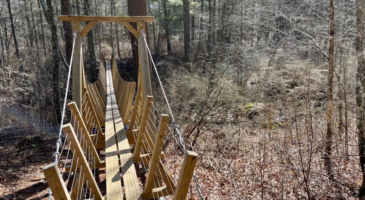
Cole Conservation Land in Carver is a 242-acre woodland with more than 3 miles of well-marked trails, views of ponds and wetlands, and a remarkable suspension bridge.
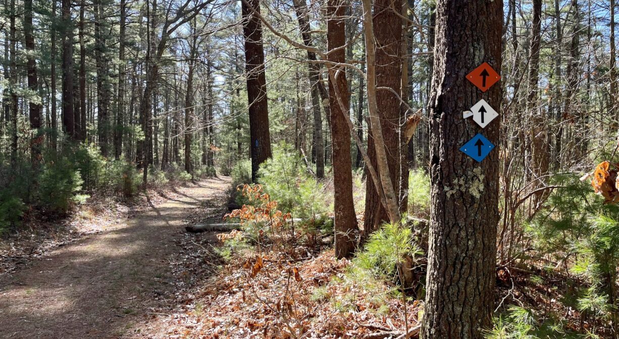
Note: The suspension bridge is on the orange trail, which is accessible from the northeast end of the white loop trail. See trail map for details.
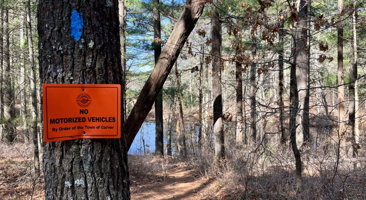
HUNTING: Hunting is allowed, in season, by licensed persons in compliance with Massachusetts law. Please be sure to understand state and local hunting guidelines before proceeding. Non-hunters, be mindful of hunting seasons, and wear bright orange if you’re entering the property during those times. Hunting is not permitted on Sundays.
Features
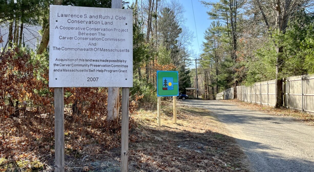
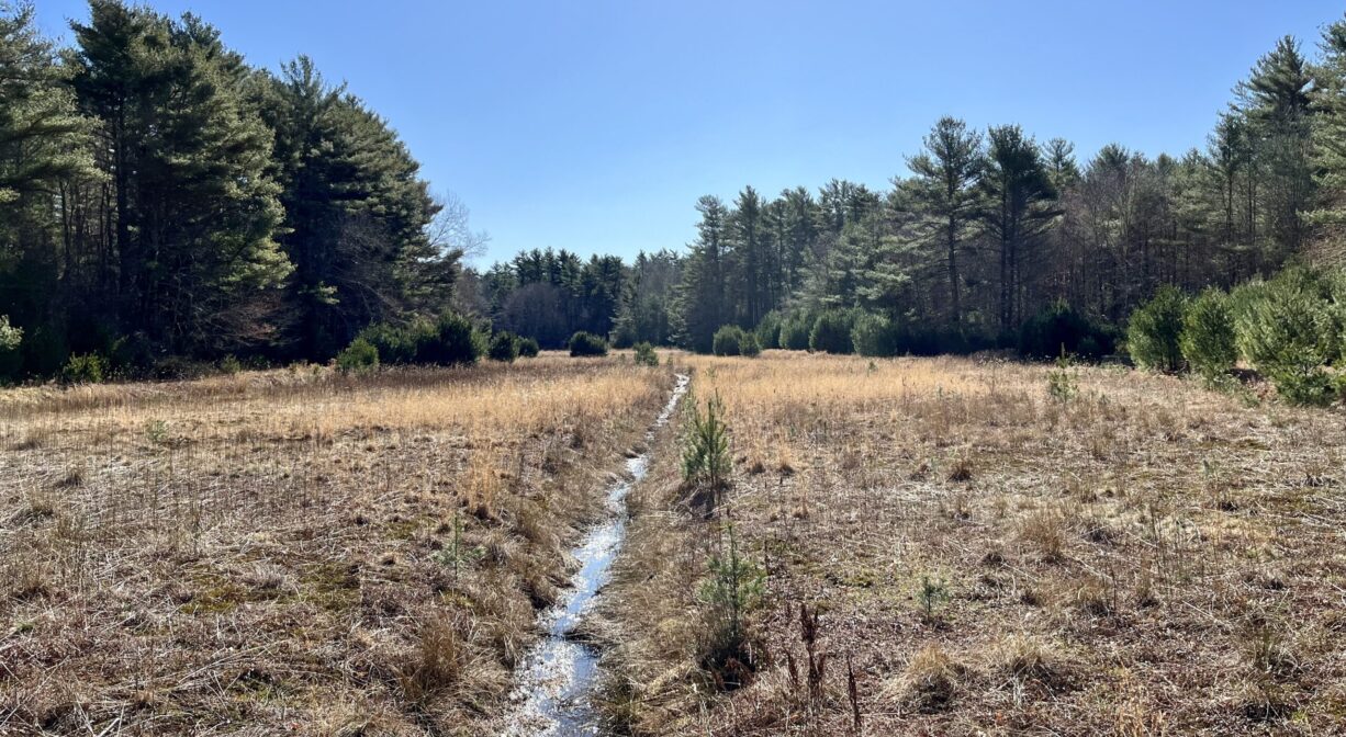
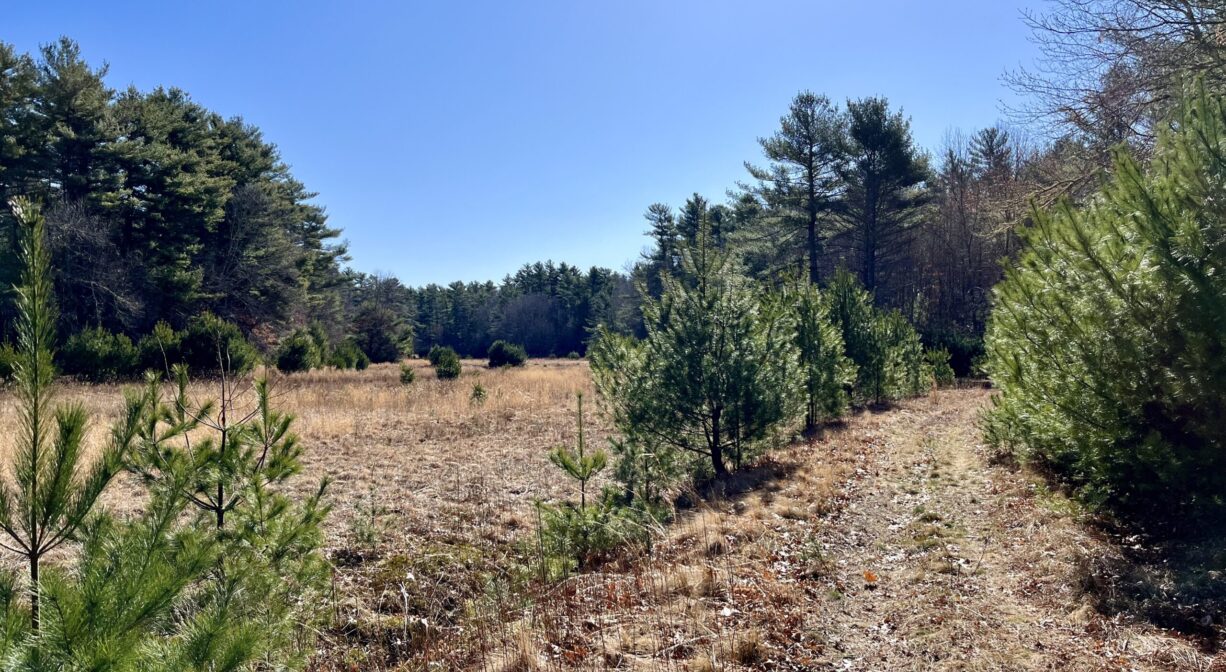
This former agricultural property was protected with Community Preservation funds in 2007. Carver adopted the Community Preservation Act in 2006 largely to protect it. There are 5 acres of cranberry bogs on site, managed by volunteers. Be advised that the property directly abuts Route 44. While you can’t easily see the highway, you can certainly hear it in the background.
This land is within the region of the Pokanoket Wampanoag tribe. An ancient Nemasket (Native American) trail passes through the property. According to the Town of Carver’s website, Annasnappet Pond nearby was a central gathering spot for Native American people, due to its sandy soil and natural spring. A 1970’s archaeological dig uncovered ample evidence.
To learn more about local tribes, we encourage you to interact with their members. The Mashpee Wampanoag and the Herring Pond Wampanoag share information on their websites.
Trail Description
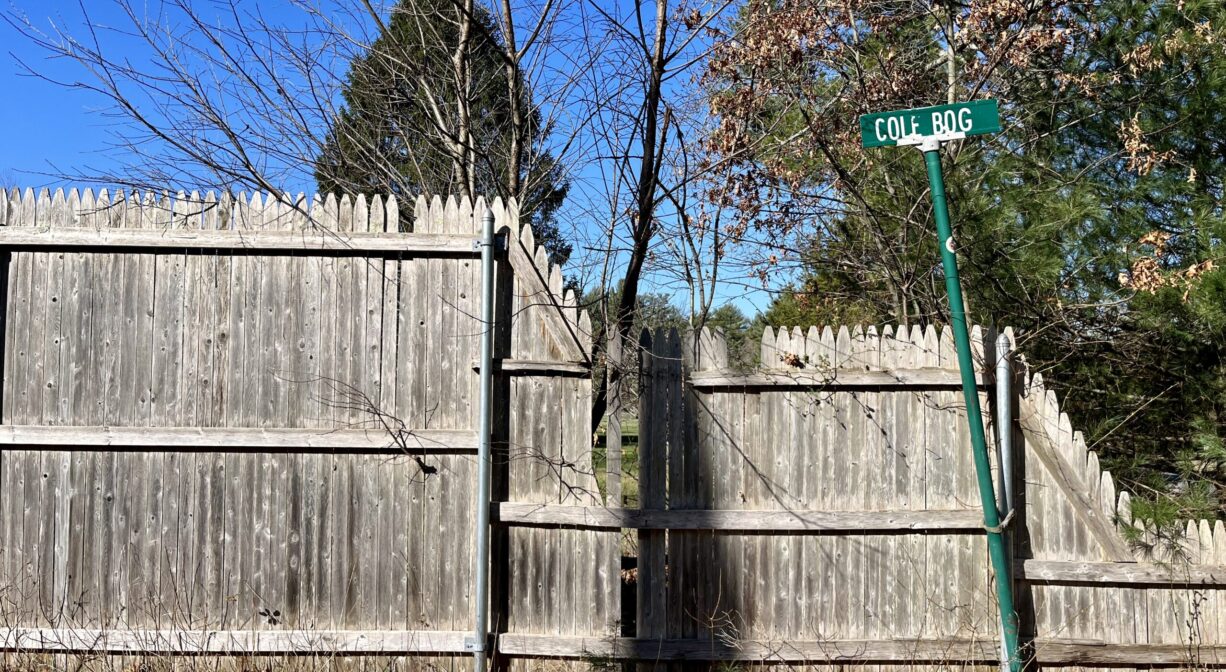
It can be easy to miss the entrance to this property. Look for the very small, green “Cole Bog” sign next to the tall wooden fence at 58 Pleasant Street. The parking area is located down a short access road.
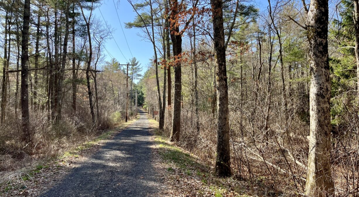
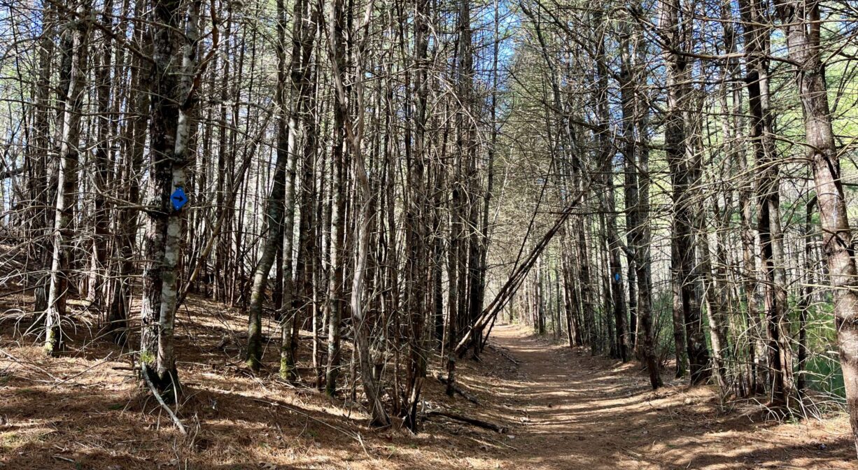
The 2-mile blue trail begins as crushed stone but eventually becomes a more natural forest path. It leads straight into the property and then continues in a loop, which connects it to a small cranberry bog. Trail mileage is posted along the way.
From the blue trail, you can access two additional forest/wetland loop trails. The white trail, a 1-mile loop, connects directly to the blue trail in 2 places. The orange trail, a longer loop featuring a suspension bridge, is accessible from the northeast end of the white loop.
The trails here are generally wide, well-marked, and easy to follow. Some areas are steep, but never for very long. Some sections have rocks and/or roots underfoot. There are occasional stream crossings as well — some with bridges, and some without.
Visit Town of Carver website for additional trail maps.
Habitats and Wildlife
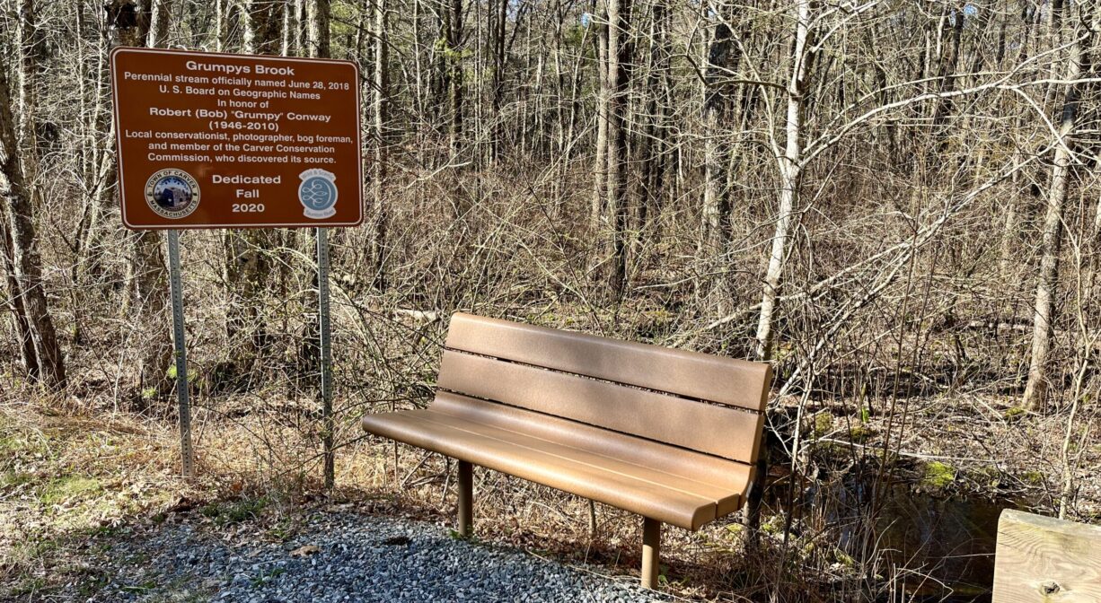
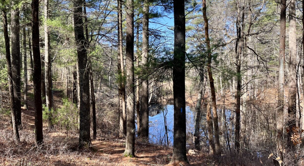
This wooded property features oak, pine, birch, maple, hemlock, and holly trees. There is a 5-acre cranberry bog on site, as well as small ponds, swamps, and other wetland areas. Grumpy’s Brook flows through the site.
Grumpy’s Brook and the other waters on this property flow to the Winnetuxet River. The Winnetuxet River originates in Carver, near the Cole Mill site, and flows west through Plympton and Halifax to the Taunton River.
Historic Site: No
Park: No
Beach: No
Boat Launch: No
Lifeguards: No
Size: 242 acres
Hours: Dawn to Dusk
Parking: Limited on-site parking. Look for the small green "Cole Bog" sign at 58 Pleasant Street, Carver.
Cost: Free
Trail Difficulty: Easy, Medium
Facilities:
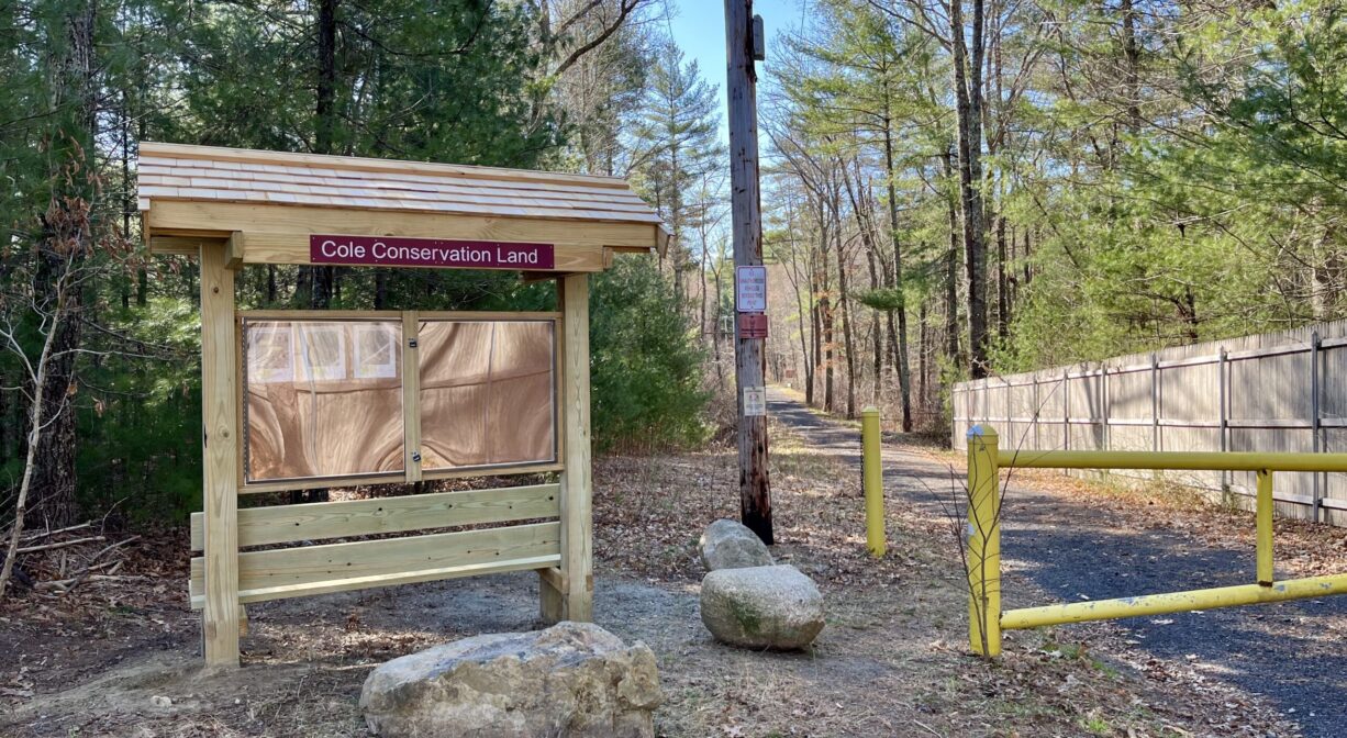
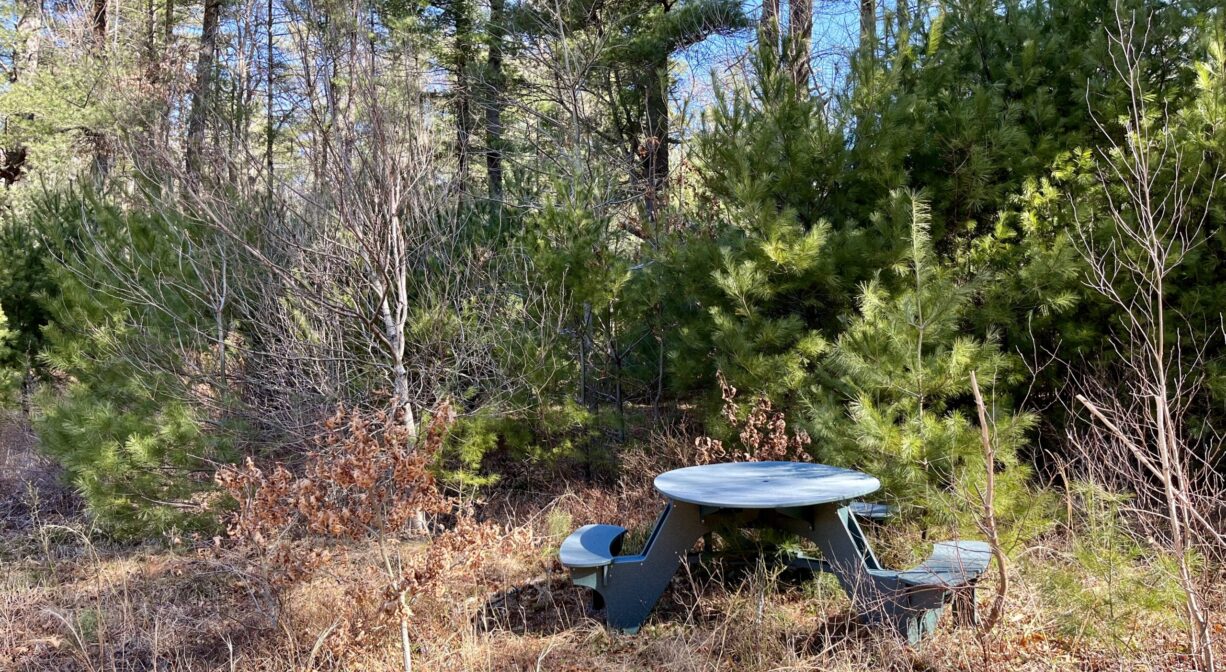
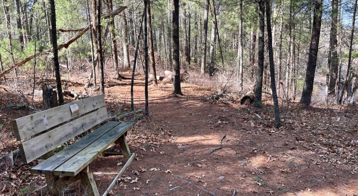
Benches, bridges, informational kiosk, suspension bridge. There is a picnic table beside the trail around the cranberry bog. Geocache location.
Dogs: Dogs must remain on leash. Always clean up after your dog!
Boat Ramp: No
ADA Access: No
Scenic Views: Yes
Waterbody/Watershed: Winnetuxet River (Taunton River watershed)