
Owned By: Town of Whitman
Whitman’s Donald Flaherty Trail is a 0.7-mile out & back trail that extends through the woods and along wetlands.
Features
There are some old stone walls in the woods along the trails and also some culverts and pipes that suggest prior agricultural use.
This land is within the region of the Massachusett (or Massachuseuk). To learn more about local Native American tribes, we encourage you to interact with their members. The Mattakeeset band of the Massachusett and the Massachusett tribe at Ponkapoag both share information on their websites.
Trail Description
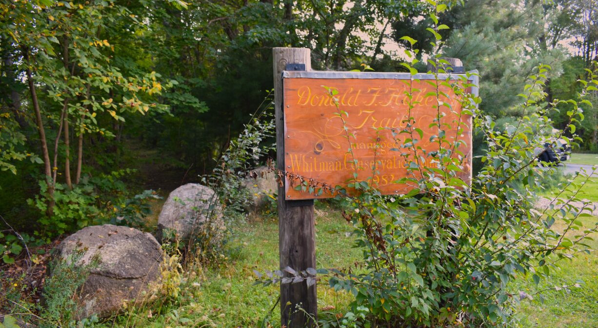
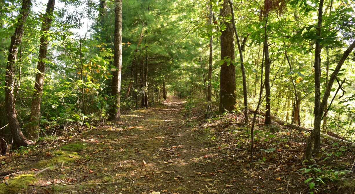
There is a large wooden sign at the trailhead, as well as a small metal sign. They are easy to miss! The trailhead is a little overgrown, but it opens up into a path that runs along an embankment several feet above the wetlands on either side. It extends for about 0.7 miles and then ends abruptly in the woods. There are some spurs off the main trail, but none lead very far. One spur leads to the St. James Cemetery. This could serve as an alternate access point, but it’s not easy to find the trail when entering from the cemetery …unless you know where to look!
Habitats and Wildlife
The trail runs along an embankment (probably an old road) through wetlands and into the forest. The trees are predominantly maple, oak, beech and pine, with some hemlock and lots of fern. Look for great blue herons in the marshy areas.
The wetlands and streams within this property drain to Meadow Brook, a tributary to the Matfield River. The Matfield River flows into the Taunton River. We encourage you to follow and support the Taunton River Watershed Alliance.


Historic Site: No
Park: No
Beach: No
Boat Launch: No
Lifeguards: No
Size: 0.7 mile trail
Hours: Dawn to Dusk
Parking: No designated parking, but there is room for 1-2 cars on the side of Auburn Street (approx. #32), near the trailhead, close to the intersection with Washington Street.
Cost: Free
Trail Difficulty: Easy
Facilities:
Bench.
Dogs: Dogs must remain on leash. Always clean up after your dog!
Boat Ramp: No
ADA Access: No
Scenic Views: Yes
Waterbody/Watershed: Meadow Brook / Matfield River (Taunton River watershed)