
174 East St, Duxbury, MA 02332, USA
Town of Duxbury: (781) 934-1100 ext. 5471
Owned By: Town of Duxbury
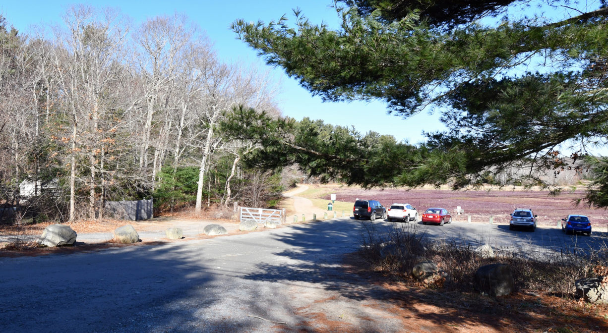
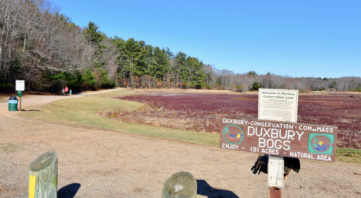
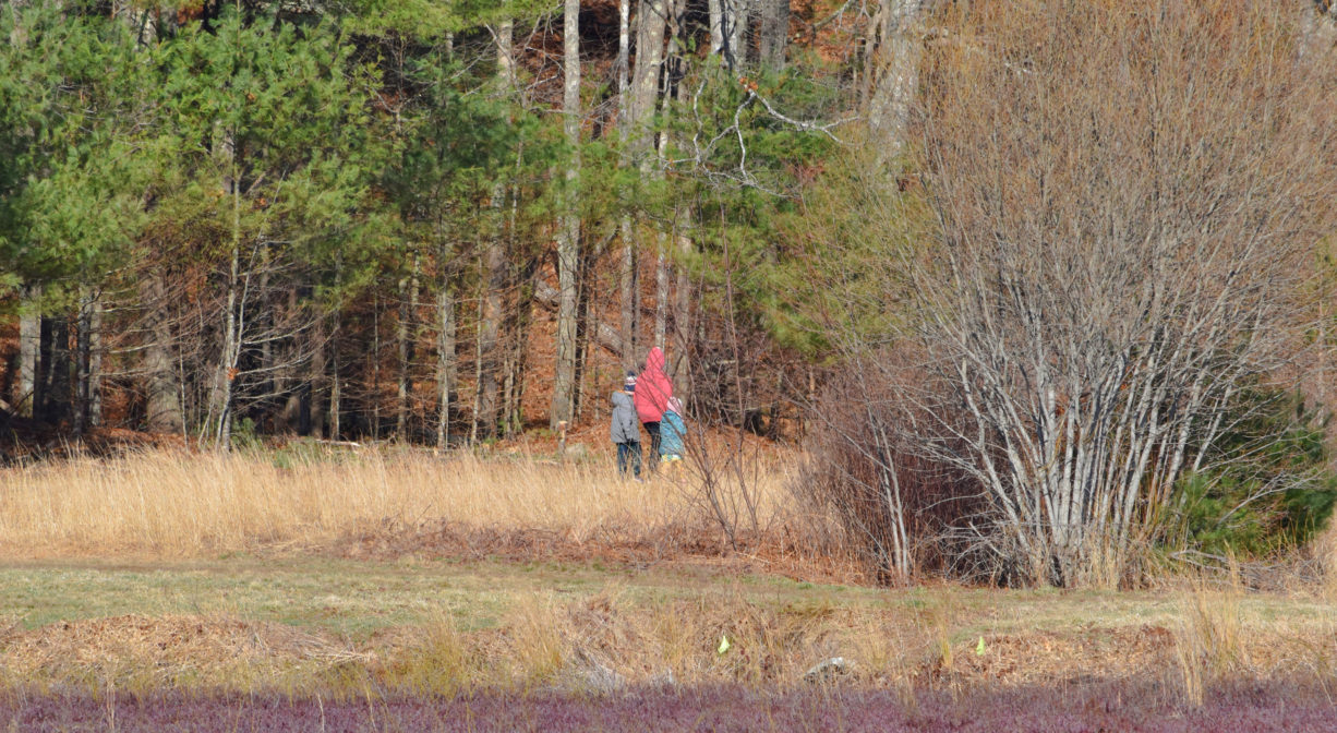
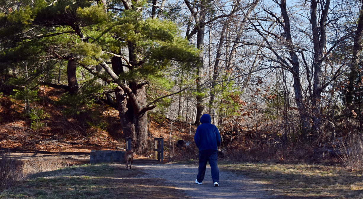
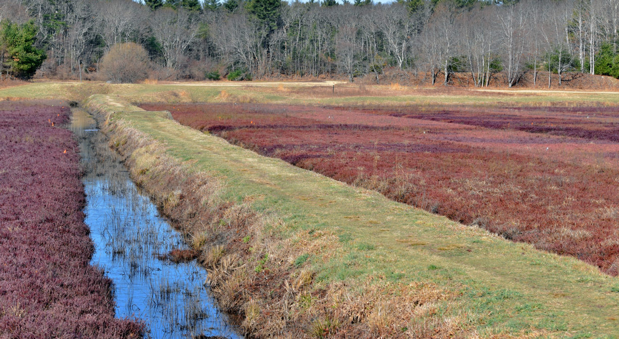
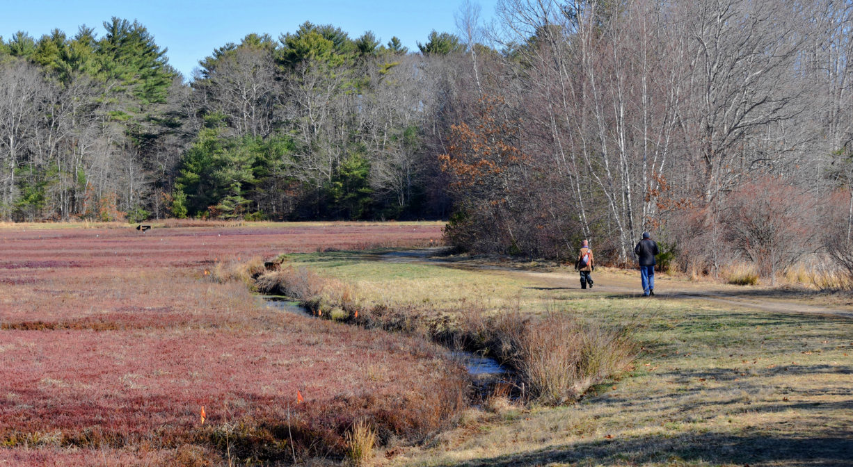
The 198-acre Duxbury Bogs features a 4.5-mile trail network that includes a section of the Bay Circuit Trail. Also known as the East Street Bogs and Loring Bog, the property features active cranberry bogs, wetlands, reservoirs, and forested upland. It is stroller-friendly in some sections. Occasionally the trails are closed to the public, to allow space for cranberry harvesting and cultivation.
Hunting is not permitted on this property.
FISHING ADVISORY: It’s important to know that some of our freshwater fisheries are contaminated with mercury, PFAS and/or other concerning substances. The Massachusetts Department of Public Health maintains an online database with up-to-date advisories regarding fish consumption, sorted by location. We recommend you consult this valuable resource when planning a fishing excursion.
Features
The Duxbury Bogs were purchased by the Town of Duxbury in 1971 to preserve the agricultural landscape of the cranberry bog. The area includes 39 acres of working bogs plus 191 acres of conservation land. It was first developed in 1927 by F. M. Leonard’s Clearbrook Cranberry Company. Edgar W. Loring took over the enterprise in 1930, and enlarged the farm and its adjacent reservoir significantly. The Loring Bogs employed 8-10 year-round workers, and as many as 75 during harvest season.
Prior to European contact, the Mattakeeset band of the Massachuseuk (or Massachusett) Native American tribe lived for thousands of years in the North River watershed. Their village included most of today’s Pembroke and Hanson. Meanwhile the Patuxet band of the Wampanoag tribe inhabited the Jones River watershed, and the area now known as Kingston, Plymouth and Duxbury. This property lies within the upper portion of the South River watershed — right between those two territories. It’s possible that both tribes utilized the area.
To learn more about local tribes, we encourage you to interact with their members. The Mattakeeset band of the Massachusett, the Massachusett tribe at Ponkapoag, the Mashpee Wampanoag, and the Herring Pond Wampanoag also share information on their websites.
Trail Description
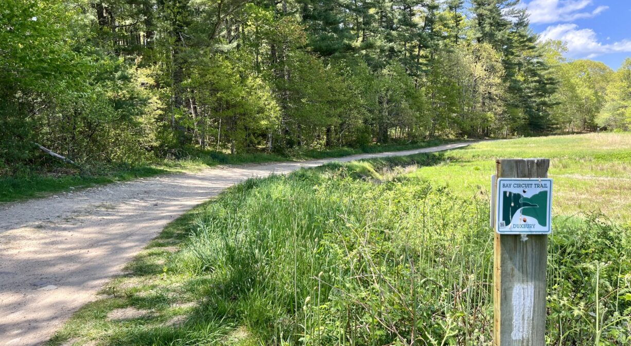
There are 4.5 miles of trails on the property. These are primarily wide dirt roads that encircle the cranberry bogs, but there are also some narrower woodland paths. A 0.8-mile section of the Bay Circuit Trail runs through the property, from East Street to Mayflower Street.
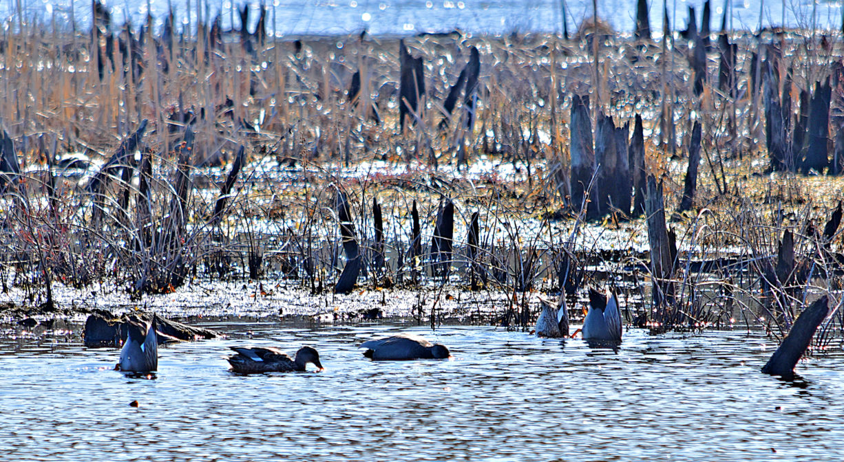
Habitats and Wildlife
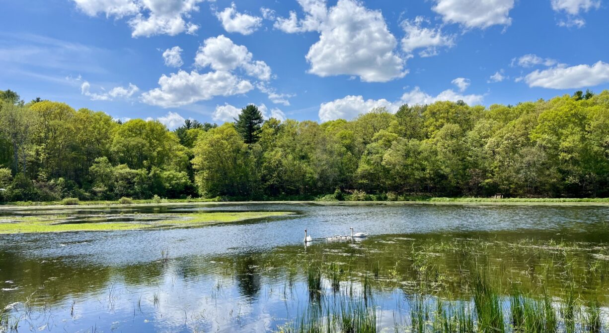
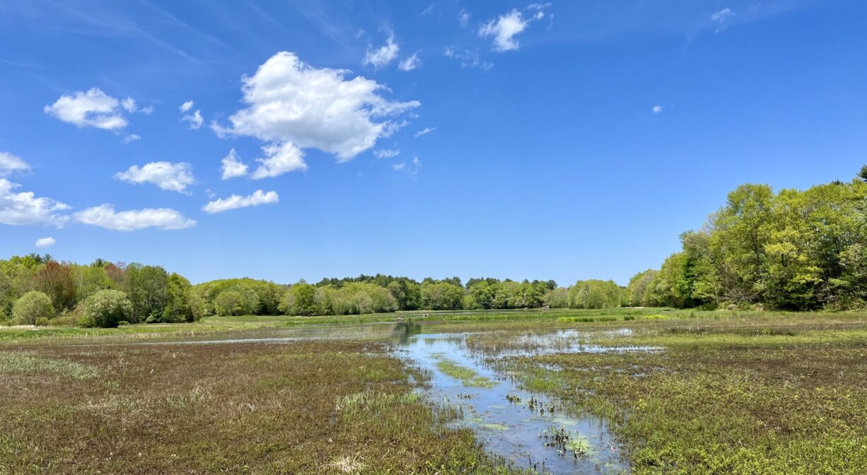
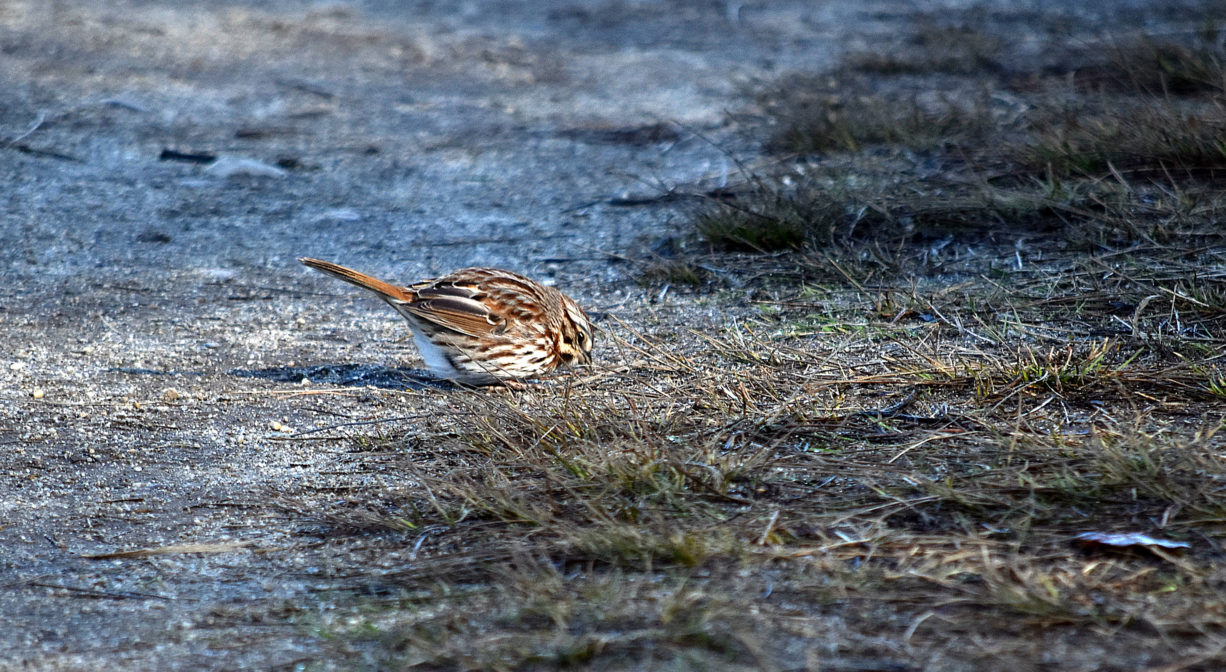
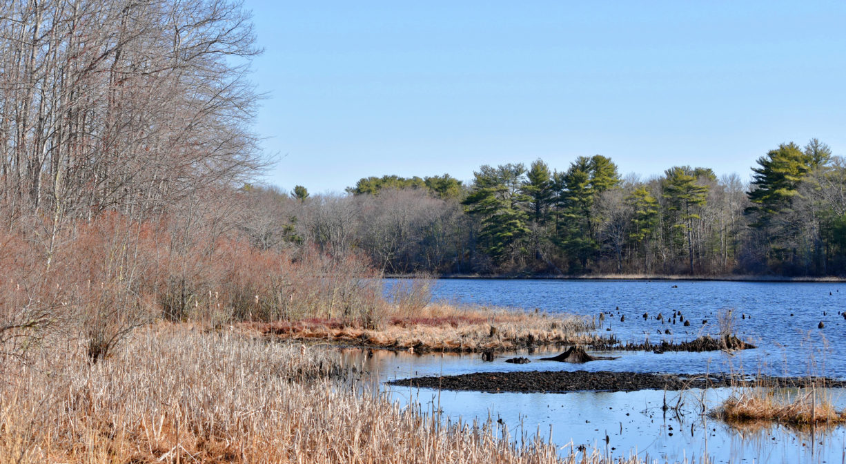
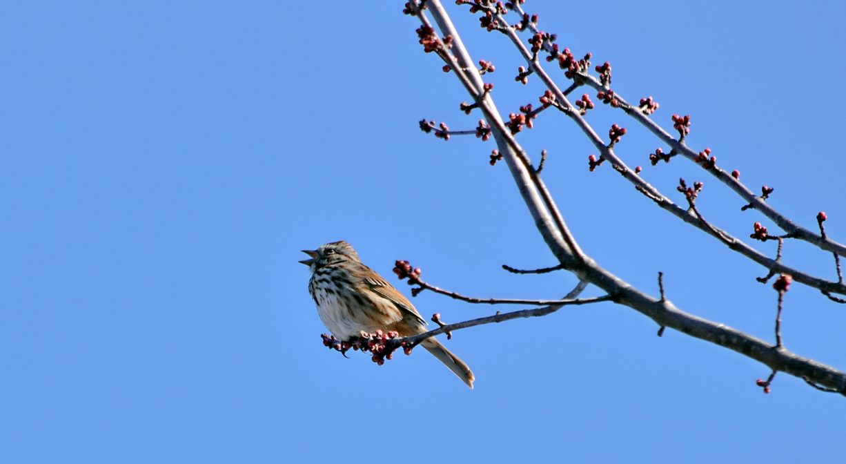
With a variety of habitats, the Duxbury Bogs attract all sorts of wildlife, especially birds. The woodlands include pine, oak, sumac, fern, milkweed and bittersweet. There is a glacial esker in the middle of the property. The ponds are stocked with fish.
Most of the land here is cranberry bogs, surrounded by their characteristic roadways, dikes, and canals. However there are also trails through the woods, and along the edge of Cranberry Factory Pond and another large pond known as the Sunken Forest, or Golden Reservoir. Some of the headwaters of the South River are located here as well. This property is within the watershed of the South River.
There are two types of cranberry vines here: Early Black and Howes. Early Black berries are by far the most common in Massachusetts, and were originally cultivated 1850, in Harwich. They are sold fresh, and also for producing juice. Howes berries are a more recent crop variety, but also very common in Massachusetts. High in pectin, they too are sold fresh, and typically are used for jelly and sauce. All of the cranberry vines at the Duxbury Bogs are at least 100 years old.


Historic Site: No
Park: No
Beach: No
Boat Launch: No
Lifeguards: No
Size: 198 acres
Hours: Dawn to Dusk
Parking: Limited on-site parking on East Street.
Cost: Free
Trail Difficulty: Easy
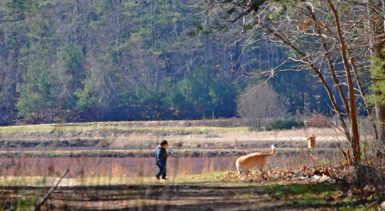
Dogs: This location is an active farm. Dogs are permitted on the trails, but they are not allowed in the bogs at any time. All dogs shall be effectively restrained and controlled by a chain or leash, or otherwise under the immediate and effective control of a handler, or confined to a motor vehicle. Each person who owns, possesses or controls a dog shall remove and properly dispose of any feces left by his/her dog. For current rules see: https://www.town.duxbury.ma.us/animal-control
Boat Ramp: No
ADA Access: No
Scenic Views: Yes
Waterbody/Watershed: Golden Reservoir (South River watershed)