
Rockland Recreation: 781-871-1730
Owned By: Town of Rockland
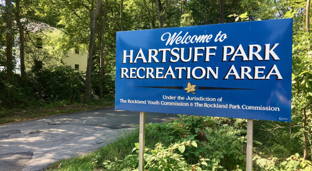
Rockland’s 16.5-acre Hartsuff Park features a playground, a 9-hole disc golf course, and at least a mile of nature trails, plus athletic fields and a seasonal swimming beach. This town-owned, multi-use property is uniquely appealing because of its woodland setting.
Hunting is not allowed on this property.
SWIMMING: Massachusetts routinely checks water quality at public swim spots and shares the data in an online database. Save this link so you can check water quality before you go.
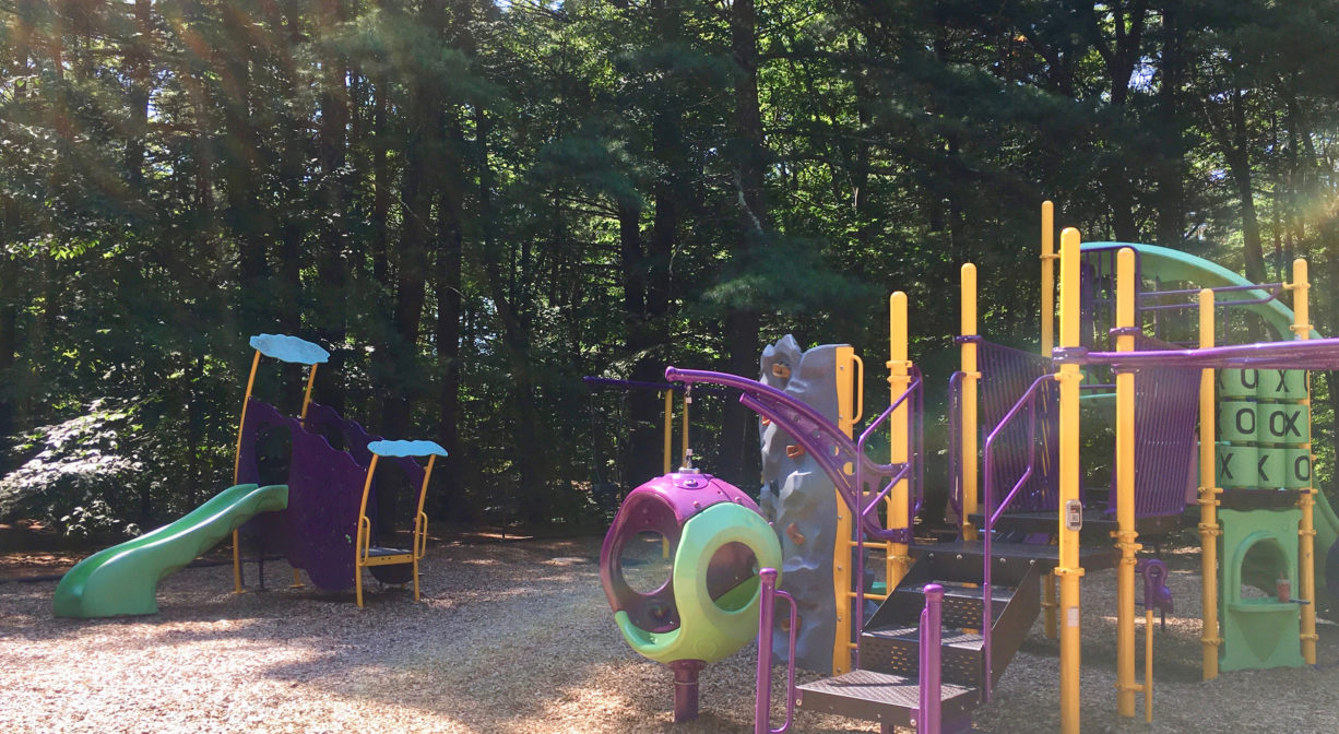
Features
Overseen by Rockland Youth Commission. The playground is a popular feature here, as is the 9-hole disc course. There is a small swimming pond, with a sandy beach, for use by Rockland residents only. In season, it has lifeguards on duty Monday through Friday, 11am to 5pm. Also, weekends 12-5pm, but only during extreme hot spells.
According to Remembering Old Abington by Martha Campbell, Hartsuff Park gets its name from the Grand Army of the Republic (GAR) Post #74 in East Abington (now Rockland), which was named for Major General George L. Hartsuff, commander of the 23rd Army Corps. The park was initially opened as a baseball field “in the days of the ‘street-car circuit’ when the teams in the area were all connected by the electric cars and used that means of transportation to get to the games.”
This land is within the region of the Massachuseuk (or Massachusett) Native American tribe. According to Martha Campbell’s Remembering Old Abington, the original town of Abington included today’s Abington and Rockland as well as most of Whitman. In the 1660s, European settlers from Weymouth began establishing homesteads within the town. While the settlers came from Massachusetts Bay Colony, the land was part of Plymouth Colony. All of the 18 original land grants were along the Satucket Path, a trail established by Native Americans that extended from Wessagusset in North Weymouth to Robbins Pond in East Bridgewater.
To learn more about local Native American tribes, we encourage you to interact with their members. The Mattakeeset band of the Massachusett and the Massachusett tribe at Ponkapoag share information on their websites.
Trail Description
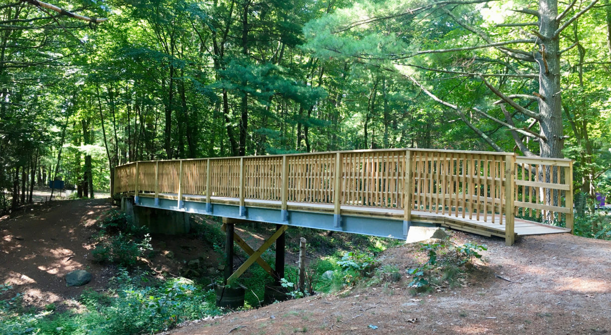
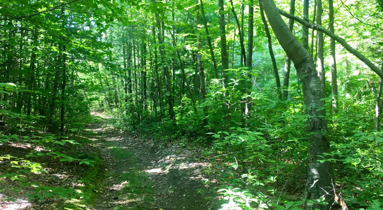
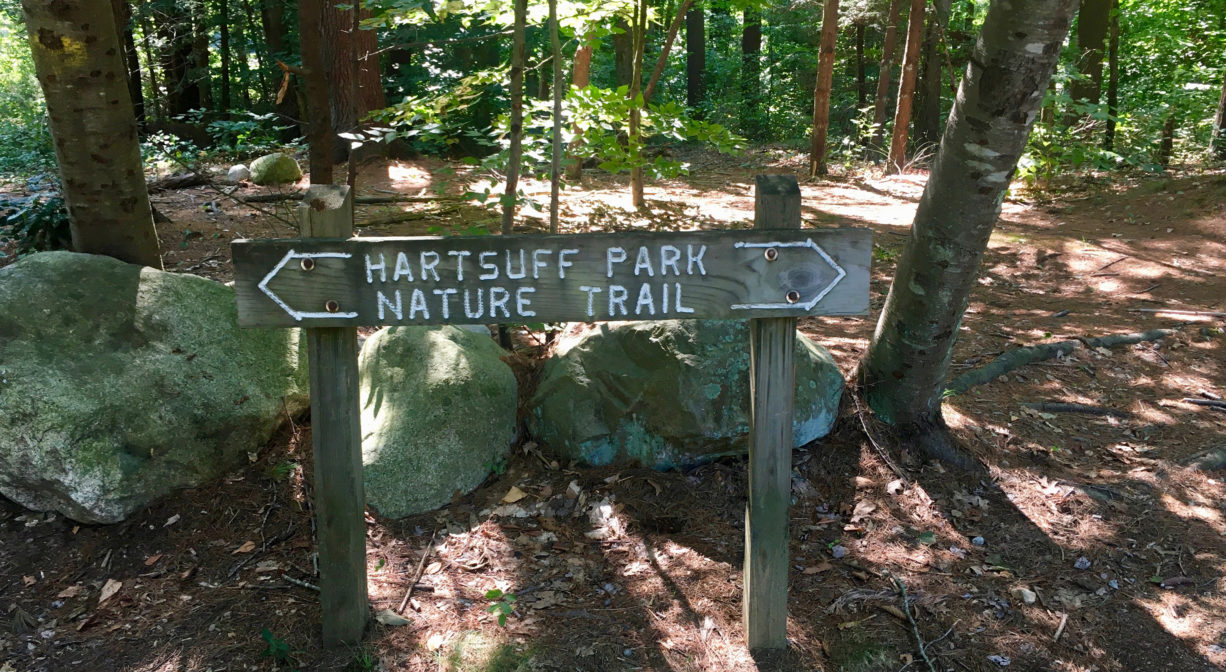
The Hartsuff Park Nature Trail extends through much of the property. Between that and the additional trails of the disc golf course, you can walk for at least a mile altogether, mostly through the woods. The trail is generally flat and wide, with the occasional small hill. Some sections are rocky. It also features a large wooden footbridge, which extends over a sometimes-dry stream bed.
Habitats and Wildlife
This park is bordered on all sides by woodlands — primarily oak and beech, with some pine and yellow birch. The land drains to Cushing Brook, a tributary to the Drinkwater River, which leads to the Indian Head River, and ultimately to the North River system.

Historic Site: No
Park: Yes
Beach: Yes
Boat Launch: No
Lifeguards: Lifeguards in season.
Size: 16.5 acres
Hours: Dawn to dusk.
Parking: Ample on-site parking at the 146 Hingham Street entrance. Additional parking at the Hartsuff Street entrance.
Cost: Free
Trail Difficulty: Easy
Facilities:
Benches, several picnic tables (some within pavilions), grills, trash receptacles, Little Free Library, playground, 9-hole disc golf course, athletic fields (basketball and soccer), bathhouse (in season), swimming pond (in season, for Rockland residents). Geocache location.
Dogs: No animals allowed.
Boat Ramp: No
ADA Access: No
Scenic Views: Yes
Waterbody/Watershed: Cushing Brook (North River watershed)