
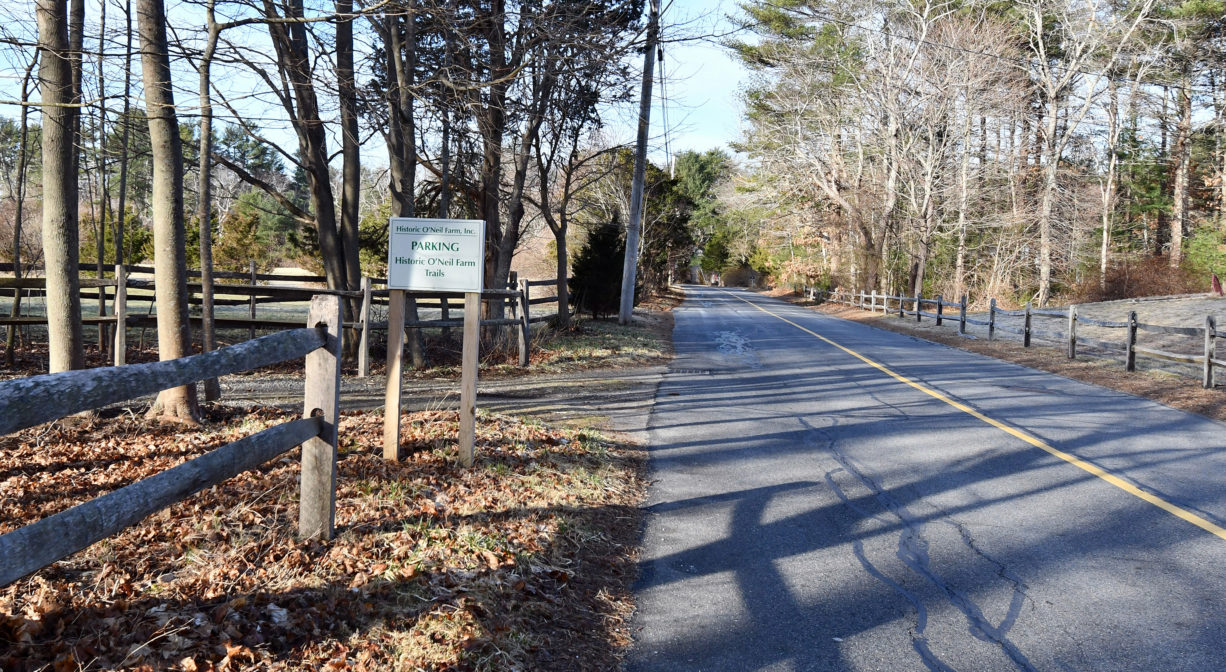
349 Autumn Ave, Duxbury, MA 02332, USA
http://www.historiconeilfarm.org
Owned By: Historic O'Neil Farm, Inc.
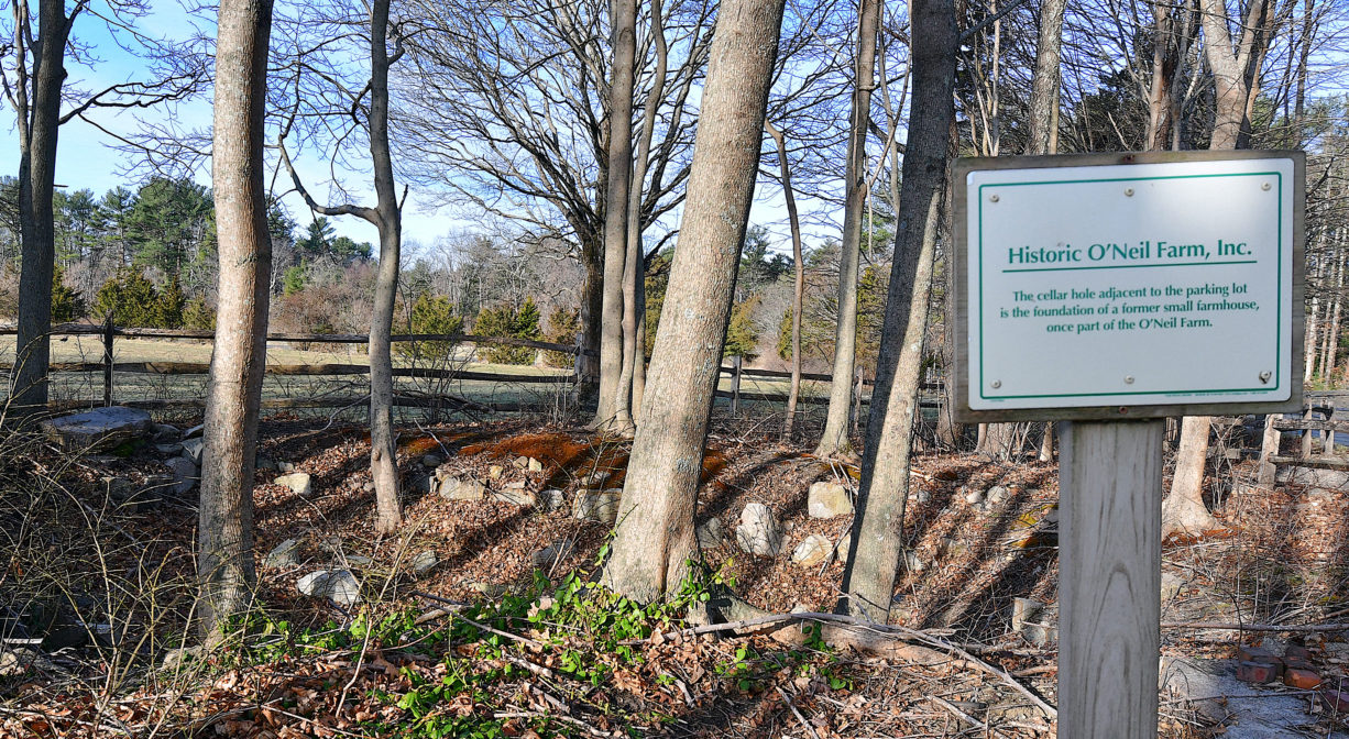
Historic O’Neil Farm in Duxbury features more than 2 miles of trails through woods, wetlands and pasture, plus views of working farms. The 145-acre property has been in continuous agricultural use since the early 1700’s. DeLorenzo Farm, immediately adjacent, is not currently open to the public, but there are plans to construct trails there in the future.
Hunting is not allowed on this property.
Features
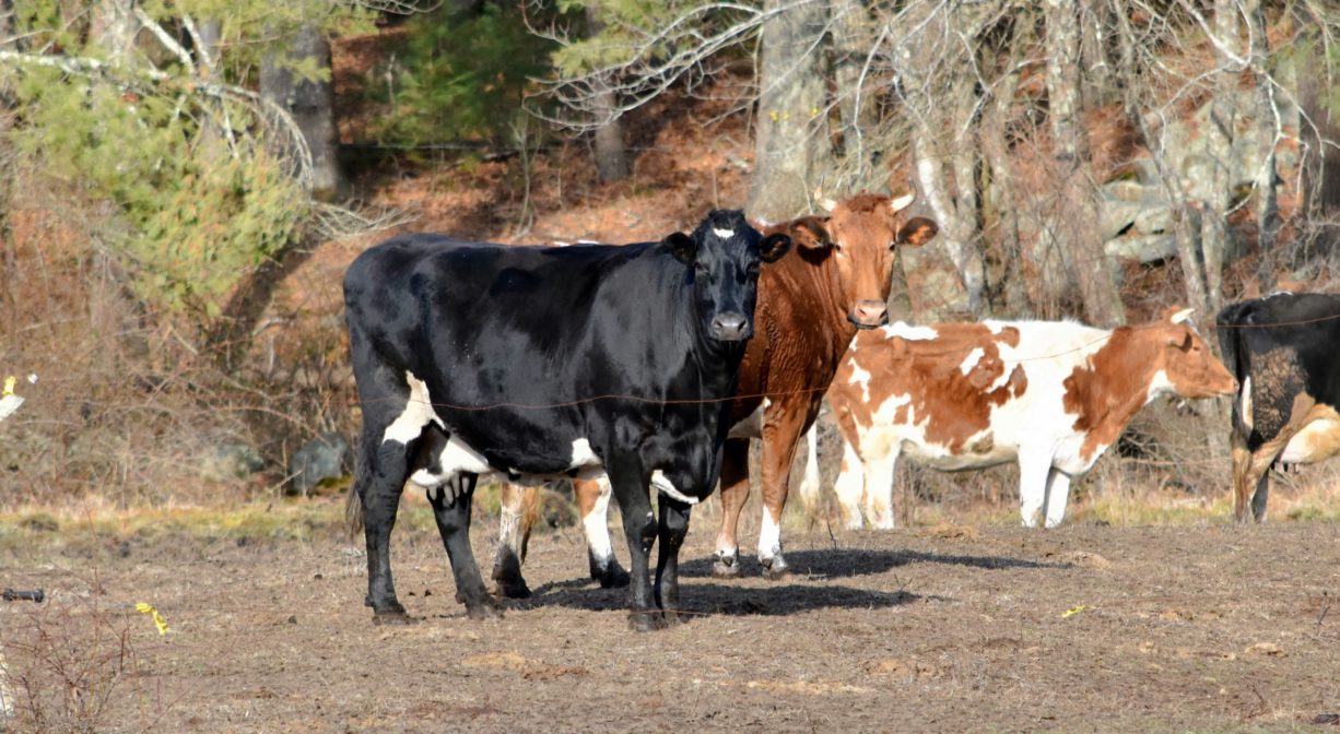
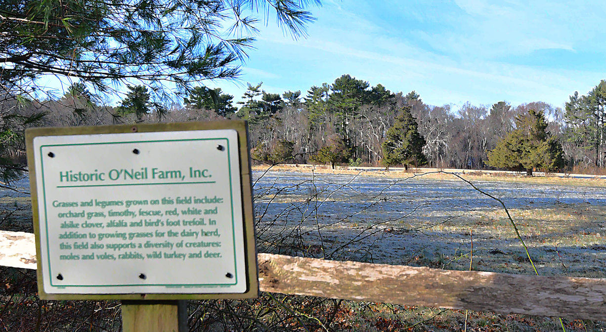
In 2005, Historic O’Neil Farm, Inc., a private non-profit corporation, was established (with significant assistance by the Wildlands Trust of Southeastern Massachusetts, private donors, and Duxbury voters) to preserve the agricultural heritage of the O’Neil Farm. Today Carl O’Neil, whose family established the dairy over 100 years ago, continues operate the farm with approximately 40 milking cows.
Farming began on this land over 200 years ago. A few families passed it from generation to generation, beginning with the Chandlers. (The southwest part of Duxbury was known for a time as Chandlerville because there were so many Chandlers living there. It was also known as Tarkiln, because of a kiln and tar pits located there even earlier.) In the 1700s, the Chandler and Russell families kept cattle, sheep and pigs on this property, and grew crops such as corn, rye, barley and wheat. The families harvested timber from the adjacent woodlands, and cut it into lumber at a mill on Pine Brook, nearby.
This land is within the region of the Patuxet Wampanoag tribe, who for centuries have inhabited the area around the Jones River now known as Duxbury, Kingston and Plymouth. To learn more about local Native American tribes, we encourage you to interact with their members. The Mashpee Wampanoag and the Herring Pond Wampanoag share information on their websites.
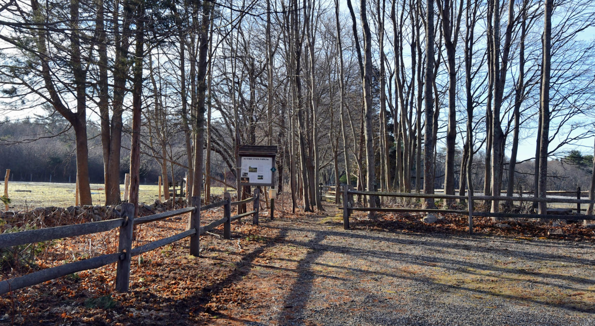
Trail Description
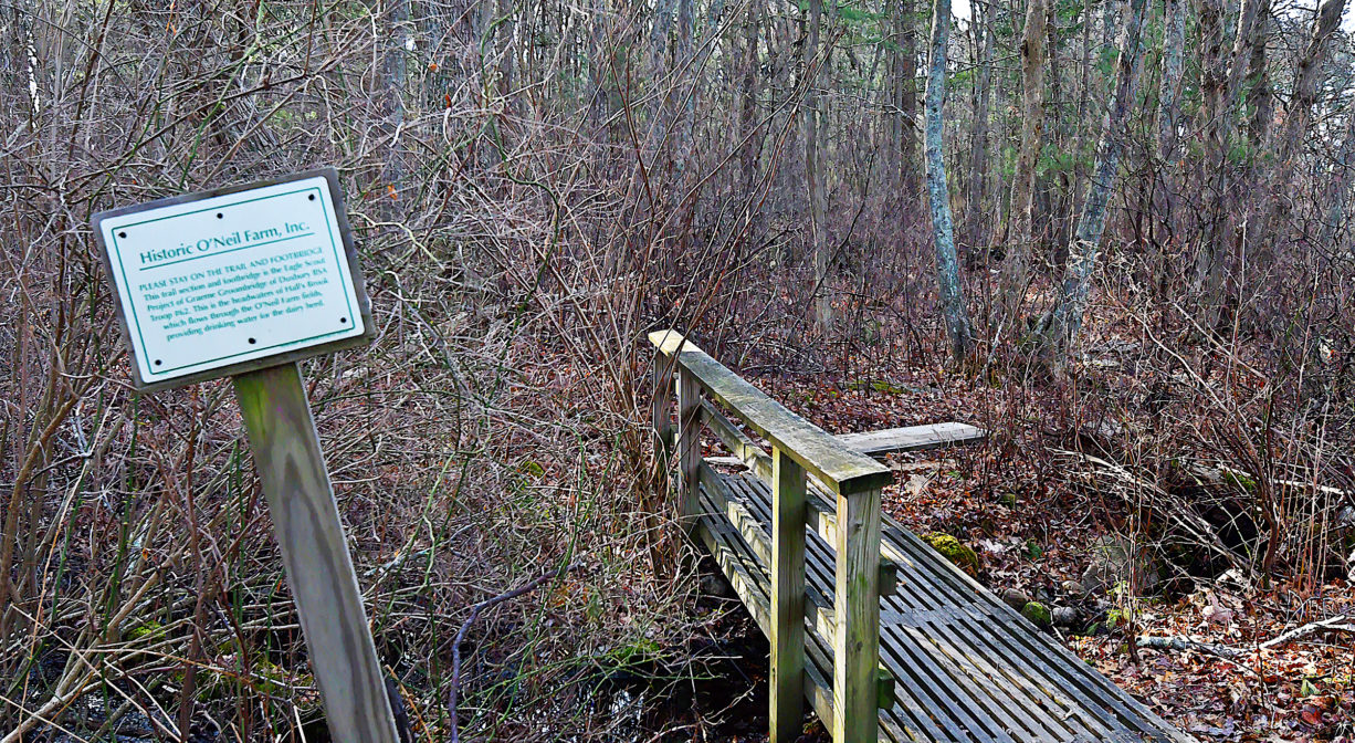
There are about 2.3 miles of trails on the Historic O’Neil Farm property, with the occasional wooden footbridge.
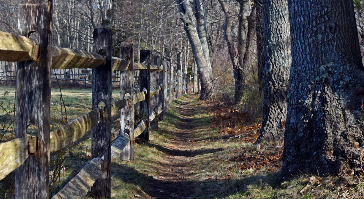
• The Chandler Trail is a 1.5 loop that includes interpretive signs, a brook crossing, and wildlife habitats. The Chandler family, ancestors of the O’Neil family, owned the land from the 1700s through the twentieth century.
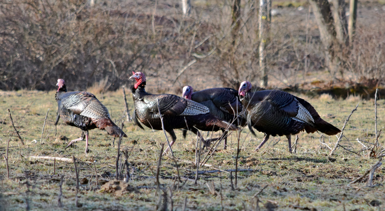
• The Avery Trail runs 0.8 miles through the woods, past grazing pastures, and a vernal pool. Interpretive signs provide information on the cows, their feed, farm wildlife, and other agricultural features. Carl O’Neil’s great-great grandfather Ebenezier Avery purchased this Chandler family property establishing the dairy in the 1890s.
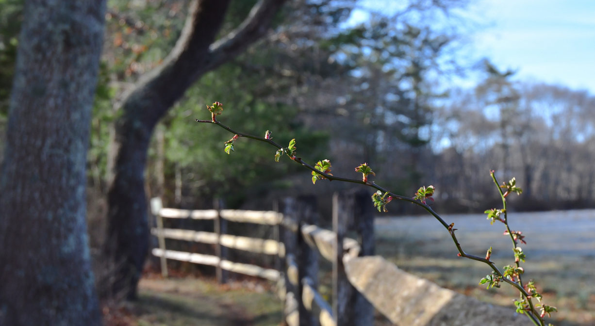
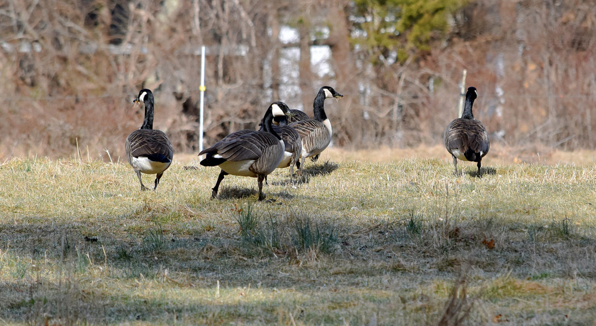
Habitats and Wildlife
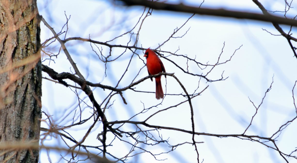
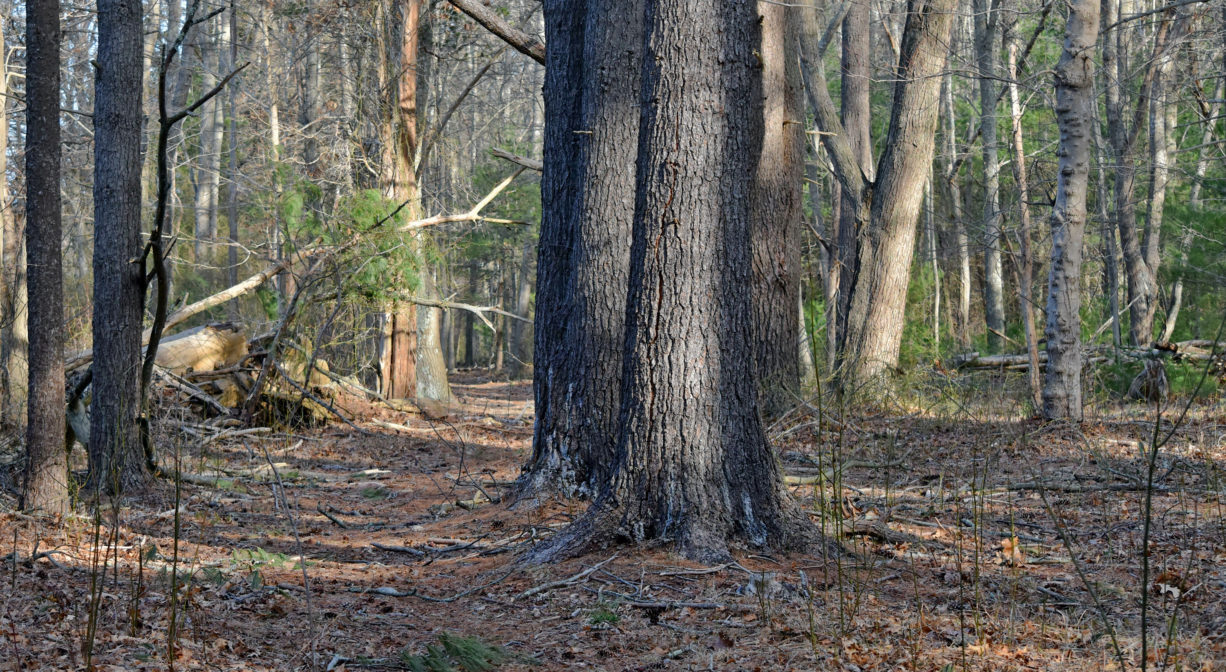
There are wide open pastures here as well as woodlands, wetlands and at least one vernal pool. The forests are composed primarily of pine and oak, with some birch and some cedar. The many fallen trees provide habitat and nourishment for birds and mammals.
The property lies within the watershed of Pine, Brewster’s, Bassett, and Halls Brooks, which are part of the Jones River watershed. The Jones River finds it source at Silver Lake, and extends for 7.5 miles through the town of Kingston. Follow the Jones River Watershed Association for more information.
Historic Site: Yes
Park: No
Beach: No
Boat Launch: No
Lifeguards: No
Size: 145 acres
Hours: Dawn to Dusk
Parking: Limited on-site parking at 349 Autumn Ave.
Cost: Free
Trail Difficulty: Easy
Facilities:
Footbridges. Interpretive signage. Geocache location.
Dogs: Dogs must remain on leash. Always clean up after your dog!
Boat Ramp: No
ADA Access: No
Scenic Views: Yes
Waterbody/Watershed: Pine Brook, Bassett Brook, Brewster's Brook, Halls Brook (Jones River watershed)