
95 Essex St, Whitman, MA 02382, USA
Owned By: Town of Whitman
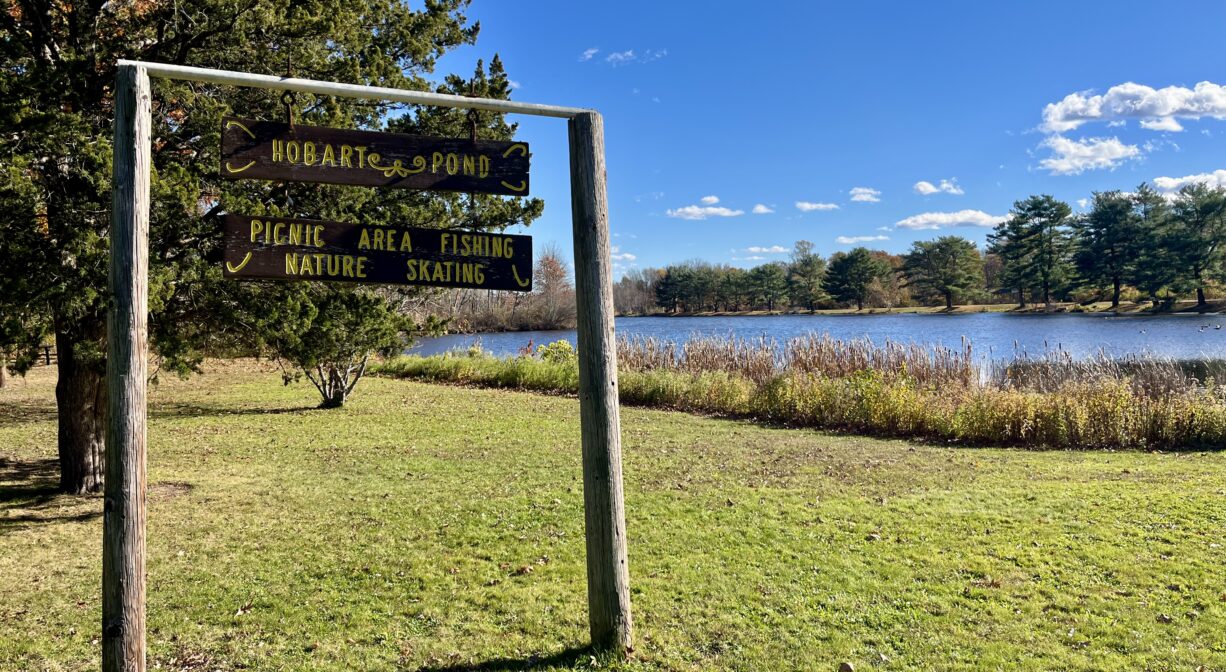
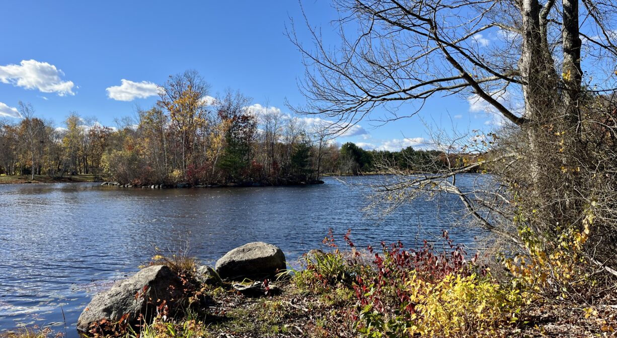
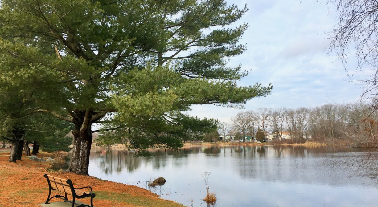
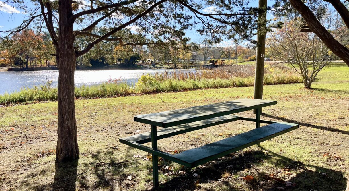
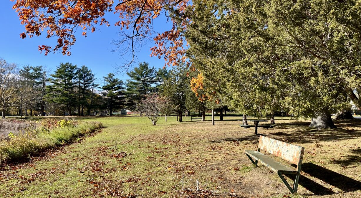
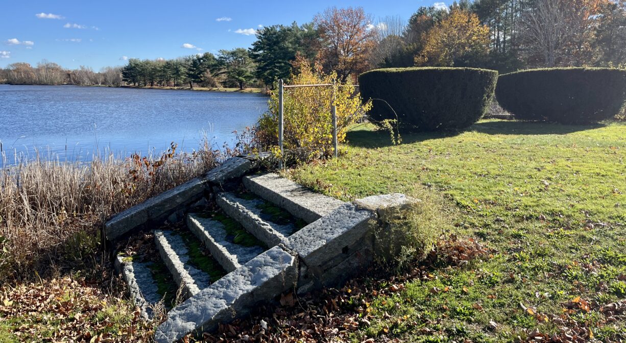
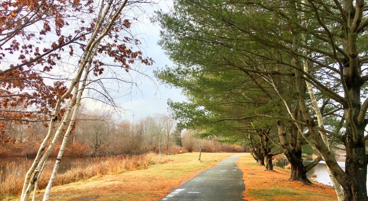
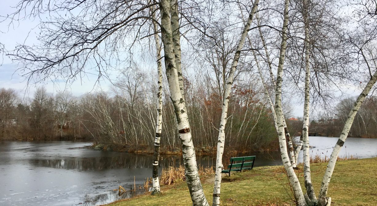
Hobart Pond in Whitman offers two small grassy parks, one on each side of the pond. Closer to the VFW, Little Comfort Historical Park is a grassy area with some picnic tables and a nature trail that extends for 0.3 miles along the edge of the pond. On the other side of the pond, near Colebrook Boulevard, there is a 1/3-mile paved walking trail. The two trails create a pleasant 0.6-mile loop. In the winter, Hobart Pond may be suitable for ice skating.
FISHING ADVISORY: It’s important to know that some of our freshwater fisheries are contaminated with mercury, PFAS and/or other concerning substances. The Massachusetts Department of Public Health maintains an online database with up-to-date advisories regarding fish consumption, sorted by location. We recommend you consult this valuable resource when planning a fishing excursion.
Features
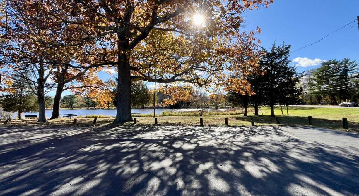
The 1/3-mile paved trail that runs alongside Hobart Pond provides pedestrian access between Essex Street and South Avenue. Bordered by a cemetery, as well as residential and industrial properties, it is a small slice of nature within a busy town. Motorized vehicles are prohibited. Across the pond, Little Comfort Historical Park is a small grassy property with picnic tables and a bench, and a 0.3-mile nature trail that extends along the edge of the pond.
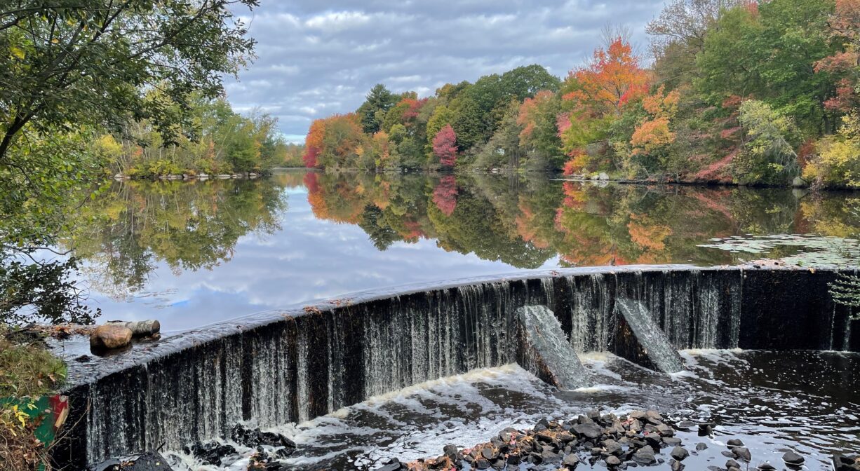
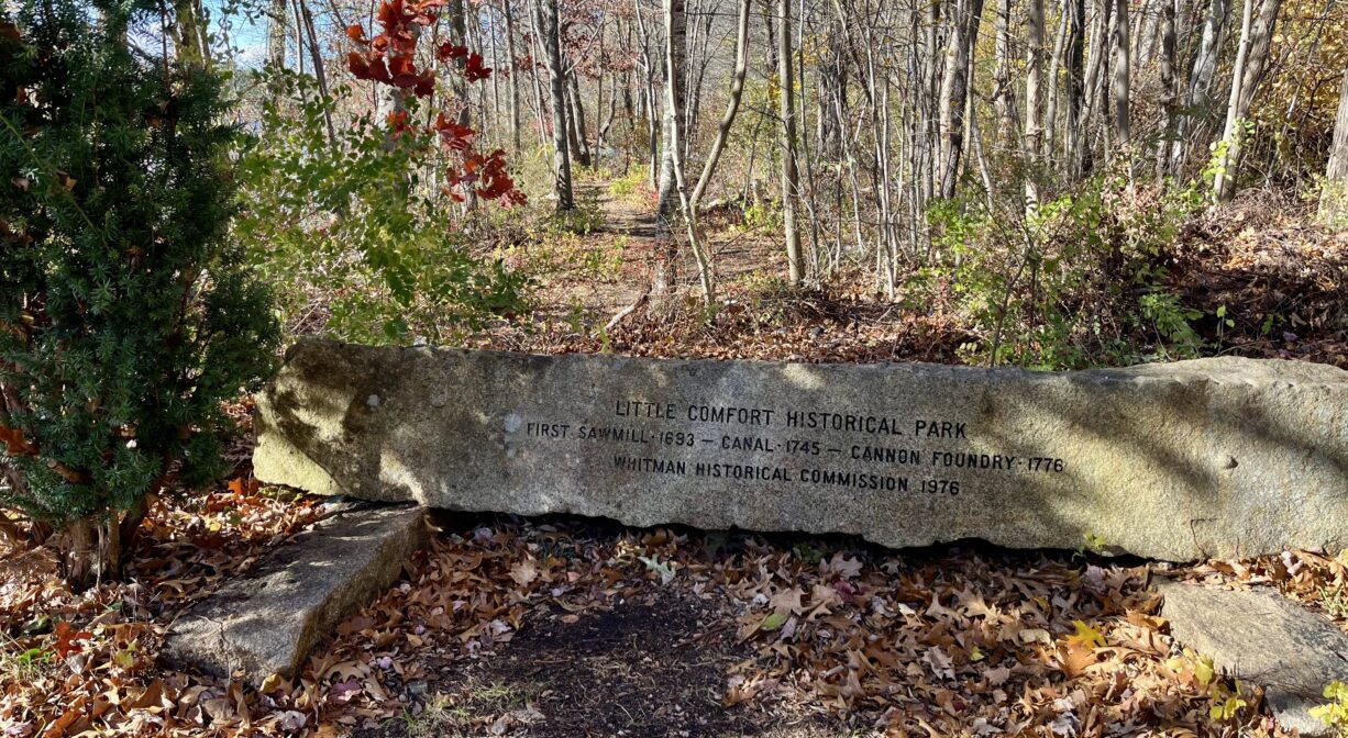
The Town of Whitman was originally known as Old Abington. Hobart Pond was created by a dam on its southern end. According to Martha Campbell’s Remembering Old Abington, the town’s first sawmill was erected here, by John Porter and Joseph Greene of Weymouth, in a narrow spot where the Shumatuscacant River cut through a ridge. (The ridge was removed when the railroad was constructed in 1845. The dam stood a little bit north of the present dam.) Greene’s son-in-law, John Gurney, was the first to operate the mill, from about 1693 to 1701. It was known as the Little Comfort Mill. In 1731, Isaac Hobart erected a gristmill on a small stream nearby. Later (mid-1700s), on the Little Comfort site, Colonel Aaron Hobart established a blast furnace and iron foundry, producing ironware, and later bells, munitions and a small number of cannon.
The manufacturing of tacks was a major industry in Whitman’s federal period. In the mid-1800s, Benjamin Hobart operated a tack factory at the old grist mill site, and added a woolen mill, a fulling mill and a date house, along with a dormitory for workers. He sold his enterprise to William H. Dunbar in 1859, and the company continued to use the site until 1863. In 1864, a brick factory was established at the Little Comfort site, by the company Dunbar, Hobart & Whidden.
This land is within the region of the Massachusett (or Massachuseuk). To learn more about local Native American tribes, we encourage you to interact with their members. The Mattakeeset band of the Massachusett and the Massachusett tribe at Ponkapoag share information on their websites.
According to Martha Campbell’s Remembering Old Abington, the original town of Abington included today’s Abington and Rockland as well as most of Whitman. in the 1660s, European settlers from Weymouth began establishing homesteads within the town. While the settlers came from Massachusetts Bay Colony, the land was part of Plymouth Colony. All of the 18 original land grants were along the Satucket Path, a trail established by Native Americans that extended from Wessagusset in North Weymouth to Robbins Pond in East Bridgewater.
Trail Description
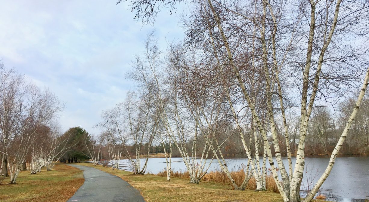
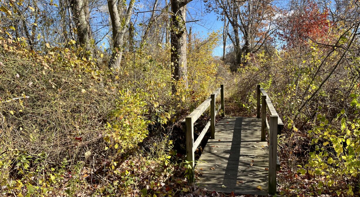
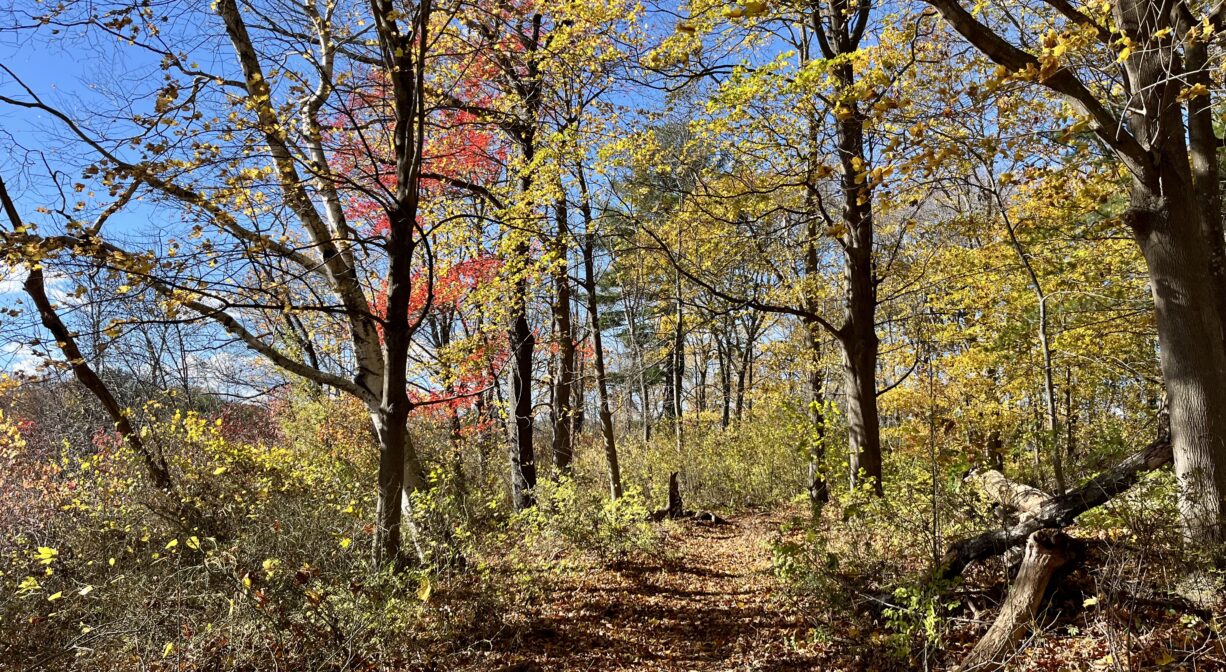
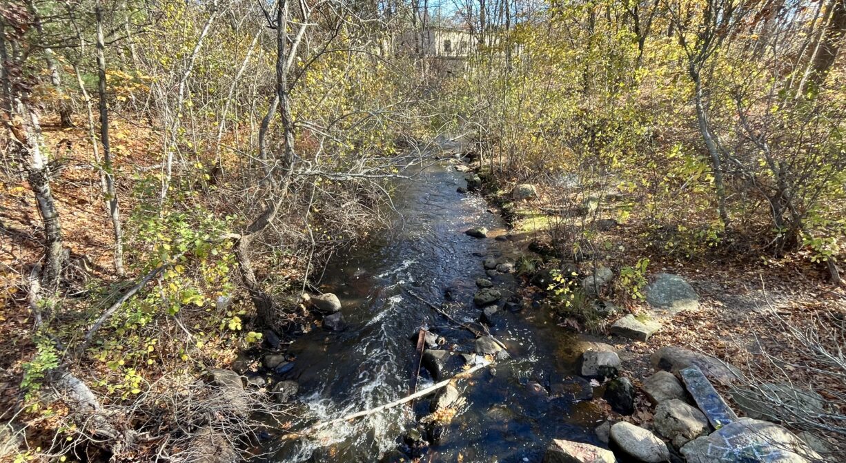
The 1/3-mile paved walking trail on the Colebrook Boulevard side of the pond is wide and flat — easily accessible for strollers and wheelchairs. The 0.3-mile nature trail on the VFW side of the pond begins with a wooden footbridge extends through a light forest. Relatively narrow, it provides beautiful views of the pond. A side trail over a dam at the eastern end of the pond links to Colebrook Boulevard. The two trails create a pleasant loop.
Habitats and Wildlife
The nature trail on the VFW side of the property extends through a forest of oak, cherry, maple, pine and birch trees.With a pond on one side and an impounded section of the Shumatuscacant River on the other, the Colebrook Boulevard walking trail offers numerous views of the water. As is common with municipal parks, the park is mostly open and grassy, but stands of birch, oak and pine line the walkway, providing some shade. There is also a large glacial erratic boulder. Some of the fish observed here include brown trout, pickerel, sunfish, largemouth bass, bream/bluegill, perch and brook trout. Mass Wildlife stocks the river with rainbow trout.
The Shumatuscacant River flows for 8.8 miles through Abington and Whitman. In Hanson’s Poor Meadow Brook Conservation Area, it joins with Poor Meadow Brook. The stream continues to Robbins Pond in East Bridgewater, where it empties into the Satucket River, part of the Taunton River watershed. The word “Schumatuscacant” has been translated from the Algonquin as “beaver stream with the stepping-over place.” It originally referred to a specific spot on the Satucket Path where the river could be crossed easily. A similar word, “Schumacastcacut,” has been translated as “beaver stream always dependable.”

Historic Site: No
Park: Yes
Beach: No
Boat Launch: No
Lifeguards: No
Size: 25 acres
Hours: Dawn to Dusk
Parking: Ample on-site parking at 100 Essex Street. Limited parking also available outside the trail gates on both ends of Colebrook Blvd.
Cost: Free
Trail Difficulty: Easy
Facilities:
Benches, picnic area, trash receptacles, footbridge. Geocache location.
Dogs: Dogs must remain on leash. Always clean up after your dog!
Boat Ramp: No
ADA Access: Yes
Scenic Views: Yes
Waterbody/Watershed: Shumatuscacant River (Taunton River watershed)