
Bay Circuit Trail, 199 Crooker Pl, Hanson, MA 02341, USA
Hanson Conservation: (781) 294-4119
https://hike.hanson-ma.gov/indian-crossway.html
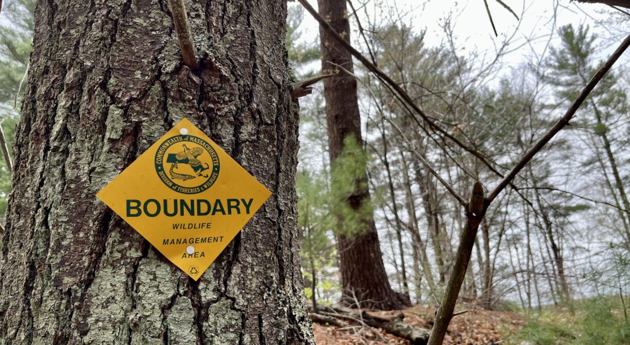
Owned By: Town of Hanson
Indian Crossway Conservation Area in Hanson features a 1-mile trail that extends through the woods to the edge of the Great Cedar Swamp, and into the northern part of the Burrage Pond Wildlife Management Area. Suitable for horses, it is part of the Bay Circuit Trail.
HUNTING: Hunting is allowed, in season, by licensed persons in compliance with Massachusetts law. Please be sure to understand state and local hunting guidelines before proceeding. Non-hunters, be mindful of hunting seasons, and wear bright orange if you’re entering the property during those times. Hunting is not permitted on Sundays.
Features
This land is within the region of the Massachusett (or Massachuseuk) Native American tribe. The Mattakeeset band of the Massachusett lived for thousands of years in the North River watershed. Their village included most of today’s Pembroke and Hanson.
The Mattakeeset used this trail to travel between the North River watershed and the Taunton River watershed. It originally extended from today’s Indian Head Pond (Main Street, Hanson) to Crooker Place, through the great Cedar Swamp (today’s Burrage Pond Wildlife Management Area), through today’s Smith-Nawazelski Conservation Area (Elm Street, Hanson) to East Bridgewater and the Taunton River watershed.
To learn more about local Native American tribes, we encourage you to interact with their members. The Massachusett tribe at Ponkapoag and the Mattakeeset band of the Massachusett share information on their websites.
The Hanson Rod & Gun Club does not directly abut this property, but it is not far away as the crow flies. Visitors may sometimes hear activity from the shooting range.
Trail Description
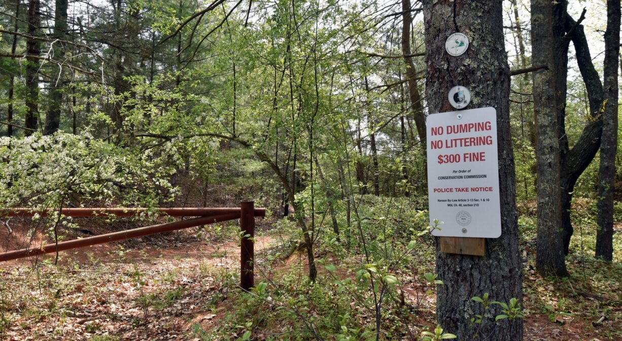
To park: Toward the end of Crooker Place, cross over the railroad tracks and immediately look for a small parking area on the left. Please be respectful of adjacent private property.
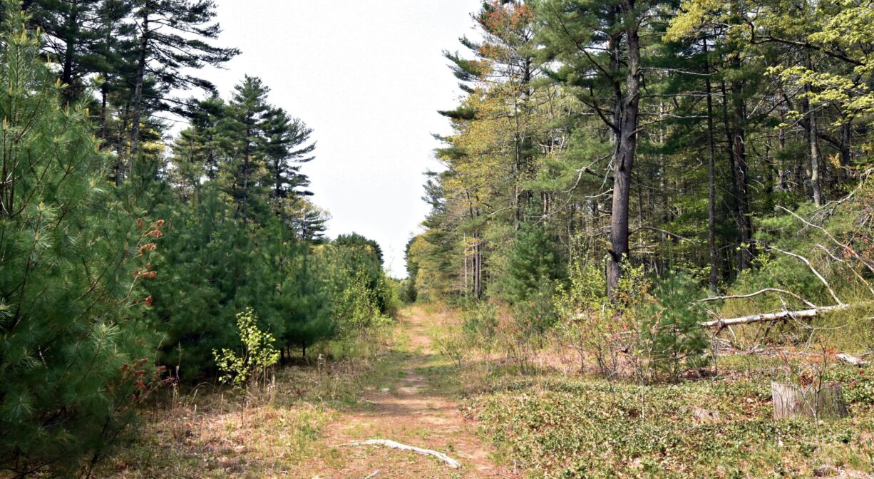
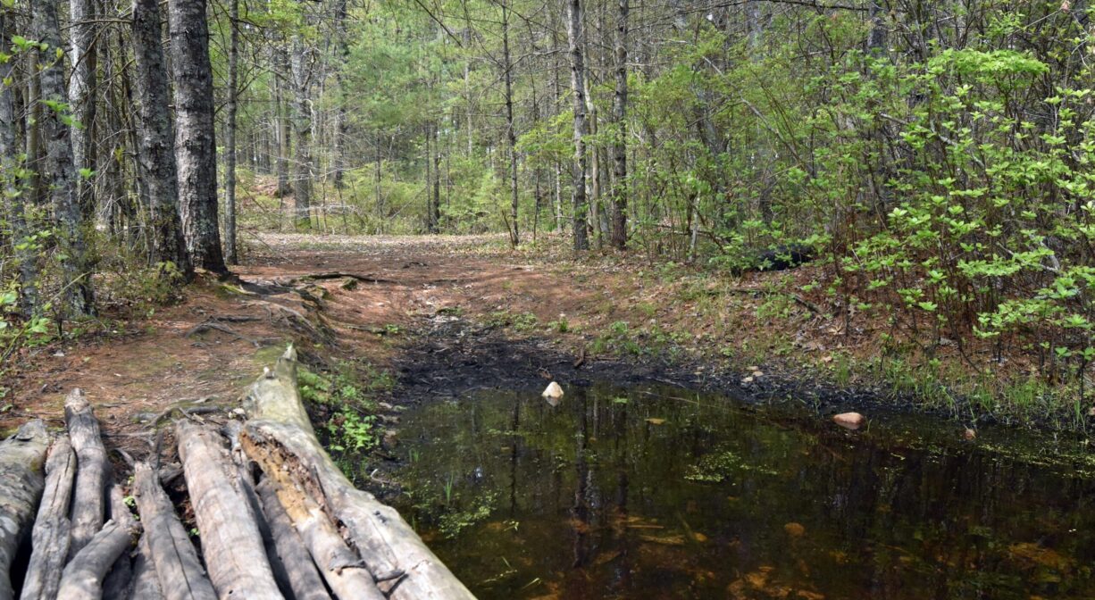
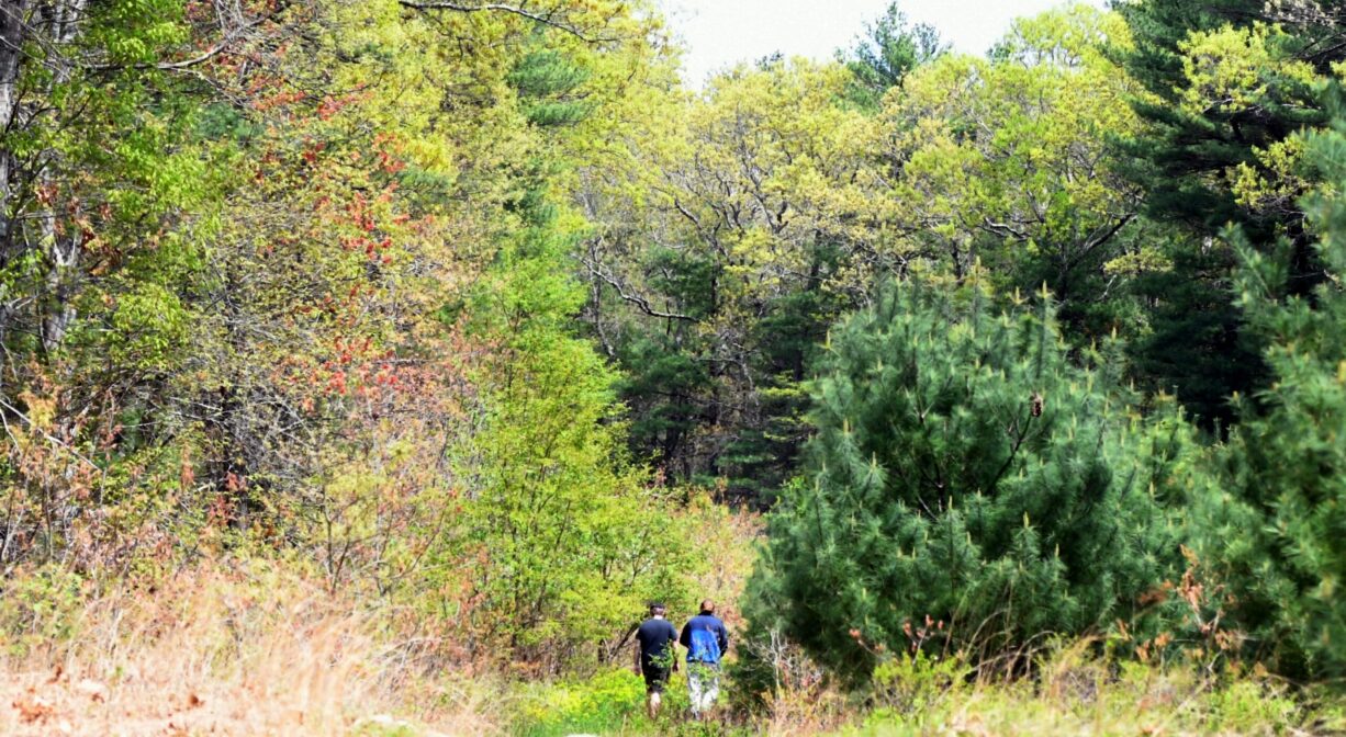
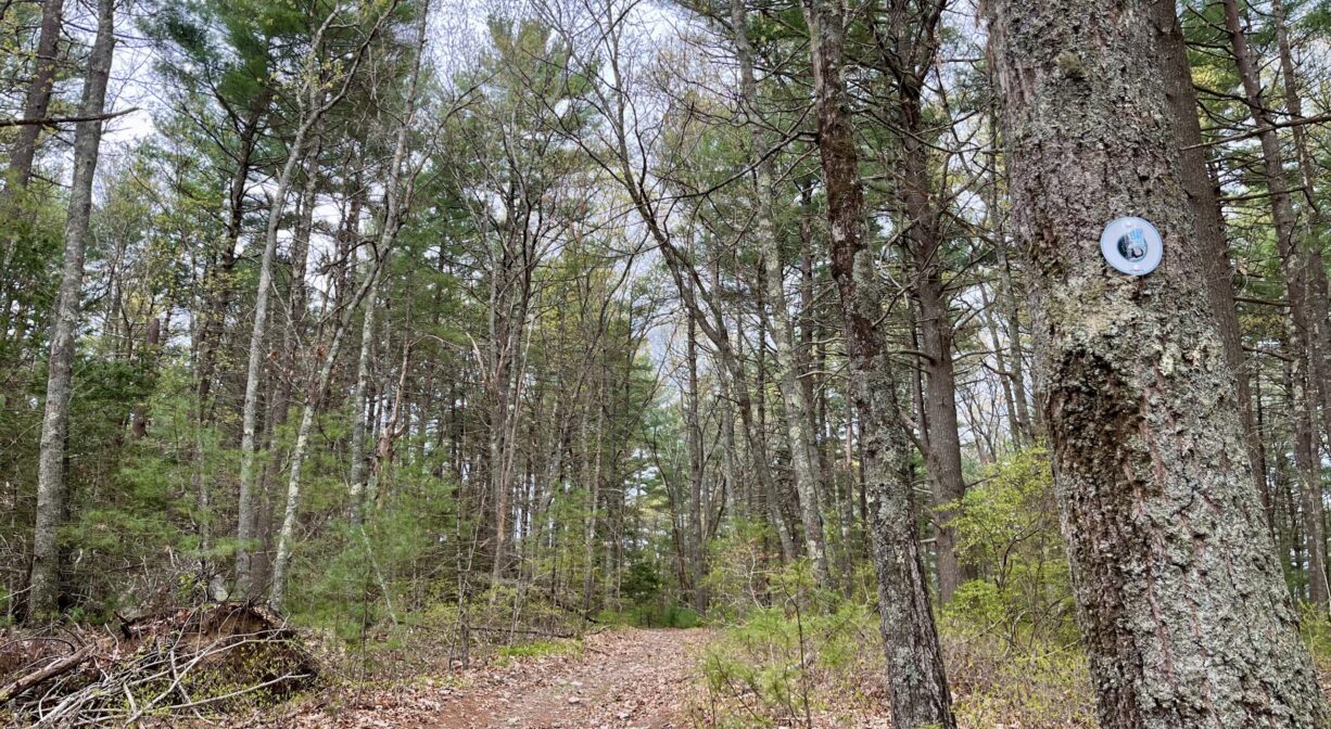
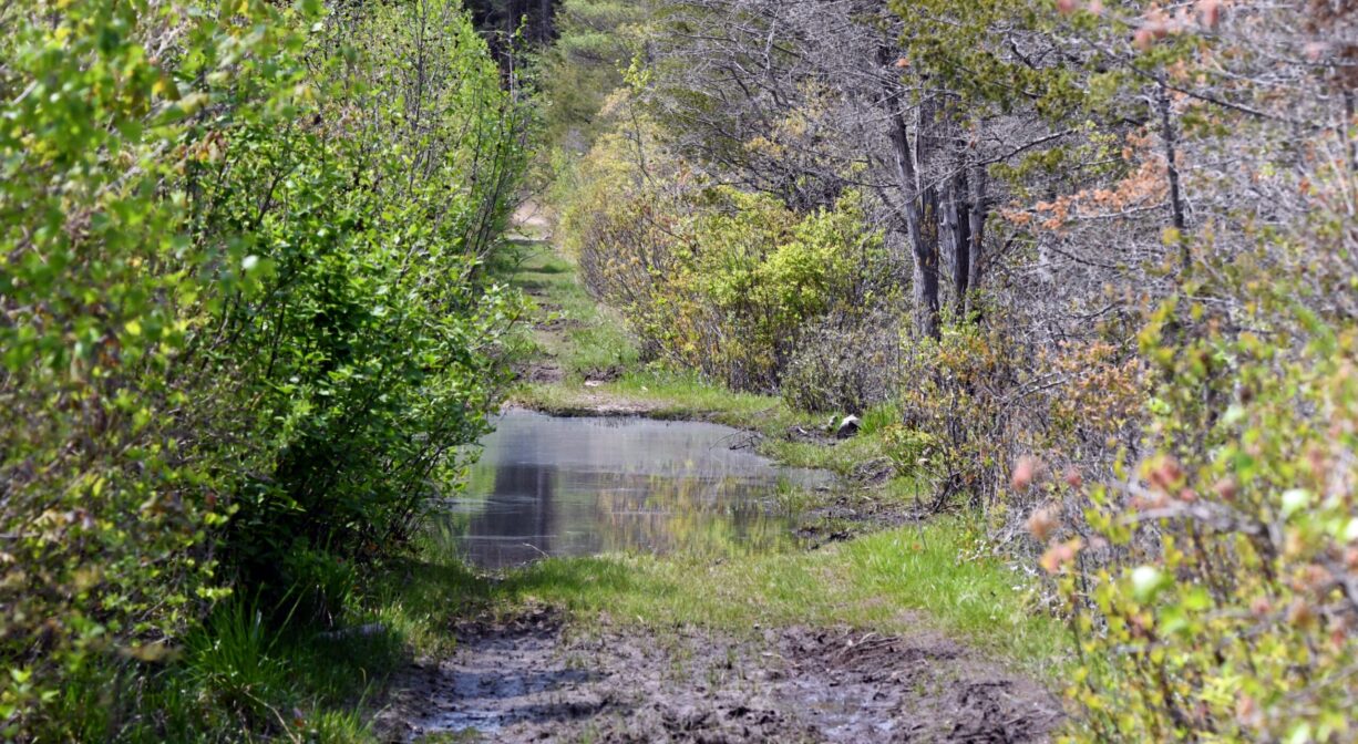
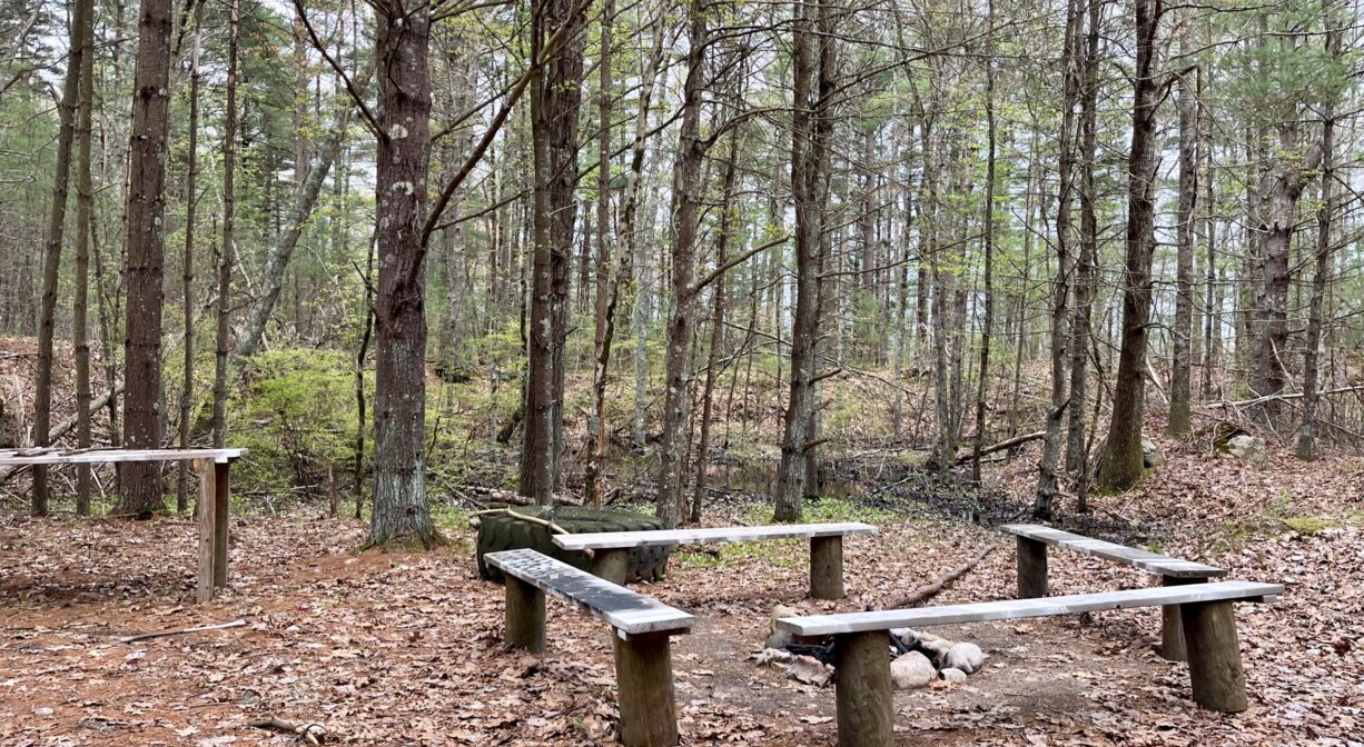
To hike: Look for the fire road gate and the informational kiosk. This is where the trail begins. It is blazed with white Bay Circuit Trail markers. Continue along this trail through a meadow and some woods. After a stream crossing and about a half mile of trail, you’ll find a loop that extends for another half mile, with a small seating area, plus views of wetlands on both sides.
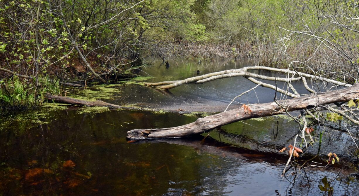
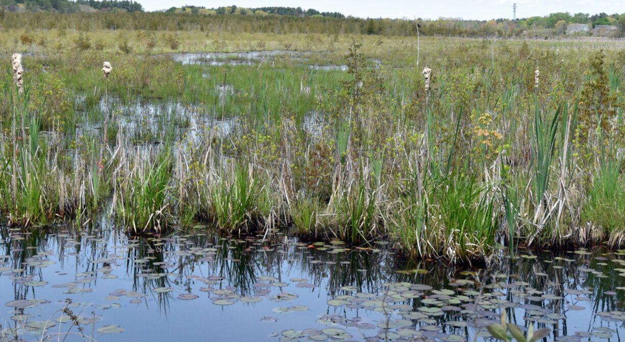
This is also where the trail links to the Burrage Pond Wildlife Management Area. Continue straight to enjoy views of both the Cedar Swamp and Burrage Pond Reservoirs. Some sections are seasonally wet. There are various spur trails and alternate paths, but you can follow the white Bay Circuit Trail markers for the most direct route to the Elm Street (Hanson) entrance to Burrage and another parking area. The total mileage, depending on exact route, is about 2 miles from Crooker Place, around the loop, and through the Burrage Pond WMA to Elm Street.
Habitats and Wildlife
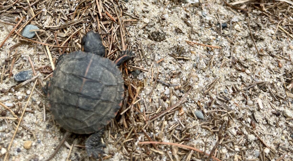
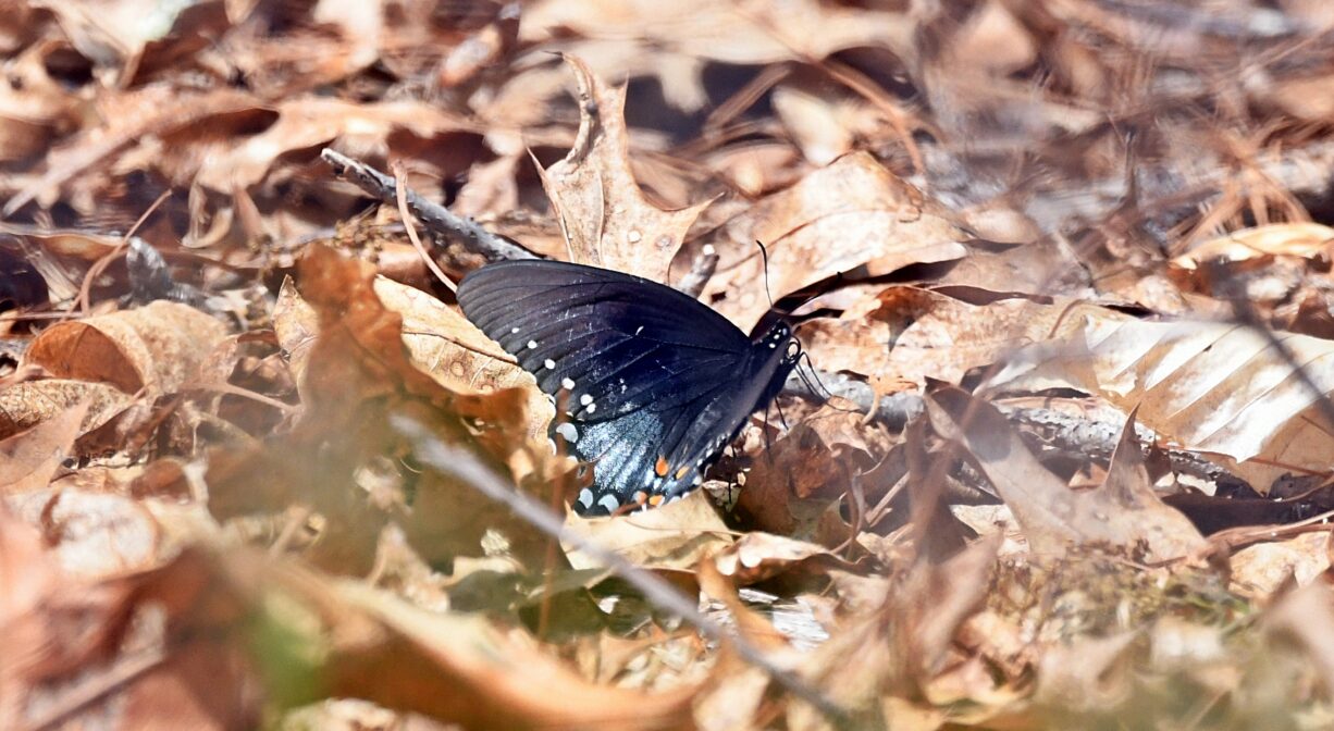
The woods at the beginning of the trail are primarily pine and oak, with some holly, hemlock, beech and birch. When you cross into the Burrage Pond Wildlife Management Area, you’ll follow a trail that extends between two ponds, bordered by freshwater wetlands. In this section, you’ll see an occasional cedar tree. It’s hard to imagine, but cedar was so prolific here in the 1700s and 1800s that the area was routinely logged to harvest it. Later, much of the area was converted to cranberry bog (some still remains). You’ll see evidence of this in the paths and roadways surrounding the wetlands, as well as some drainage structures and irrigation canals.
This property is part of the Satucket River watershed. When the only natural outlet from Monponsett Pond, known as Stump Brook or Herring Brook, was dammed for water power, Stump Pond was created. Stump Brook flows southwest through the southern portion of the property, to Robbins Pond in Halifax, the source of the Satucket River. The Satucket is a significant headwater tributary to the Taunton River.


Historic Site: No
Park: No
Beach: No
Boat Launch: No
Lifeguards: No
Size: 1.1 mile trail
Hours: Dawn to Dusk
Parking: Limited on-site parking (4 vehicles) toward the end of Crooker Place. Look for the parking area on the left immediately after the railroad tracks.
Cost: Free
Trail Difficulty: Easy, Medium
Facilities:
Informational kiosk. Geocache location.
Dogs: Dogs must remain on leash. Always clean up after your dog!
Boat Ramp: No
ADA Access: No
Scenic Views: Yes
Waterbody/Watershed: Stump Brook/Satucket River (Taunton River watershed)