
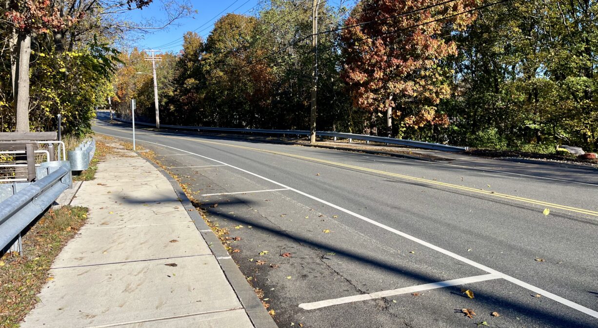
Middle St @ Elm St, Braintree, MA 02184, USA
Town of Braintree: 781-794-8090
Owned By: Town of Braintree
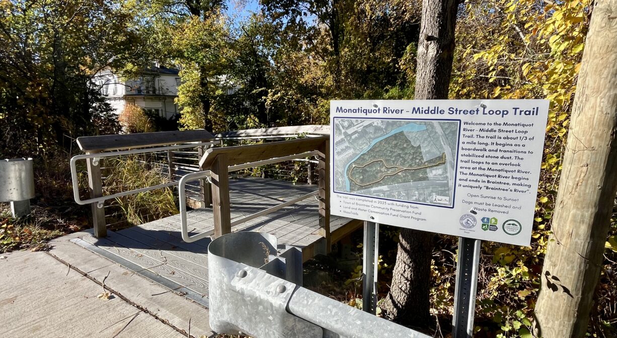
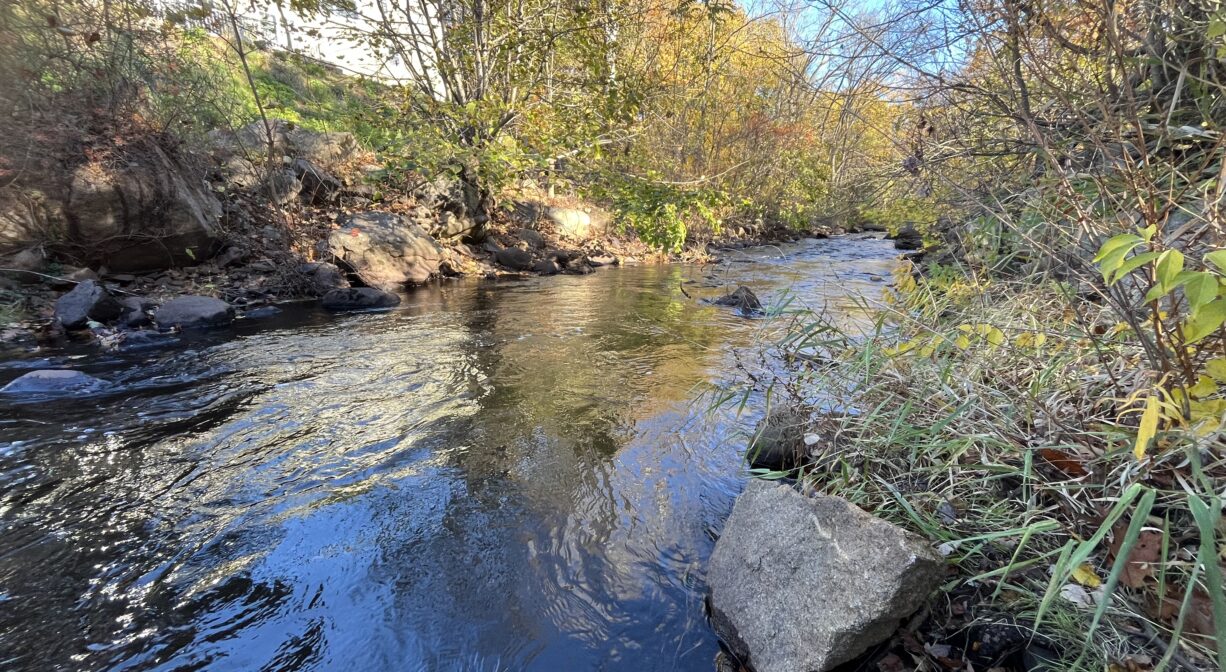
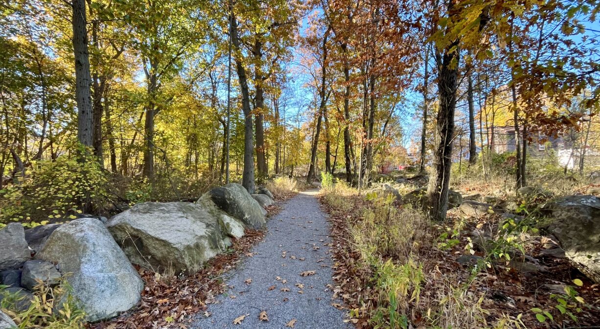
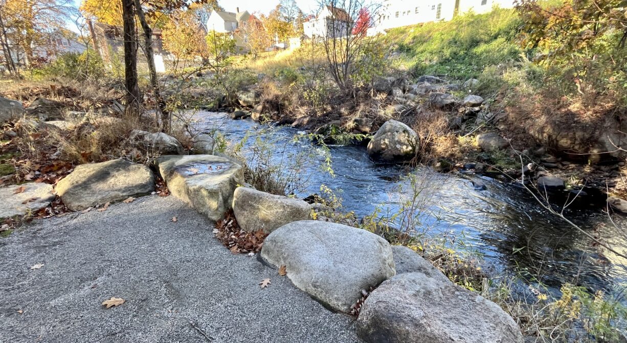
Located on Middle Street in Braintree, this 6-acre property features a fully-accessible 0.3-mile loop trail with beautiful views of the Monatiquot River.
Hunting is not allowed on this property.
Features
This property was acquired by the Town of Braintree in 2018, to provide public access to the Monatiquot River.
This land is within the region of the Massachusett (or Massachuseuk). To learn more about local Native American tribes, we encourage you to interact with their members. The Massachusett tribe at Ponkapoag shares information on its website.
Trail Description
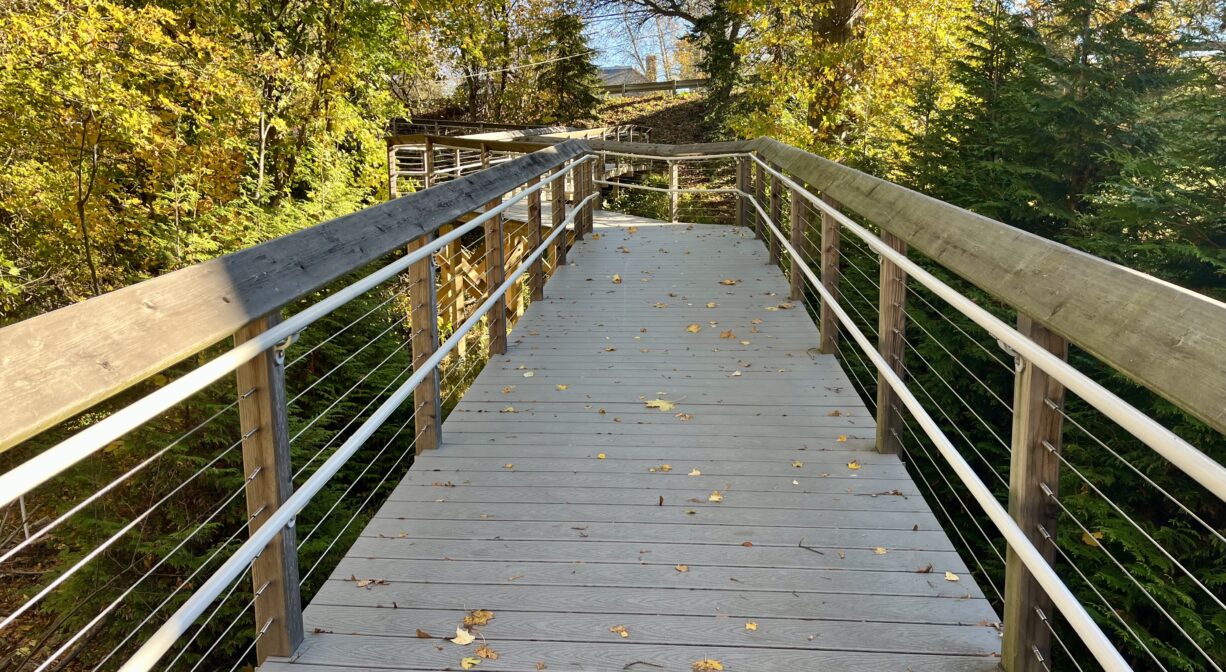
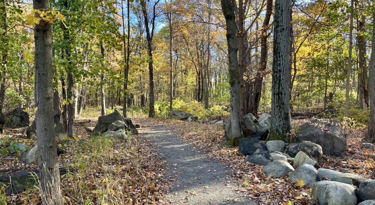
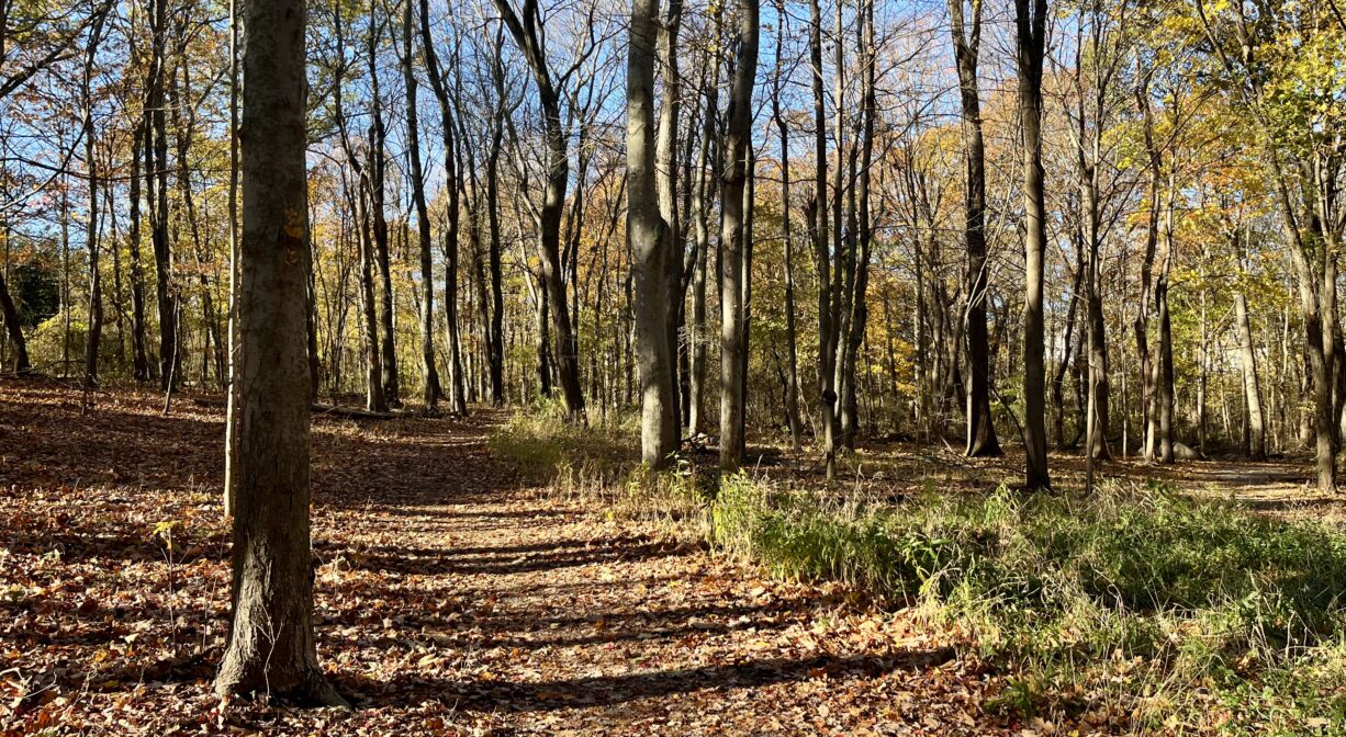
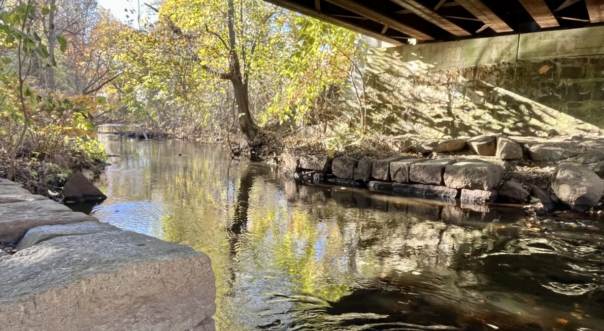
The trail begins at Middle Street. Follow the long ramp down the hillside to the crushed stone trail, which is relatively flat. The loop itself extends for 0.23 miles through an open woodland dotted with glacial erratic boulders, and offers views of the Monatiquot River in 2 spots. In addition, you can follow a short side trail for a better view of a railroad bridge that spans the river. Six QR codes posted along the trail provide access to additional information about the property. Total trail distance is 0.3 miles.
Access to the trail involves a long ramp with a moderate slope. This could present challenges for some visitors.
Habitats and Wildlife
The forest here is a mix of hardwood trees, including maple, oak, black cherry, shagbark hickory and sycamore. There is an abundance of invasive Japanese Knotweed. To avoid exposure to poison ivy, we recommend that you remain on the trail.
If you’re visiting in the mid-to-late spring, look for herring swimming upstream in the river. Thanks to the 2023 removal of the Armstrong and Ames Dams upstream, and the installation of a new fish ladder at the dam site, for the first time in more than 200 years, herring and other other migratory fish are able to swim upstream to their historic spawning grounds at Great Pond!
The Monatiquot River rises in Braintree, at the confluence of the Farm and Cochato Rivers, within the Braintree Municipal Golf Course. It flows northeast for 4.9 miles before merging with Smelt Brook to form the Fore River. The Fore River serves as the boundary between the towns of Weymouth and Braintree. It flows for about 3 miles, into Quincy, where it meets Town River, and then flows for another 2 miles into Hingham Bay. In its final few miles, the Fore River is nearly a mile wide in some places. We encourage you to follow and support the Fore River Watershed Association.
Historic Site: No
Park: No
Beach: No
Boat Launch: No
Lifeguards: No
Size: 6 acres
Hours: Dawn to Dusk
Parking: Roadside parking for 6 vehicles at 41 Middle Street.
Cost: Free
Trail Difficulty: Easy, Medium
Facilities:
Interpretive signage.
Dogs: Dogs must remain on leash. Always clean up after your dog!
Boat Ramp: No
ADA Access: Yes
Scenic Views: Yes
Waterbody/Watershed: Monatiquot River (Fore River watershed)