
Landing Rd, Kingston, MA 02364, USA
Town of Kingston: 781-585-0500
https://sites.google.com/view/kingstonconservation/mullikens-landing
Owned By: Town of Kingston, MA DCR
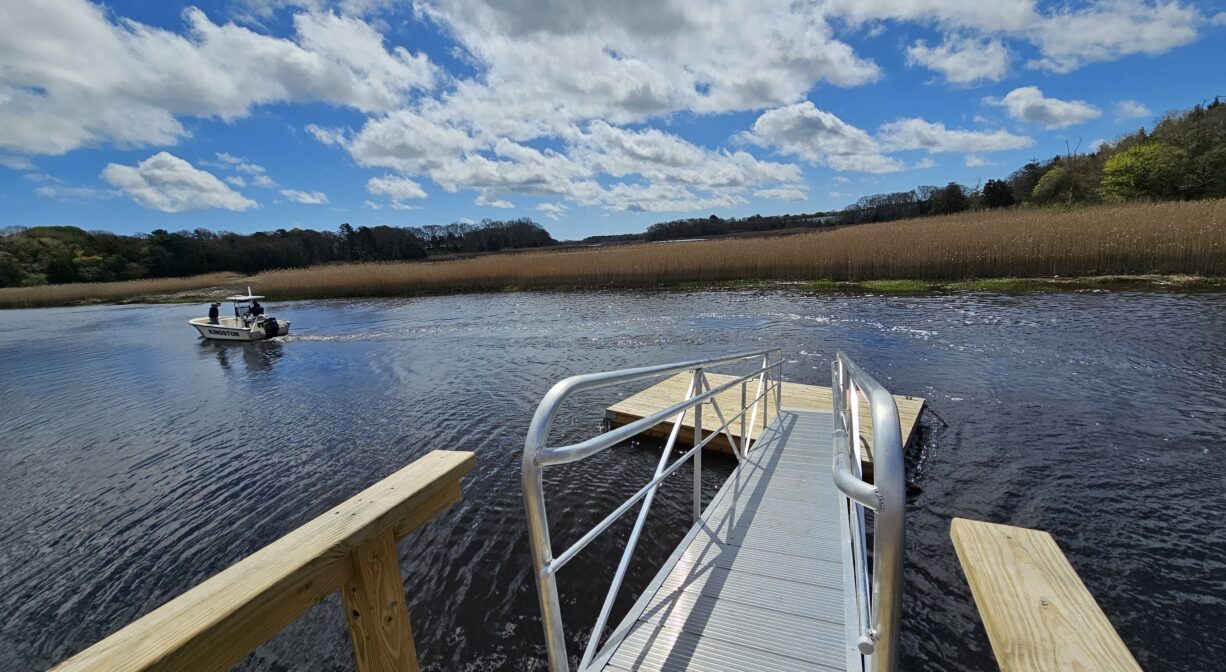
This state- and town-owned landing on the Jones River provides access for canoes, kayaks and “car-top carry”-size boats. A short (0.1 mile) trail and boardwalk lead through the marsh to the river, where there is a seasonal ramp and float.
Hunting is not allowed on this property.
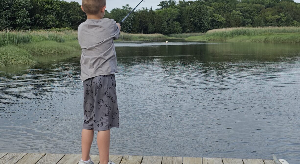
FISHING ADVISORY: It’s important to know that some of our freshwater fisheries are contaminated with mercury, PFAS and/or other concerning substances. The Massachusetts Department of Public Health maintains an online database with up-to-date advisories regarding fish consumption, sorted by location. We recommend you consult this valuable resource when planning a fishing excursion.
Features
Dedicated in 2002, and named in honor of a longtime Kingston resident, Robert A. Mulliken, this small property offers a close-up view of the Jones River and the Route 3 bridge that passes over it. The property was renovated in 2022-23, adding a boardwalk, ramp and float, along with an ADA-compliant stone dust trail. All of this work was funded by the MassTrails Grant, Community Preservation funds, and the Elizabeth B. Sampson Fund, along with generous private donations, Conservation Department budget funds, and volunteer labor.
This land is within the region of the Wampanoag. The Patuxet Wampanoag made their home in the area now known as Duxbury, Kingston and Plymouth. Numerous artifacts have been found throughout the region surrounding the Jones River. To learn more about local Native American tribes, we encourage you to interact with their members. The Mashpee Wampanoag and the Herring Pond Wampanoag share information on their websites.
Trail Description
An ADA-compliant stone dust trail, marked with a memorial boulder, extends from the parking area to the boardwalk, which leads directly to the river.
You can paddle in either direction from this spot. Kingston Bay is about 1.4 miles downstream, and Elm Street is about 1.4 mile upstream. The best paddling here occurs around high tide. A little bit downstream, the Kingston Town Pier, also known as Ah-De-Nah (“a good place to stay”) on Landing Road, is the access point for larger boats. Also consider Jones River Landing, just upstream, on the other side of the Route 3 bridge.
Habitats and Wildlife
From the parking lot, the trail passes through a very small, shady woodland grove featuring sumac, birch, basswood, cedar and wild grapes. It continues through the salt marsh, across a boardwalk, and down to the Jones River. There are several invasive species in the woodland, including Asiatic bittersweet, Asian wisteria, and multiflora rose. Note the large American basswood trees covered with invasive vines.
The Jones River finds it source at Silver Lake, and extends for 7.5 miles through the town of Kingston, emptying into the Atlantic at Kingston Bay. We encourage you to follow and support the Jones River Watershed Association.


Historic Site: No
Park: No
Beach: No
Boat Launch: Yes
Lifeguards: No
Size: 2.5 acres
Hours: Dawn to Dusk
Parking: Small parking lot on Landing Road at the intersection with River Road.
Cost: Free
Trail Difficulty: Easy
Facilities:
Informational kiosk, boardwalk, dock suitable for launching canoes and kayaks.
Dogs: Dogs must remain on leash. Always clean up after your dog!
Boat Ramp: No
ADA Access: Yes
Scenic Views: Yes
Waterbody/Watershed: Jones River