
218 Gannett Rd, Scituate, MA 02066, USA
Owned By: Privately owned, but open to the public.
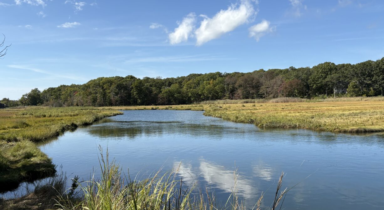
The Musquashicut Brook Launch is located on private property but open to the public. Located on Gannett Road in Scituate, it offers access to the lower reaches of Musquashicut Brook, as well as the Gulf River. Use at your own risk.
FISHING ADVISORY: It’s important to know that some of our freshwater fisheries are contaminated with mercury, PFAS and/or other concerning substances. The Massachusetts Department of Public Health maintains an online database with up-to-date advisories regarding fish consumption, sorted by location. We recommend you consult this valuable resource when planning a fishing excursion.
Features
The Gulf Association, established in 1961, is the primary steward of this beautiful tidal estuary. According to information posted on site, “It has been active in identifying and restricting sources of pollution on the marsh, in educating citizens as to the regulations which govern land and water use on the Gulf and its surrounding highlands, and in encouraging compliance and cooperation to protect this valuable natural resource.” There is an ongoing water quality testing program, performed in conjunction with the Town of Scituate and Cohasset, as well as with Cohasset High School. We encourage you to follow and support The Gulf Association.
This land is within the region of the Massachusett (or Massachuseuk). To learn more about local Native American tribes, we encourage you to interact with their members. The Mattakeeset band of the Massachusett and the Massachusett tribe at Ponkapoag both share information on their websites.
Long before the arrival of European settlers, the Massachusett maintained a village on the eastern shore of the river, as well as in Scituate Harbor. According to John F. Hartshorne’s “A History of the Gulf River,” the river was known as “Conyhassit,” and the word “Musquashicut” is understood to describe a red bush that grew in the area. Beginning around 1640, the Conihasset River (Gulf River) and Cohasset Harbor served as boundary line between the Plymouth and Massachusetts Bay colonies.
Trail Description
No trails, but launch you canoe or kayak here to access the lower reaches of Musquashicut Brook, as well as the Gulf River. You can paddle downstream, but a portage would be required to paddle upstream, as there is no access under the Gannett Road bridge.
Habitats and Wildlife
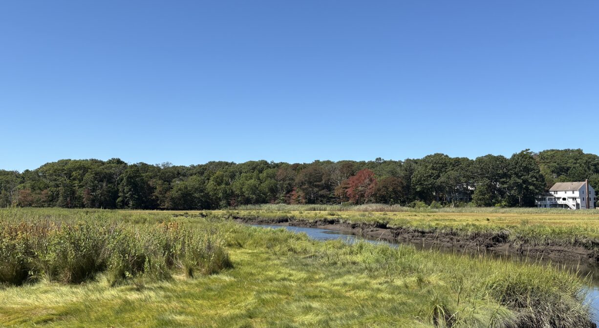
Musquashicut Brook joins with Bound Brook in North Scituate and flows into the Gulf River. The Gulf River empties into the Atlantic Ocean at Cohasset Harbor. We encourage you to follow and support The Gulf Association.
Upstream, the 70-acre Musquashicut Pond is fed by freshwater streams, as well as tidal saltwater from Massachusetts Bay. It is flushed once per month when the Town of Scituate opens the tide gate, allowing 75% of the water to recirculate. Musquashicut Pond is one of the Great Ponds of Massachusetts. Defined as a natural body of water larger than 10 acres, a Great Pond is held in trust by the state for public use.
According to the Town of Scituate’s 2018 Open Space and Recreation Plan, Musquashicut Pond “acts as a spectacular ‘migrant corner’ for migrating waterfowl. The pond and the brackish marshes associated with it provide nesting sites and habitat for Common Terns, Osprey, Kingfisher, and a variety of shore birds and waterfowl.”


Historic Site: No
Park: No
Beach: No
Boat Launch: Yes
Lifeguards: No
Hours: Dawn to Dusk
Parking: Extremely limited roadside parking at 218 Gannett Road, Scituate.
Cost: Free
Facilities:
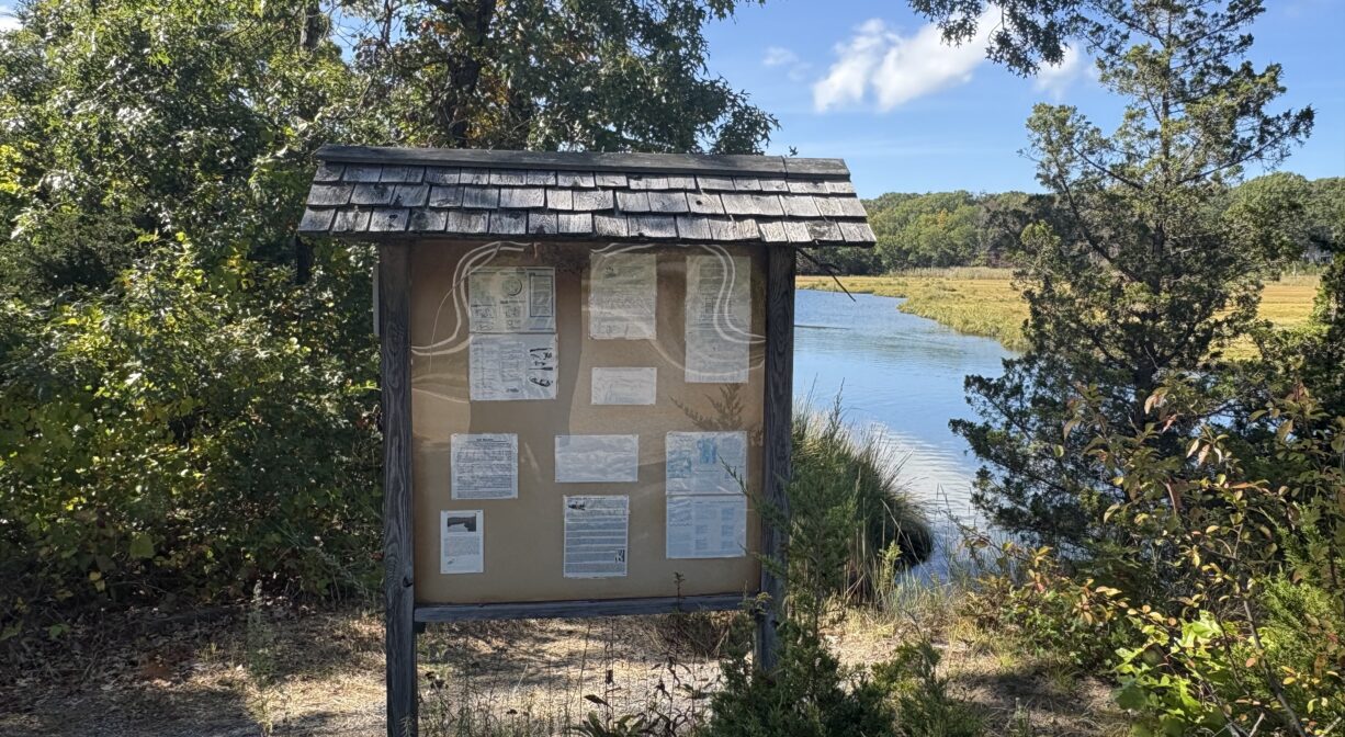
Informational kiosk.
Dogs: Dogs must remain on leash. Always clean up after your dog!
Boat Ramp: No
ADA Access: No
Scenic Views: Yes
Waterbody/Watershed: Musquashicut Brook (Gulf River watershed)