
Plymouth Parks & Forestry: 508-830-4162, ext. 12116
Owned By: Town of Plymouth
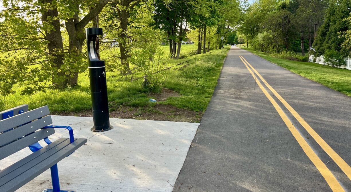
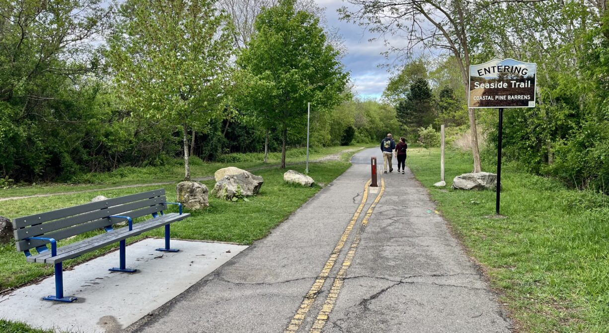
Also known as the Seaside Rail Trail and the Grace Trail, the 1.2-mile all-access North Plymouth Rail Trail connects Nelson Memorial Park to the Cordage Park commercial area. Extending along the shoreline, it offers spectacular views of a salt marsh and the ocean, as well as Plymouth Beach and Kingston Bay. The Plymouth portion is paved, and the Kingston section includes pavement, crushed stone, and boardwalk. Stroller- and wheelchair-friendly.
Features
Beginning in 1845, a branch the Old Colony Railroad extended 36.8 miles from Boston to Plymouth, passing through Quincy, Braintree, Weymouth, Abington, Whitman, Hanson, Halifax, and Kingston. Much of this route is now the MBTA Commuter Rail. A portion of the final section, from Cordage Park in North Plymouth to Nelson Park — just north of Plymouth’s harbor and downtown — was converted to rail trail in the 2010s, funded partially by the Community Preservation Act.
For the first 30 years of the Old Colony Railroad, the locomotives were named, including (on this branch) Mayflower, Governor Bradford, Governor Carver and Myles Standish. The New York, New Haven and Hartford Railroad took over control of the Old Colony Railroad in 1893, with a 99-year lease. Year-round passenger service continued more or less until 1959, when the Southeast Expressway was completed. Seasonal service continued for a few more years. The MBTA commenced its commuter rail service on this line in the 1990s.
This land is within the region of the Patuxet, members of the Wampanoag tribe. To learn more about local Native American tribes, we encourage you to interact with their members. The Herring Pond Wampanoag and the Mashpee Wampanoag share information on their websites.
Trail Description
This approximately 1.2-mile trail is relatively flat. It is mostly paved, but portions of it in Kingston are crushed stone and boardwalk. It is generally navigable for strollers, bicycles and wheelchairs. There is a 0.2-mile side trail in the middle that leads up onto a cliff overlooking the ocean. Also in the middle, the trail directly abuts the Holmes Reservation where you can extend your excursion by walking around the perimeter of the field.
The northern (Cordage Park) end of the trail can be a little confusing. When you arrive at the parking area at Hedge Road, look to the right for Sandri Drive. Turn left onto Sandri and continue through two chainlink fence gates. The trail snakes past a brick warehouse building and then runs in a straight line along the shore. At the end, it makes a sharp turn to the left. A boardwalk leads to the terminus at Cordage Park, where there is additional parking.
Habitats and Wildlife
The trail passes through several different habitats including salt marsh, open field, sandy beach, a bramble-filled thicket, and a cliff overlooking the ocean. Trees growing alongside it include oak, cedar, birch, pitch pine and sumac. The entire trail is located within the watershed of Plymouth Bay/Cape Cod Bay.


Historic Site: No
Park: No
Beach: No
Boat Launch: No
Lifeguards: No
Size: 1.2 mile
Hours: Dawn to Dusk
Parking: Parking available at Nelson Memorial Park, Cordage Park, at the end of Hedge Road, at the Holmes Reservation, and also along Atlantic Ave.
Cost: Free
Trail Difficulty: Easy
Facilities:
Ocasional benches. Pet waste and trash receptacles. Geocache location.
Dogs: Dogs must remain on leash. Please clean up after your pet!
Boat Ramp: No
ADA Access: Yes
Scenic Views: Yes
Waterbody/Watershed: Cape Cod Bay watershed