
Owned By: Town of Hanover
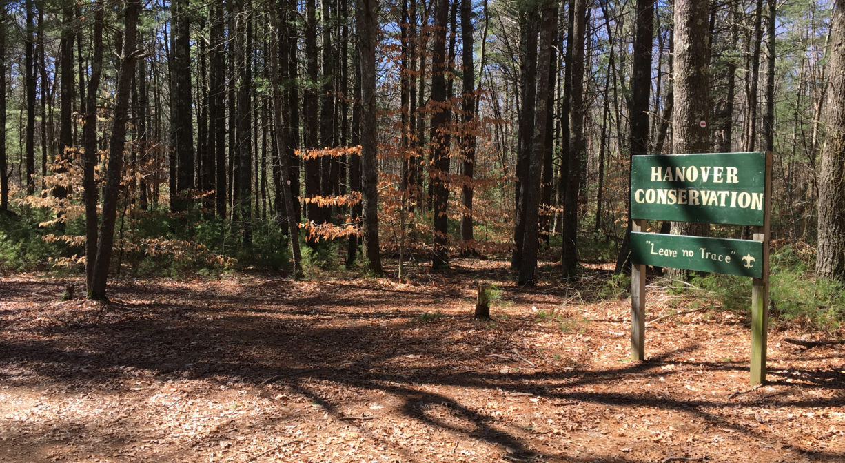
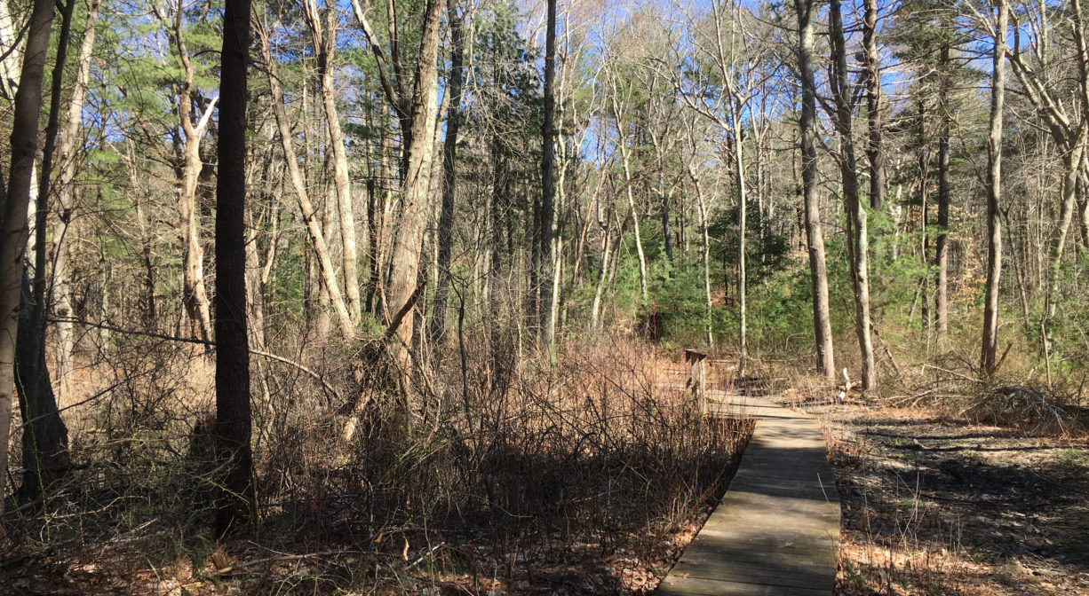
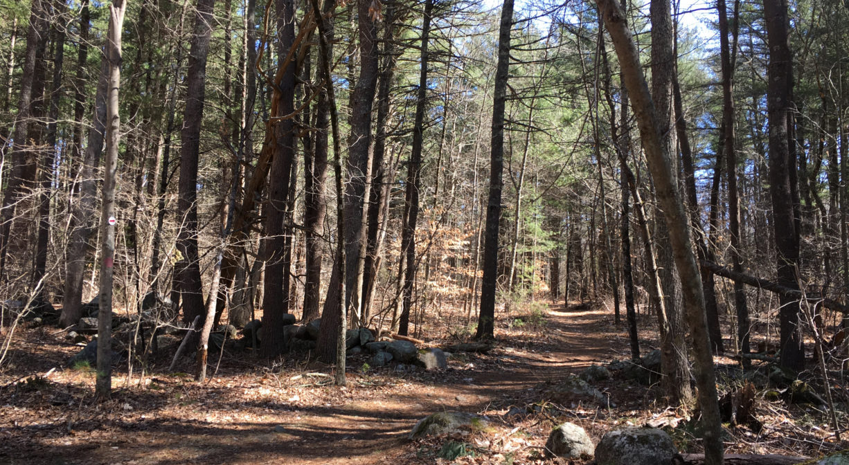
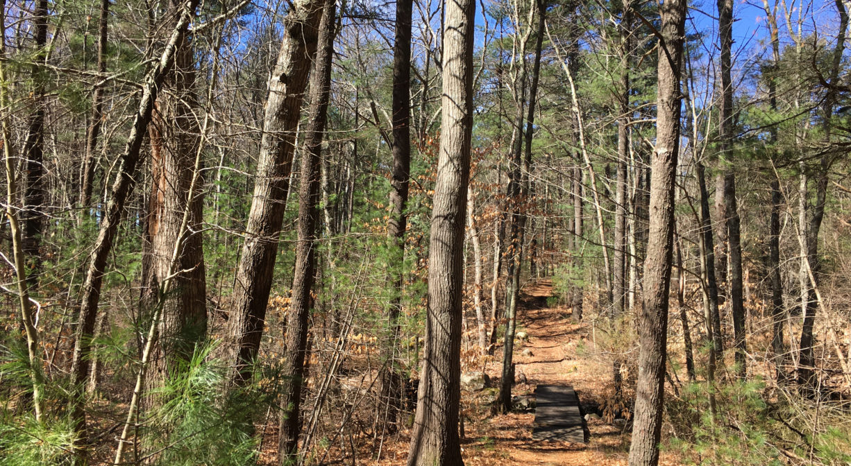
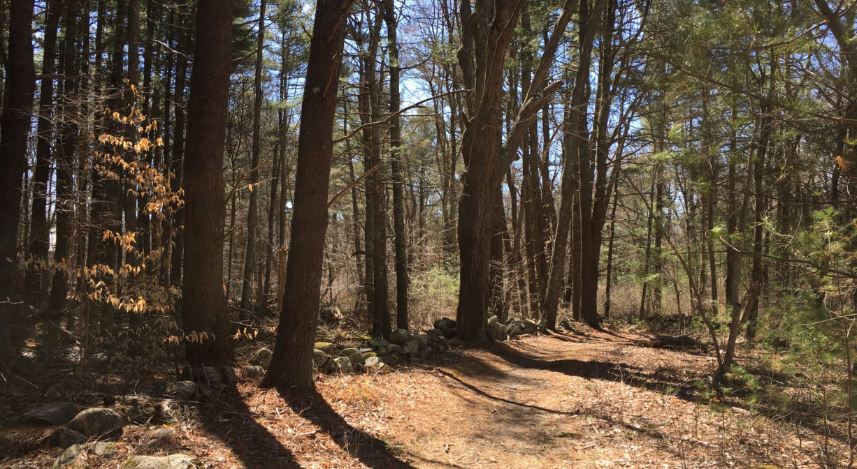
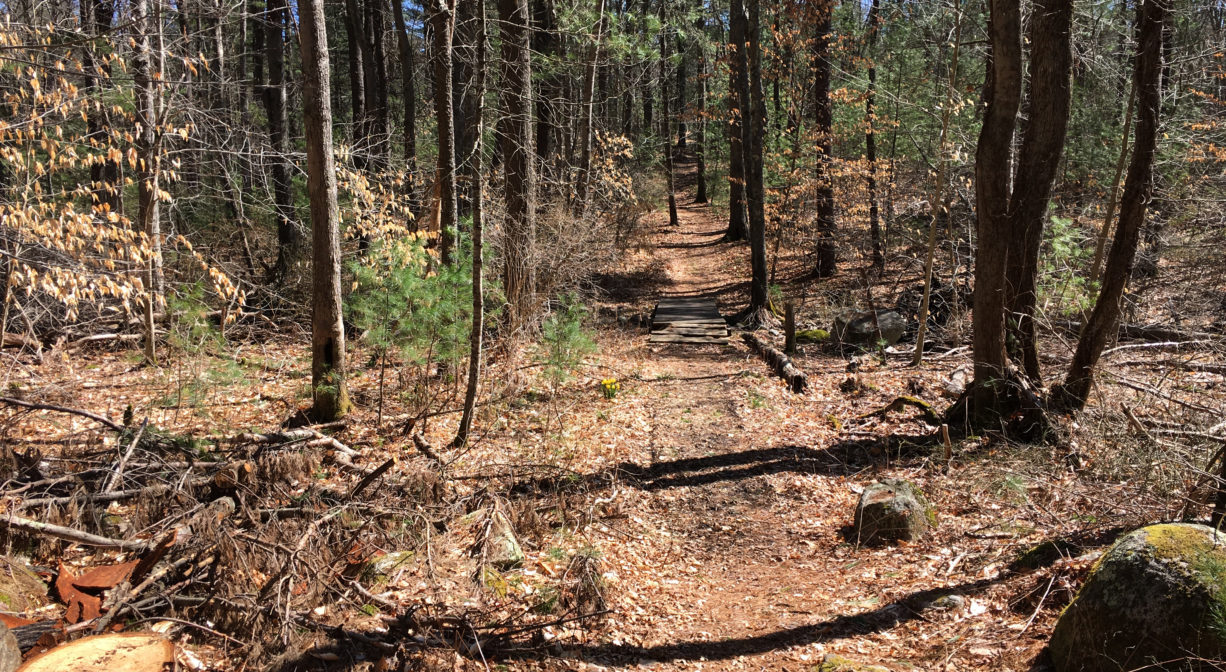
The Morrill Allen Phillips Sanctuary, the Merry Conservation parcel, and the Firehouse Loop trail extend across 55 acres of Hanover Conservation land. The adjoining properties feature 1.6 miles of intersecting, well-marked forest paths plus the occasional boardwalk, footbridge and old stone wall. Stop here for a pleasant walk in the woods!
Hunting is not allowed on this property.
Features
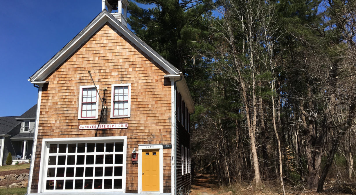
Directly behind the Fire Station Museum is 11 acres of land known as the Merry Property. Trails connect it to the larger Morrill Allen Phillips Wildlife Sanctuary. Stone walls indicate this property’s agricultural past.
According to Barbara Barker’s “Focus on History,” the Phillips family, whose home was on Broadway, constructed Hanover’s first tennis court in this area in the late 1890s. First it was a grass court, situated east to west, and later it was a clay court, oriented north to south.
This land is within the region of the Massachusett (or Massachuseuk). To learn more about local Native American tribes, we encourage you to interact with their members. The Massachusett tribe at Ponkapoag and the Mattakeeset band of the Massachusett share information on their websites.
Trail Description
From the Firehouse Museum, the entrance trail leads across a footbridge to an extended forest loop with several spurs to private properties. Another entrance, with access to the same loop, begins at the end of Alden Road, where you’ll find signage for the Morrill Allen Phillips Sanctuary. The 1.6 miles of trails are mostly wide and easy to navigate. Many are marked with red or green blazes. Some are flat, some are muddy or uneven with tree roots.
Habitats and Wildlife
Look for white tailed deer, coyotes, raccoons, garter snakes, and other creatures common to a pine woodland. There are also some maple, beech and oak trees, and possibly hickory, along with blueberry, sweet pepperbush, and Japanese barberry. A variety of birds call this parcel home.
According to Hanover Conservation, the brook that flows through this property and into the Indian Head River south of Broadway was identified as Iron Mine Brook on an 1848 map. It retained that name going forward … but then lost its name entirely in 1976, when a different brook (formerly known as Trout Brook), a short distance east, took over the name. To this day, the brook on this property bears no name. Both brooks flow into the Indian Head River. This can be cause for confusion, especially when reading history books.
This property is located within the watershed of the Indian Head River. The Indian Head River rises from the Drinkwater River and Factory Pond in West Hanover. It forms the boundary between Hanover and Hanson, and merges with Pembroke’s Herring Brook, a short distance downstream of Ludden’s Ford Park, to form the North River at a spot called The Crotch. The North River flows 12 miles through Pembroke, Hanover, Norwell, Marshfield and Scituate, eventually making its way to Massachusetts Bay and the Atlantic Ocean.

Historic Site: No
Park: No
Beach: No
Boat Launch: No
Lifeguards: No
Size: 55 acres
Hours: Dawn to Dusk
Parking: Access and parking at the Fire Station Museum at 1095 Broadway (6-8 vehicles) and along Alden Road, both in Hanover.
Cost: Free
Trail Difficulty: Easy
Facilities:
Benches, footbridges, bog boards.
Dogs: Dogs must remain on leash. Always clean up after your dog!
Boat Ramp: No
ADA Access: No
Scenic Views: Yes
Waterbody/Watershed: Indian Head River (North River watershed)