
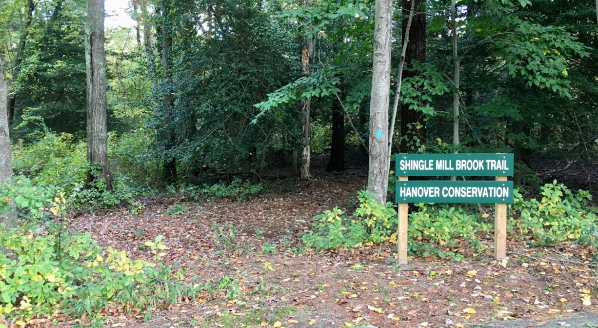
23 Virginia Dr, Hanover, MA 02339, USA
Owned By: Town of Hanover
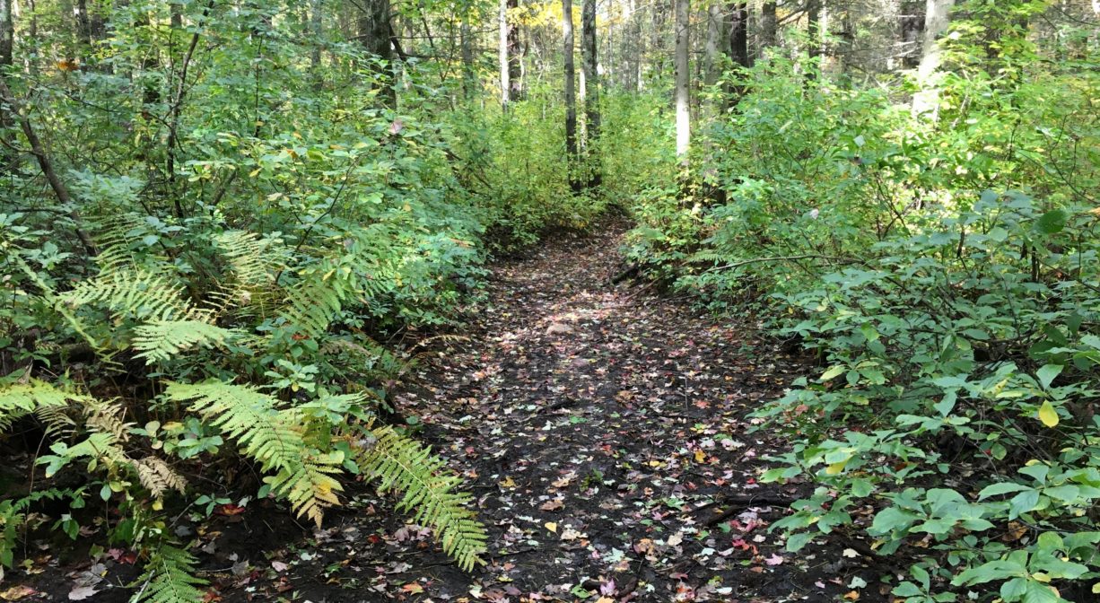
Located in North Hanover, the Shingle Mill Brook Trail is a 0.62-mile out-and-back that extends through woods and red maple swamp. The 10-acre property features two drumlin hills, two footbridges, a beautiful grove of holly, numerous moss-covered boulders, and some spectacular beech trees!
Hunting is not permitted on this property.
Features
According to Briggs’ History of Shipbuilding on North River, there were several mills on Shingle Mill Brook. The first was erected as early as 1723. The third, a sawmill erected by Deacon John Brooks in 1851, produced “from 80,000 to 100,000 feet of inch and half-inch pine boards annually,” as well as pine and oak planks, joist and timber. Briggs describes the mill pond (today’s Shingle Mill Pond) as “one of the most romantic spots in Hanover.” It is also the location of the historic Absalom’s Rock, the largest rock in town.
There was another mill on the same stream, built by Joseph Brooks in 1820 — first a grist mill, and then a shingle mill. In 1889, Albert G. Mann owned a sawmill there.
Farther upstream, where Shingle Mill Brook crosses the junction of Webster and North Streets, there was a grist mill. It was constructed by Benjamin Mann, probably in 1765, “an old-fashioned mill with a great water-wheel, requiring an immense quantity of water to turn it” (Briggs). Later it was owned by his son, Caleb Mann. Benjamin’s great-grandson, Albert G. Mann, owned the water privilege in 1889.
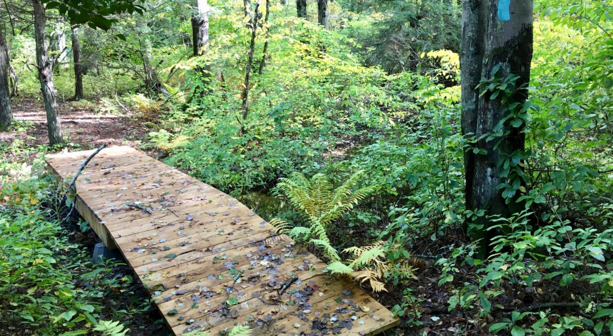
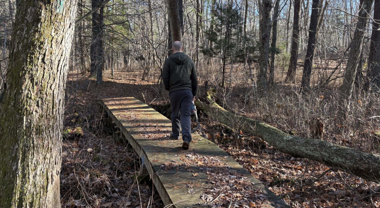
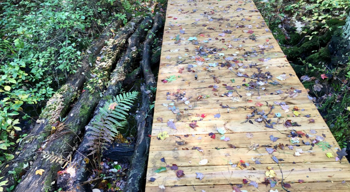
The bridges along the Shingle Mill Brook trail were constructed by Eagle Scout Alex Jasie (c. 2019). In the damp sections of the property, look for bottle dumps — areas where discarded household goods from long ago were probably buried, but are now emerging from the earth.
This land is within the region of the Massachusett (or Massachuseuk). To learn more about local Native American tribes, we encourage you to interact with their members. The Massachusett tribe at Ponkapoag and the Mattakeeset band of the Massachusett share information on their websites.
Trail Description
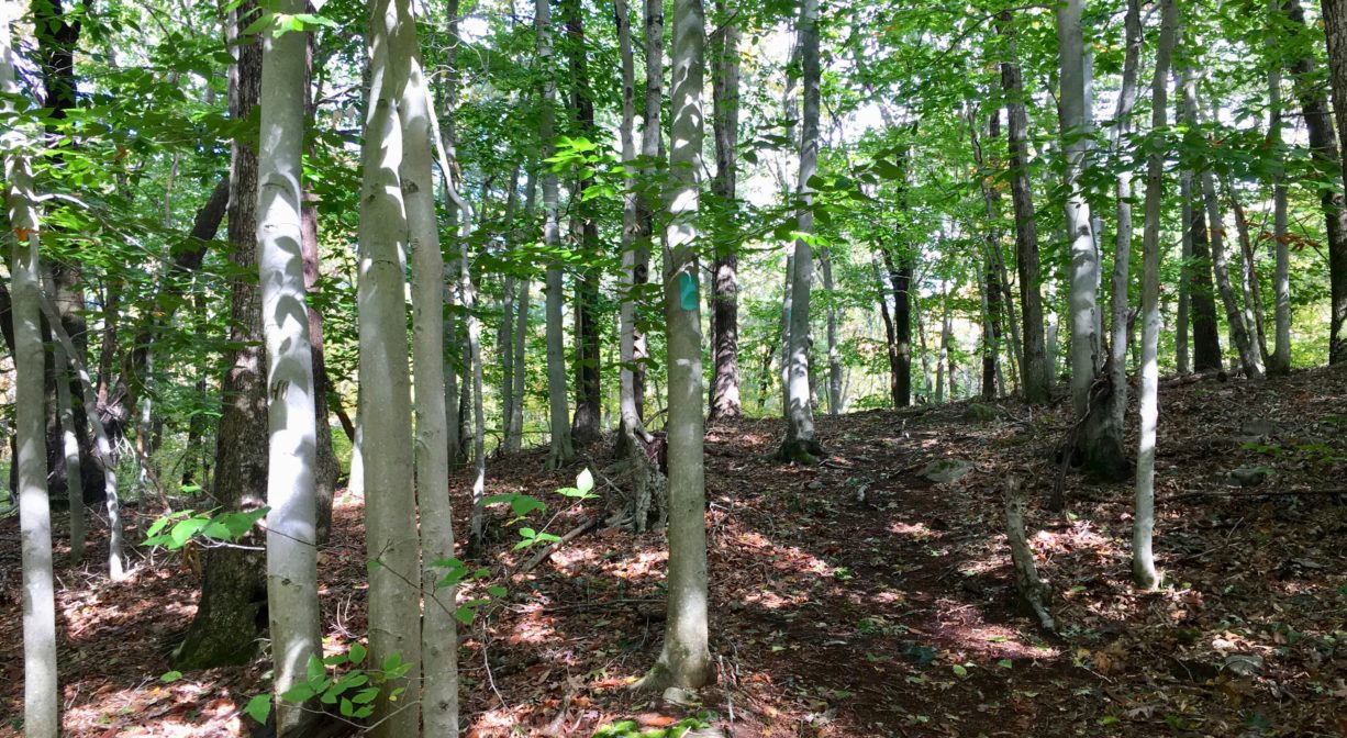
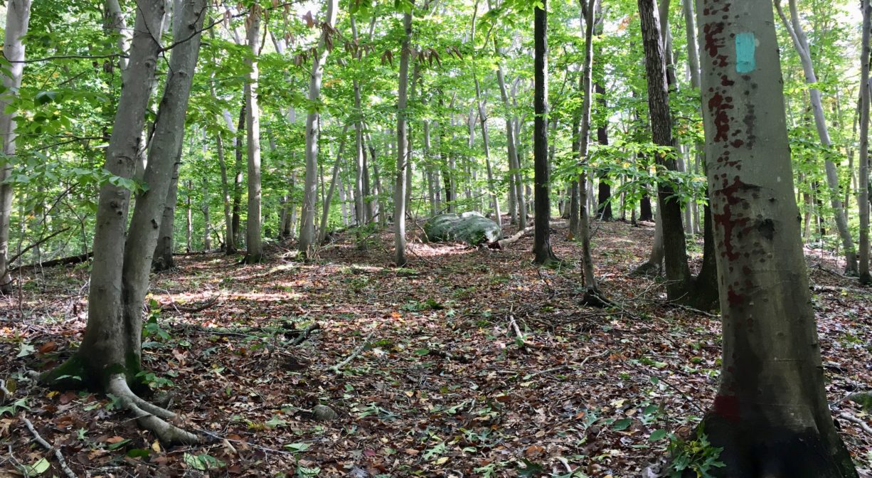
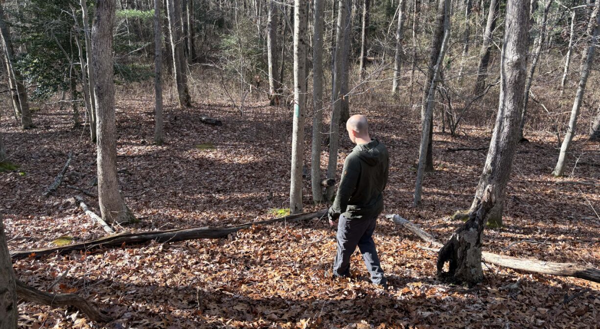
The trail in this property is clearly marked with green blazes for the first 0.2 miles. However, as the trail approaches a drumlin hill and the first of two beech groves, it becomes unmarked for about 0.2 miles. Trail blazes return for the final 0.2 miles of the out-and-back trail.
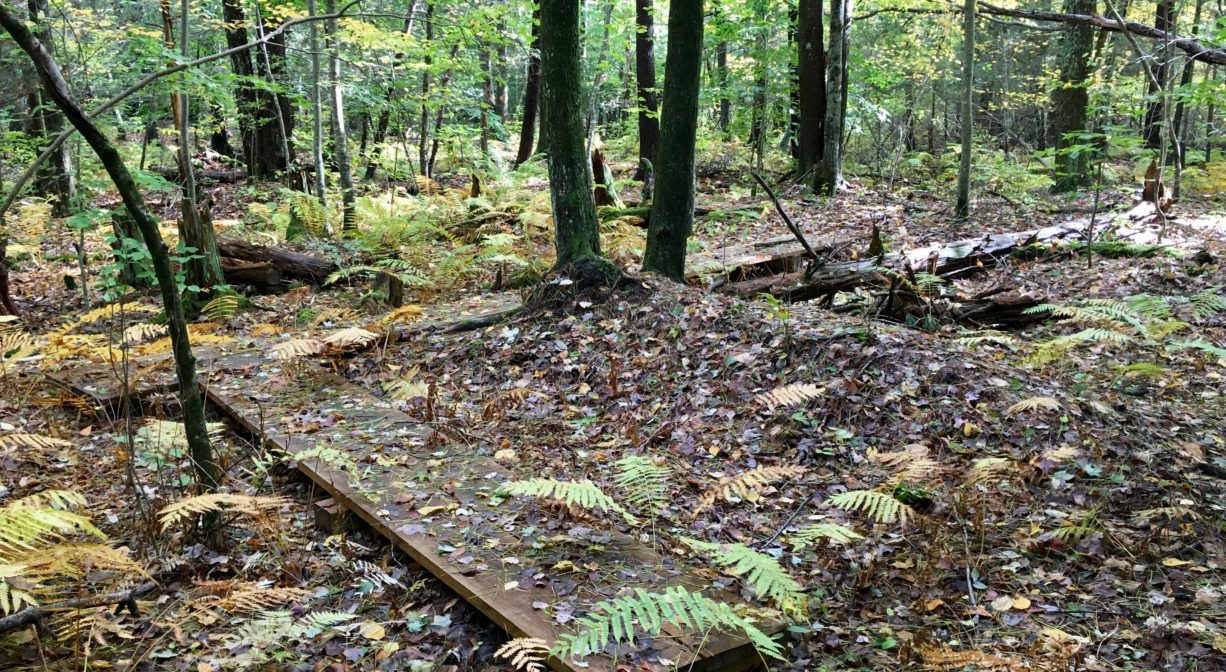
There are two bridges, each crossing a section of Shingle Mill Brook, as well as a zig-zagging section of bog boards that traverses wetlands. Various spur trails lead to private homes.
Habitats and Wildlife
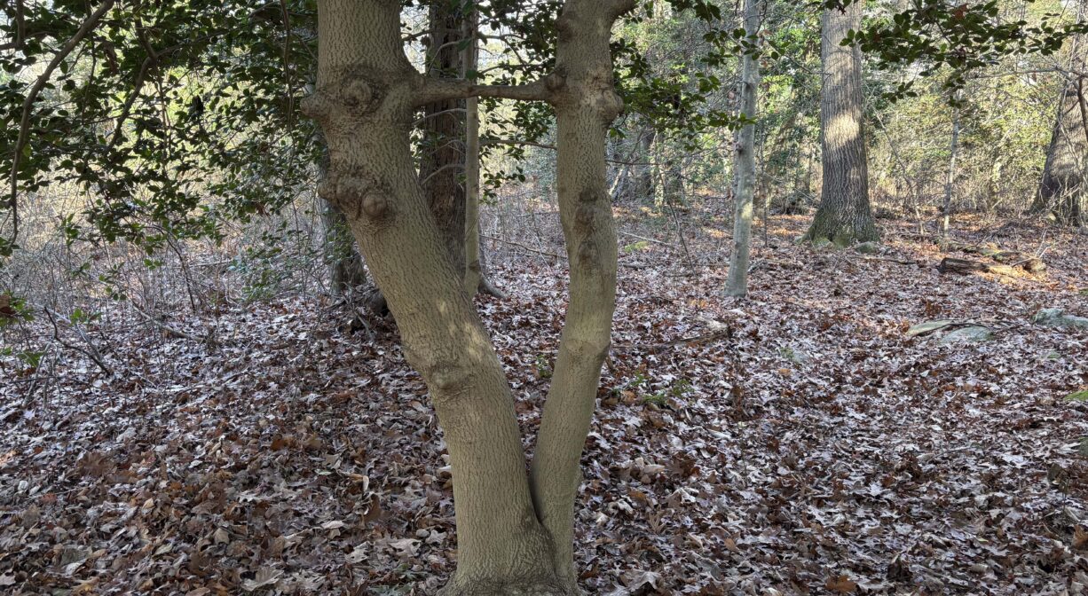
The forest around the Shingle Mill Brook trail is comprised primarily of oak, beech, maple and pine, as well as holly and hemlock. Fern, greenbrier, and sweet pepper bush are abundant. The property contains two drumlin hills, created by glacial activity long ago. One of these drumlins is believed to be the highest point in Hanover. In the dense underbrush, you may spot a deer! There are also some glacial erratic boulders on site, many covered with moss.
Shingle Mill Brook is a tributary to Longwater Brook, which later flows into the Drinkwater River. The Drinkwater River and French’s Stream flow together to form the Indian Head River. All of this takes place in Hanover. The Indian Head River joins with Herring Brook on the Hanover/Hanson/Pembroke line to form the North River, which flows through Hanover, Pembroke, Norwell, Marshfield and Scituate to its outlet at the Atlantic Ocean between Third and Fourth Cliffs, near Humarock.
Historic Site: No
Park: No
Beach: No
Boat Launch: No
Lifeguards: No
Size: 10 acres
Hours: Dawn to Dusk.
Parking: Roadside parking on Virginia Drive for 5-6 vehicles.
Cost: Free
Trail Difficulty: Easy, Medium
Facilities:
Bridges, bog boards in some of the wetter areas.
Dogs: Dogs must remain on leash. Always clean up after your dog!
Boat Ramp: No
ADA Access: No
Scenic Views: Yes
Waterbody/Watershed: Shingle Mill Brook (North River watershed)