
139 Monroe St, Pembroke, MA 02359, USA
Pembroke Conservation: 781-293-4674
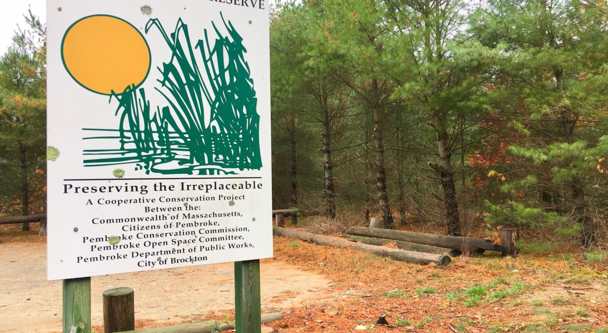
Owned By: Town of Pembroke
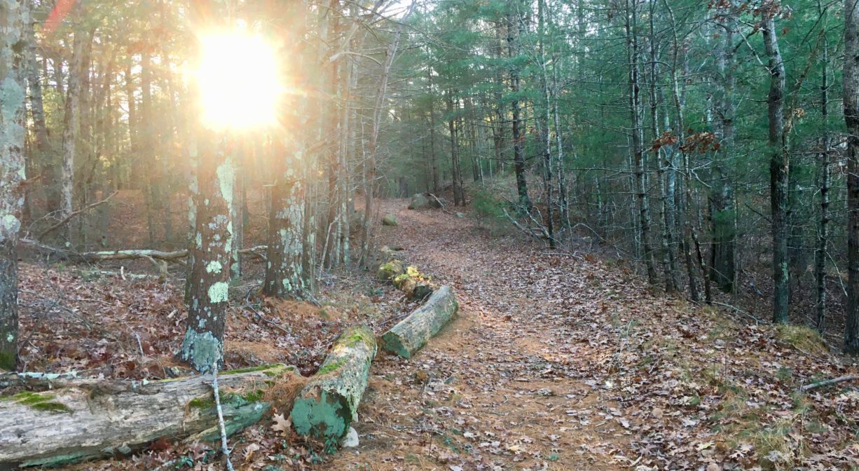
Pembroke’s 125-acre Tubbs Meadow Conservation Area features a 2.7-mile network of wide, flat walking trails through the woods and around a retired cranberry bog. A section of the Bay Circuit Trail extends through the property.
HUNTING: Hunting is allowed, in season, by licensed persons in compliance with Massachusetts law. Please be sure to understand state and local hunting guidelines before proceeding. Non-hunters, be mindful of hunting seasons, and wear bright orange if you’re entering the property during those times. Hunting is not permitted on Sundays.
Features
Purchased by the Town of Pembroke in 2000. Named for the Tubbs Family, who were early residents of Pembroke (c. 1710).
Prior to European contact, the Patuxet band of the Wampanoag tribe inhabited the Jones River watershed, and the area now known as Kingston, Plymouth and Duxbury. This property lies at the outer edge of the Jones River watershed. To learn more about local Native American tribes, we encourage you to interact with their members. The Herring Pond Wampanoag and the Mashpee Wampanoag share information on their websites.
Trail Description
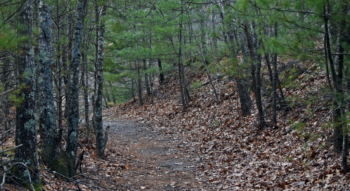
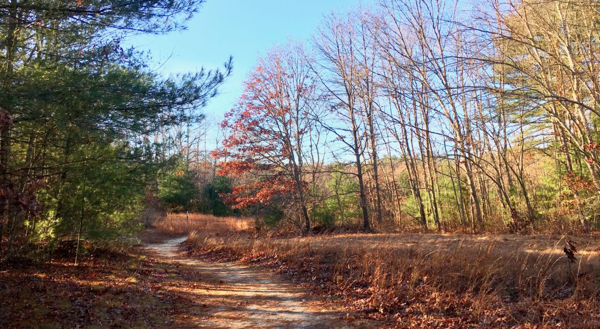
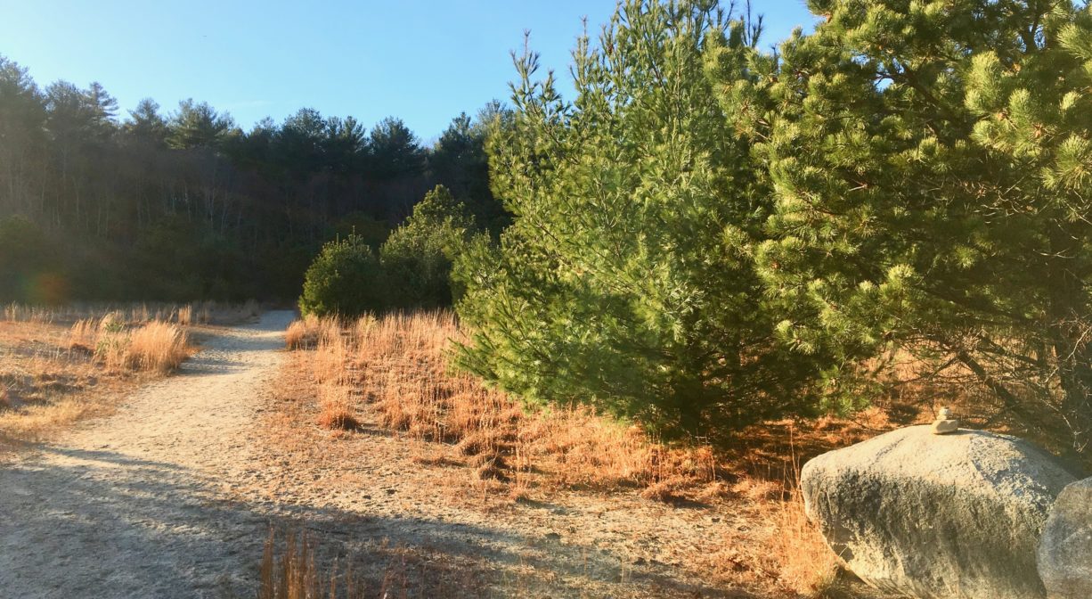
There are two main entrances — one on Monroe Street, and another on Mill Street, plus there is pedestrian access from Kallio Path. Altogether, there are 2.7 miles of trails. The main trail is a meandering loop around a cranberry bog system with a spur trail to each entrance. There are secondary trails that criss-cross the area within the main loop. Not all are marked well, so carrying a map is recommended.
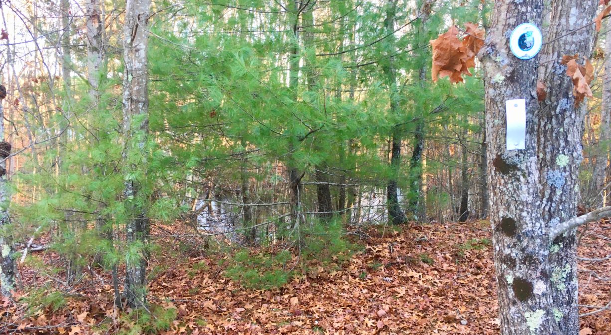
The Bay Circuit Trail passes through the property, and is marked with its own blazes. The Bay Circuit Trail is 200 miles of linked green space from Plum Island in Newburyport to Bay Farm in Duxbury.
Habitats and Wildlife
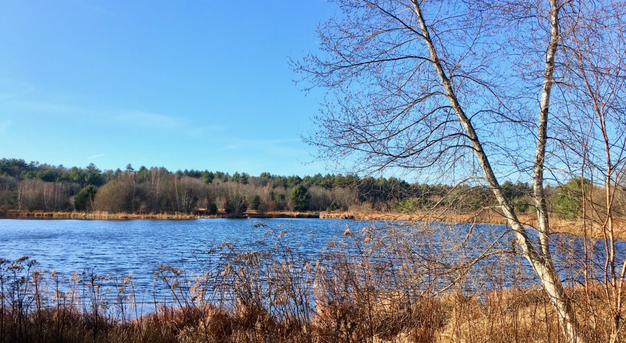
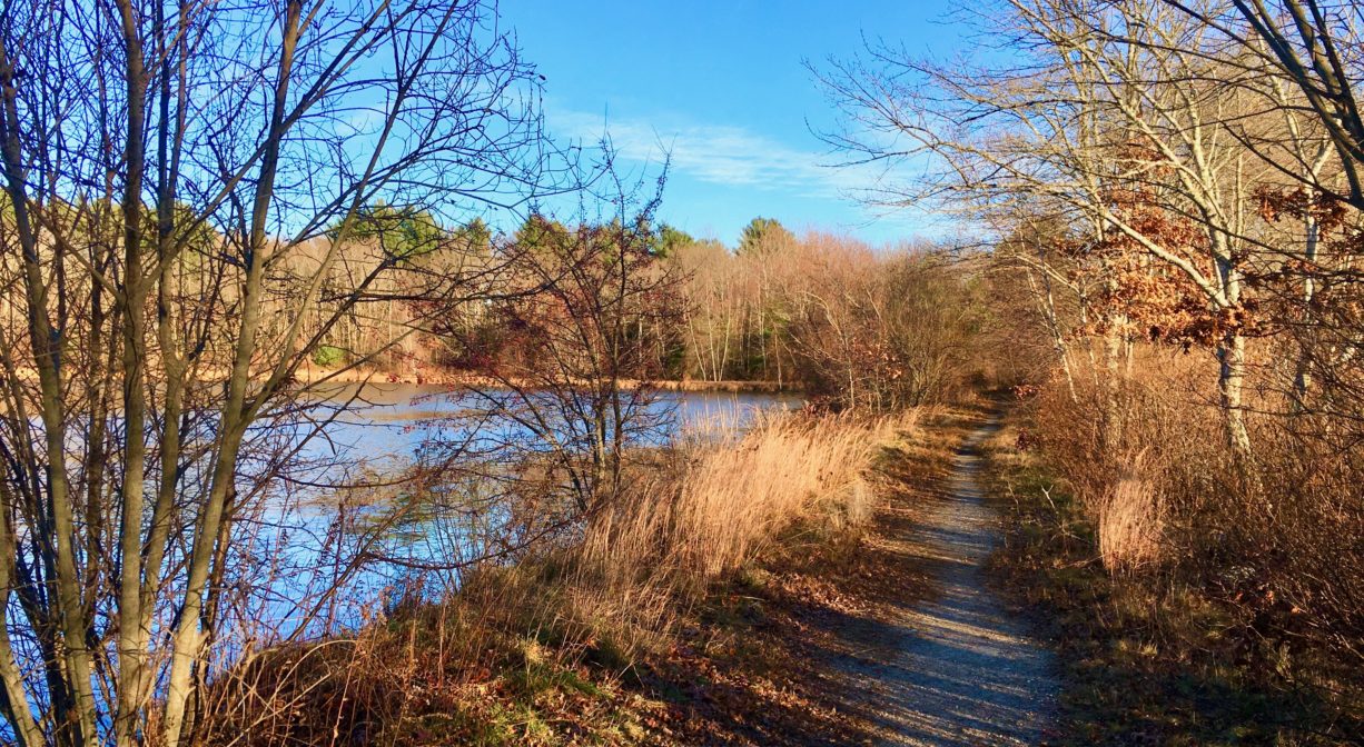
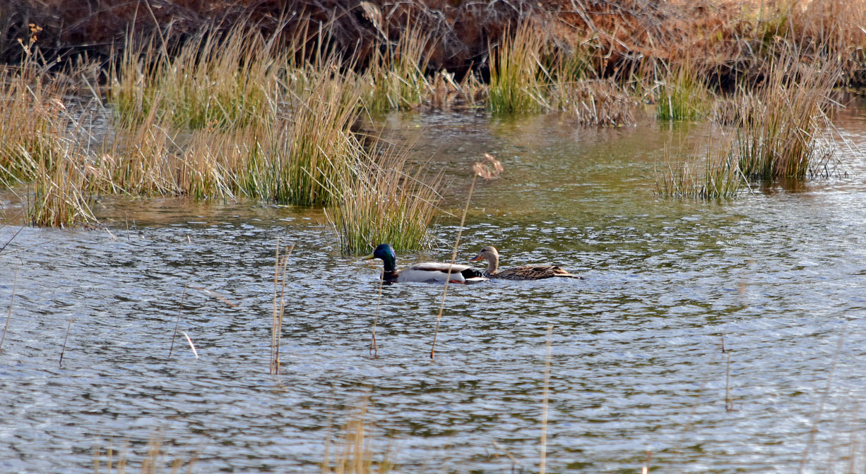
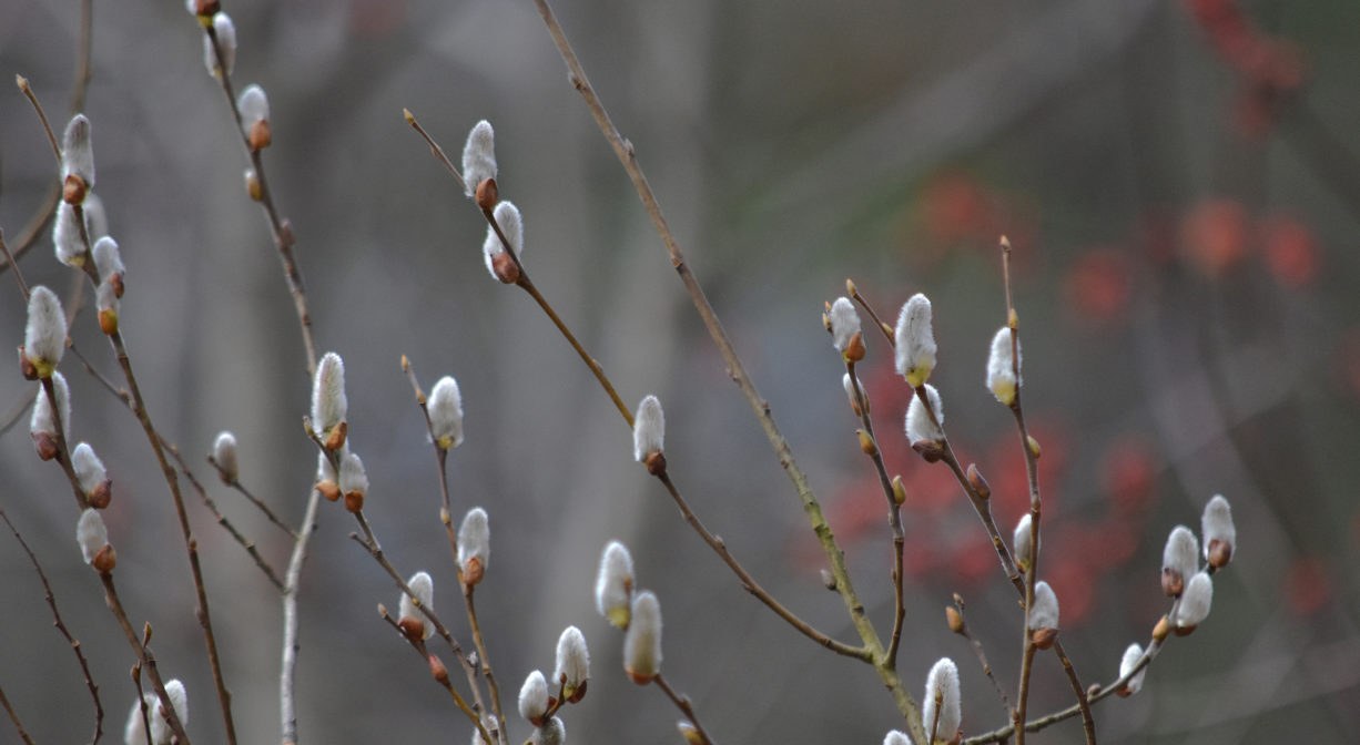
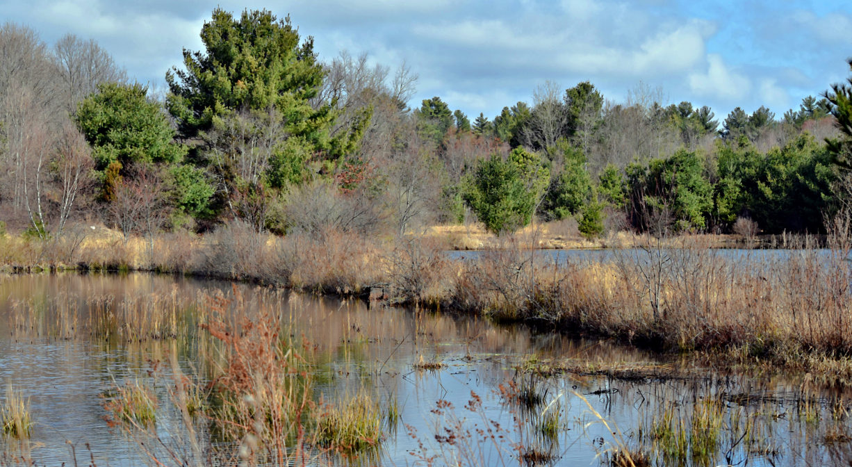
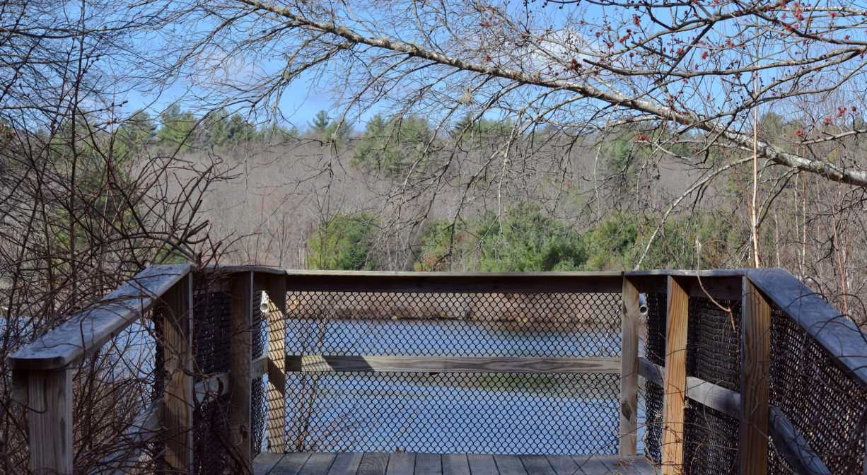
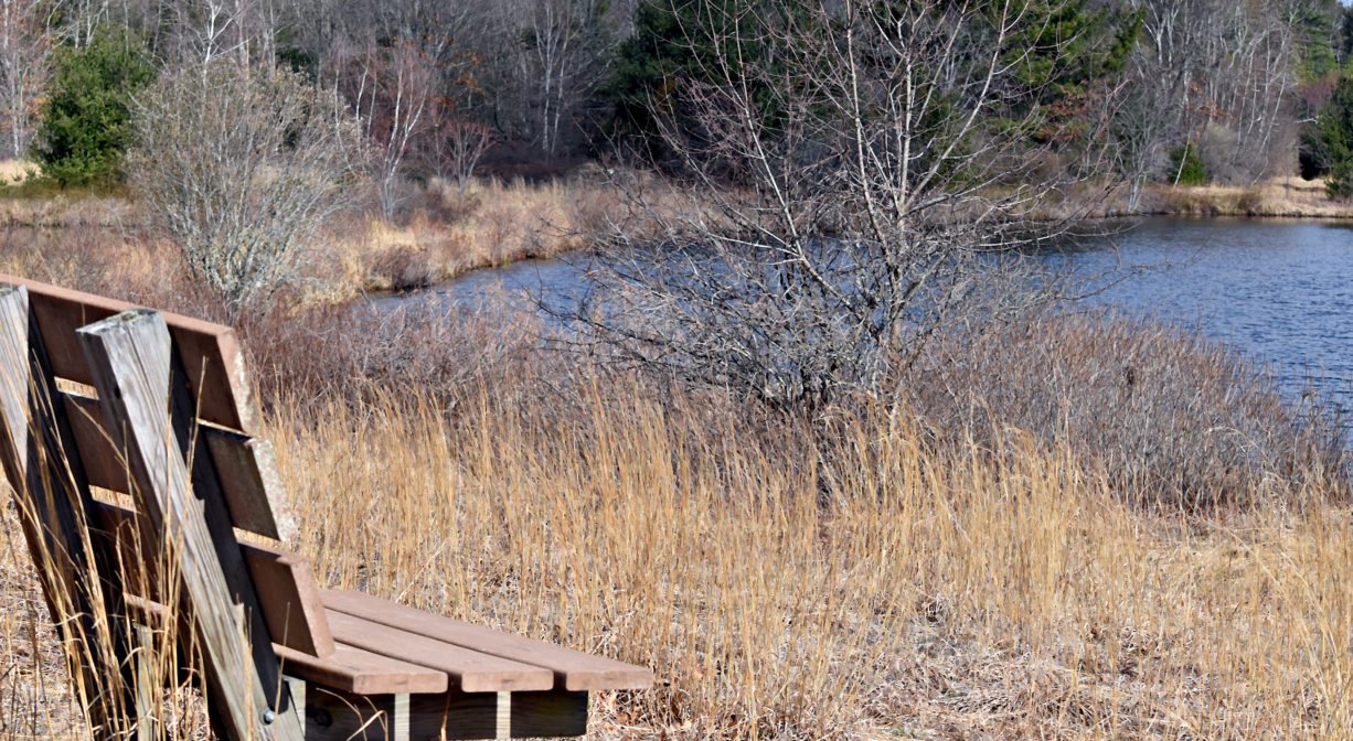
Typical of a retired cranberry bog, Tubbs Meadow offers close-up views of wetlands in varying stages of new growth, surrounded by man-made ditches, plus a pond. A pine-oak forest surrounds the bog areas with the occasional beech or birch tree. Within the sandier areas of the bog system, there are occasional patches of meadow, and also a grove of pitch pine. The waterways that run through Tubbs Meadow drain to Tubbs Meadow Brook, and onward into Silver Lake.
Silver Lake is a 640-acre lake bordered by Pembroke, Kingston, Plympton and Halifax. Fed by groundwater, it is a headwater to the Jones River watershed, and was originally named Jones River Pond. Its name was changed in the 1800’s, in a marketing effort to sell ice. In some spots, Silver Lake is 80 feet deep. It is a natural, glacial lake, and also a headwater to the Jones River. The Jones River flows from Silver Lake, through an impoundment known as Forge Pond (that is held in place by a dam), and continues for 7.5 miles through Kingston, draining into the Atlantic Ocean at Kingston Bay.
Silver Lake is one of the Great Ponds of Massachusetts. Defined as a natural body of water larger than 10 acres, a Great Pond is held in trust by the state for public use. According to the Town of Kingston, it is a remnant of the Glacial Lake Taunton. It is the 12th largest natural lake in the Commonwealth.
Silver Lake is currently the principal water supply for the City of Brockton. To get to Brockton, water is drawn from Silver Lake, treated at a treatment plant on the shore, and then transported 20 miles through two pipes. A diversion station brings in water from two adjacent watersheds – Furnace Pond in the North River watershed and Monponsett Pond in the Taunton River watershed. This can be especially problematic for fish that inhabit the pond, or enter along with the imported water. Low water levels in the lake prevent them from traveling out. Furnace and Monponsett Ponds both have serious eutrophication (excessive nutrient) problems, so unfortunately these diversions lead to polluted water entering the otherwise-clean Silver Lake.
We encourage you to follow and support the Jones River Watershed Association.

Historic Site: No
Park: No
Beach: No
Boat Launch: No
Lifeguards: No
Size: 125 acres
Hours: Dawn to Dusk
Parking: Small on-site parking areas at both the Monroe Street and Mill Street entrances.
Cost: Free
Trail Difficulty: Easy
Facilities:
Benches, observation platform. Kiosks at both parking areas. Geocache location.
Dogs: Dogs must be kept on leash. Always clean up after your dog!
Boat Ramp: No
ADA Access: No
Scenic Views: Yes
Waterbody/Watershed: Tubbs Meadow Brook (Jones River watershed)