
Veterans Commemorative Town Forest, School St, Pembroke, MA 02359, USA
Pembroke Conservation: 781-293-4674
Owned By: Town of Pembroke
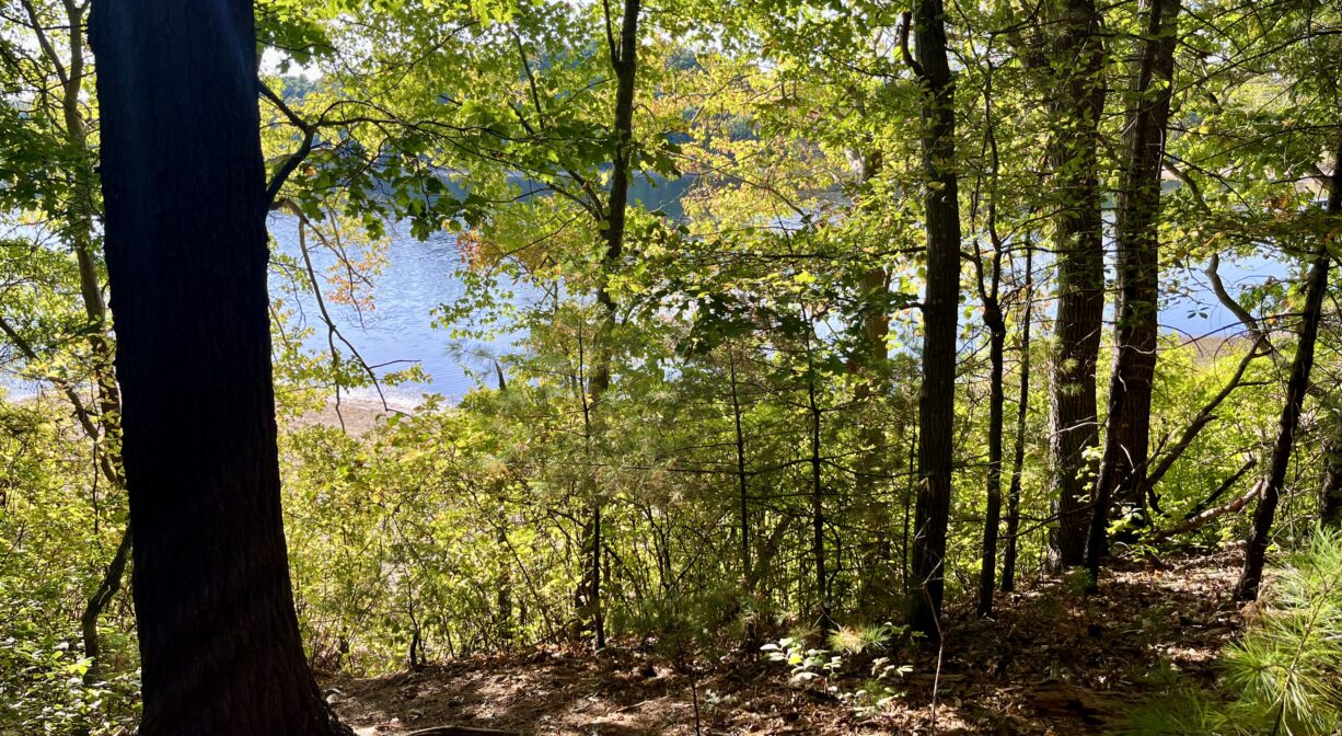
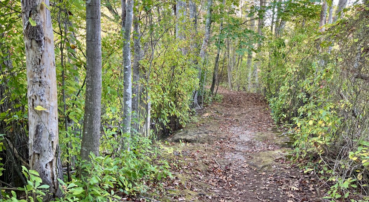
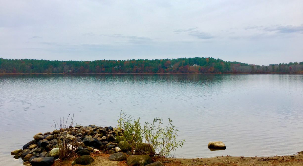
The 88-acre Veterans Commemorative Town Forest in Pembroke features a network of about 3 miles of woodland trails, on a hillside overlooking Silver Lake with beautiful views. A section of the Bay Circuit Trail extends through this property.
Hunting is not allowed on this property.
Features
Prior to European contact, the Patuxet band of the Wampanoag tribe inhabited the Jones River watershed, and the area now known as Kingston, Plymouth and Duxbury. This property lies within the upper portion of the Jones River watershed, and was likely part of the Patuxet’s territory. To learn more about local Native American tribes, we encourage you to interact with their members. The Herring Pond Wampanoag and the Mashpee Wampanoag share information on their websites.
Trail Description
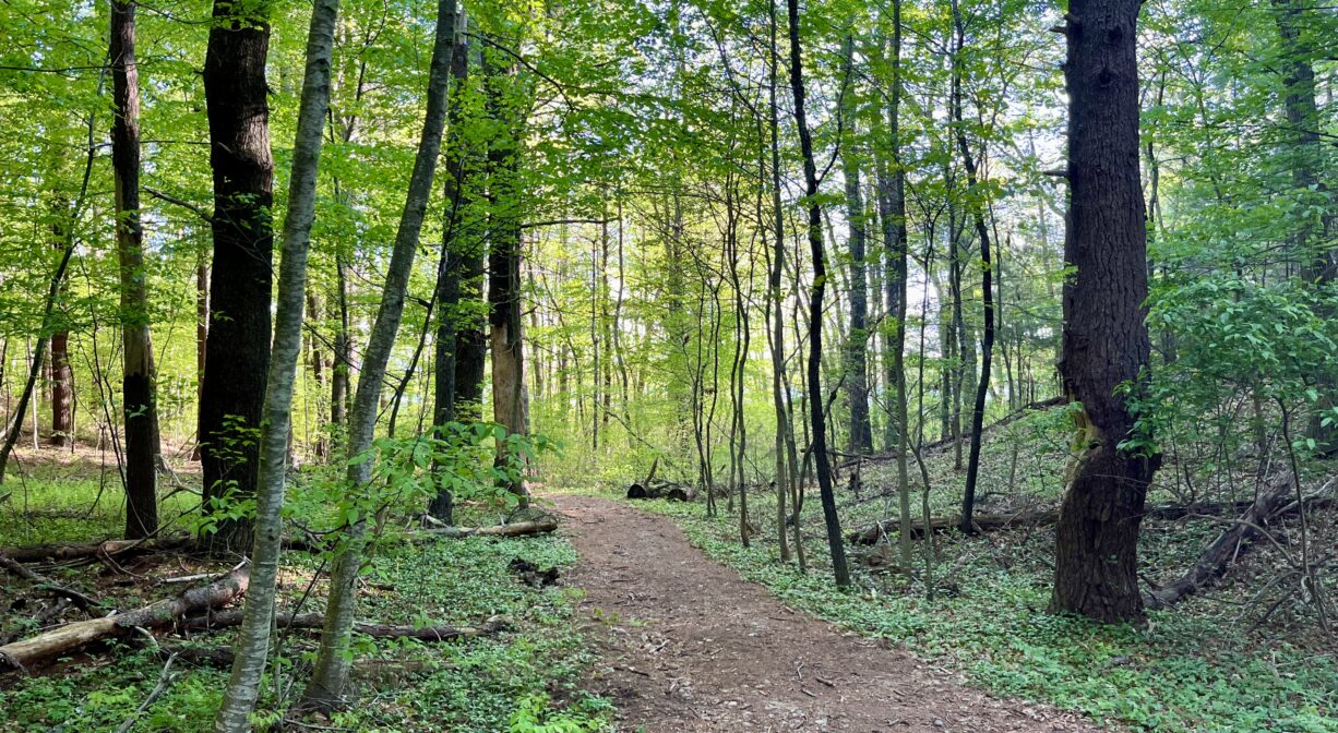
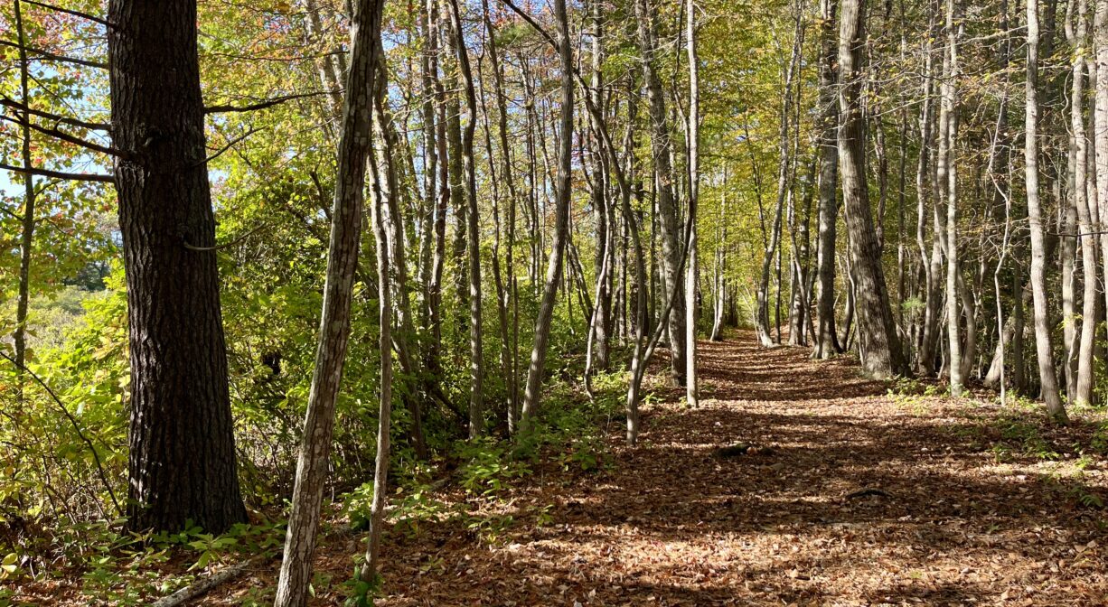
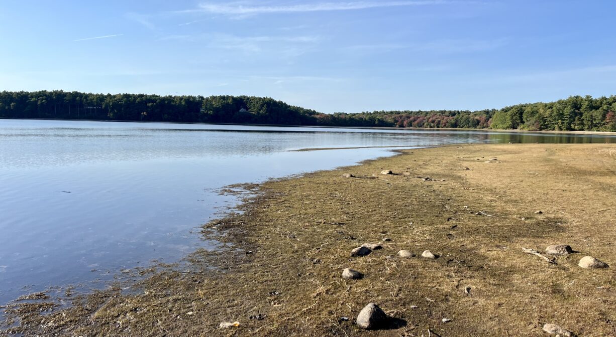
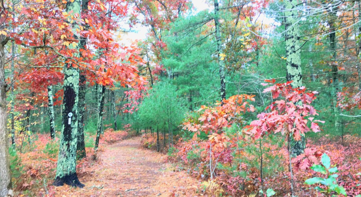
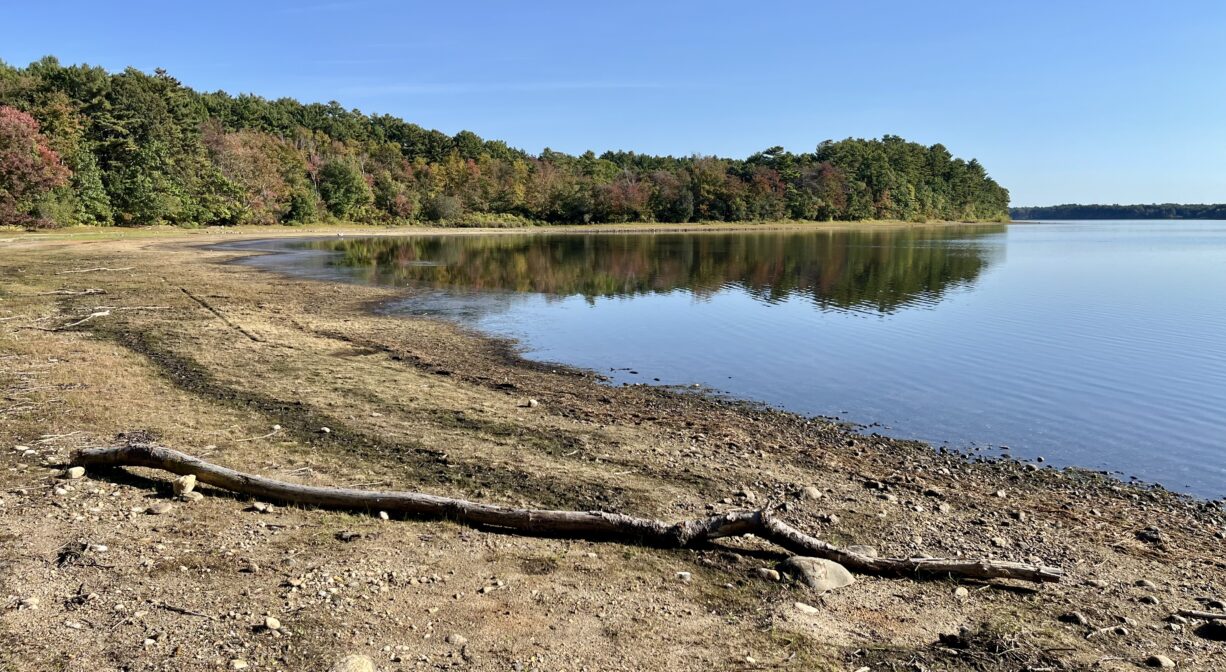
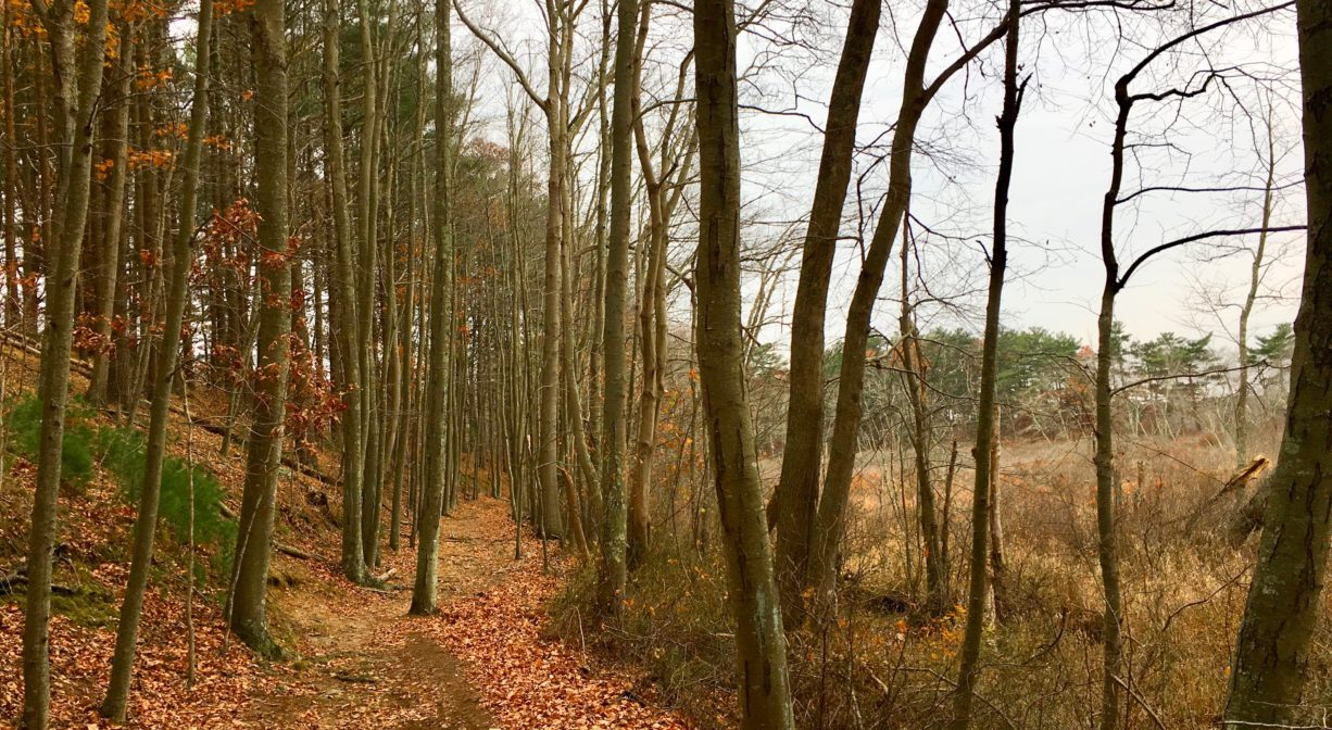
Access the trail network from the parking area on Route 27, or walk in from various points at the Pembroke Community Middle School. There are 1.8 miles of primary trails — many of these are wide cart paths. There is also another mile or so of secondary trails. Some are quite steep! Head downhill for views of Silver Lake. Don’t miss the Silver Lake Overlook in the northwest corner. A section of the Bay Circuit Trail extends through this property.
Habitats and Wildlife
The woods here are composed primarily of pine, with some oak and beech, and plenty of ferns. The wetlands along the shores of Silver Lake provide some diversity.
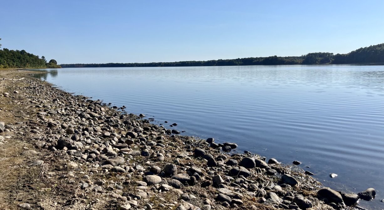
Silver Lake is a 640-acre lake bordered by Pembroke, Kingston, Plympton and Halifax. Fed by groundwater, it is a headwater to the Jones River watershed, and was originally named Jones River Pond. Its name was changed in the 1800’s, in a marketing effort to sell ice. In some spots, Silver Lake is 80 feet deep. It is a natural, glacial lake, and also a headwater to the Jones River. The Jones River flows from Silver Lake, through an impoundment known as Forge Pond (that is held in place by a dam), and continues for 7.5 miles through Kingston, draining into the Atlantic Ocean at Kingston Bay.
Silver Lake is one of the Great Ponds of Massachusetts. Defined as a natural body of water larger than 10 acres, a Great Pond is held in trust by the state for public use. According to the Town of Kingston, it is a remnant of the Glacial Lake Taunton. It is the 12th largest natural lake in the Commonwealth.
Silver Lake is currently the principal water supply for the City of Brockton. To get to Brockton, water is drawn from Silver Lake, treated at a treatment plant on the shore, and then transported 20 miles through two pipes. A diversion station brings in water from two adjacent watersheds – Furnace Pond in the North River watershed and Monponsett Pond in the Taunton River watershed. This can be especially problematic for fish that inhabit the pond, or enter along with the imported water. Low water levels in the lake prevent them from traveling out. Furnace and Monponsett Ponds both have serious eutrophication (excessive nutrient) problems, so unfortunately these diversions lead to polluted water entering the otherwise-clean Silver Lake.
Look for freshwater mussels in the lake bed. They are considered a beneficial species because they actively filter water. If you find them stranded in the sand along the shore, it’s likely because the water in the lake was drawn down quickly.
We encourage you to follow and support the Jones River Watershed Association.


Historic Site: No
Park: No
Beach: No
Boat Launch: No
Lifeguards: No
Size: 88 acres
Hours: Dawn to Dusk
Parking: Limited on-site parking. Unpaved lot on Route 27 (approx. #565 School Street) for 8 cars.
Cost: Free
Trail Difficulty: Easy, Medium
Facilities:
Benches, dog waste receptacles, geocache location.
Dogs: Dogs must remain on leash. Always clean up after your dog!
Boat Ramp: No
ADA Access: No
Scenic Views: Yes
Waterbody/Watershed: Silver Lake (Jones River watershed)