
141 Whitman Ave, Whitman, MA 02382, USA
https://www.whitman-ma.gov/Facilities/Facility/Details/Whitman-Town-Park-24
Owned By: Town of Whitman
Whitman Town Park is a grassy 14-acre property designed by the Olmsted Brothers. It features a pond with a water fountain, broad walking paths, numerous benches and memorials, plus athletic fields, picnic tables, a seasonal swimming pool, and a playground. In the winter, it is a popular spot for sledding.
Features
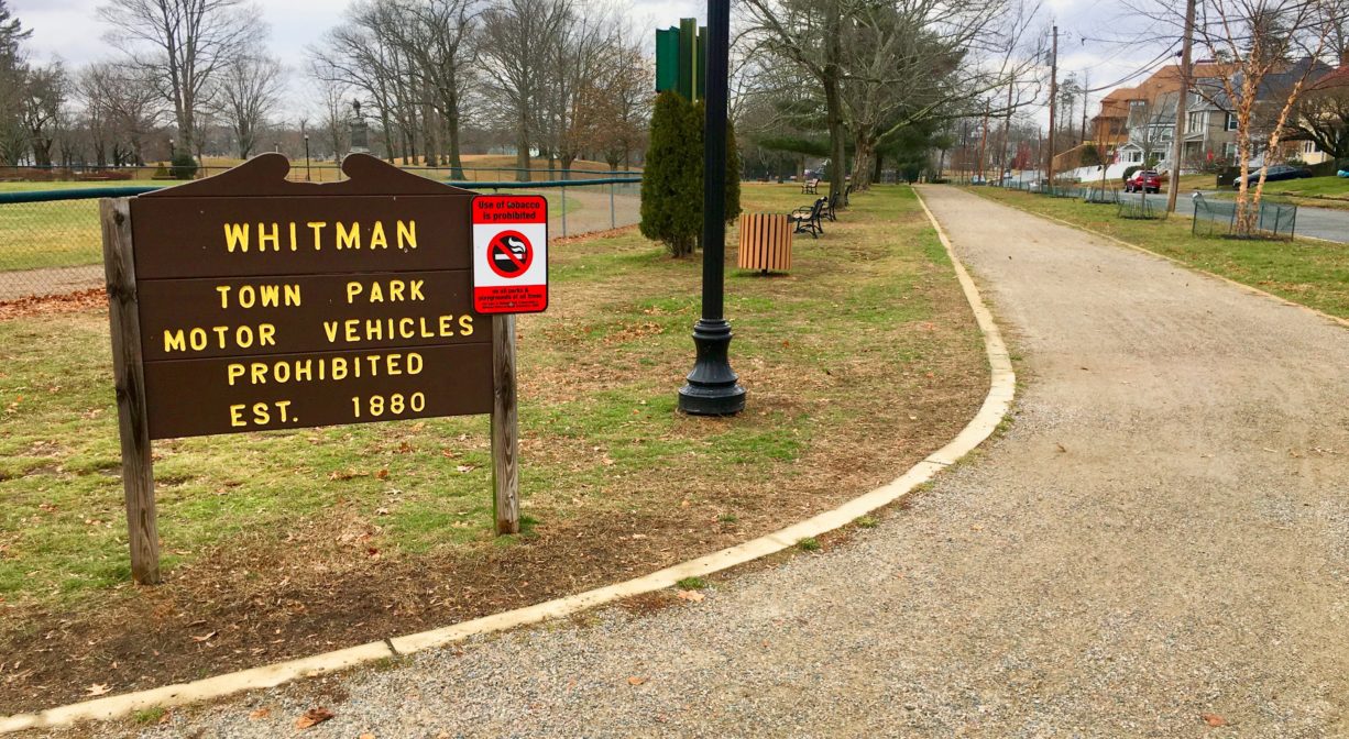
This historic park near the center of Whitman was established in 1880. The land was a gift from Augustus Whitman, whose family gave the town its name. The Olmsted Brothers (sons of Frederick Law Olmsted) were hired to design the park, and their work was in place by 1900. The same firm was hired to redesign the park in 1931, in part to fix some drainage issues. Some of the original design elements remain today, while others have been replaced by modern features. The park was listed on the National Register of Historic Places in 2004.
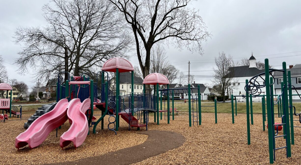
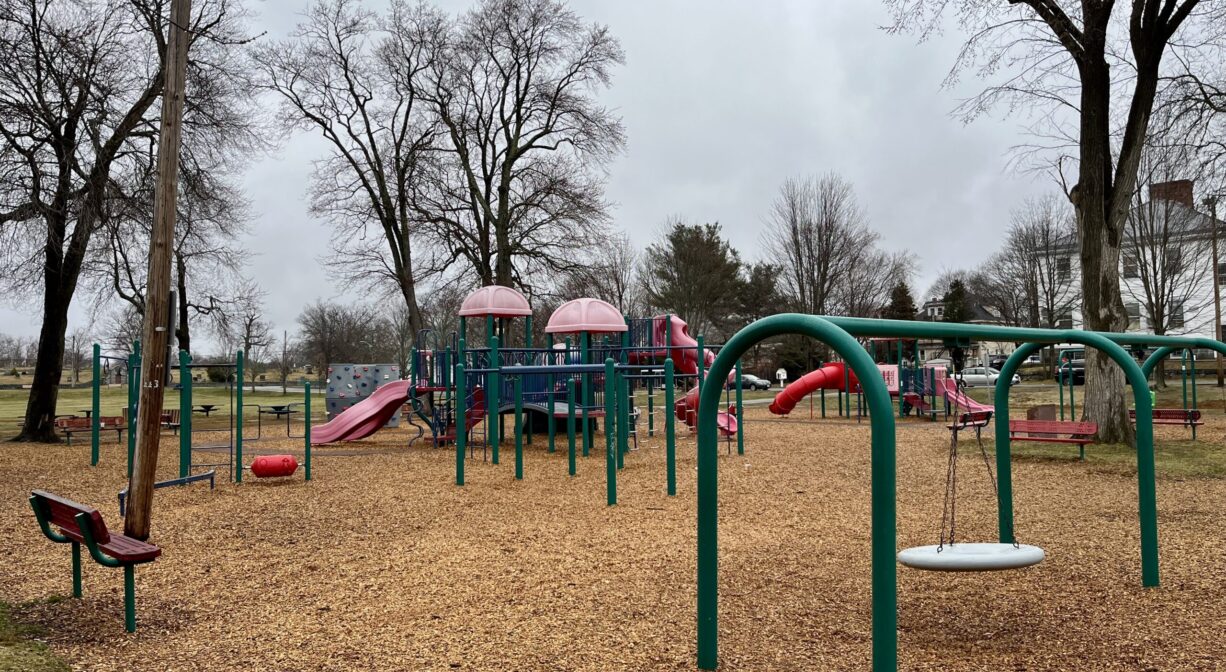
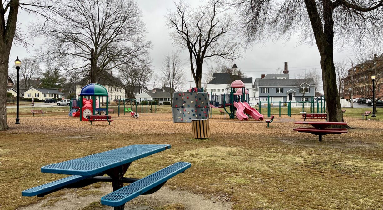
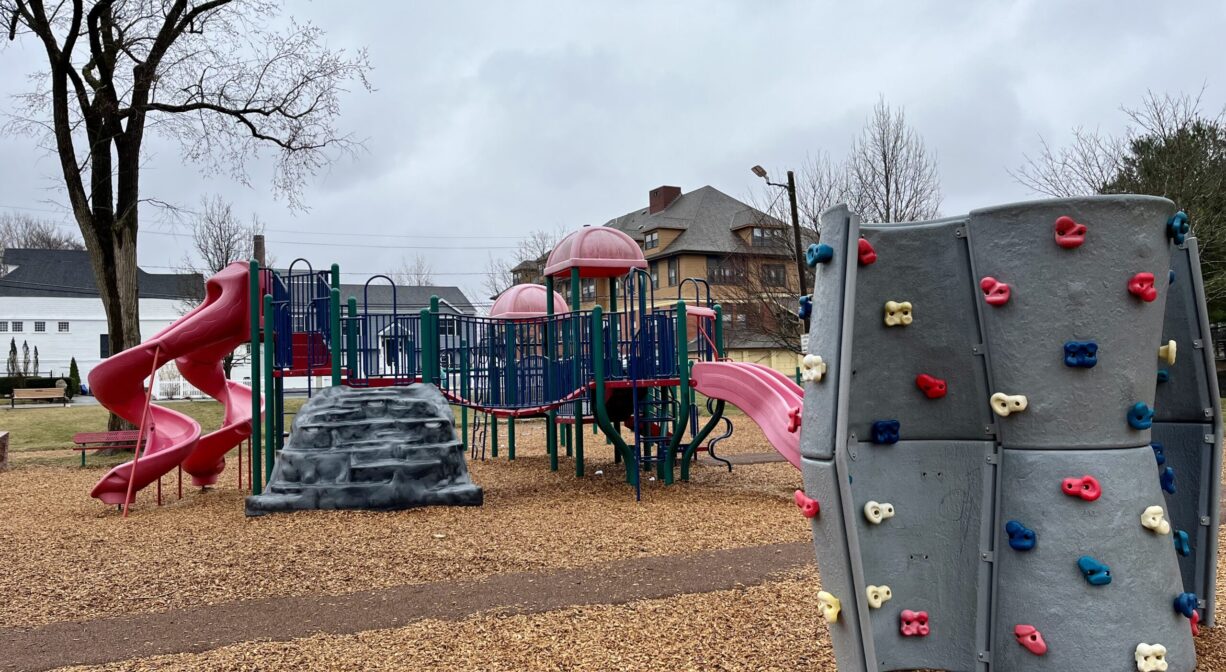
The contemporary playground with numerous benches features play areas for younger and older children featuring swings, slides, climbing structures, a rock wall, bouncers, and a shade structure with built-in games. The surface is wood chips with rubber paths for improved access. There is a picnic area immediately adjacent. Playground hours: 8am to 10pm.
This land is within the region of the Massachuseuk (or Massachusett) Native American tribe. According to Martha Campbell’s Remembering Old Abington, the original town of Abington included today’s Abington and Rockland as well as most of Whitman. in the 1660s, European settlers from Weymouth began establishing homesteads within the town. While the settlers came from Massachusetts Bay Colony, the land was part of Plymouth Colony. All of the 18 original land grants were along the Satucket Path, a trail established by Native Americans that extended from Wessagusset in North Weymouth to Robbins Pond in East Bridgewater.
To learn more about local Native American tribes, we encourage you to interact with their members. The Mattakeeset band of the Massachusett and the Massachusett tribe at Ponkapoag share information on their websites.
Trail Description
A broad gravel walking path extends for 0.45 miles around the perimeter of the park, with a handful of similar internal trails. Extend your walk along the sidewalks of the streets that border the park: Maple Street, Park Ave., Whitman Ave., and Hayden Ave..
Habitats and Wildlife
Typical of a municipal park, this property is mostly grass. Stately oaks and pines line the outer walkways, with newer trees more recently planted along the sidewalk. Within the park, there are also some cedars and maples. There are two small hills within the park, as well as a small manmade pond. The waters of this property flow southeast into the Shumatuscacant River.
The Shumatuscacant River flows for 8.8 miles through Abington and Whitman. In Hanson’s Poor Meadow Brook Conservation Area, it joins with Poor Meadow Brook. The stream continues to Robbins Pond in East Bridgewater, where it empties into the Satucket River, part of the Taunton River watershed. The word “Schumatuscacant” has been translated from the Algonquin as “beaver stream with the stepping-over place.” It originally referred to a specific spot on the Satucket Path where the river could be crossed easily. A similar word, “Schumacastcacut,” has been translated as “beaver stream always dependable.”


Historic Site: No
Park: Yes
Beach: No
Boat Launch: No
Lifeguards: No
Size: 14 acres
Hours: Dawn to Dusk
Parking: Numerous roadside parking spaces on Whitman Avenue, adjacent to the park.
Cost: Free
Trail Difficulty: Easy
Facilities:
Benches, playground, bandstand, 2 baseball fields, basketball court, seasonal swimming pool, lamp posts. Geocache location.
Dogs: Dogs are welcome, but they must be licensed in MA. Dogs are not permitted on the baseball fields. Always clean up after your dog!
Boat Ramp: No
ADA Access: Yes
Scenic Views: Yes
Waterbody/Watershed: Shumatuscacant River (Taunton River watershed)