
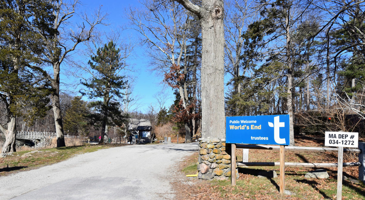
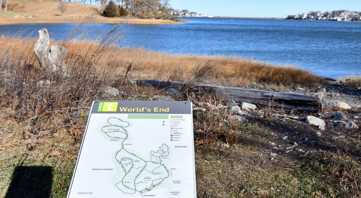
World's End, Martins Lane, Hingham, MA, USA
http://www.thetrustees.org/places-to-visit/south-of-boston/worlds-end.html
Owned By: The Trustees
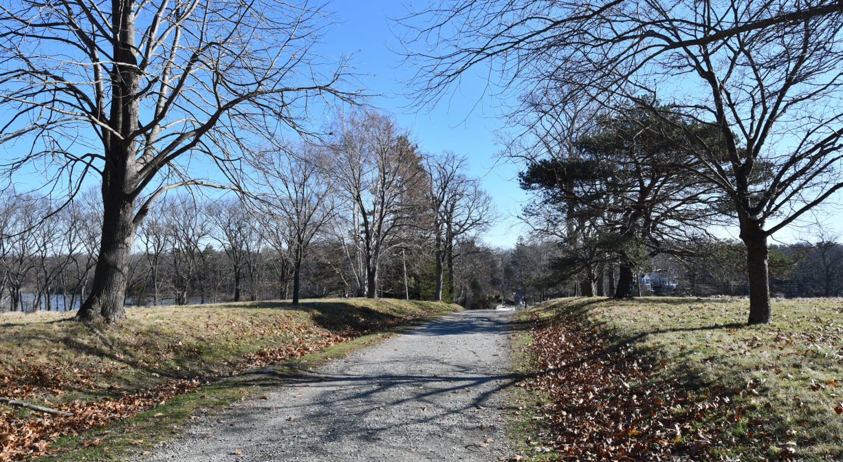
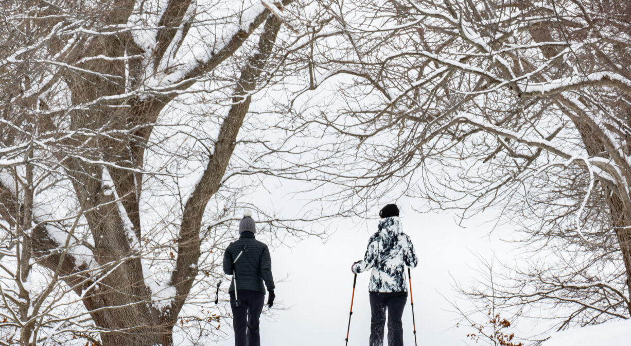
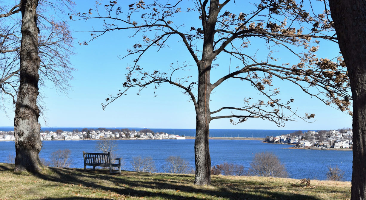
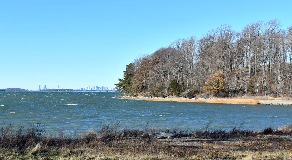
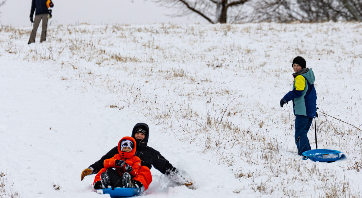
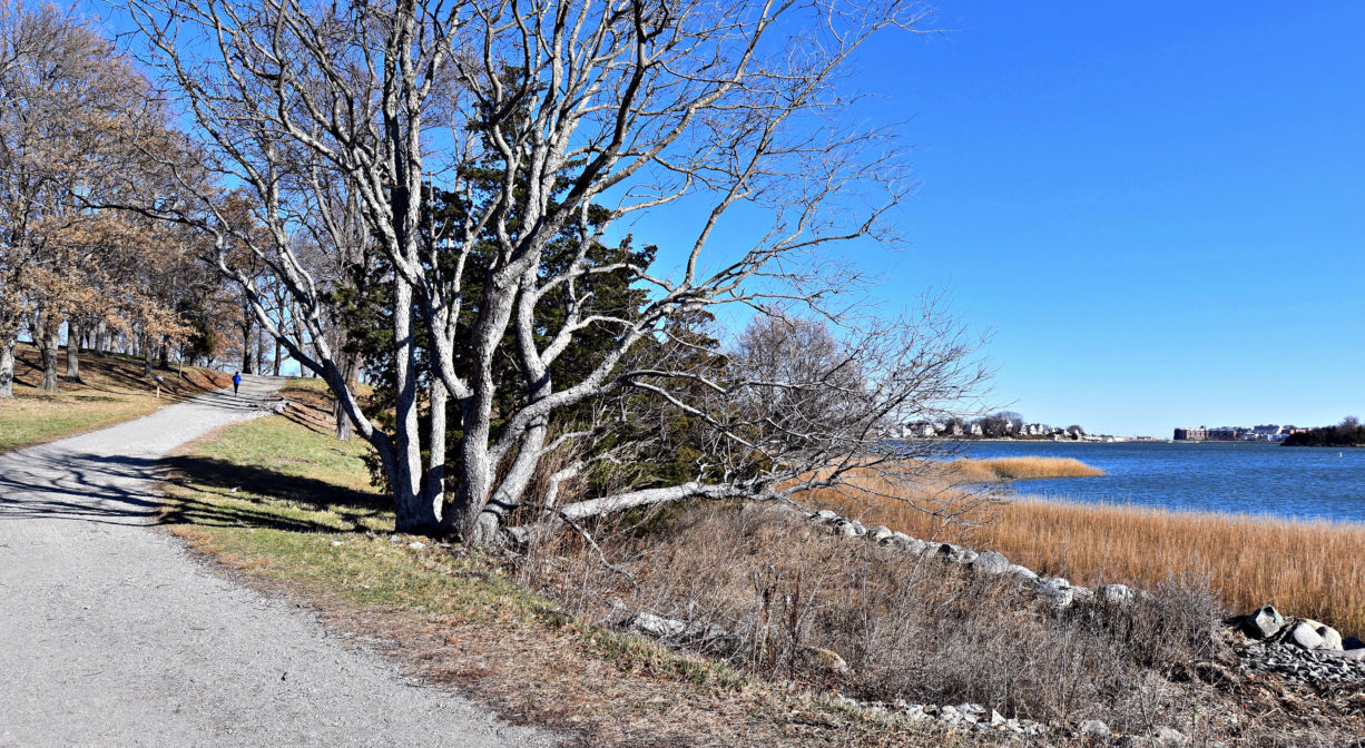
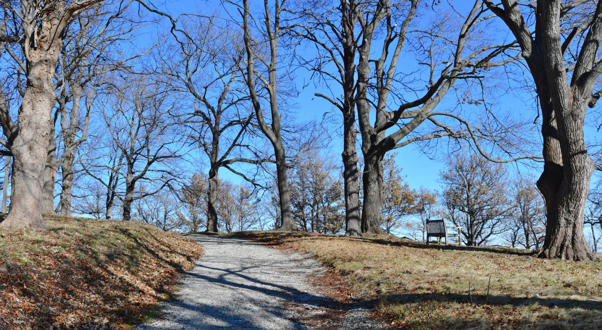
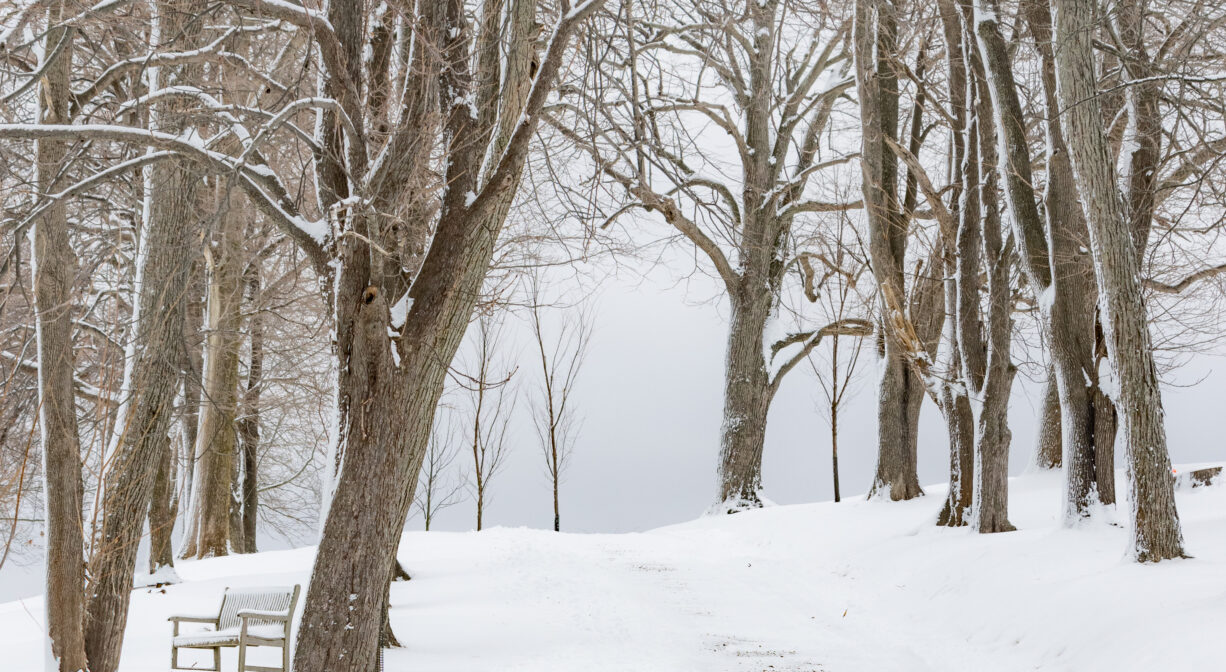
Owned by The Trustees, and partly designed by Frederick Law Olmsted, the 251-acre World’s End is the jewel in the crown of South Shore nature preserves. Bordered by Hingham Harbor and the Weir River, it features rolling hills with majestic views of the Boston skyline, and more than 4 miles of trails and carriage roads. Part of the Boston Harbor Islands National Park Area. Consider this spot for winter sledding.
IMPORTANT: on weekends and holidays, a parking pass, available online, is required.
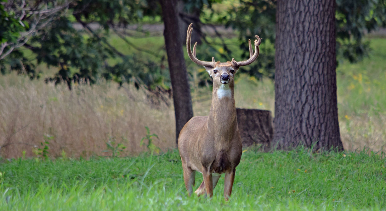
HUNTING: Hunting is not allowed on this property, except on specified dates, and only by participants of World’s End’s permission-only controlled deer hunting program. Consult The Trustees for more information.
Features
Colonial-era farmers cleared of all the trees that grew at World’s End, and erected a dam so they could grow hay in the salt marsh. According to Elizabeth Coatsworth’s South Shore Town, World’s End’s name dates back to colonial fox hunts, when foxes were pursued not for sport, but in order to make the land safer for its human inhabitants. (There were bounties for foxes and wolves, and each head of household was required to bring in his share of crows and blackbirds.)
In the 1880’s, John Brewer established a farming estate here. He made plans to build a 163-house residential subdivision (designed by Frederick Law Olmsted) in 1890, but fortunately that did not end up happening! The homes were never built, but some of the carriage roads are still in place. The property was also strongly considered as a location for the headquarters of the United Nations (1945), as well as for a nuclear power plant (1965). In 1967, local residents worked with The Trustees of Reservations to raise funds to purchase and preserve the property.
Don’t miss Planters Hill. It is crowned with three rings of trees and a circular path. A flat grassy area stands in the middle: a classic design for a sacred place. From the summit you can look down in four directions: south, across the sprawling fields of World’s End; west, to Hingham Harbor and the wooded, suburban town; east, beyond the rocky bayside cliffs to hundreds of cottages along the slender arm of Hull; and north, to Boston, the Harbor Islands, and Massachusetts Bay.
This land is within the region of the Massachusett (or Massachuseuk). To learn more about local Native American tribes, we encourage you to interact with their members. The Mattakeeset band of the Massachusett, and the Massachusett tribe at Ponkapoag, both share information on their websites.
Annual horseback riding permit available. Call for details.
Trail Description
Follow 4.5 miles of carriage paths and footpaths through the woods, along the shoreline, and up & down Planters Hill. Work your way around the perimeter or follow any of the numerous loop trails for a variety of habitats and landscapes.
Habitats and Wildlife
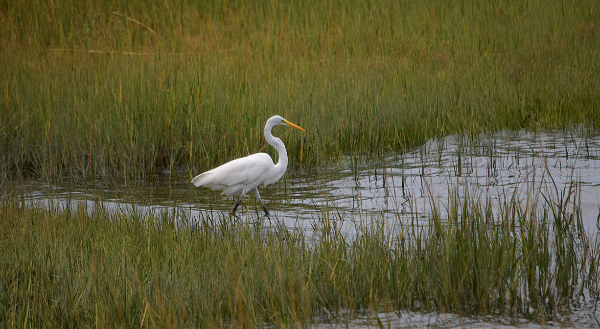
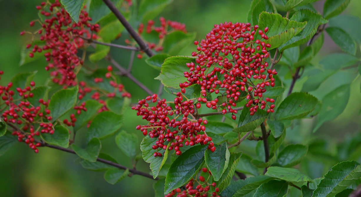
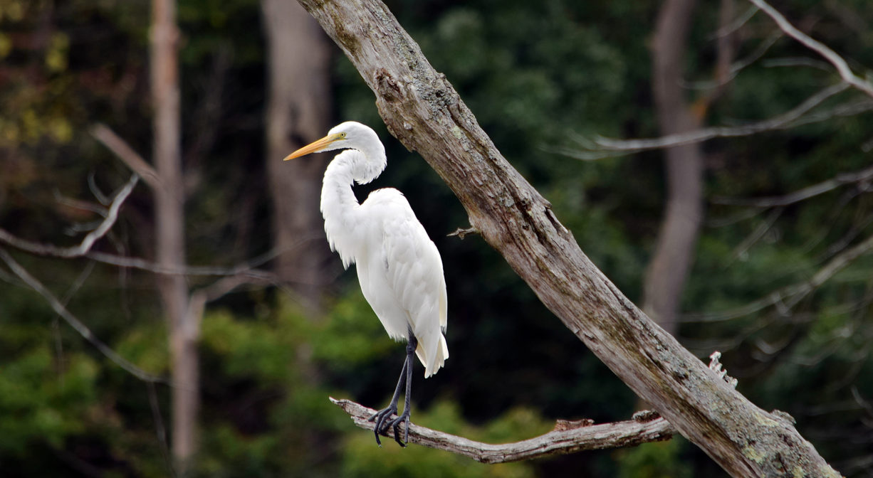
Woodlands, rocky shorelines, drumlin hills topped with majestic oaks, grassy open fields, glacial erratic boulders, plus marshland and granite ledges. Trees include: oak, red cedar, linden, pine, yellow birch, and pitch pine. Olmsted’s designed landscape is carefully maintained. Watch for tree swallows at the nesting boxes.
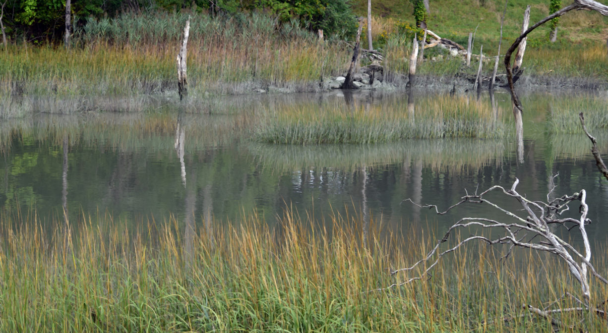
The Weir River forms the eastern boundary of World’s End. Formed at the confluence of Crooked Meadow River and Fulling Mill Brook, the Weir River flows north through Hingham, with Tower Brook and Accord Brook joining it in its first mile. It gradually turns northeast and flows for another 1.4 miles, through Weir River Farm and eventually into Foundry Pond. The Weir River Estuary, designated by the Commonwealth of Massachusetts as an Area of Critical Concern, begins just below the manmade dam at the pond. The mile-wide estuary — with numerous acres of undisturbed salt marsh — forms the border between Hingham and Hull, and empties into Hingham Bay. We encourage you to follow and support the Weir River Watershed Association.


Historic Site: No
Park: No
Beach: No
Boat Launch: No
Lifeguards: No
Size: 251 acres
Hours: 8am to sunset
Parking: Limited on-site parking on Martin's Lane.
Cost: Trustees members and children: FREE. Nonmember adults: $8 weekend/holiday and $6 weekday.
Trail Difficulty: Easy, Medium
Facilities:
Public restrooms, ranger station, informational kiosk, benches, drinking water fountain, picnic tables. Geocache location. Click here for details about reserving the GRIT Freedom Chair (all-terrain wheelchair).
Dogs: Dogs must remain on leash and under control at all times. Always clean up after your dog and and bring it with you.
Boat Ramp: No
ADA Access: GRIT Freedom Chair (all-terrain wheelchair) available to reserve for free with price of admission.
Scenic Views: Yes
Waterbody/Watershed: Weir River watershed