
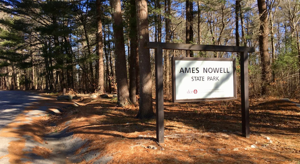
Ames Nowell State Park, Linwood Street, Abington, MA, USA
https://www.mass.gov/locations/ames-nowell-state-park
Owned By: Commonwealth of Massachusetts
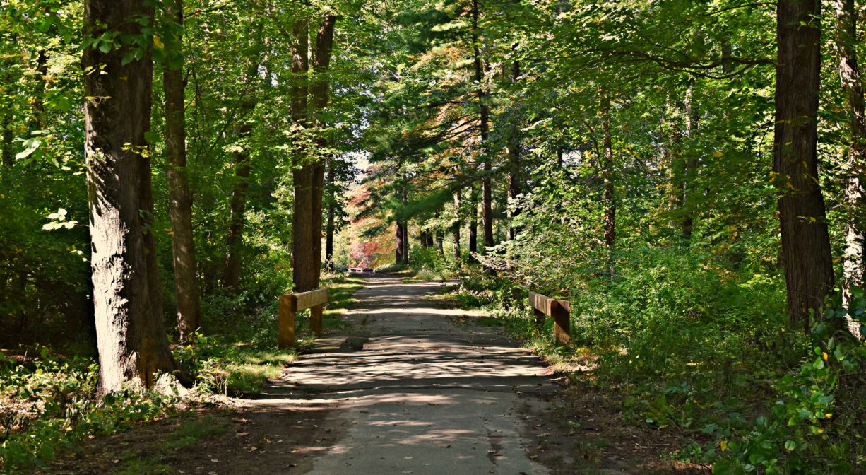
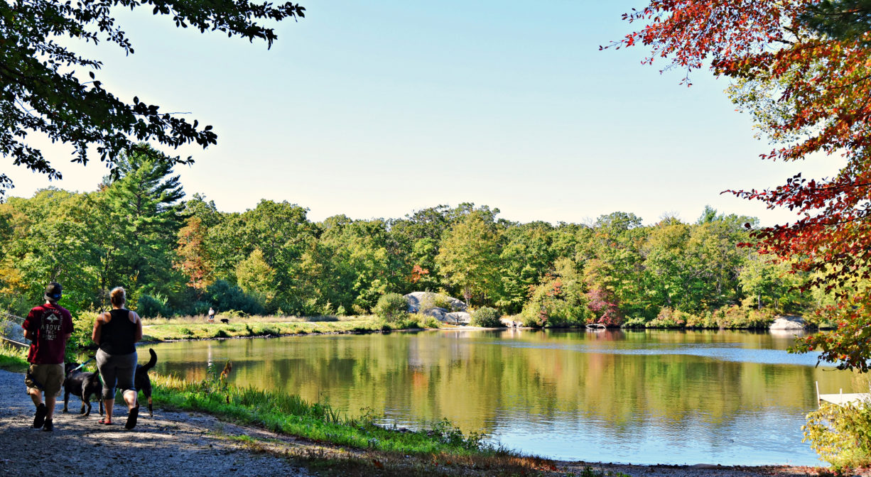
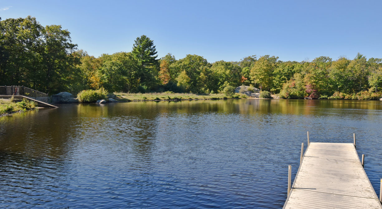
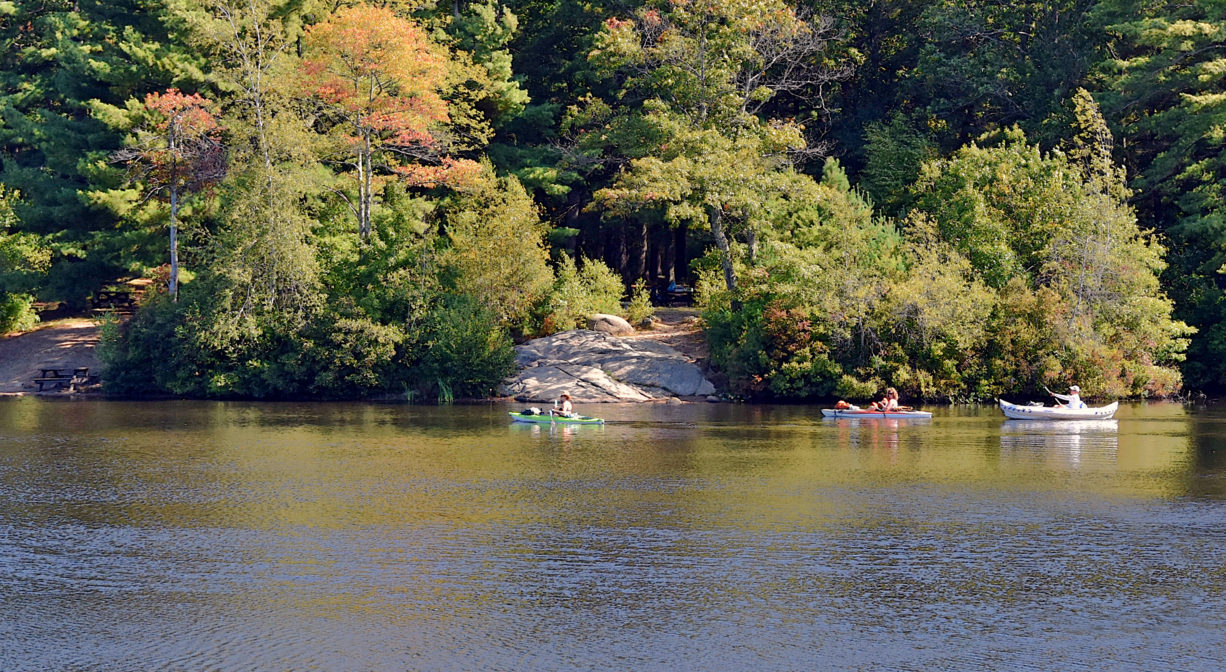
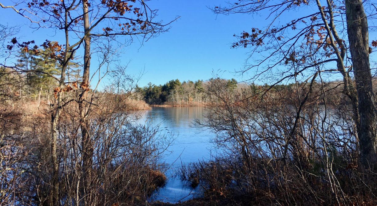
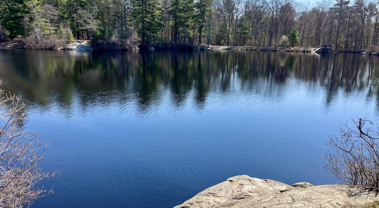
Ames Nowell State Park is a 700-acre property located in Abington, with 10+ miles of paved and unpaved trails through forest and wetlands. Equestrians and cyclists are welcome. Launch your non-motorized boat on Cleveland Pond, the centerpiece of the park.
FISHING ADVISORY: It’s important to know that some of our freshwater fisheries are contaminated with mercury, PFAS and/or other concerning substances. The Massachusetts Department of Public Health maintains an online database with up-to-date advisories regarding fish consumption, sorted by location. We recommend you consult this valuable resource when planning a fishing excursion.
Hunting is not allowed on this property.
Features
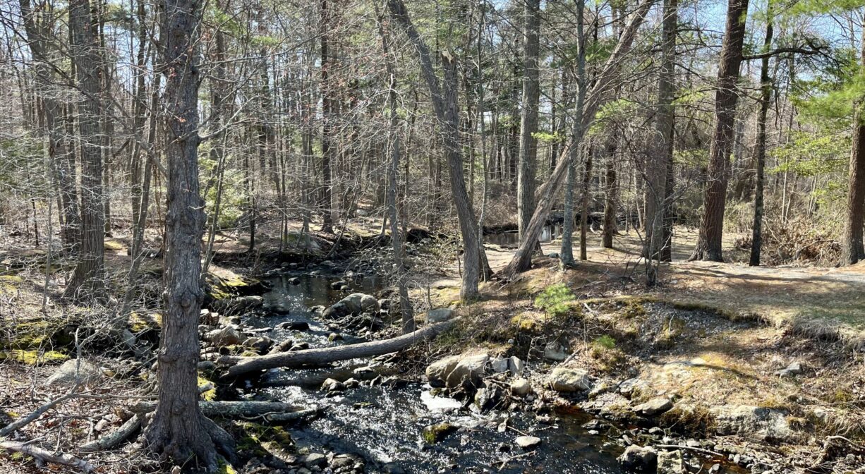
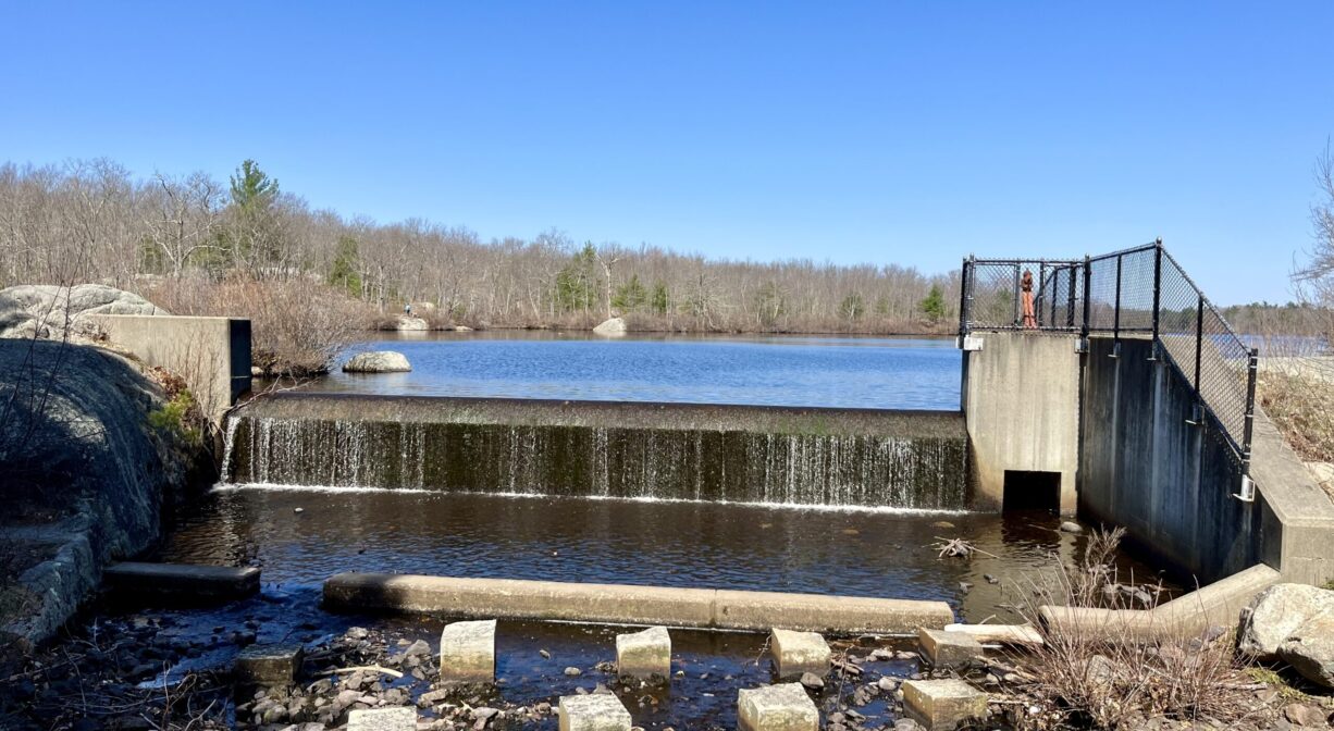
A sawmill, and then a grist mill, stood at the northern end of the property in the 1700’s, on Beaver Brook. In the 1920’s, Edwin Holmes purchased the land and dammed the brook, creating Cleveland Pond. Holmes maintained the land as a bird sanctuary and hunting spot, but was unable to pay taxes on it during the Depression. Ames Nowell, the grandson of Massachusetts Governor Oliver Ames, purchased it next. The park is named for him. Old stone walls deep within the property reveal an agricultural past.
This land is within the region of the Massachusett (or Massachuseuk) Native American tribe. According to Martha Campbell’s Remembering Old Abington, the original town of Abington included today’s Abington and Rockland as well as most of Whitman. In the 1660s, European settlers from Weymouth began establishing homesteads within the town. While the settlers came from Massachusetts Bay Colony, the land was part of Plymouth Colony. All of the 18 original land grants were along the Satucket Path, a trail established by Native Americans that extended from Wessagusset in North Weymouth to Robbins Pond in East Bridgewater. Campbell also explains how the Native American name for the town was Manamooskeagin, translated from the Algonquin as “great green place of shaking grass.” The Abington town seal incorporates its Algonquian name.
To learn more about local tribes, we encourage you to interact with their members. The Mattakeeset band of the Massachusett and the Massachusett tribe at Ponkapoag share information on their websites.
Trail Description
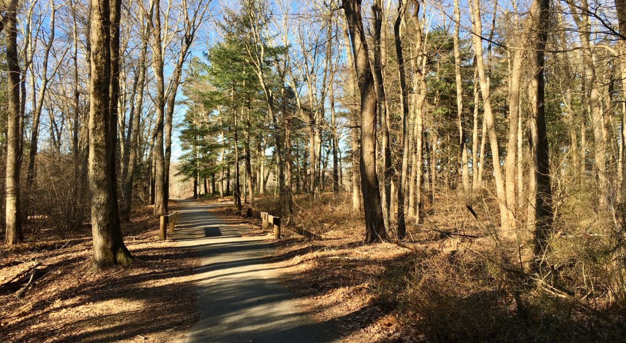
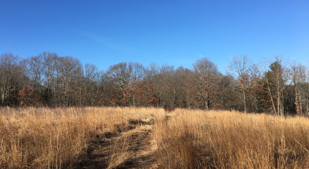
Ten miles of trails and unpaved roads. Some trails are wide, some are narrow. Many are marked with numbered blue blazes, but quite a few are not. Even with the official map, it can be easy to lose your way.
Habitats and Wildlife
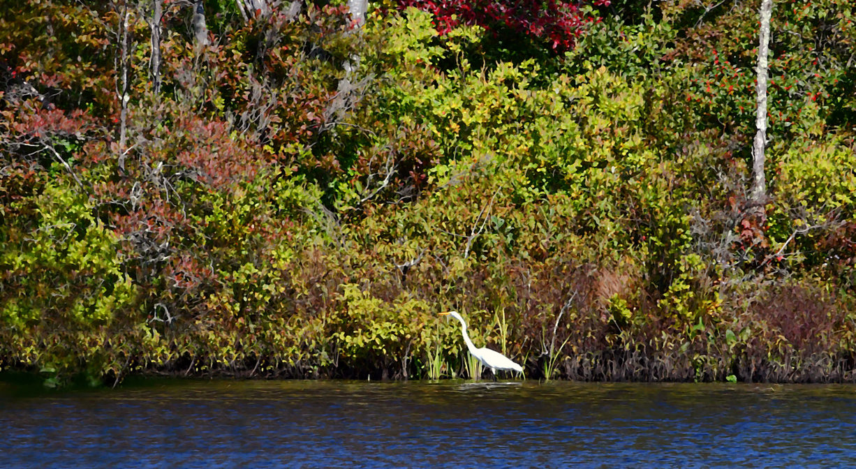
The woods surrounding Cleveland Pond are primarily pine and oak, with some beech and holly. There are wetlands too, with swampy areas as well as freshwater marshes. Beaver Brook enters the property from the north and flows through the pond. The pond was created in the 1920’s when the brook was dammed for industrial use. Beaver Brook continues south through Abington and Bridgewater, where it flows into the Matfield River. It is part of the Taunton River watershed. We encourage you to follow and support the Taunton River Watershed Alliance.
Historic Site: No
Park: Yes
Beach: No
Boat Launch: Yes
Lifeguards: No
Size: 700 acres
Hours: Dawn to Dusk
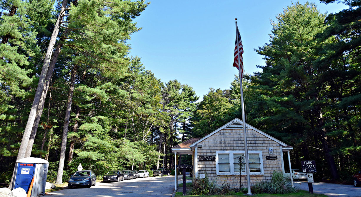
Parking: Ample on-site parking on Linwood Street.
Cost: Free. Swimming requires an additional fee.
Trail Difficulty: Easy, Medium
Facilities:
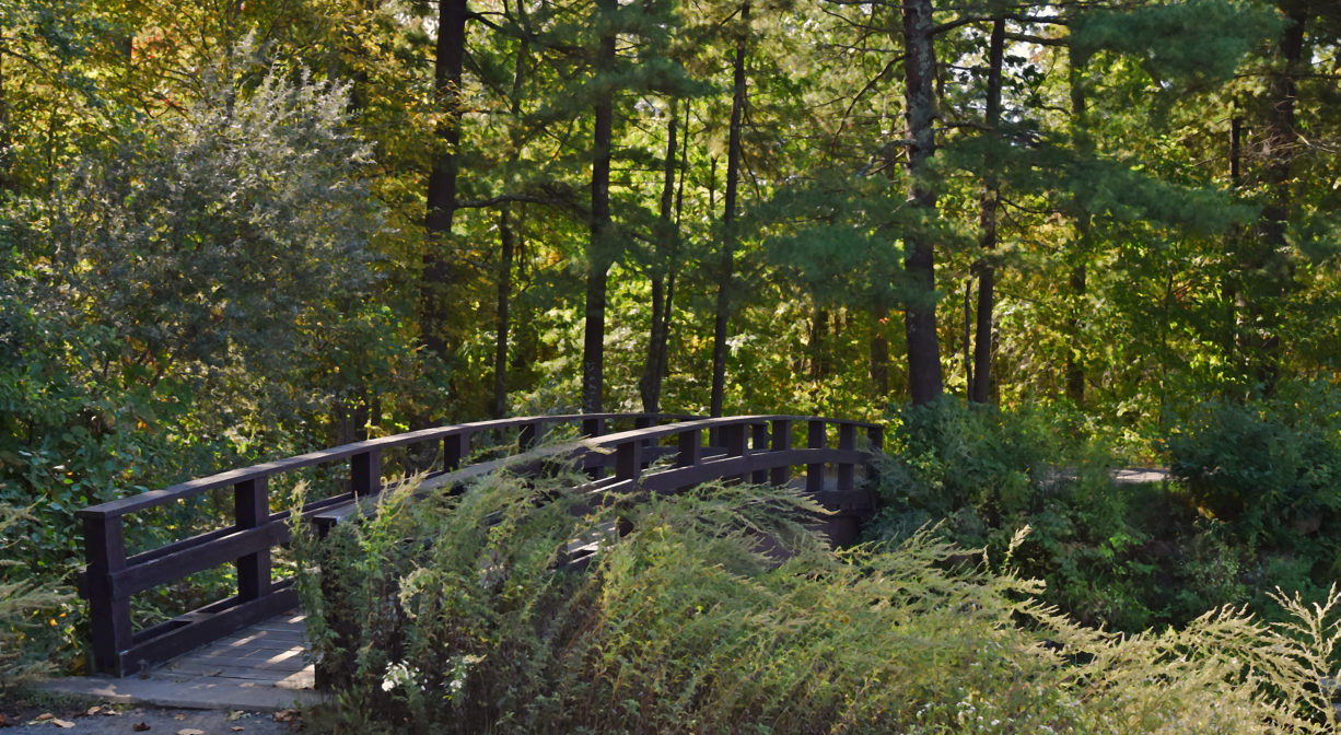
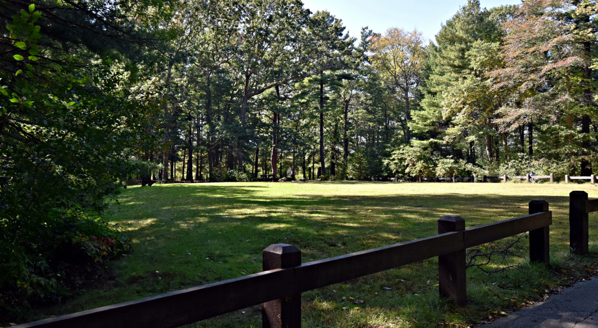
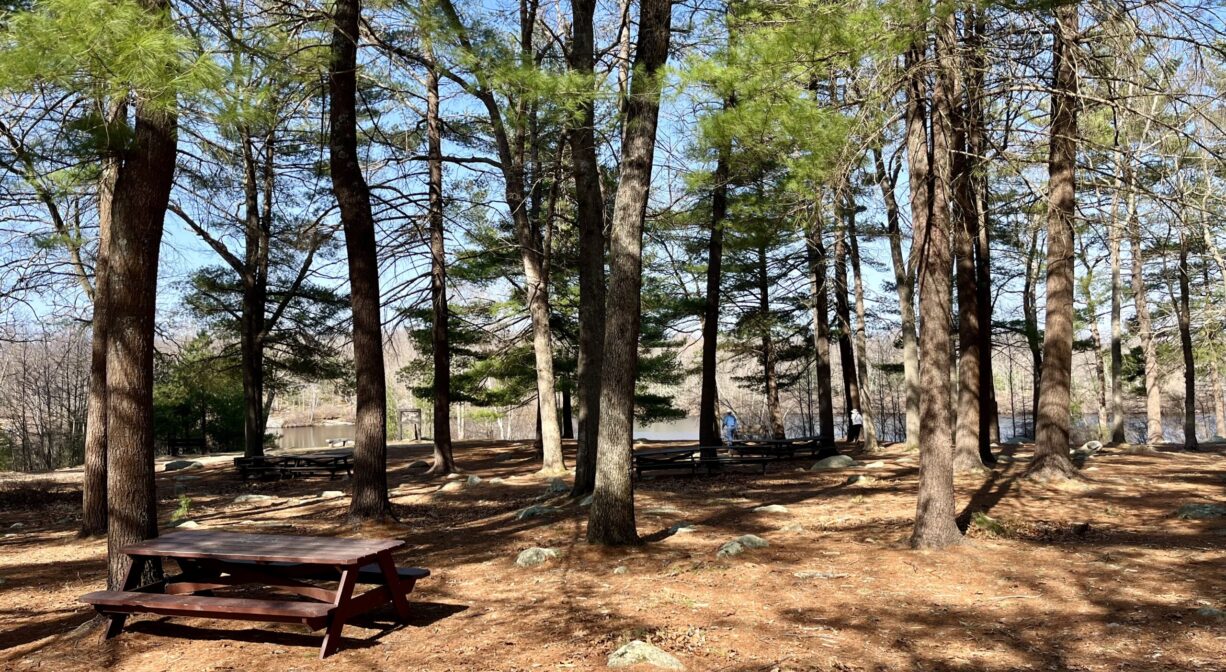
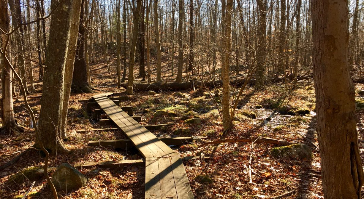
Restrooms, pavilion, picnic area with grills, ball field, fishing pier, benches, two boardwalks. Geocache location.
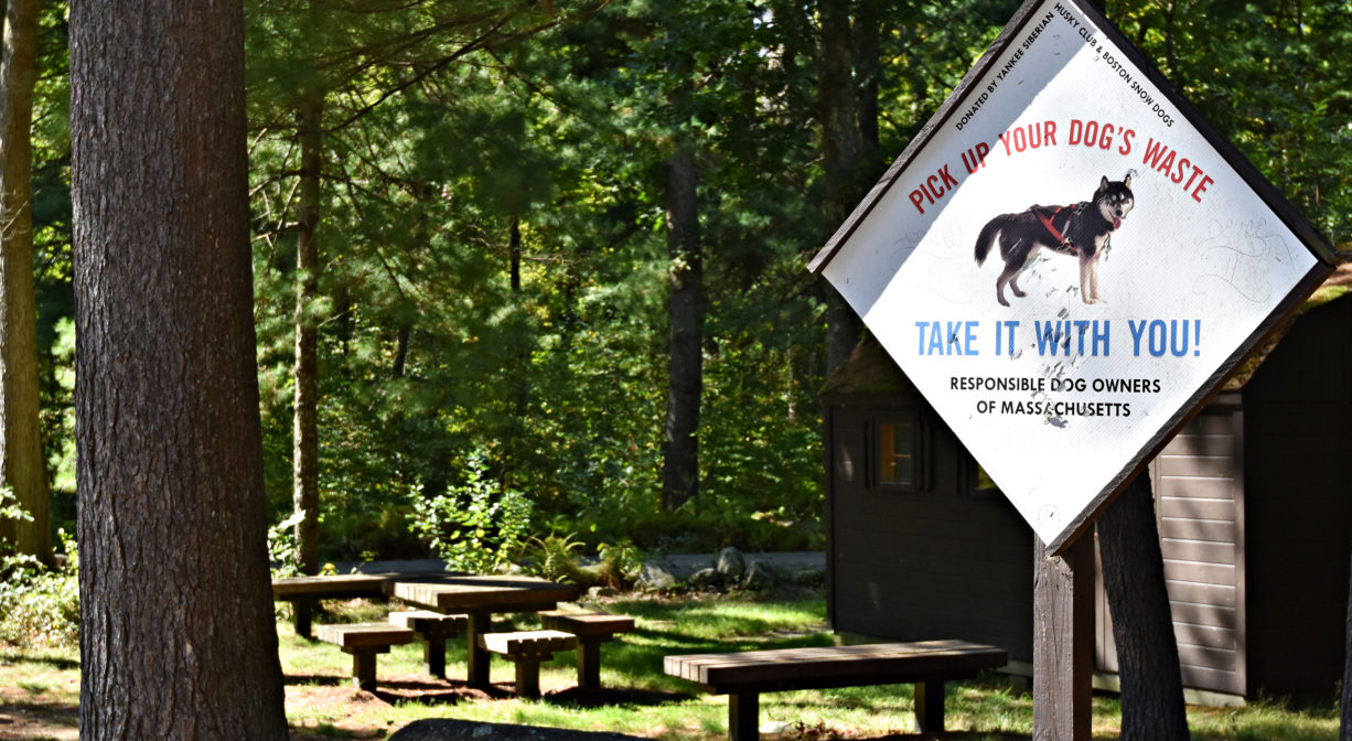
Dogs: All pets must be leashed. Always clean up after your dog!
Boat Ramp: No
ADA Access: Yes
Scenic Views: Yes
Waterbody/Watershed: Beaver Brook (Taunton River watershed)