Norwell Conservation: (781) 659-8022
Owned By: Town of Norwell
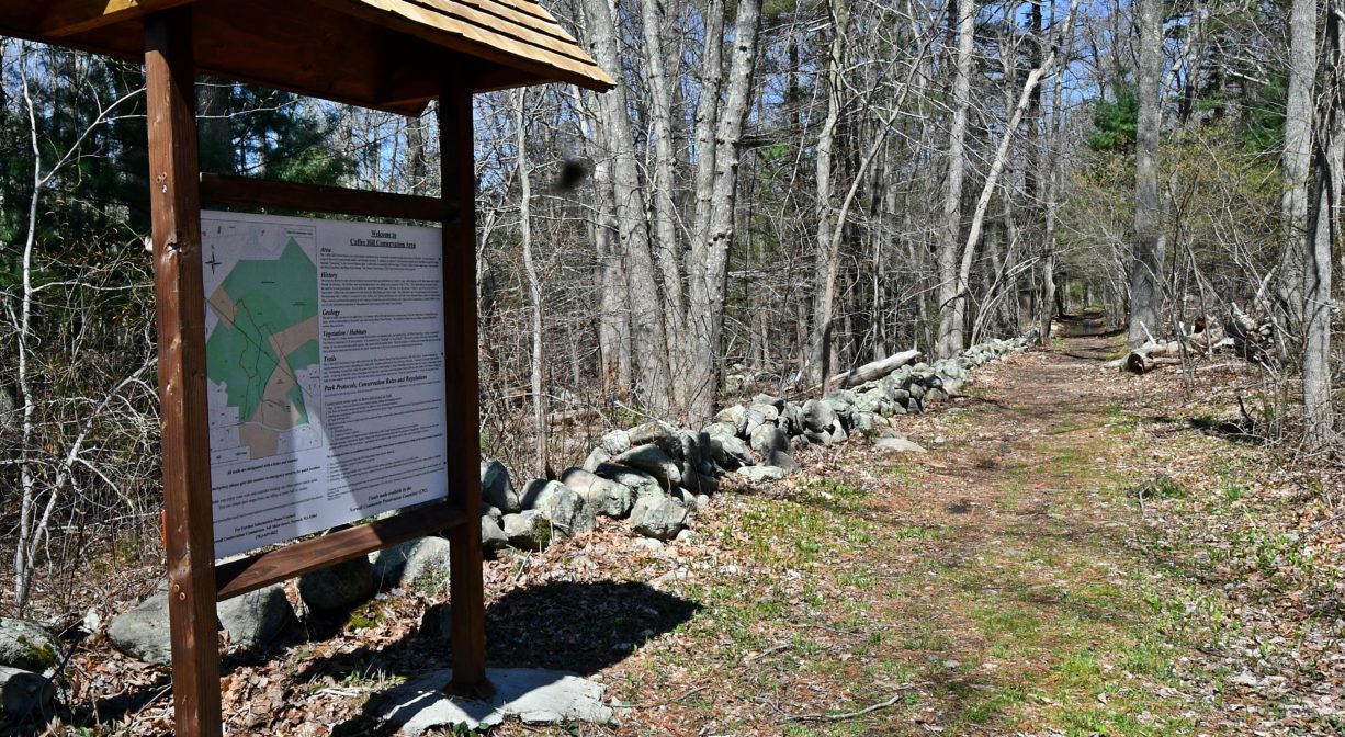
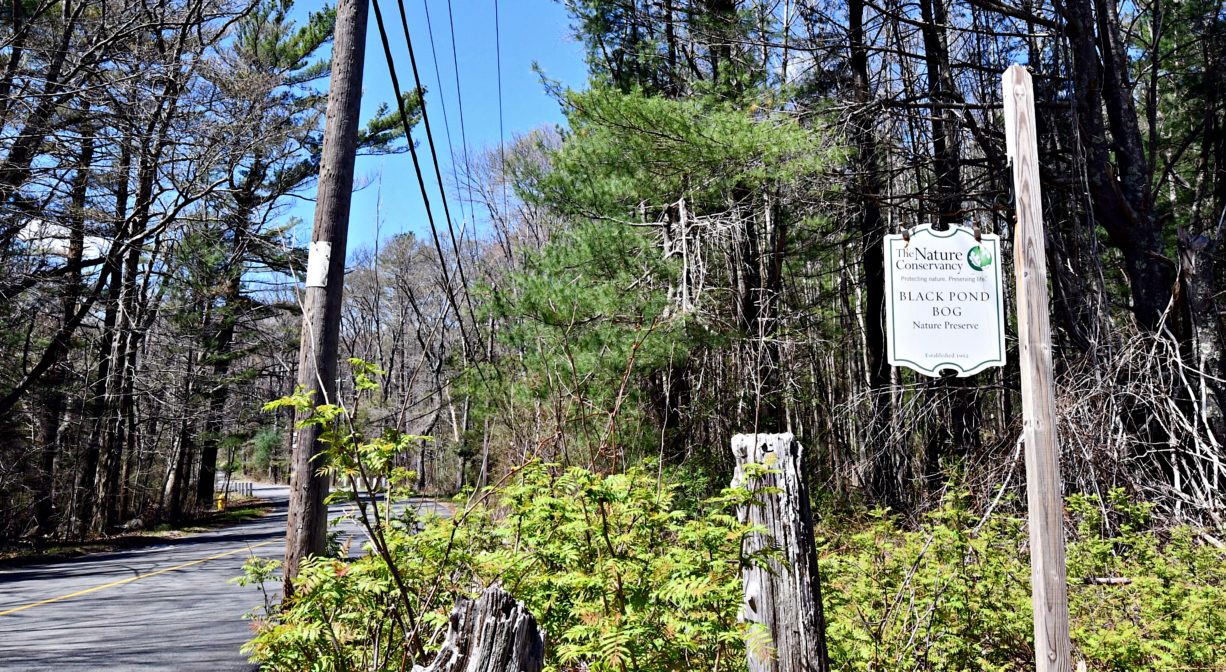
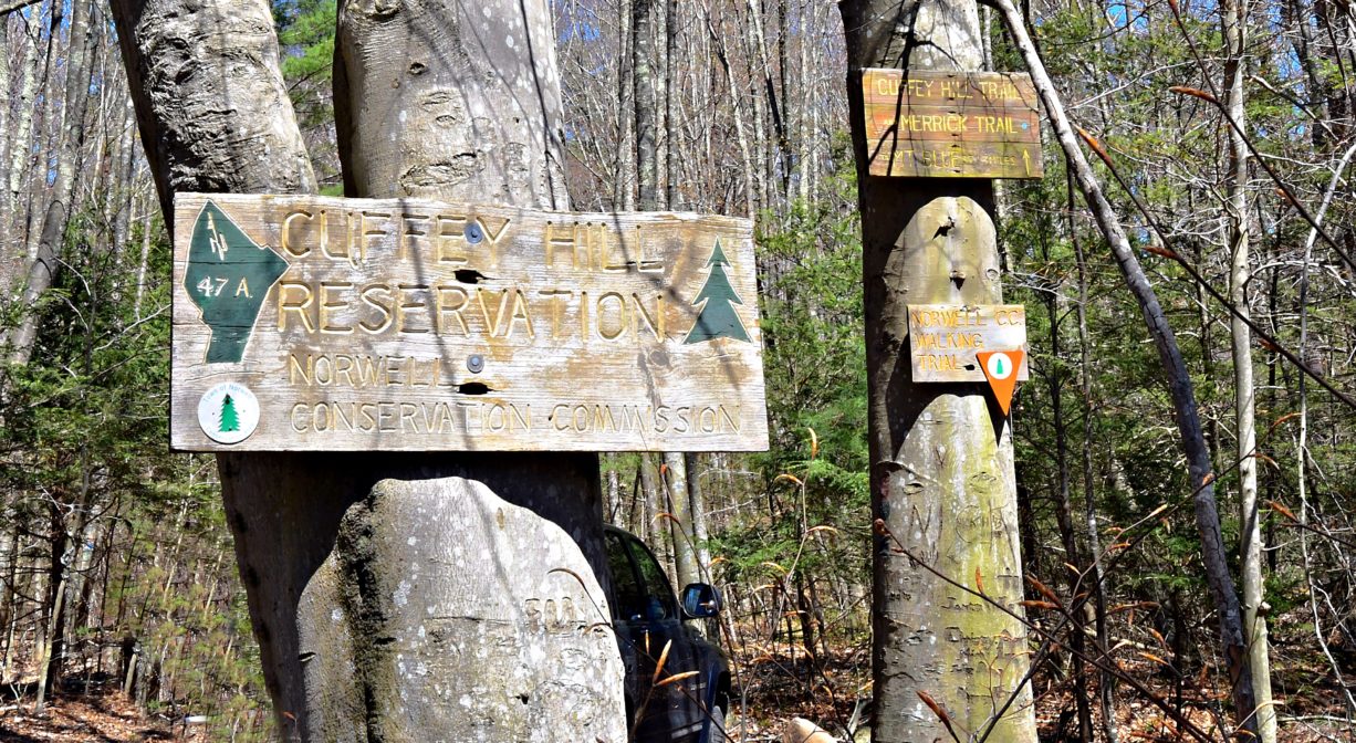
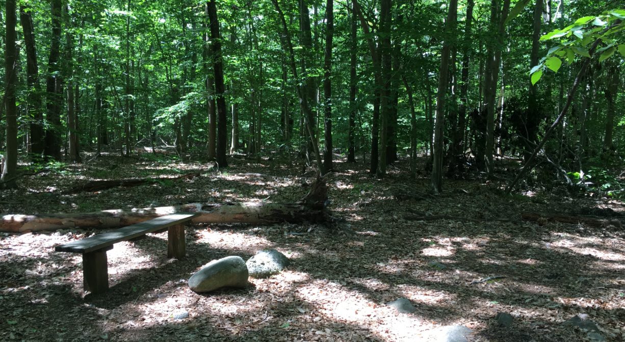
Norwell’s 350-acre Cuffee Hill Conservation Area provides access to Cuffee Hill, Black Pond Bog, Black Pond Swamp, and the the forests that surround them. The property offers more than 3 miles of trails with captivating natural and historic features, including many old stone walls. Portions of the property are owned by The Nature Conservancy.
HUNTING: Those who hold town-issued permits may use this property for seasonal hunting and trapping. Hunting is prohibited on, and across, all trails. Visit the hunting page on Norwell’s website for details. Non-hunters, be mindful of hunting seasons, and wear bright orange if you’re entering the property during those times. Hunting is not permitted on Sundays.
Features
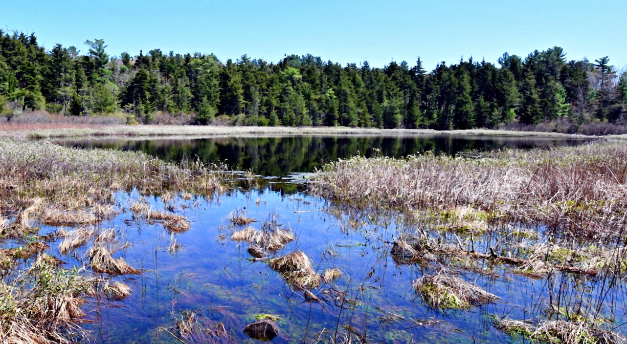
Most of the Cuffee Hill Conservation Area is owned by the Town of Norwell, but portions of it belong to the Nature Conservancy. The 83-acre Black Pond Bog Nature Preserve is one of only nine Nature Conservancy properties in Massachusetts. In 1962, it became the first of such properties in our state, thanks to a collaborative effort by local garden clubs, the Massachusetts Audubon Society, the North River chapter of the Izaak Walton League, and the Nature Conservancy. It was originally named for, and is dedicated to, William G. “Cap’n Bill” Vinal as “a class room to learn about the unity of life.” (Vinal requested that the name be changed from William Gould Vinal Nature Reservation to Black Pond Preserve.)
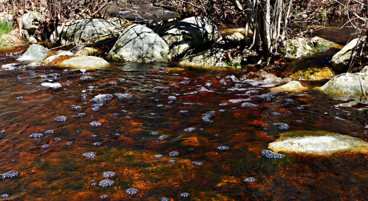
Black Pond itself is a kettle hole pond, created tens of thousands of years ago by a large chunk of melting glacier. William “Cap’n Bill” Vinal, an Emeritus Professor of Nature Education at the University of Massachusetts, published a booklet in the 1960s, entitled “A Visit to Black Pond Reservation.” In it, he explained how as the white cedar trees and other vegetation that grew around Black Pond died and decayed, they sank to the bottom, creating a layer of muck. Over time, the water became so acidic that the surrounding plants could barely make use of it. What resulted was a quaking bog.
Black Pond is surrounded by sphagnum moss. One of few plants capable of growing in such acidic conditions, sphagnum absorbs water from the air, not from the pond. As it dies and decays, it forms a layer of peat. Other plants take root in the moss and peat, creating a thick mat at the edge of the water. When you step onto a quaking bog, you can actually feel it shake!
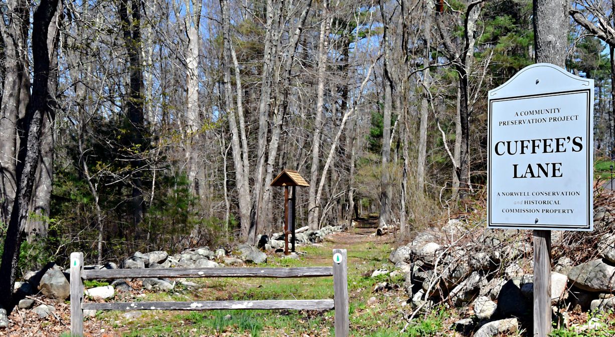
Cuffee Hill is known for its historic features as well as its natural ones. The property is named for Cuffee Lane, a historic cart path lined with stone walls that begins on Mount Blue Street and extends through the property. In the 1700s, Cuff Grandison and his wife established a farm on the property, clearing two fields and moving the rocks to the sides to build stone walls. The Grandisons were among the town’s earliest African American settlers. Their descendants, including Simeon and Charles Grandison, continued to farm the land for several generations. Members of the Grandison family served with the Green Mountain Boys in the American Revolution. The land eventually fell out of agricultural use, and the forest has since begun to regenerate. This video delves deeper into the history of Cuffee Lane and the Grandison family.
Prior the Grandisons, the land was owned by Thomas Clapp and his descendants. In 1640, Clapp received a grant of 75 acres at Black Pond from Plymouth Colony. By 1707, he had acquired additional acreage — mostly swampland. Joseph Clapp is remembered for sheltering 40 of the Acadians who were deported from Nova Scotia during the French and Indian War.
This land is within the region of the Massachusett (or Massachuseuk) Native American tribe. For thousands of years, the land today known as Norwell was inhabited by indigenous people who grew crops, foraged, hunted, and fished in the Assinippi and North River areas. Circa 1617, a major outbreak of disease decimated an estimated 90% of the native population in New England. Descendants of these original inhabitants are living here today. They are known as the Mattakeesett Tribe of the Massachusett Indian Nation, the Massachusett Tribe at Ponkapoag, the Herring Pond Wampanoag, and the Mashpee Wampanoag tribe.
The town of Norwell purchased most of the lands in the Cuffee Hill Conservation Area in 2013, creating the largest contiguous area of protected, town-owned open space in the town.
Trail Description
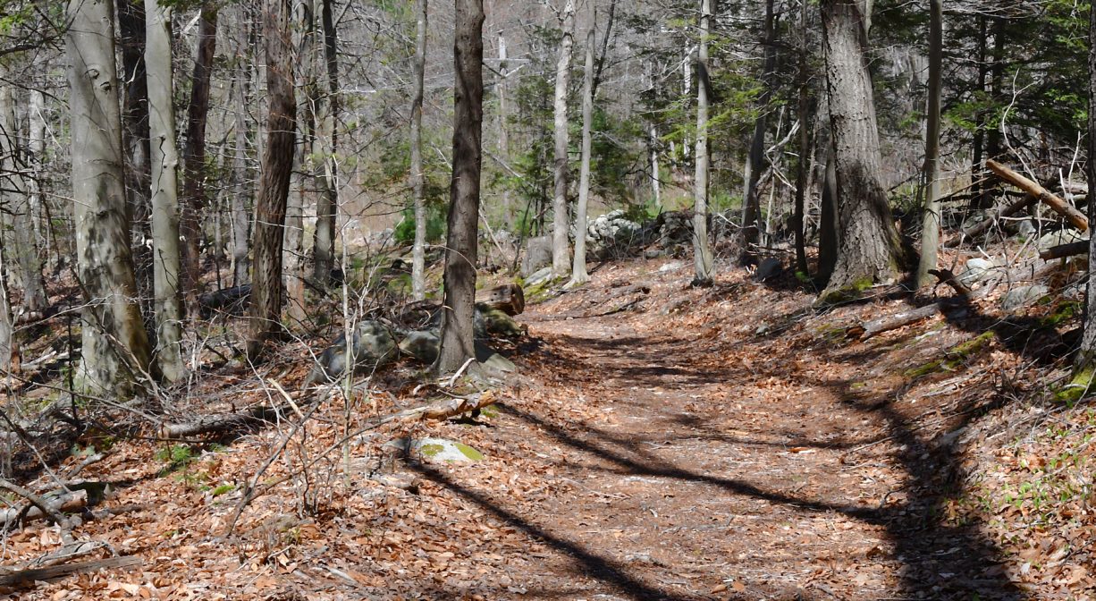
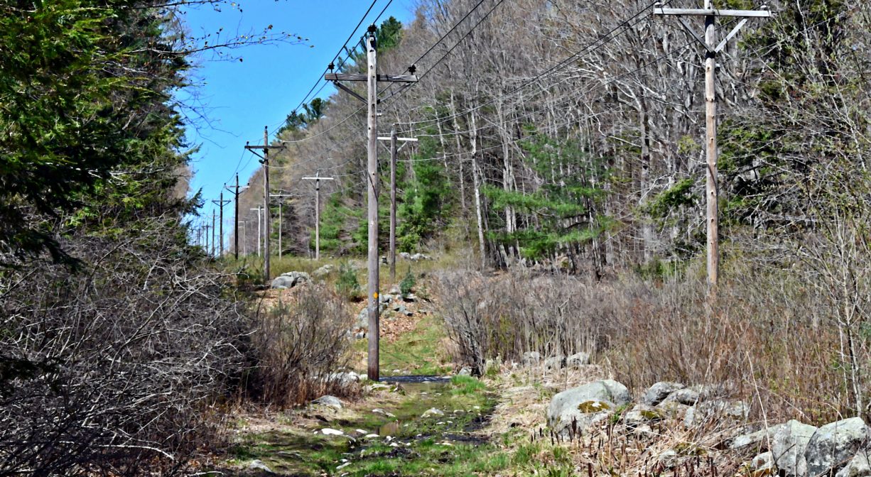
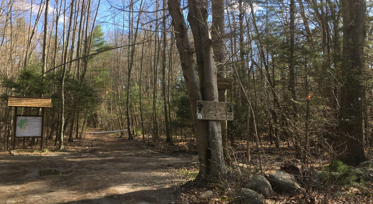
• The Cuffee Hill Trail, marked in red, begins at Mount Blue Street and passes through an eastern hemlock grove before ascending Cuffee Hill. It continues under power lines through a large beech forest and then loops back. The trail leads back to Mount Blue Street through property owned by The Nature Conservancy. The trail is rocky and uneven in many places. There are at least two spur trails off the main trail, marked in yellow, that extend toward the boundaries of the property.
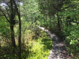
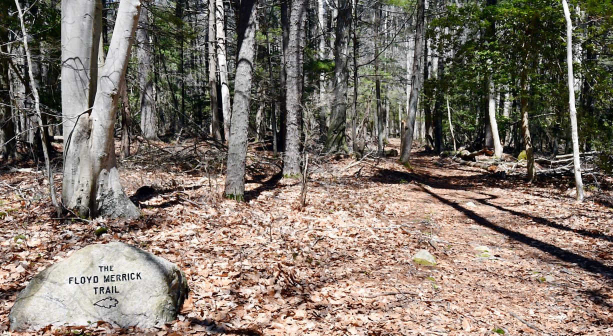
• Adjacent to The Cuffee Hill Trail, farther down Mount Blue Street, is the Merrick Trail, marked in blue, which is also a loop. The two trails come together briefly on Cuffee Hill. A boardwalk spur extends from the Merrick Trail into Black Pond Bog.
• A third trail leads from another location on Mount Blue Street, along the border of Black Pond Bog, and eventually intersects with the Merrick Trail.
• There is also a power line easement, marked in green, through the property, that intersects with all of the trails outlined above.
Habitats and Wildlife
According to the Nature Conservancy, Black Pond itself is nearly circular, with a diameter of about 100 yards. It is surrounded entirely by a quaking bog. If you visit in May, June, or July, you may be able to observe some unusual plants growing out of the sphagnum moss that surrounds the pond — the sundew and the pitcher plant. Both of these are carnivorous: they consume insects. The sundew secretes droplets of a sticky liquid. When small creatures such as gnats land on its leaves, they become immobilized. They are digested in the liquid and ultimately absorbed into the plant. The pitcher plant has a similar type of liquid, stored inside its bowl-shaped leaves. Its odor attracts insects, and after they crawl into the bowl, they find that the little hairs growing inside prevent their escape. Eventually they drown. In both cases, the insect carcasses provide essential nutrition for these plants, which would otherwise lack nitrogen.
Usually in early summer, you can view the pitcher plants and sundews, as well as wild orchids, as you walk along the boardwalk at the edge of Black Pond. You’ll also see several varieties of fern. Cinnamon fern is by far the most abundant — look for a light brown fuzz growing on the lower part of its stem. You may also find the much rarer Virginia Chain fern, as well as Royal fern. Other plants that grow in the quaking bog include sedges, cranberry, cotton grass, and heaths such as Cassandra and Andromeda.
The Cuffee Hill Conservation Area also includes a large expanse of Inland Atlantic White Cedar Swamp. This extensive wetland serves as storage for some of the town’s water supply, and is a major source of Second Herring Brook, which flows into the North River across town in the Norris Reservation. Also present on the property, some Acidic Shrub Fen, and along Black Pond Brook, some Hemlock Hardwood Swamp.
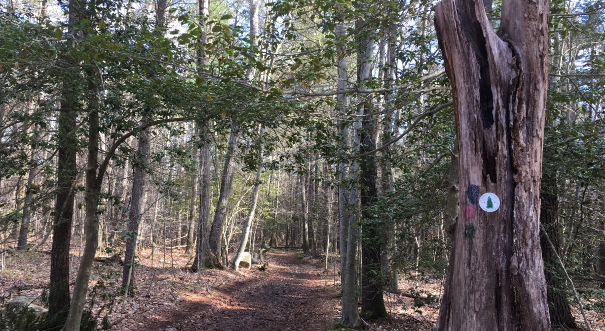
Upland forest makes up a larger portion of Cuffee Hill. There are several well-marked trails that lead through groves of pine, hemlock and beech. You’ll also see the occasional holly, and in the lowland areas, Atlantic white cedar. Some of the beech trees are quite old, and the cedars are some of the largest in our area.
Black Pond Brook flows south through the property, and eventually merges with Trout Brook, a tributary to Second Herring Brook.
Second Herring Brook originates north of Cross Street in Norwell and flows south through Turner Pond and Torrey Pond. Below Torrey Pond, it is joined by Trout Brook. Second Herring Brook continues through Norwell Center and the Norris Reservation, and then empties into the North River.


Historic Site: No
Park: No
Beach: No
Boat Launch: No
Lifeguards: No
Size: 350 acres
Hours: Dawn to Dusk
Parking: Off-street parking on Mt. Blue Street. There are 3 different places to park. Look between numbers 181 and 216.
Cost: Free
Trail Difficulty: Easy, Medium
Facilities:
Geocache location, interpretive signage, boardwalk at Black Pond Bog.
Dogs: Dogs must remain on leash. Please clean up after your pet!
Boat Ramp: No
ADA Access: No
Scenic Views: Yes
Waterbody/Watershed: Black Pond Brook (North River watershed)