
35 Mattakeeset Ct, Duxbury, MA, USA
Duxbury Harbormaster: (781) 934-2866
https://www.town.duxbury.ma.us/harbormastershellfish-constable
Owned By: Town of Duxbury
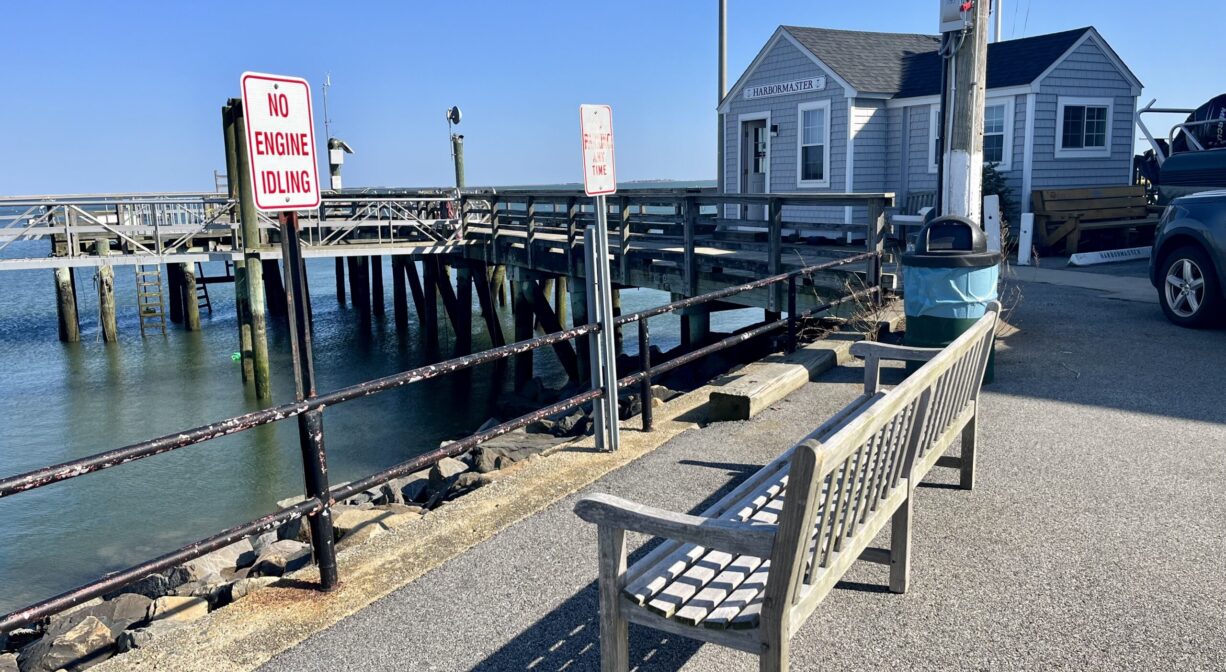
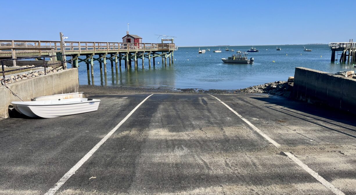
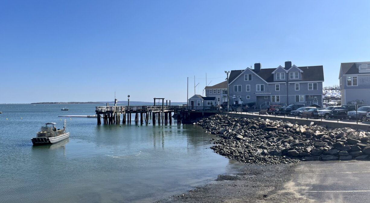
Also known as the Mattakeeset Court Town Landing, this spot is home to the Duxbury Harbormaster. Located on Duxbury Bay, between the Duxbury Yacht Club and the Duxbury Bay Maritime School. Features a public launch ramp.
Set off from here for shellfishing in Duxbury Bay. Visit the Duxbury Harbormaster’s website for information about recreational shellfishing permits.
FISHING ADVISORY: It’s important to know that some of our fisheries are contaminated with mercury, PFAS and/or other concerning substances. The Massachusetts Department of Public Health maintains an online database with up-to-date advisories regarding fish consumption, sorted by location. We recommend you consult this valuable resource when planning a fishing excursion.
Features
This land is within the region of the Patuxet Wampanoag tribe. To learn more about local Native American tribes, we encourage you to interact with their members. The Mashpee Wampanoag and the Herring Pond Wampanoag share information on their websites.
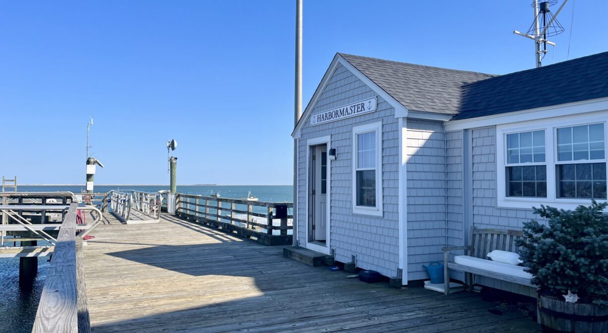
The Duxbury Town Pier is located on Mattakeeset Court. It is an access point for Clark’s Island, in Duxbury Bay. Prior to European contact, the Mattakeesets, a subset of the Massachusett tribe, were well-established in the areas around the North River and Pembroke’s ponds. According to Sheila Lynch-Benntinen’s presentation “Clark’s Island Archaeology & Some Native History,” during King Philip’s War, European settlers — fearing an insurrection — used Clark’s Island as an internment camp, capturing and imprisoning Native American boys and men. There are no records of these men after the war. It’s likely they did not survive their captivity, or were sold into enslavement.
Habitats and Wildlife
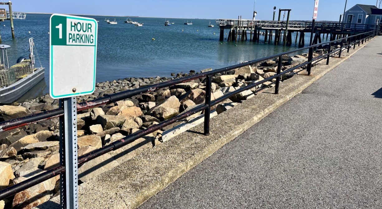
Located on Duxbury Bay.
Historic Site: No
Park: No
Beach: No
Boat Launch: Yes
Lifeguards: No
Hours: Hours vary.
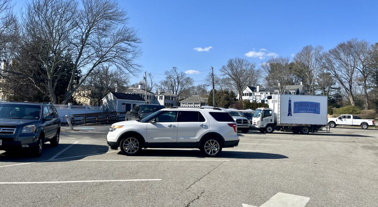
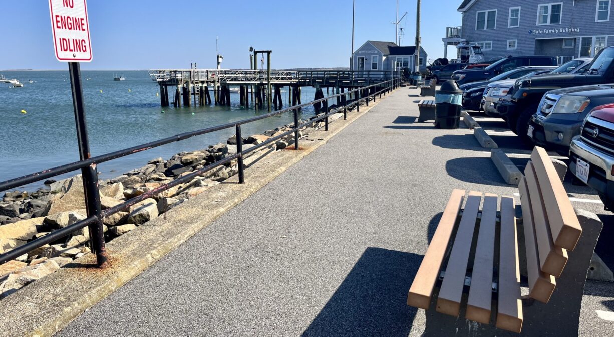
Parking: Limited on-site parking at 35 Mattakeeset Court.
Facilities:
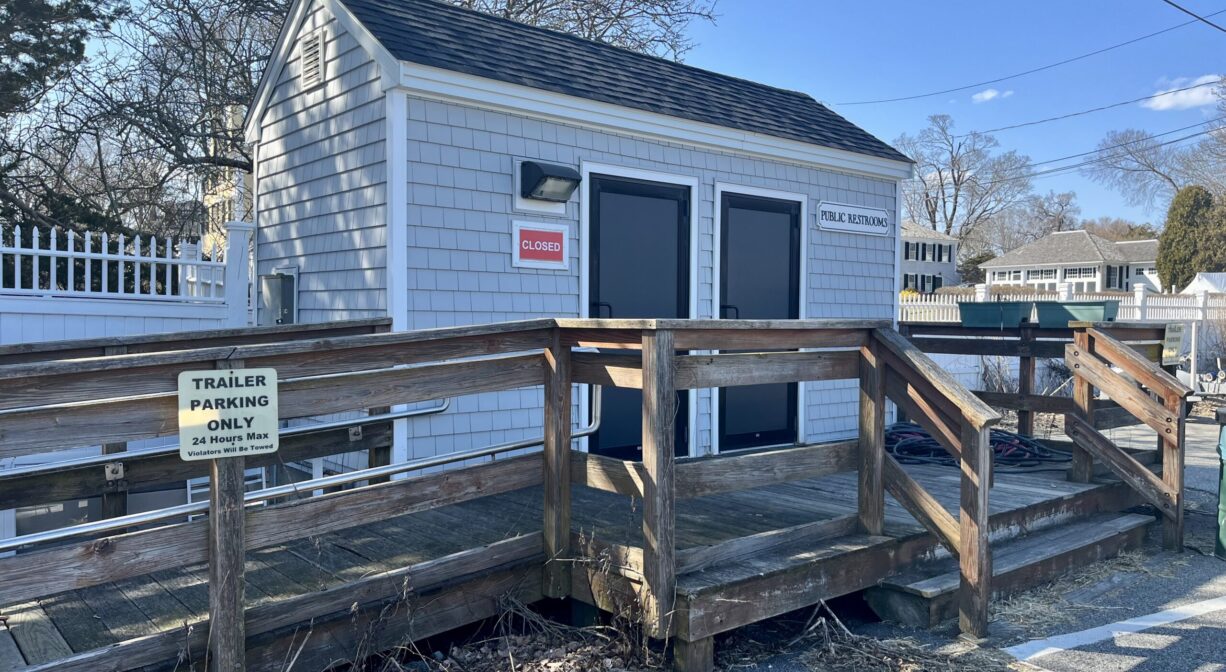
Seasonal public restrooms, public boat launch ramp, benches, trash receptacles. The launch ramp is best used at higher tides.
Dogs: Dogs must remain on leash. Always clean up after your dog!
Boat Ramp: Yes
ADA Access: Yes
Scenic Views: Yes
Waterbody/Watershed: Duxbury Bay (Atlantic Ocean)