
371-387 Mast Rd, Plymouth, MA 02360, USA
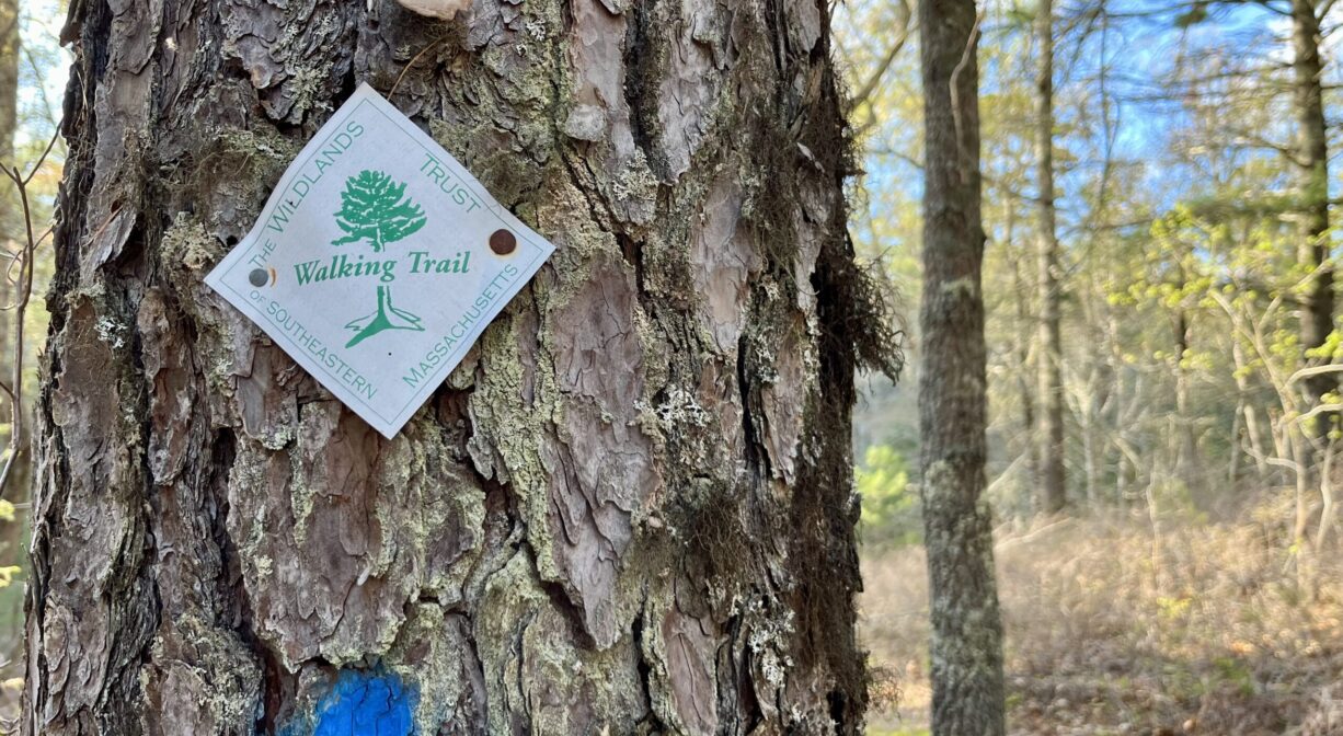
Wildlands Trust: (774) 343-5121
https://wildlandstrust.org/halfway-pond-conservation-area
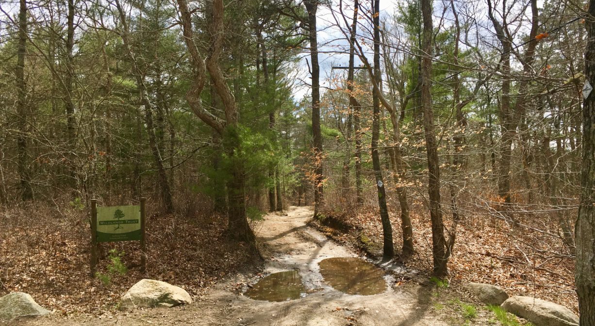
Owned By: Wildlands Trust
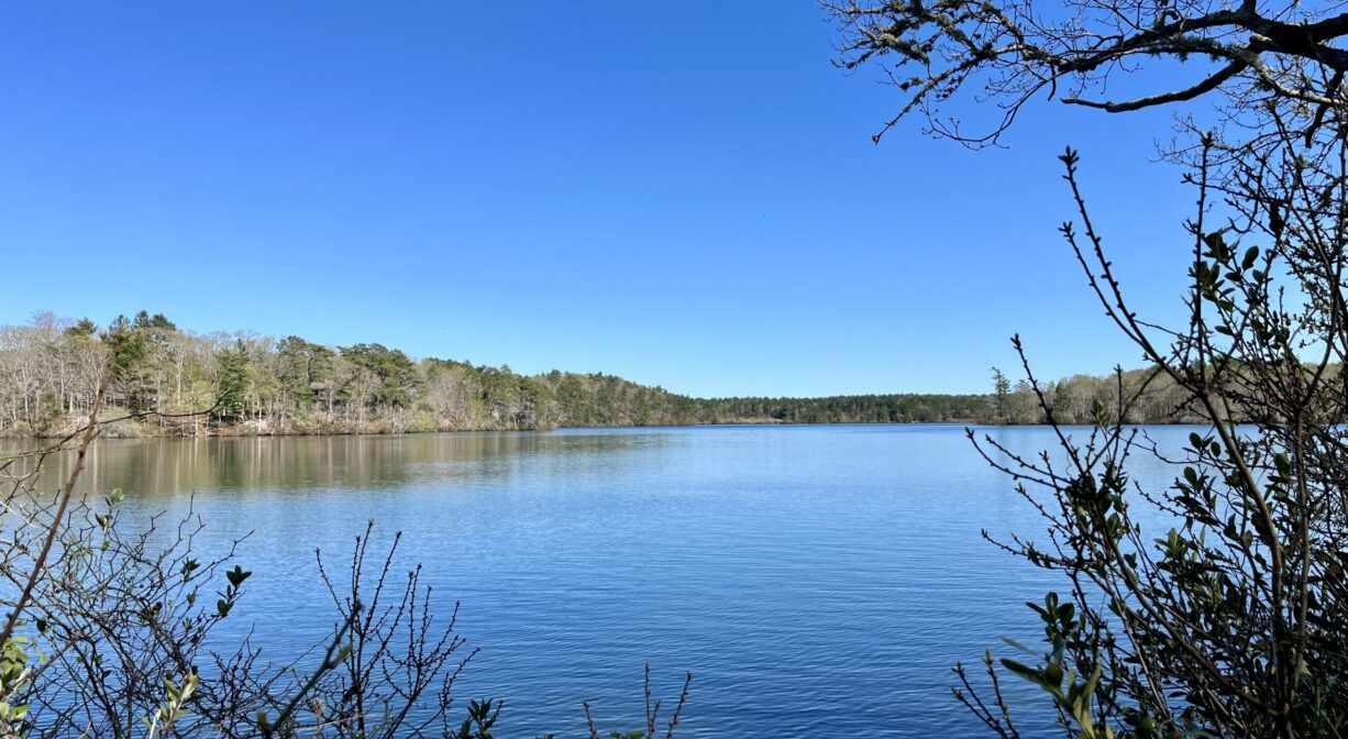
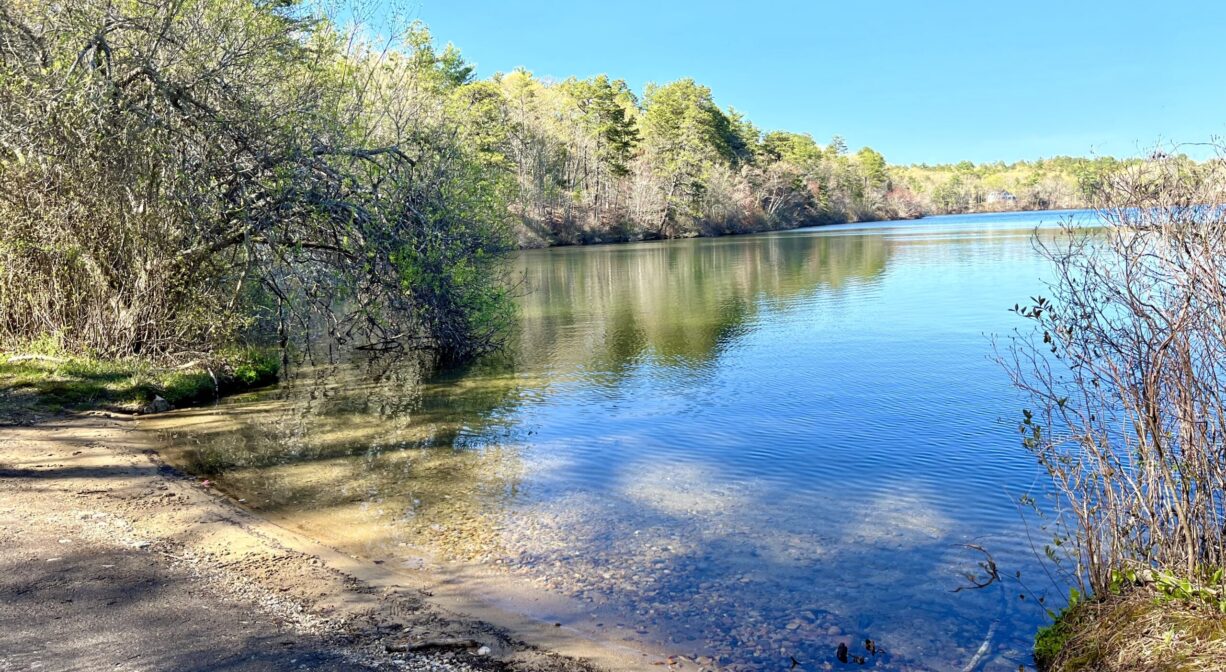
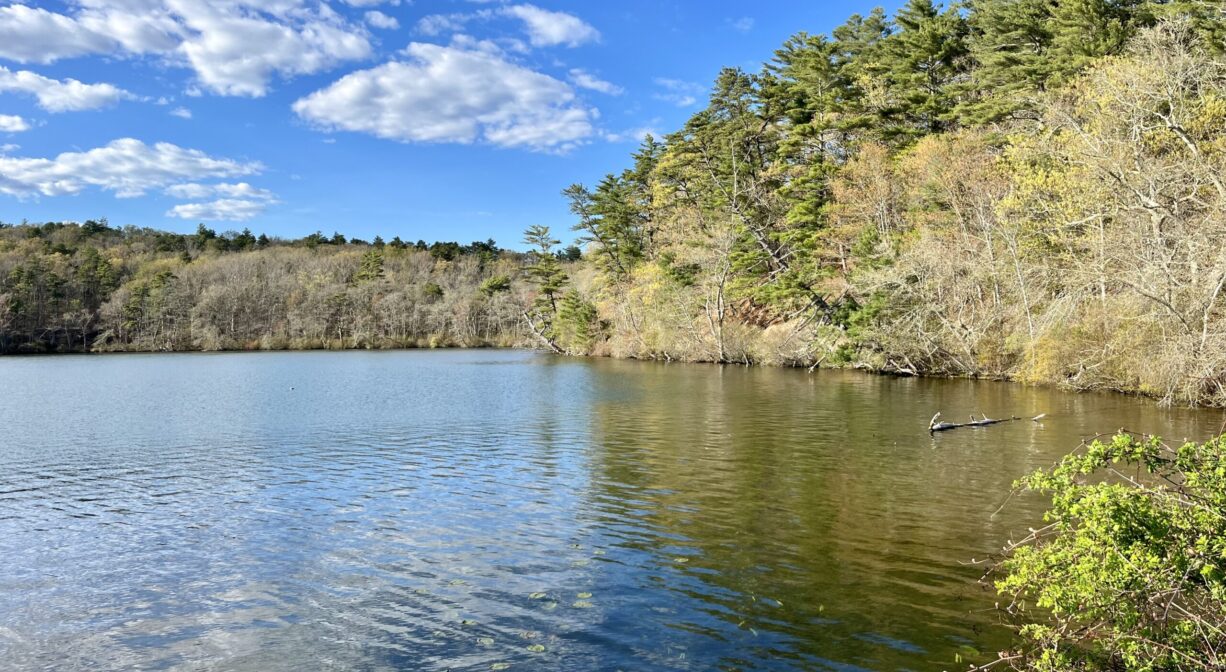
Plymouth’s Halfway Pond Conservation Area is comprised of five contiguous nature preserves, totaling 550 acres. Owned by the Wildlands Trust, it includes ponds, pine barrens, beech and mixed hardwood forests, and more than 6 miles of trails. Canoeing is permitted on Halfway Pond itself, which can be accessed from Mast Road.
Hunting is not permitted on this property.
For up-to-date information and real time trail conditions, visit wildlandstrust.org/trails
FISHING ADVISORY: It’s important to know that some of our freshwater fisheries are contaminated with mercury, PFAS and/or other concerning substances. The Massachusetts Department of Public Health maintains an online database with up-to-date advisories regarding fish consumption, sorted by location. We recommend you consult this valuable resource when planning a fishing excursion.
Features
The Wildlands Trust’s Halfway Pond Conservation Area includes five distinct, intersecting preserves: Big Point (23.4 acres), Conant-Storrow (26.7 acres), Gallows Pond (56 acres), Tayler-Touster Wildlands (61 acres) and West Shore Preserve at Halfway Pond (242.5 acres). The individual properties were acquired from 1982 to 2018 from private donors, with some assistance from The Nature Conservancy. In 2022, 30 acres of land owned by the Advaita Meditation Center were added to the preserve.
It is likely that one of the original Native American settlements in southeastern Massachusetts was located here. This land was part of Pokanoket, a Wampanoag village governed by Massasoit. To learn more about local Native American tribes, we encourage you to interact with their members. The Herring Pond Wampanoag and the Mashpee Wampanoag share information on their websites.
Trail Description
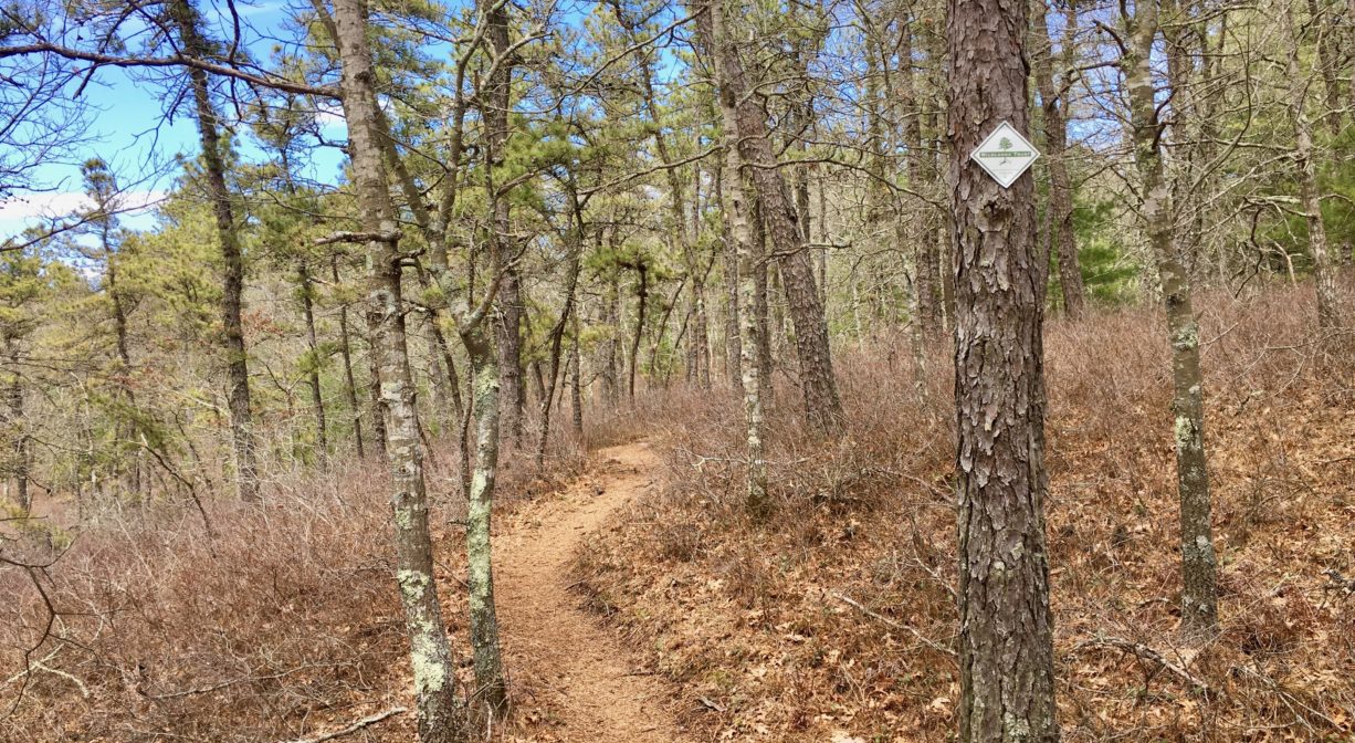
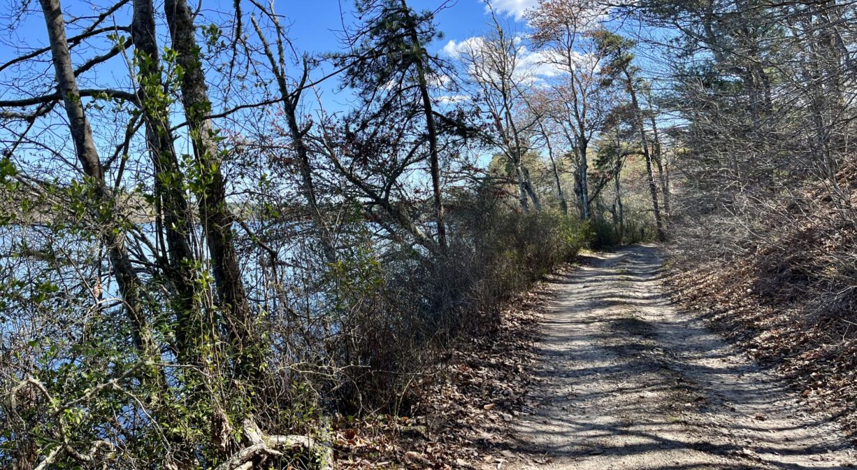
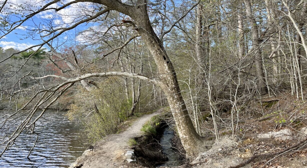
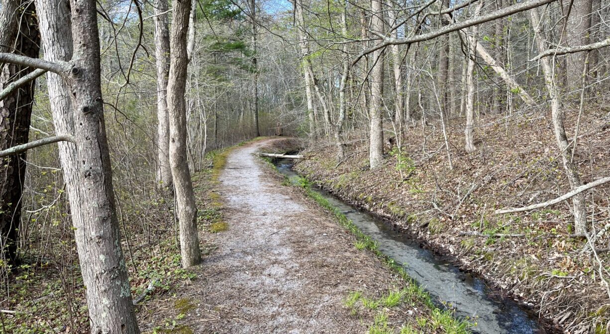
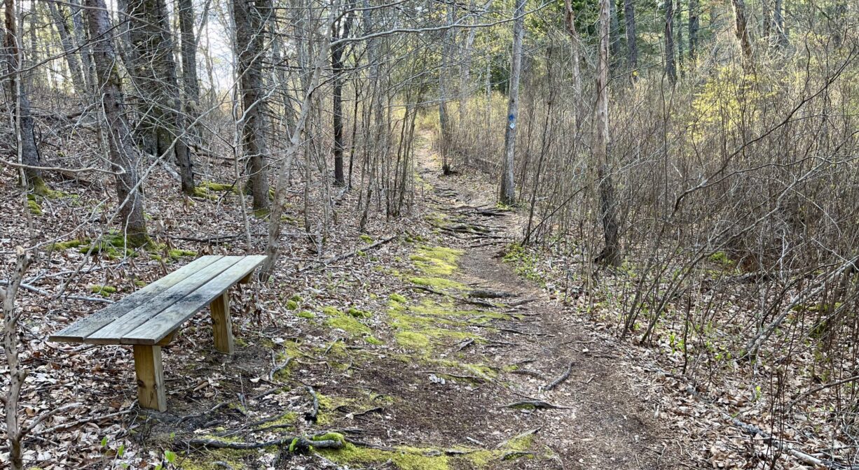
The property features an extensive network of interconnecting, well-marked trails, including 6 miles of single-track.
• Gramp’s Loop – This 2-mile loop trail through upland forest begins at the Mast Road parking area.
• Leona’s Loop – This 1.7 mile trail was added in 2022, with support from Sierra Club, REI Hingham, and Wildlands Trust volunteers. It forms a nearly 4-mile figure-8 with Gramp’s Loop.
• Gallow’s Pond Connector and Gallows Pond Road – From the Mast Road parking area, cross the street to access the Gallow’s Pond connector, which winds through a pine barren into a pine-oak woodland. Other features in this section include pond views, large glacial erratics, kettle holes and some wetlands.
• The Whippoorwill Trail is accessible from the Gallows Pond Connector as well as Gallows Pond Road. It leads through woodlands and along the edge of a swamp. Some of the white pine and beech trees here are quite large!
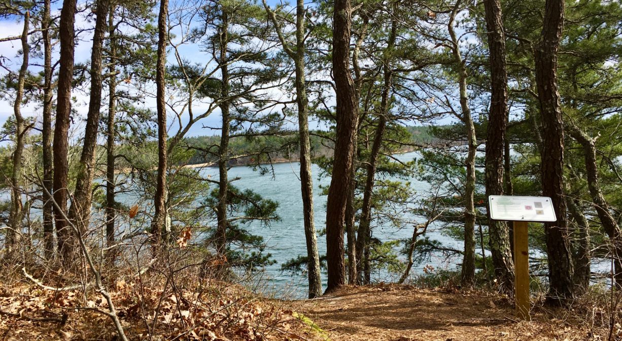
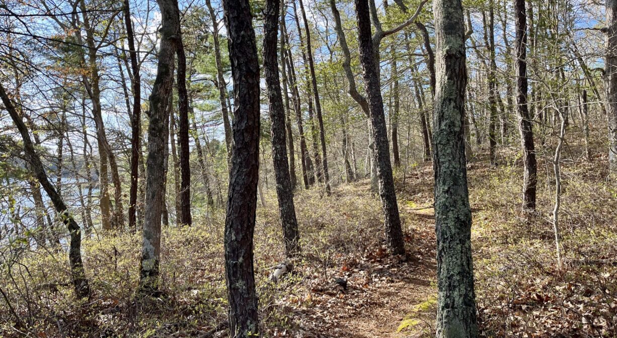
• The Big Point trail is accessible from the Whippoorwill Trail via Blackmer Hill. It offers a bluff with a elevated views of Halfway Pond, as well as the island within it and the forest beyond. A gorgeous grove of beech trees is another feature on this trail.
• The Conant-Storrow Trail leads through a forest of oak and pitch pine. Begin at the West Long Pond Road parking area to access it.
• The Blackmer Hill Trail and Joe Brown Trail both offer easy, pleasant walking through mature woodlands. They lie at the center of the preserve can be accessed eventually (but not directly) from either parking area.
• There is an unpaved road/trail that extends 2/3 of the way around the pond. You can complete the loop by following the Big Point Connector, Joe Brown, and Gallows Pond Connector Trails, for a total of about 4 miles.
Habitats and Wildlife
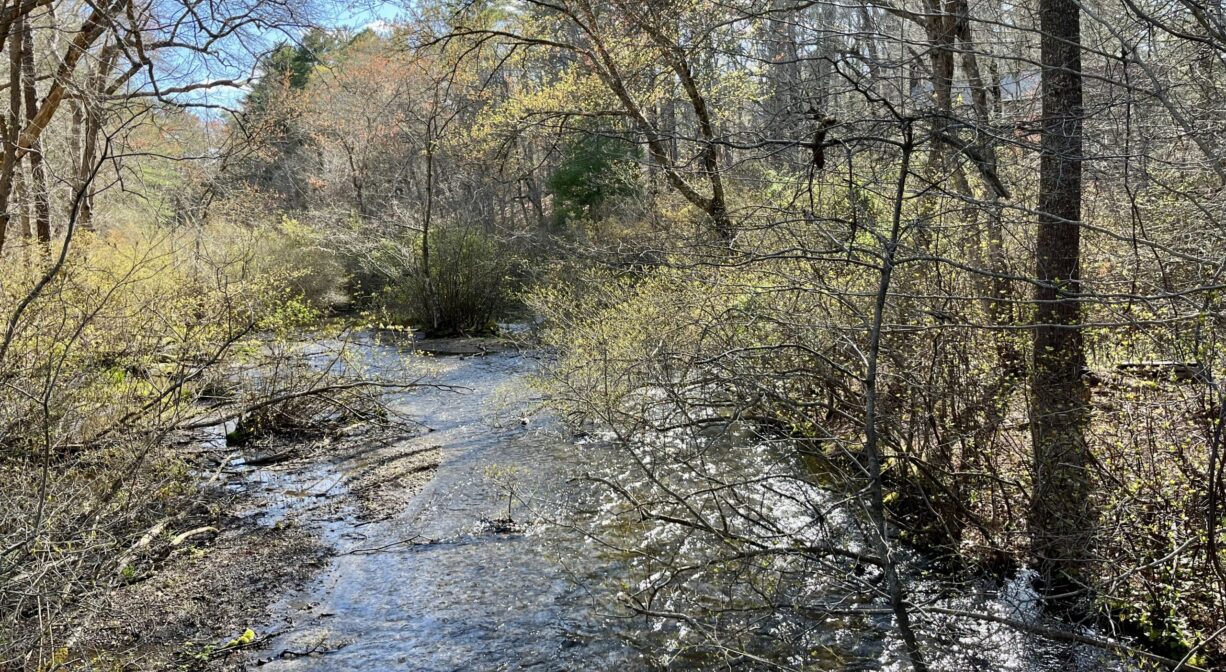
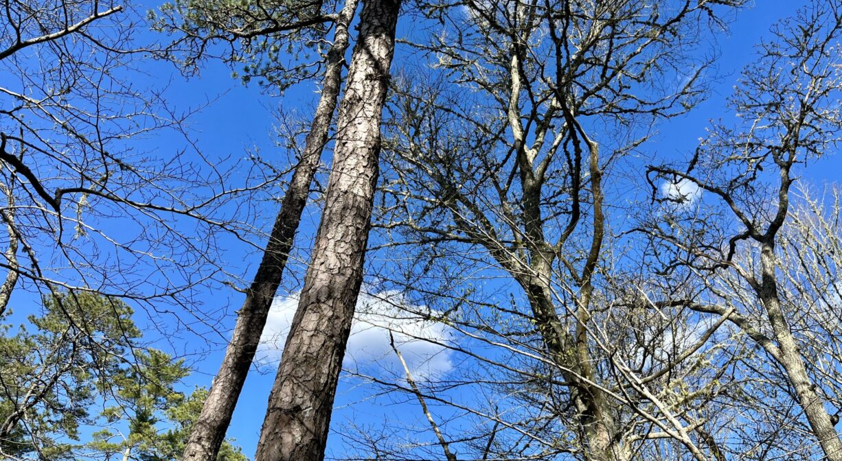
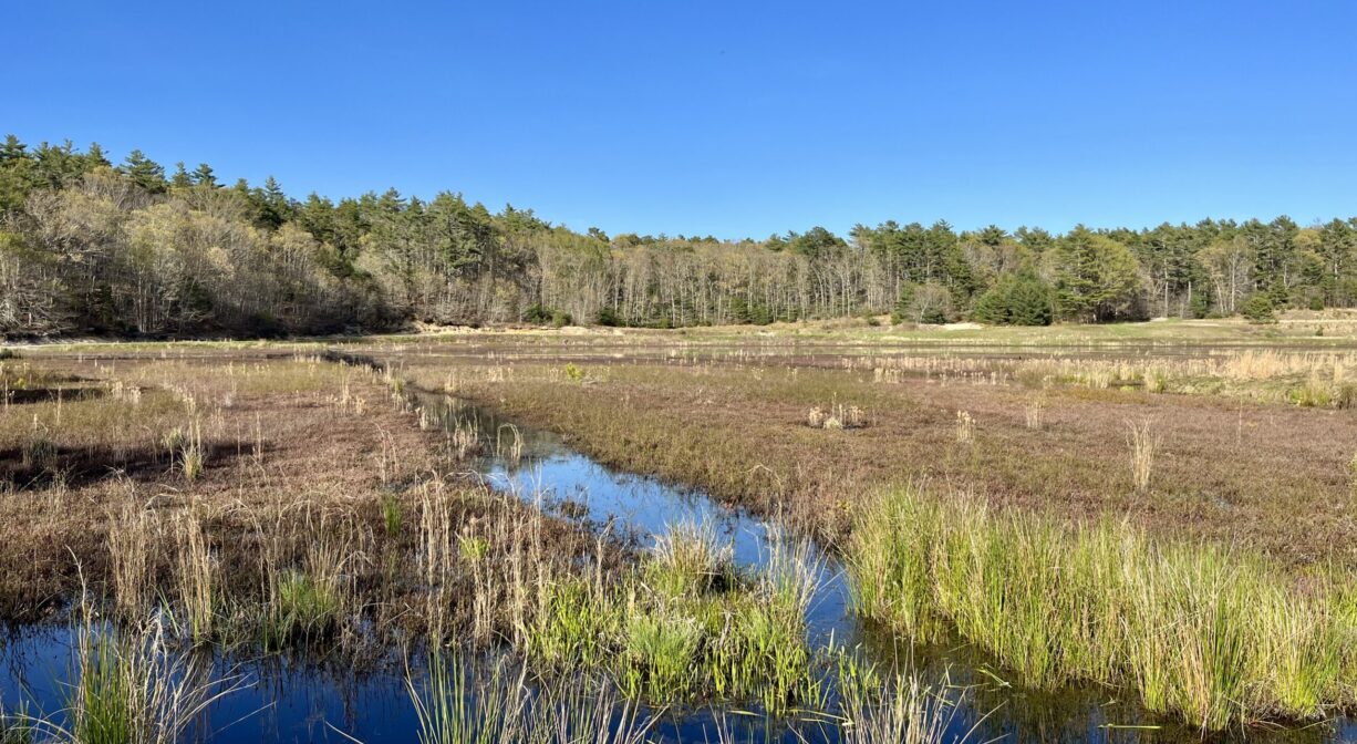
Halfway Pond is an ideal place to explore pine barrens, which are accessible from the Mast Road parking area. Pitch pine trees and scrub oaks are the primary features. Elsewhere on the property you’ll find white pine, oak, and beech trees, as well as sweet pepper bush. Look for swamp azalea and swamp rose, and numerous wildflowers.
This preserve provides habitat for the federally endangered northern redbelly cooter, formerly known as the Plymouth redbelly turtle. It is also a good location for spotting bald eagles. Listen for prairie warblers, rufous-sided towhees, and common yellowthroats. There are six different species of mussel in the 232-acre pond, along with largemouth bass, smallmouth bass, chain pickerel yellow perch, white perch, American eel, pumpkinseed, alewife herring and bluegill.
Halfway Pond is a headwater for the Agawam River watershed. The Agawam River, part of the Wareham River watershed, flows southwest for 10.7 miles through Glen Charlie Pond and East Wareham, draining into the Wareham River near Wareham center. Its active herring run dates back to 1632.
Historic Site: No
Park: No
Beach: No
Boat Launch: Yes
Lifeguards: No
Size: 550 acres
Hours: Dawn to Dusk
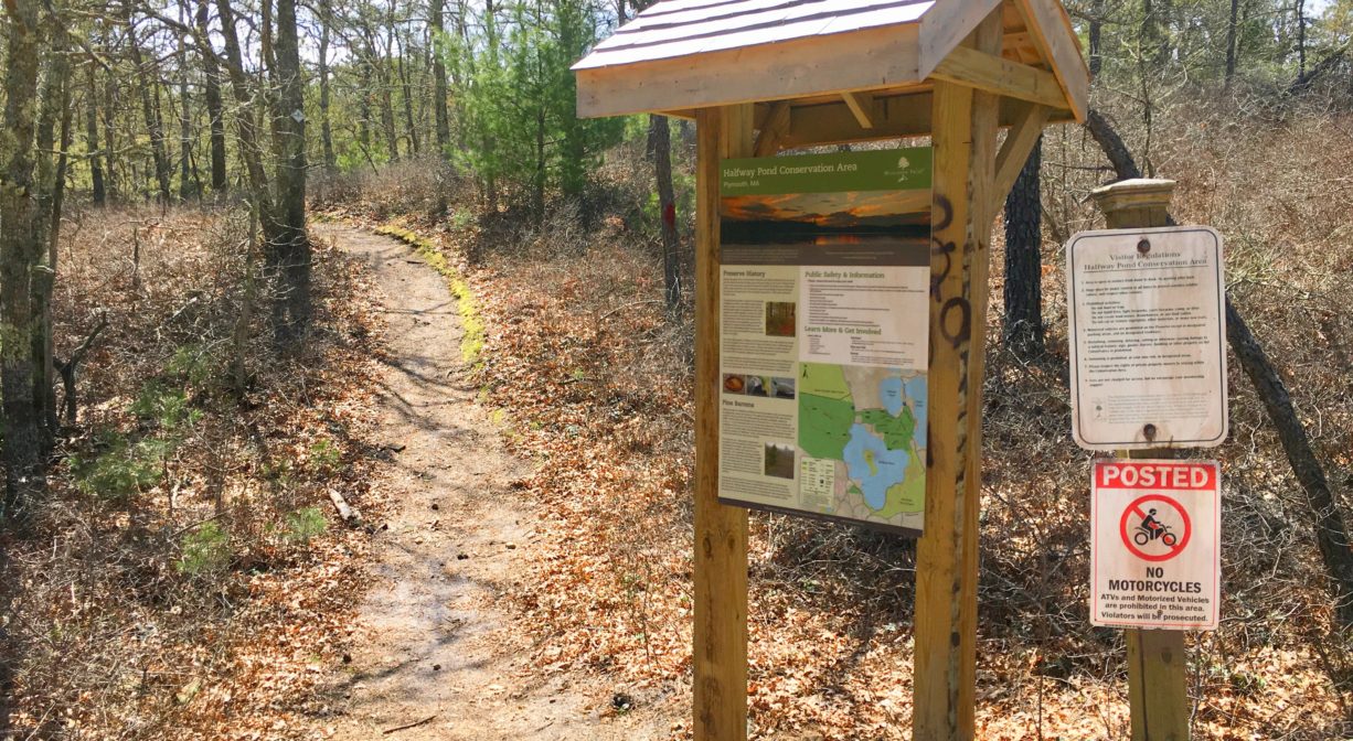
Parking: Limited on-site on both Mast Road and West Long Pond Road.
Cost: Free
Trail Difficulty: Easy, Medium
Facilities:
Benches. Informational kiosks. Geocache location. Informal boat launch areas.
Dogs: Dogs must remain on leash. Always clean up after your dog!
Boat Ramp: No
ADA Access: No
Scenic Views: Yes
Waterbody/Watershed: Wareham River watershed