
123 Park Ave, Abington, MA 02351, USA
Abington Parks & Recreation: 781-982-2125
http://www.friendsofislandgrove.com
Owned By: Town of Abington
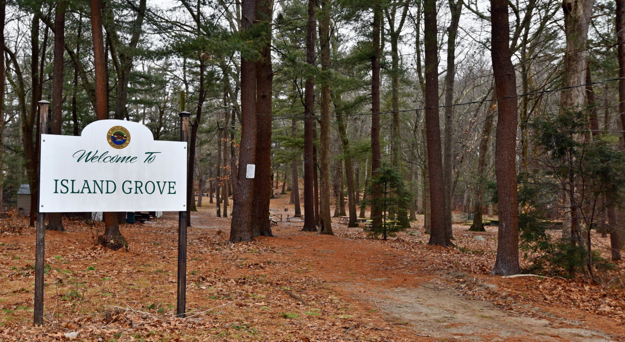
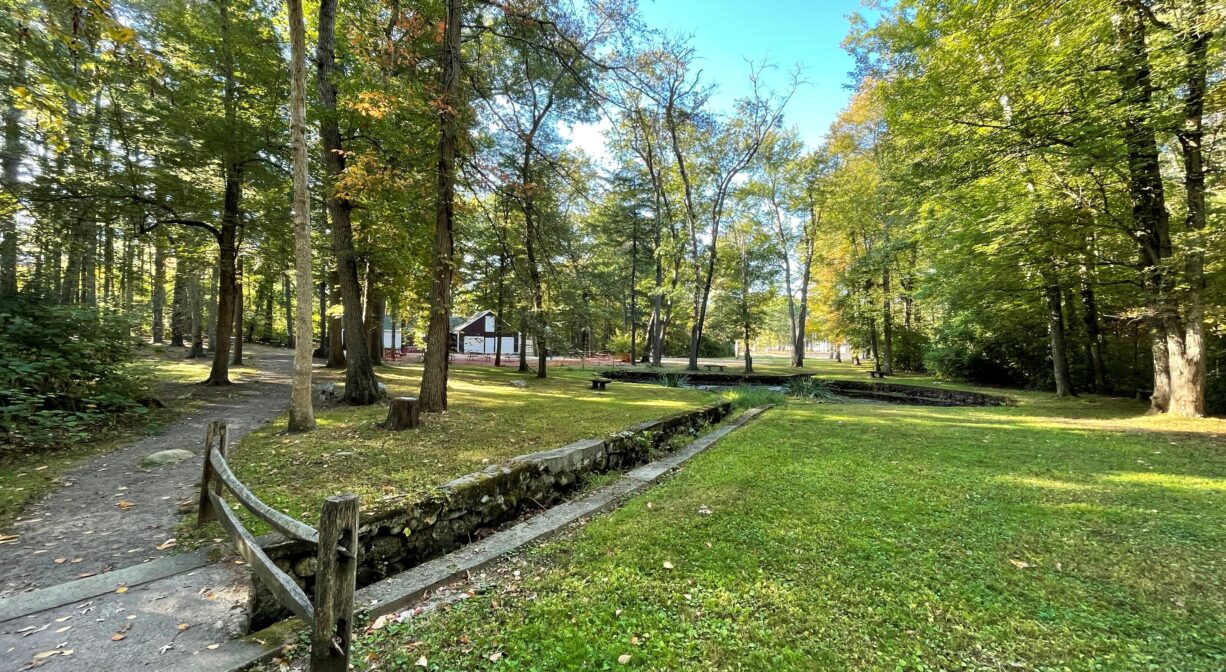
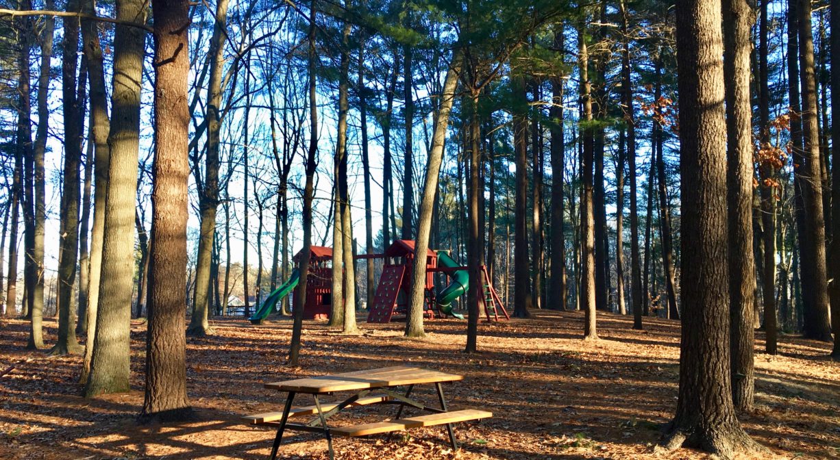
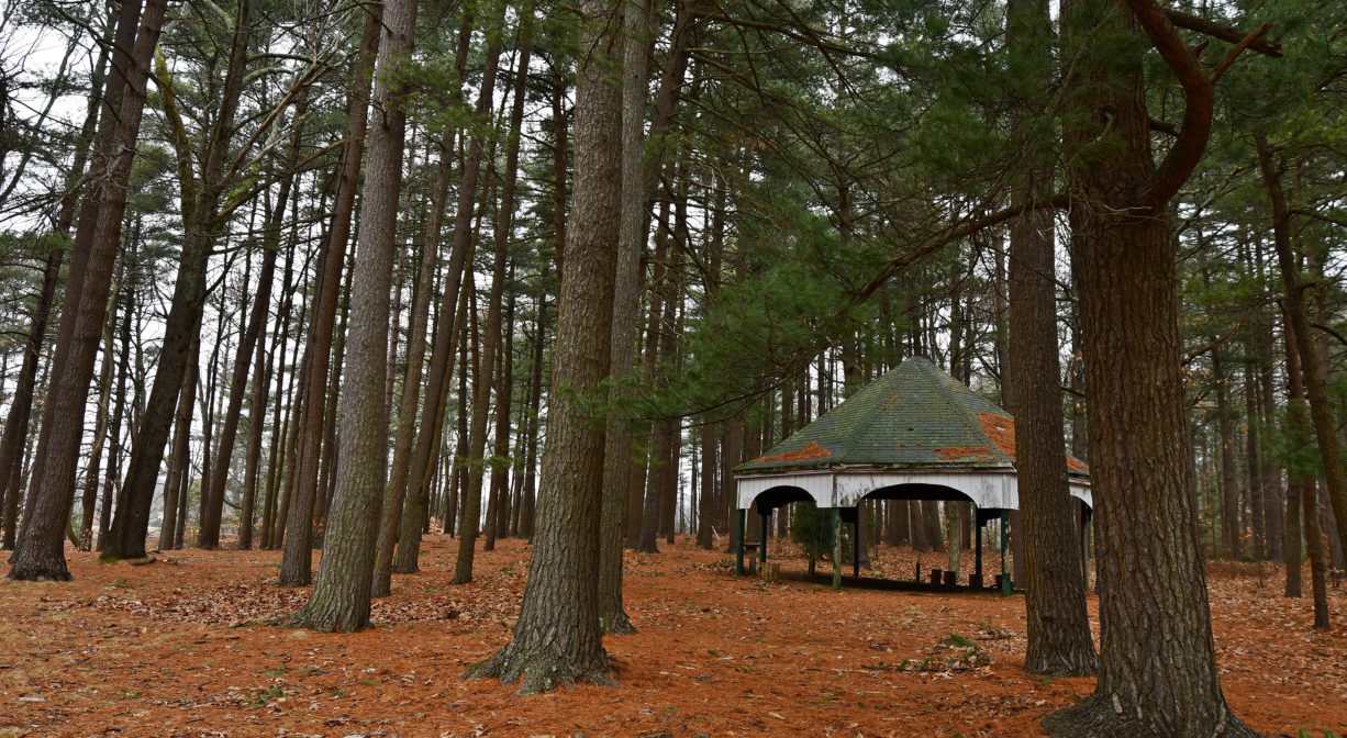
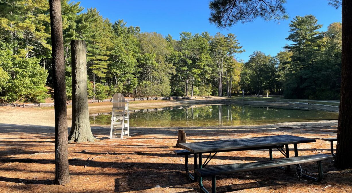
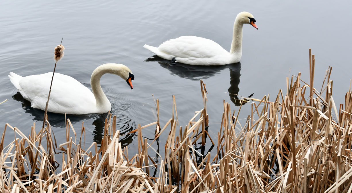
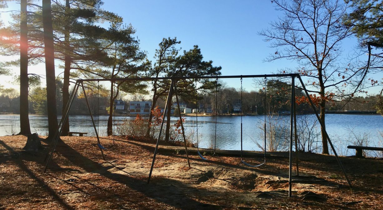
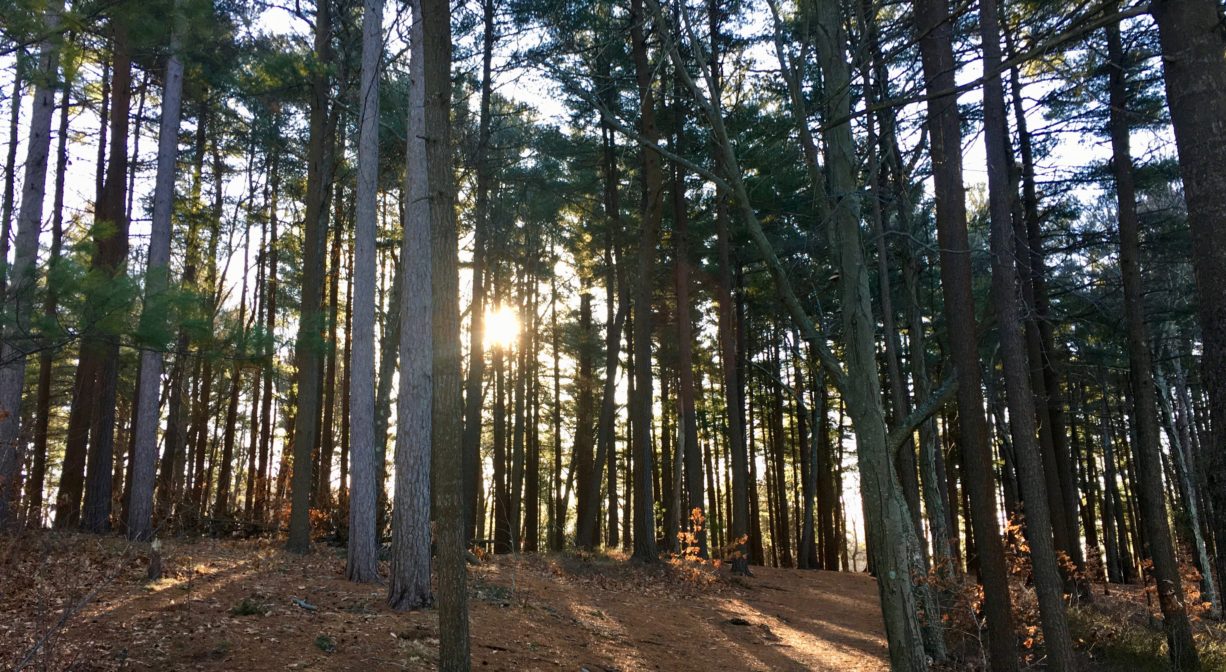
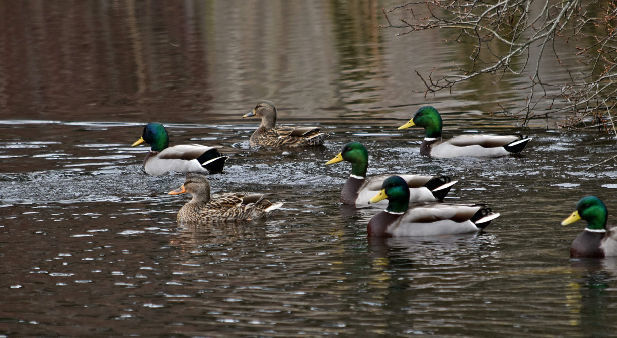
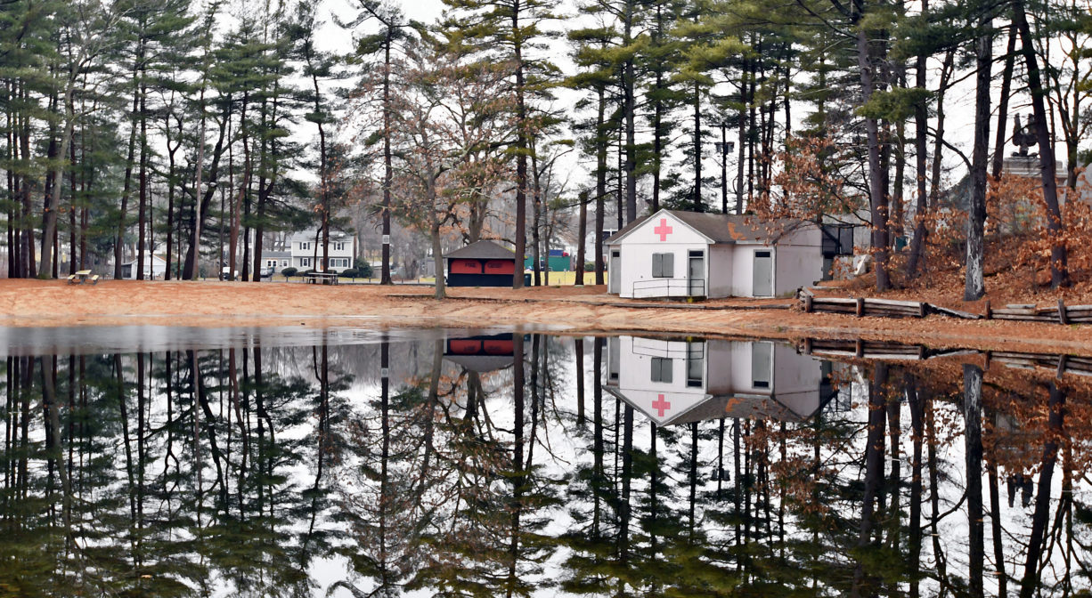
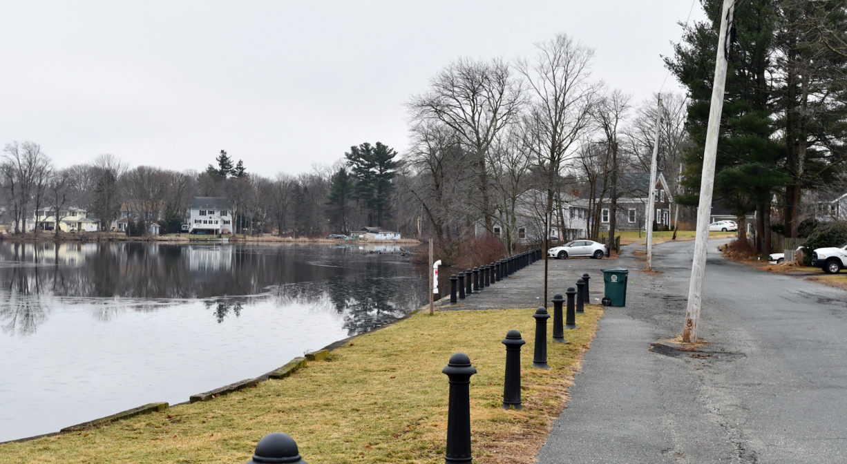
Island Grove Park in Abington, a historic 53-acre property, was the location of Abolitionist meetings in the mid-1800’s. It is located on the Shumatuscacant River, with both open and forested areas, as well as 1 mile of walking trails, swimming, fishing, ice skating, memorials, and a playground. Small non-motorized boats are permitted. Stroller-friendly in some areas.
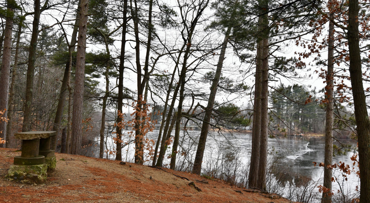
Island Grove Pond is one of the Great Ponds of Massachusetts. Defined as a natural body of water larger than 10 acres, a Great Pond is held in trust by the state for public use.
FISHING ADVISORY: It’s important to know that some of our freshwater fisheries are contaminated with mercury, PFAS and/or other concerning substances. The Massachusetts Department of Public Health maintains an online database with up-to-date advisories regarding fish consumption, sorted by location. We recommend you consult this valuable resource when planning a fishing excursion.
Hunting is not allowed on this property.
SWIMMING: Massachusetts routinely checks water quality at public swim spots and shares the data in an online database. Save this link so you can check water quality before you go.
Features
The land within this park was donated to the Town of Abington in 1882 by Bela Wilkes of Abington and Warren Wilkes of Rockland. Prior to that it was owned by Ezekiel Reed, who operated an amusement area on site. According to Martha Campbell’s Remembering Old Abington, there was a bowling alley, a dancing pavilion, and early form of a carousel, booths for food and drink, plus canoes for hire. Canoe clubs continued to be popular here in later years.
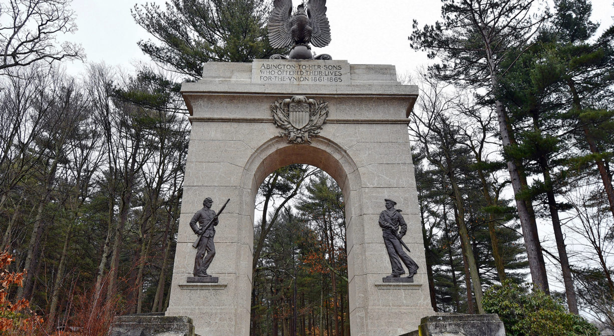
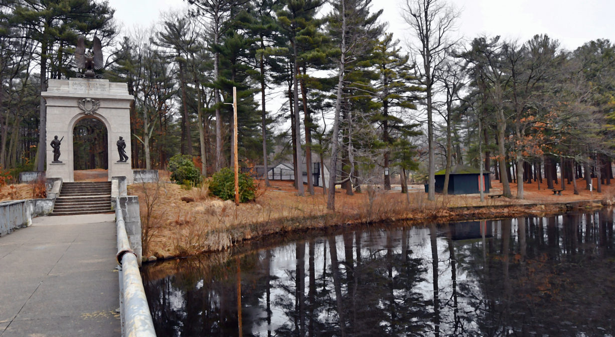
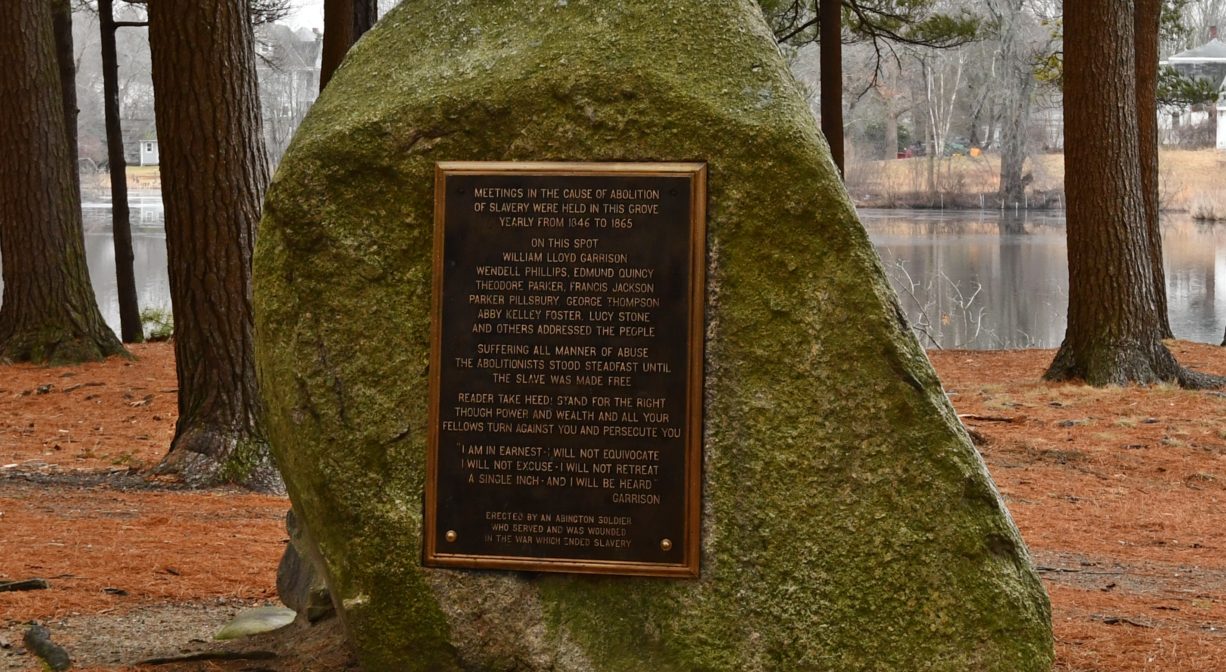
Farther back, the park was the location of the famous “August First” meeting of William Lloyd Garrison and some of his fellow abolitionists. Beginning in 1846, the meeting was held annually until 1865. According to Campbell, a special train on the newly-built railroad brought spectators down from Boston, sometimes as many as 10,000 in number! There is a monument recognizing those meetings at the center of the park.
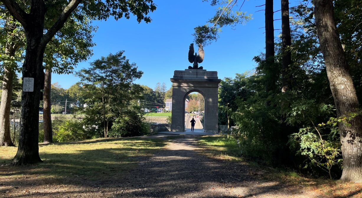
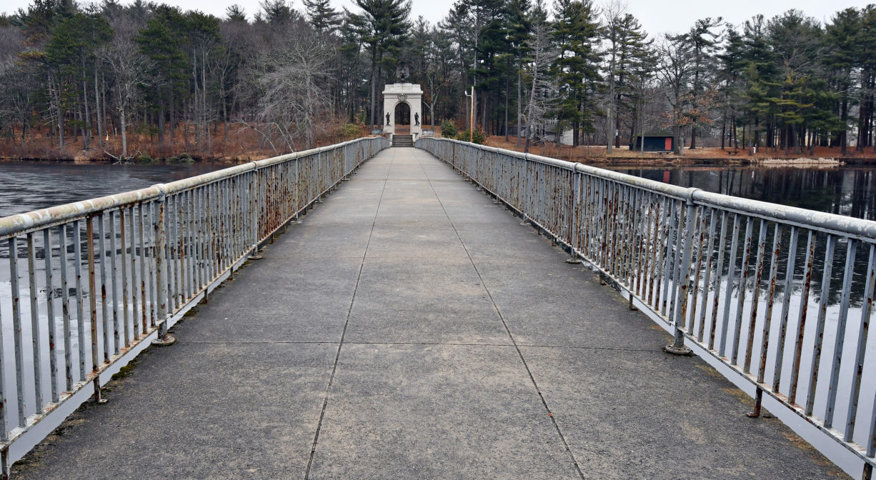
In 1912, as part of Abington’s Bicentennial Celebration, the Abington Sons of Union Veterans built the park’s Memorial Arch and Bridge in memory of the service and sacrifices of the Civil War soldiers and sailors from Abington. This bridge serves as the park’s west entrance. In 2002, Island Grove Park was named to the National Register of Historical Places.
This land is within the region of the Massachusett (or Massachuseuk) tribe. As Campbell explains in Remembering Old Abington, the original town of Abington included today’s Abington and Rockland as well as most of Whitman. In the 1660s, European settlers from Weymouth began establishing homesteads within the town. While the settlers came from Massachusetts Bay Colony, the land was part of Plymouth Colony. All of the 18 original land grants were along the Satucket Path, a trail established by Native Americans that extended from Wessagusset in North Weymouth to Robbins Pond in East Bridgewater.
Campbell also explains how the Native American name for the town was Manamooskeagin, translated from the Algonquin as “great green place of shaking grass.” The Abington town seal incorporates its Algonquian name. To learn more about local Native American tribes, we encourage you to interact with their members. The Mattakeeset band of the Massachusett and the Massachusett tribe at Ponkapoag share information on their websites.
Trail Description
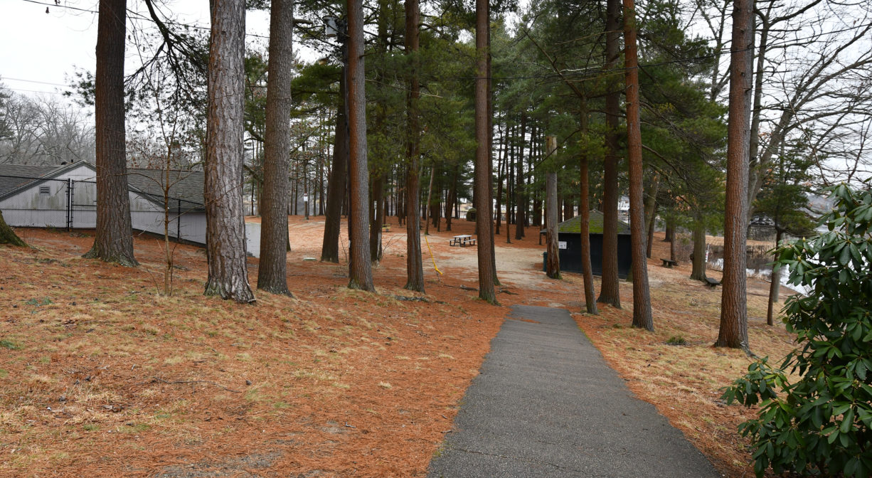
About 1 mile of wide woodland trails, some lined with gravel. Mostly flat with the occasional moderate slope. A concrete walkway, with railings, provides passage across the river.
Habitats and Wildlife
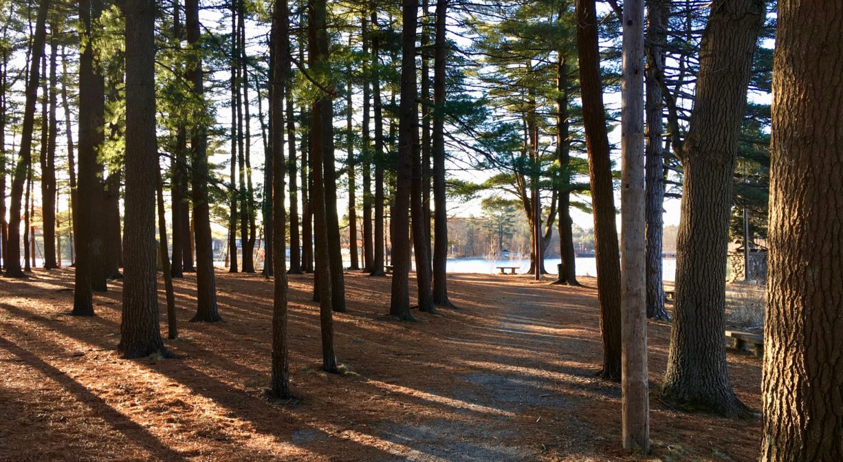
The forest is mostly pine and oak, with beech and hemlock, and very little understory. The 35-acre impoundment (pond) was created when the Shumatuscacant River was dammed in 1700.
The Shumatuscacant River flows for 8.8 miles through Abington and Whitman. In Hanson’s Poor Meadow Brook Conservation Area, it joins with Poor Meadow Brook. The stream continues to Robbins Pond in East Bridgewater, where it empties into the Satucket River, part of the Taunton River watershed.
The word “Schumatuscacant” has been translated from the Algonquin as “beaver stream with the stepping-over place.” It originally referred to a specific spot on the Satucket Path where the river could be crossed easily. A similar word, “Schumacastcacut,” has been translated as “beaver stream always dependable.”
We encourage you to follow and support the Taunton River Watershed Alliance.

Historic Site: No
Park: Yes
Beach: Yes
Boat Launch: Yes
Lifeguards: In season.
Size: 53 acres
Hours: Dawn to Dusk
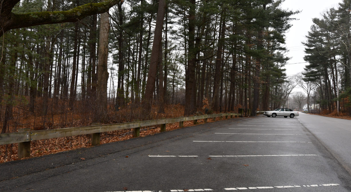
Parking: Ample on-site parking on Park Street. Additional (and wheelchair accessible) parking on Wilson Place.
Cost: Free. Swimming requires an additional fee.
Trail Difficulty: Easy
Facilities:
Picnic area, gazebo, benches, playgrounds, a seasonal sandy-bottomed pool, receptacles for fishing line, trash, and dog waste. Geocache location.
Dogs: Dogs must remain on leash. Always clean up after your dog!
Boat Ramp: No
ADA Access: Wheelchair-accessible in some areas.
Scenic Views: Yes
Waterbody/Watershed: Shumatuscacant River (Taunton River watershed)