
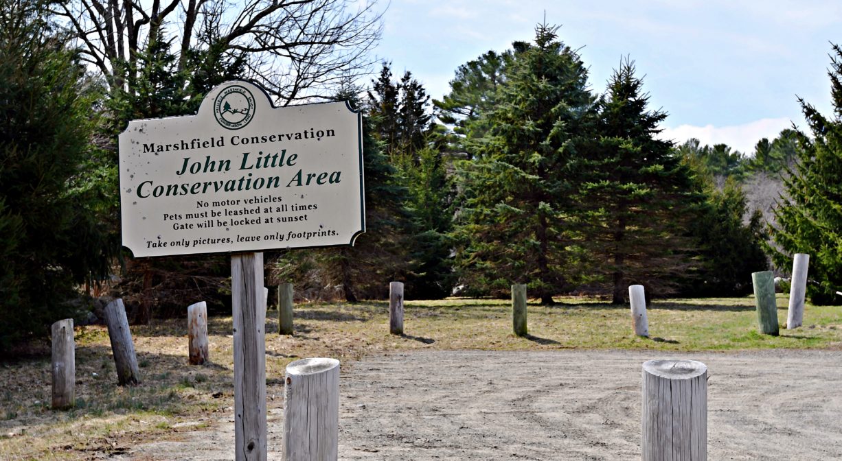
John Little Conservation Area, Union St, Marshfield, MA 02050, USA
Marshfield Conservation: (781) 834-5573
Owned By: Town of Marshfield
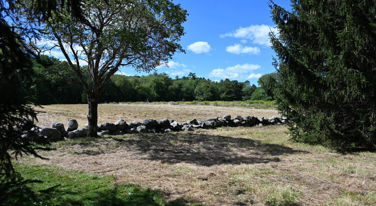
Marshfield’s 75-acre John Little Conservation Area features pasture, forest, and salt marsh, along with some gorgeous views of the North River. Along the 1.5 miles of hillside trails, old stone walls and cart paths offer a glimpse of the property’s agricultural past. A dock provides access from the water.
Hunting is not allowed at John Little Conservation Area, or at any of Marshfield’s other conservation properties.
FISHING ADVISORY: It’s important to know that some of our freshwater fisheries are contaminated with mercury, PFAS and/or other concerning substances. The Massachusetts Department of Public Health maintains an online database with up-to-date advisories regarding fish consumption, sorted by location. We recommend you consult this valuable resource when planning a fishing excursion.
Features
The John Little Conservation Area was established in 2009. Community Preservation funds purchased an initial 25 acres. The following year, new CPA funding permitted the acquisition of an additional 49.8 acres.
Driving through North Marshfield today, it’s easy to imagine the village’s agricultural past. Many open fields and stone walls remain, as well as the occasional working farm. The John Little Conservation Area was named for the family who operated a dairy farm there. Jack and Grace Little’s Little Jersey Farm offered milk and cream from the 1930s to the 1950s. Jack’s son Christopher still operates the family farm, on the parcel he retains, across the street, raising cattle for beef.
This land is within the region of the Massachusett (or Massachuseuk). To learn more about local Native American tribes, we encourage you to interact with their members. The Mattakeeset band of the Massachusett and the Massachusett tribe at Ponkapoag share information on their websites.
Trail Description
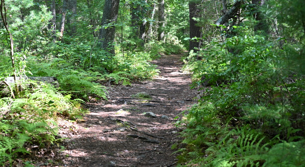
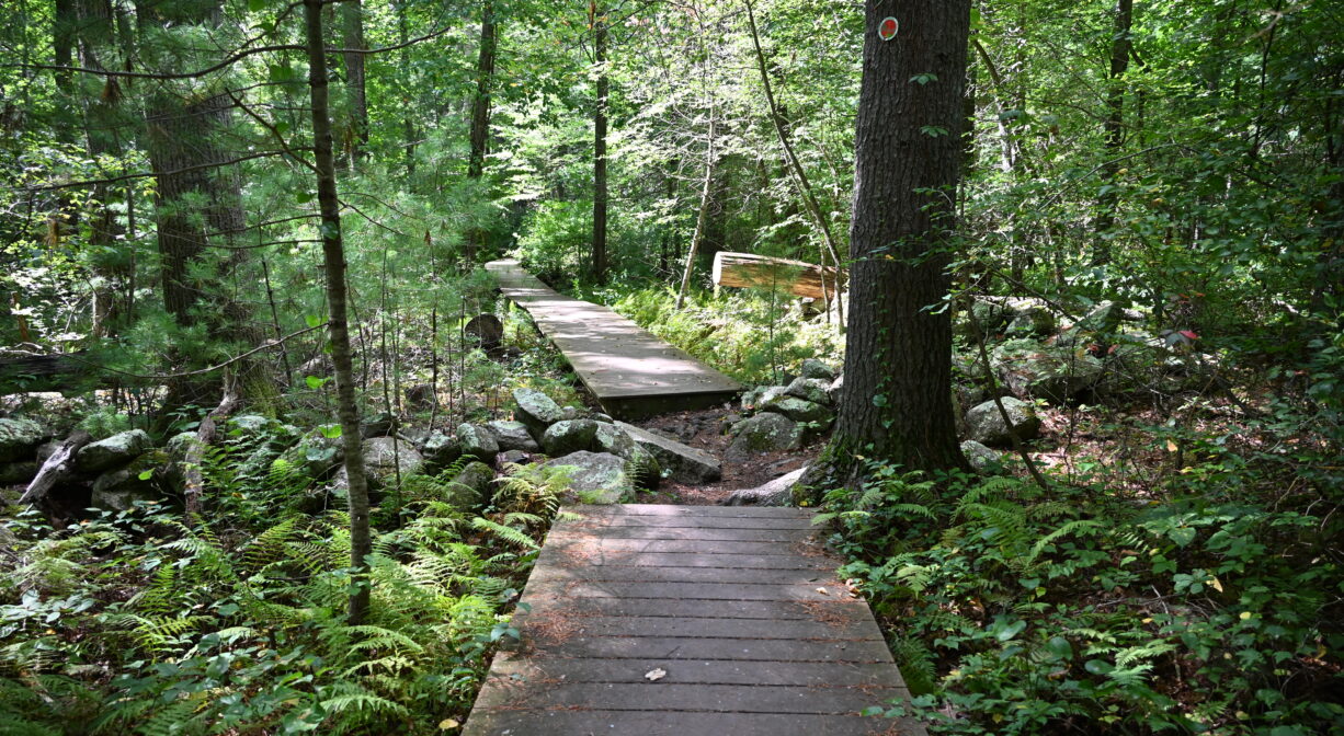
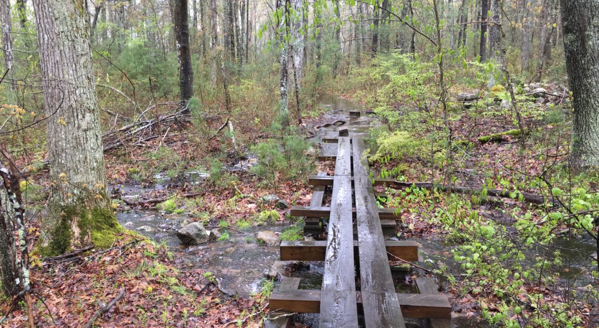
There are trails and boardwalks within the property, as well as a long, beautiful walkway that leads to a dock/float on the North River. Trails are marked with yellow and blue blazes. Proceed with caution on damp days. The boardwalks can be slippery when wet! Also, please note that the out-and-back trail descends a forested hillside, which means you’ll be climbing uphill on your return trip. In addition to the seasonal wet spots, the terrain is sometimes rocky, rooty and otherwise uneven. There are also a few steep spots.
From the parking area, the trail leads diagonally across a meadow. As it enters the woods, it crosses a small stream, and then continues straight into the forest.
• The first intersection is easy to miss — there is a relatively short arc trail that leads off to the left, and rejoins the main trail farther down.
• The second intersection on the main trail is more obvious. Another, longer, arc trail leads to the right and rejoins the main trail deeper into the woods.
The main (yellow) trail takes a sharp turn near this intersection, and runs south along the upland, with a view through the trees of the North River and its marshes. It traverses a wet stream bed (a footbridge spans some, but not all of the distance) and continues to another intersection with a sharp turn. Here you can follow the wider (yellow) path down a steep decline to the North River, or follow the narrower (blue) trail through the forest, where you’ll find additional views of the river and marsh, and a more gently sloping path down the hill.
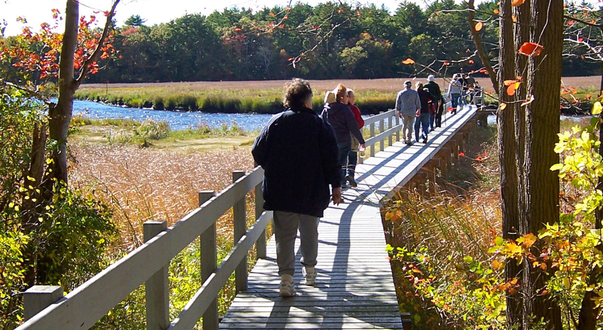
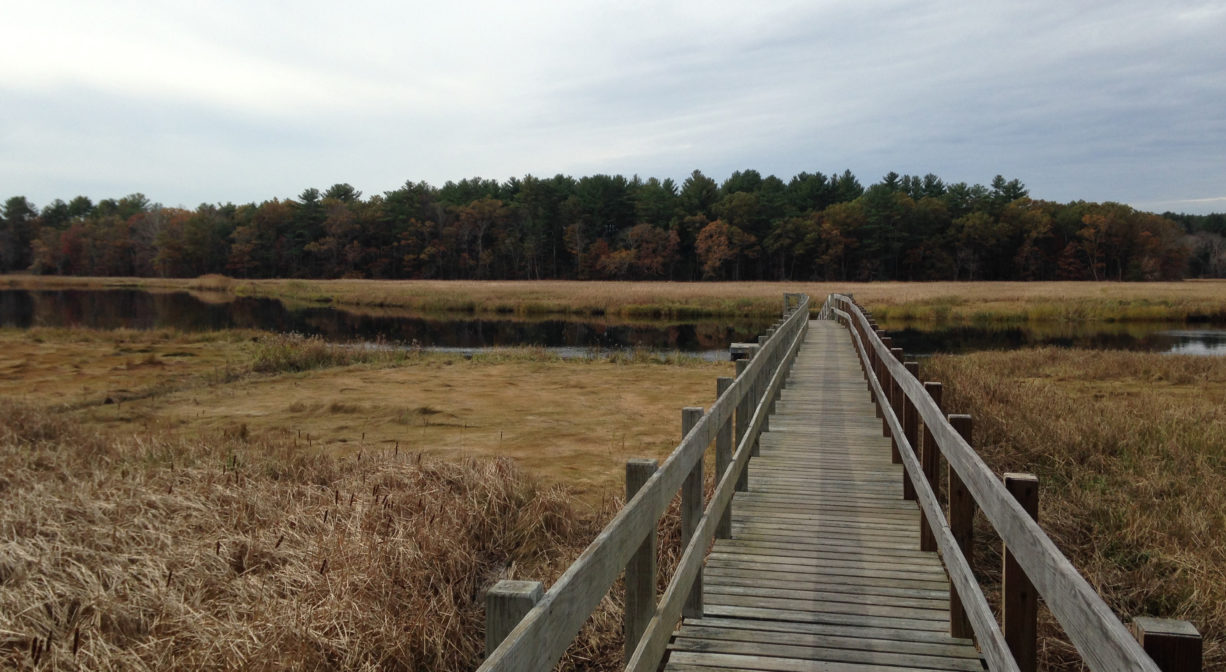
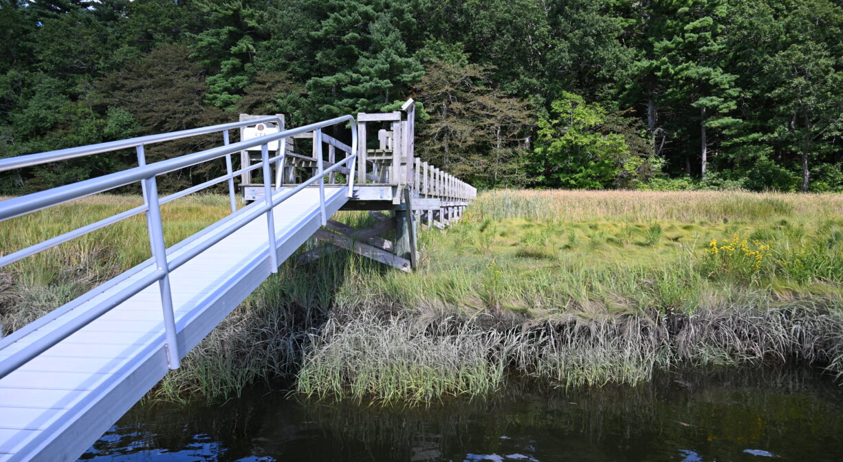
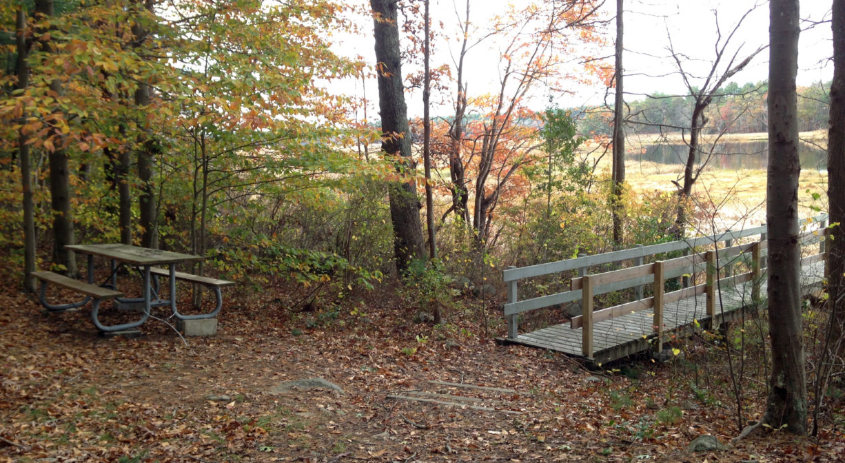
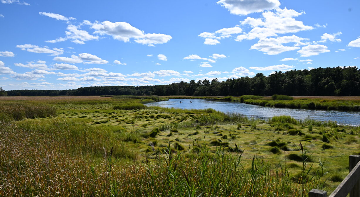
The blue trail intersects with the yellow trail at a landing at the edge of the marsh. Here you’ll find a picnic table, a tent platform, and a long walkway and dock/float that leads across the marsh to the North River. This is an unusual feature among our local conservation lands, and highly recommended. From the dock, you can see quite a distance up- and downstream. It’s a gorgeous spot.
Return to the parking area by following the yellow trail. At the John Little Conservation Area, all major trails eventually loop back to the yellow trail, so you’re unlikely to get lost if you keep that in mind. There are occasional spurs trails too, but most lead to private property.
Property boundary lines are well marked. While the trails leading onto private lands are often wide and inviting, please respect all “private property” signs and remain within the conservation area.
Habitats and Wildlife
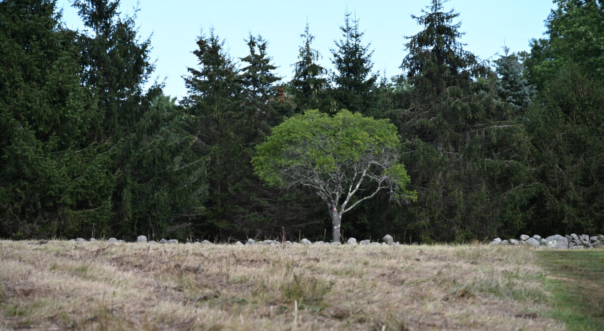
The portion of the property closest to the parking area is a broad meadow, formerly part of a dairy farm, with views of adjacent, still-functioning farms. The remainder of the property is woodland and marsh. The woods are typical for this area — a mix of pine and oak — with occasional holly, and quite a lot of blueberry. Because of the walkway and dock, this property offers a spectacular view of the North River and its marshes.
Approximately 10 miles in length, the North River begins at the confluence of the Indian Head River (Hanover) and Herring Brook (Pembroke). From there it flows through the towns of Hanover, Pembroke, Marshfield, Norwell, and Scituate. It empties into the Atlantic Ocean between Third and Fourth Cliffs, draining approximately 59,000 acres along the way.

Historic Site: No
Park: No
Beach: No
Boat Launch: No
Lifeguards: No
Size: 75 acres
Hours: Dawn to Dusk
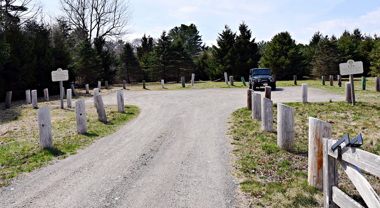
Parking: Limited on-site parking. Look for the small lot at 905 Union Street.
Cost: Free
Trail Difficulty: Easy, Medium
Facilities:
Dock on North River. Picnic table. Boat access only from the water. Pedestrian access from the land. It would be a long walk (1 mile) with a canoe or kayak! Geocache location.
Dogs: Dogs must remain on leash. Always clean up after your dog!
Boat Ramp: No
ADA Access: No
Scenic Views: Yes
Waterbody/Watershed: North River