
45 Whiting St, Hanover, MA 02339, USA
Owned By: Town of Hanover
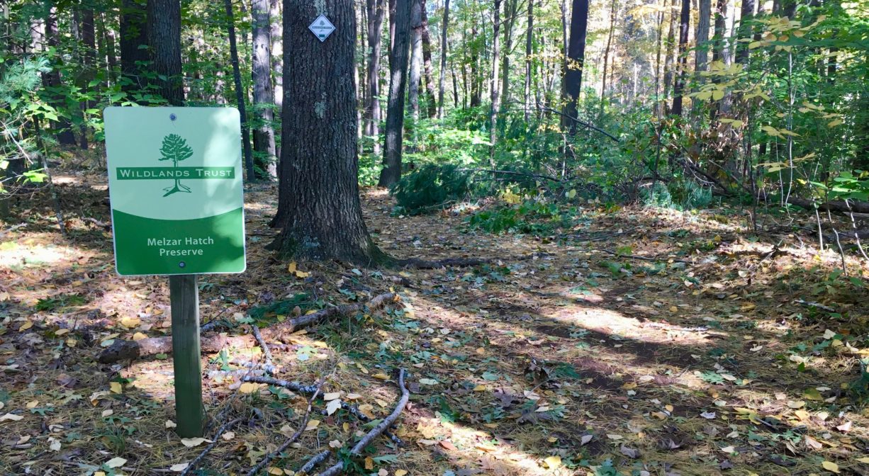
Hanover’s Melzar Hatch Preserve offers nearly 2 miles of trails with several bridges over Longwater Brook and the Drinkwater River. It is mostly woodland, with sections extending along the grassy edges of athletic fields. Hanover’s Cross Country team runs here.
Hunting is not permitted on this property.
Also nearby, check out the Colby Phillips Trails. Look for the trailhead directly across the street from Hanover Middle School.
Features
Melzar Hatch was a descendent of William Hatch, a merchant originally from Sandwich, England, who immigrated to Scituate aboard the Hercules in 1634. Melzar Hatch married Sally Barstow in 1802. Their first son, also Melzar, built a house on Main Street in Hanover, and named his only son Melzar as well.
This land is within the region of the Massachusett (or Massachuseuk). According to Martha Campbell’s Remembering Old Abington, the name “Drinkwater River” is said to be an Anglicized version of the original Native American name for the stream, Nannumackeuitt, “which meant that a hollow stem had to be used as a straw when sucking up water from this shallow, sluggish stream.”
To learn more about local Native American tribes, we encourage you to interact with their members. The Massachusett tribe at Ponkapoag and the Mattakeeset band of the Massachusett share information on their websites.
Trail Description
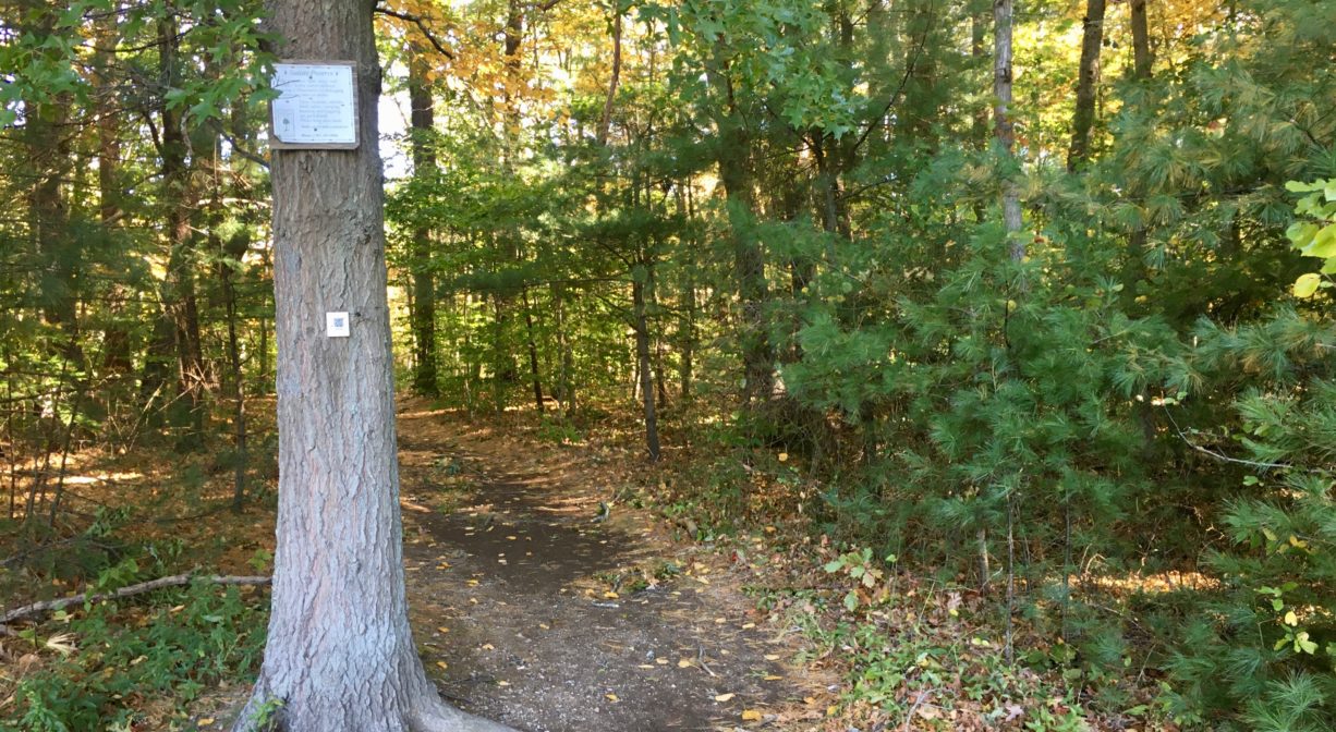
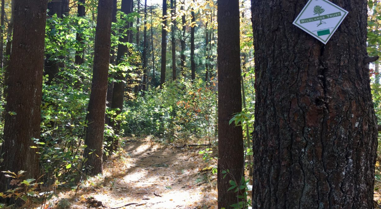
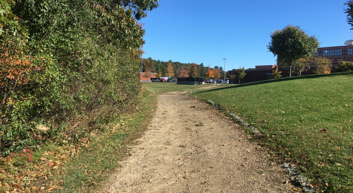
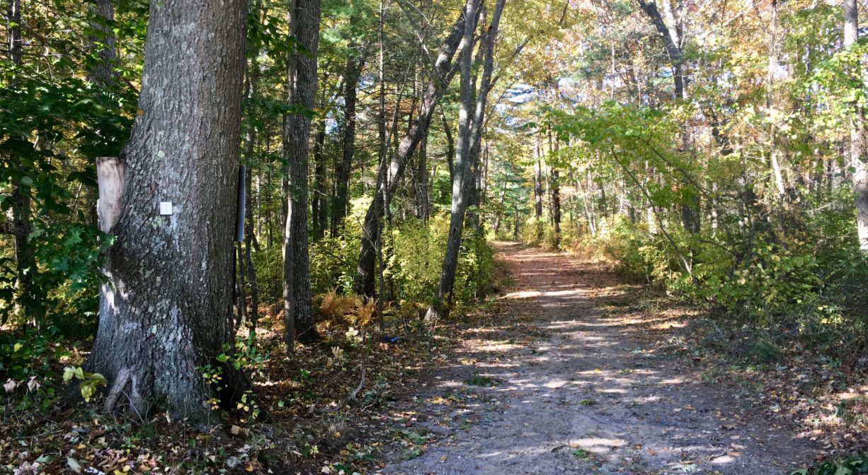
If you enter this property from Hanover Middle School, it’s helpful to know that the trail enters the woods directly behind the school, next to the picnic tables. (Look for area B-6 or C-1, as noted on the building.) The trail (shown on the map) that leads from the entrance road and behind the school is really just a grass and gravel buffer between the school and the woods. When you enter the woods, you will begin to see painted blazes on the trees and the occasional Wildlands Trust sign. The Wildlands Trust helped Hanover to develop these trails. Very soon this trail connects with a loop trail.
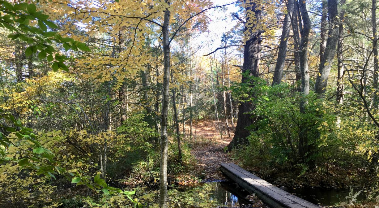
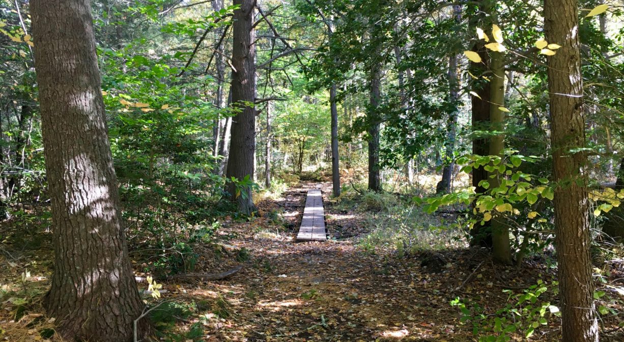
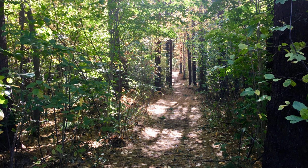
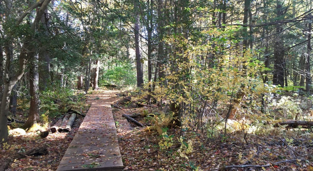
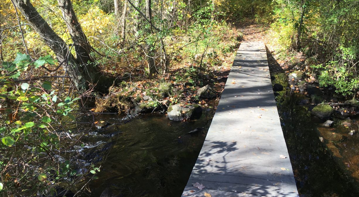
The loop trail follows a ridge adjacent to wetlands. There are numerous wooden bridges traversing Longwater Brook and the Drinkwater River. The trail can be rooty and rocky at times, but it is also wide, well-marked, and easy to follow. Eventually it emerges from the woods behind the Cedar Elementary School. The second half of the loop runs along the grass at the edge of athletic fields and Hanover’s football stadium, occasionally and briefly ducking back into the woods. This section in particular seems ideal for cross-country skiing. Eventually it leads back to the grounds of Hanover Middle School and continues along the edge of the forest, re-entering the woods (behind the backstop) where the loop trail and the spur from the entrance road intersect. In total, there are 1.9 miles of trails.
Habitats and Wildlife
The forest of the Melzar Hatch Preserve contains plenty of pine and oak but there are also beautiful groves of hemlock and beech, plus some birch and holly. The wetter areas abound with maple, sweet pepper bush and fern.
Longwater Brook flows into the Drinkwater River within this property. The Drinkwater River flows south for at least two miles through Hanover’s southwest quadrant, through Forge Pond and Factory Pond. At the Hanson town line, it joins the Indian Head River, and continues into Pembroke as the boundary between the two towns. The Indian Head River and Herring Brook flow together in Pembroke to become the North River, which flows for several miles through Hanover, Pembroke, Norwell, Marshfield and Scituate to the Atlantic Ocean.

Historic Site: No
Park: No
Beach: No
Boat Launch: No
Lifeguards: No
Size: 47 acres
Hours: Dawn to Dusk
Parking: Limited on-site parking (during non-school hours) at Hanover Middle School (45 Whiting Street). Additional access at Cedar Elementary School, and Hanover High School.
Cost: Free
Trail Difficulty: Easy, Medium
Facilities:
Footbridges and short boardwalks.
Dogs: Dogs must remain on leash. Please clean up after your pet!
Boat Ramp: No
ADA Access: No
Scenic Views: Yes
Waterbody/Watershed: Longwater Brook and Drinkwater River (North River watershed)