
30 Whiting St, Hanover, MA 02339, USA
Owned By: Town of Hanover
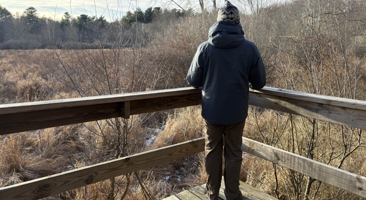
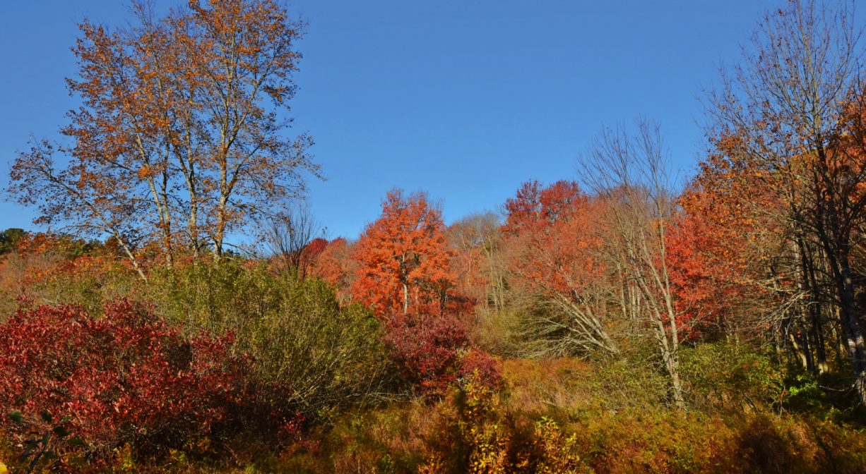
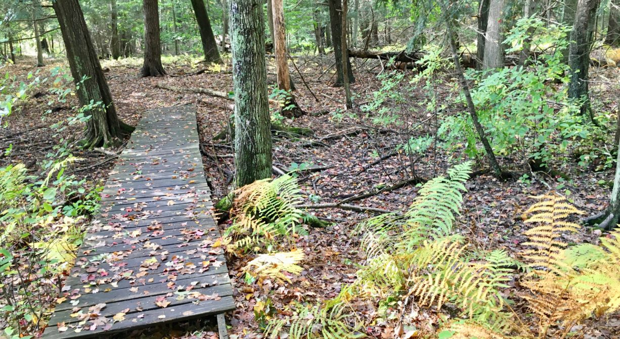
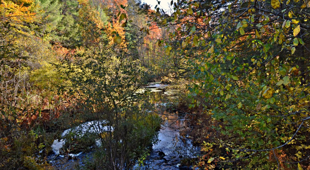
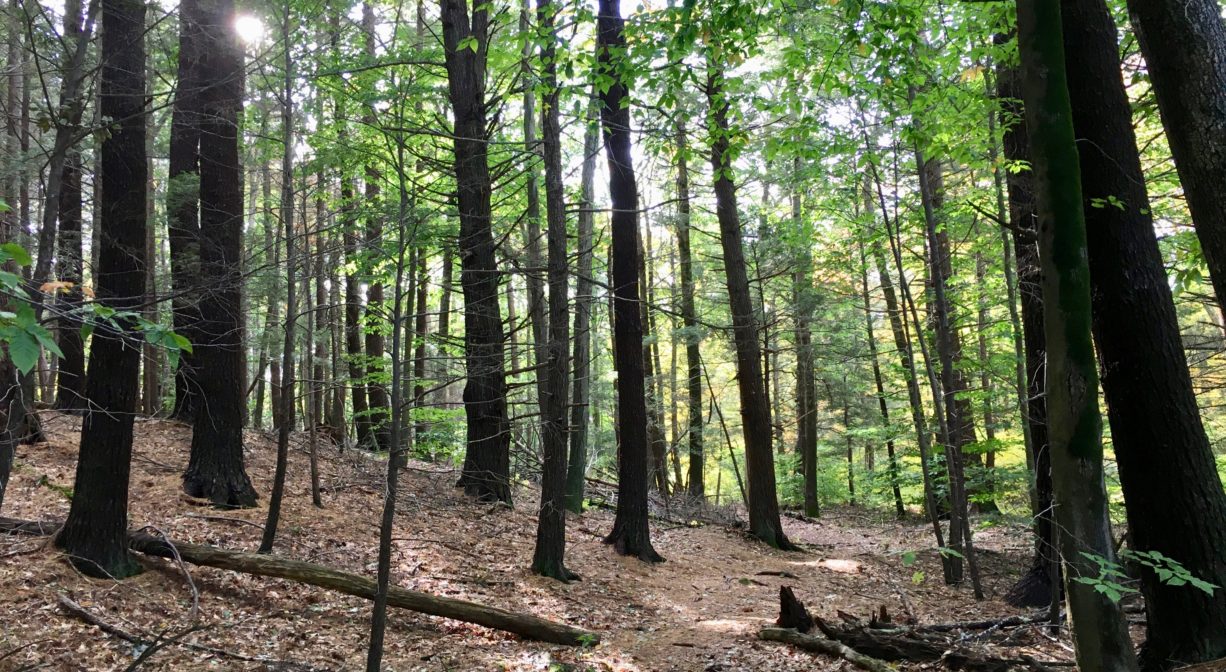
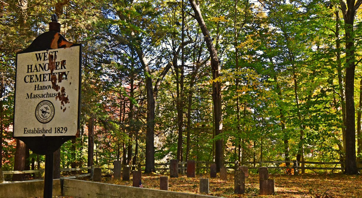
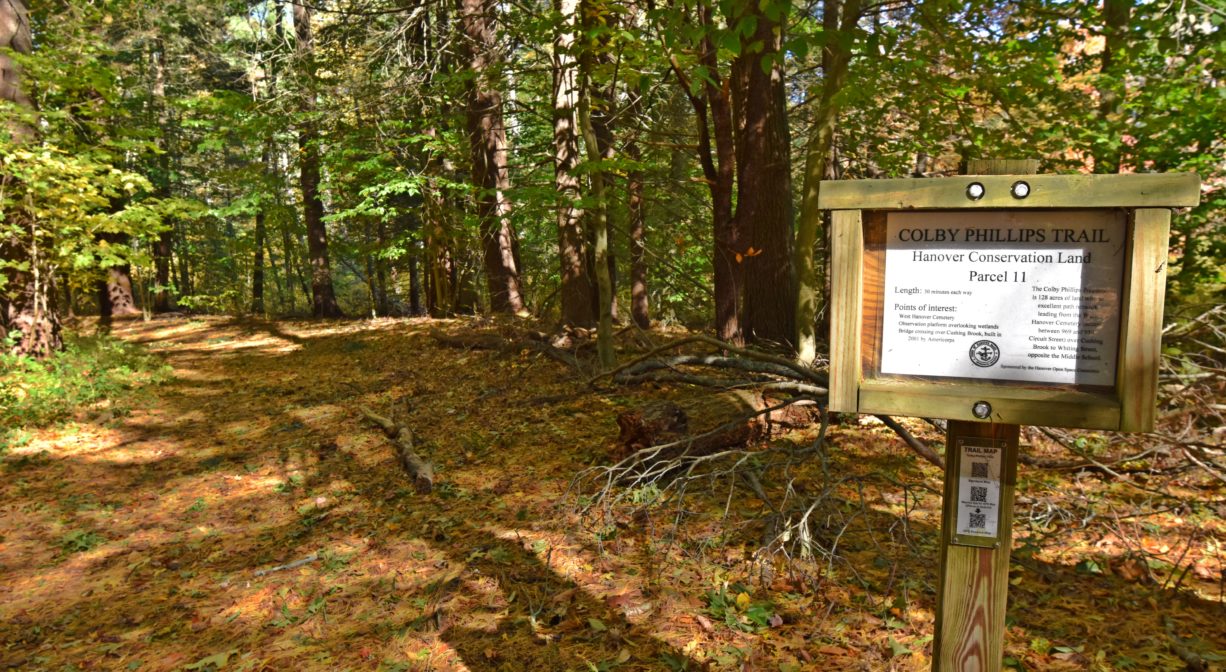
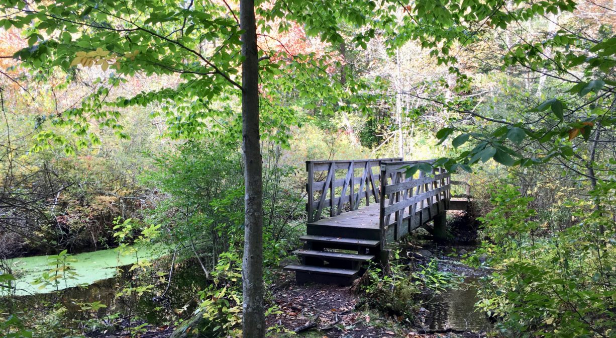
Hanover’s Colby-Phillips Trails extend for 3 miles through a diverse and inviting 147-acre property. Features include boardwalks through woods and wetlands, a bridge over Cushing Brook, an observation deck on Cushing Brook Marsh, and the historic West Hanover Cemetery.
Extend your walk on the linked Rockland Rail Trail and Hanover Branch Rail Trail. Two trails at the southern end of the Colby-Phillips property link directly to the rail trail. Also nearby, the Melzar Hatch Preserve.
Hunting is not permitted on this property.
FISHING ADVISORY: It’s important to know that some of our freshwater fisheries are contaminated with mercury, PFAS and/or other concerning substances. The Massachusetts Department of Public Health maintains an online database with up-to-date advisories regarding fish consumption, sorted by location. We recommend you consult this valuable resource when planning a fishing excursion.
Features
The historic West Hanover Cemetery is located within this property. It is also known as the Darling Cemetery. Gravestones date back to the early 1800s.
This land is within the region of the Massachuseuk (or Massachusett). To learn more about local tribes, we encourage you to interact with their members. The Mattakeeset band of the Massachusett and the Massachusett tribe at Ponkapoag share information on their websites.
Trail Description
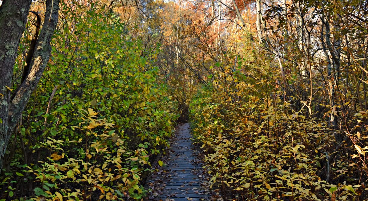
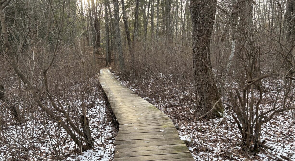
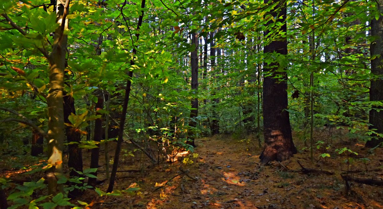
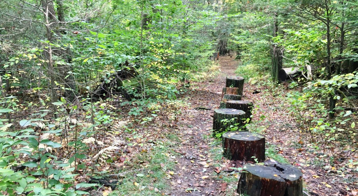
In total there are 3.1 miles of trails here. Many are flat and wide, some include boardwalks, and some are narrower, with steep or root-filled sections. Be careful: the bridge and boardwalks can be slippery when wet.
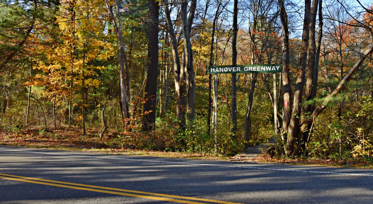
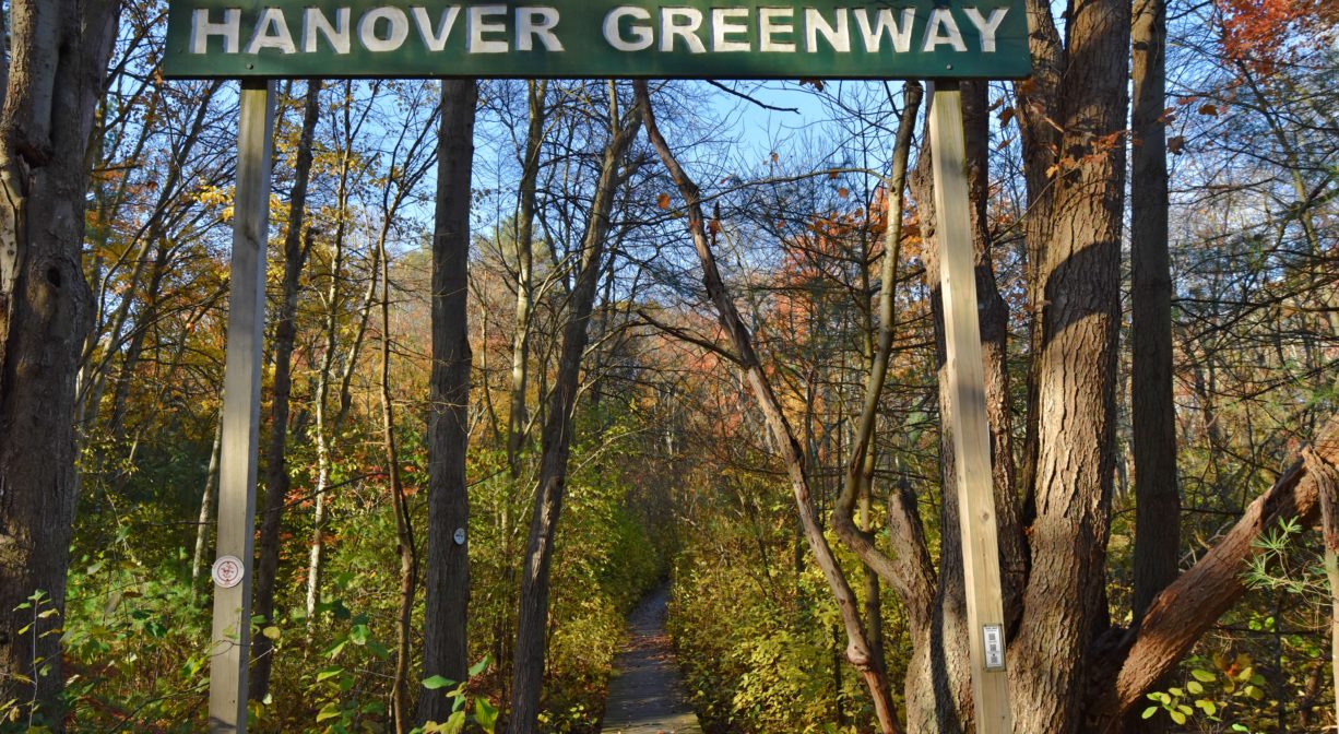
When you access the property from its Whiting Street entrance, you will find yourself on a boardwalk. Hanover Conservation blazes mark all of the trails. The main trail (green) extends through the woods, first west and then south, to the West Hanover Cemetery. Along the way there are several short loop trails (marked in red) that offer additional perspectives. There are also two spur trails that lead to the Rockland Rail Trail and Hanover Branch Rail Trail.
Habitats and Wildlife
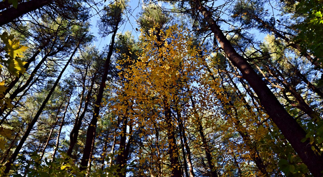
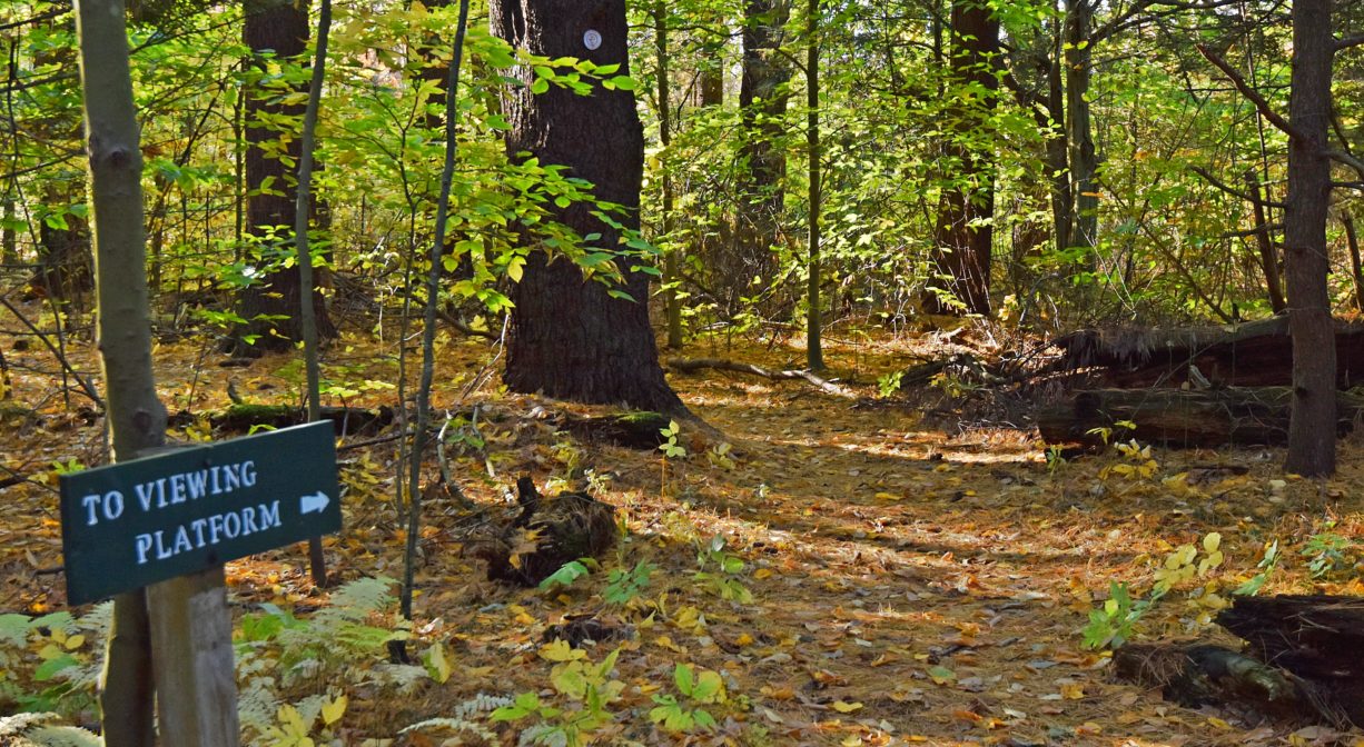
In the uplands, you’ll see pine, oak, holly, Eastern hemlock, greenbrier, and a gorgeous grove of mature beech trees. In the wetlands, look for bracken and hay-scented ferns, sweet pepper bush, wild sarsaparilla, Indian cucumber, and maples. Be sure to check out the observation deck that overlooks Cushing Brook Marsh.
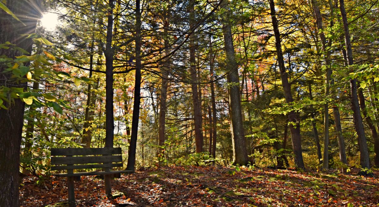
A gracefully arching wooden bridge spans Cushing Brook. You can hear the brook before you see it! Beside the brook itself, there is a perfectly situated bench — a lovely spot to sit and contemplate your surroundings.
Cushing Brook is a tributary to the Drinkwater River. According to Martha Campbell’s Remembering Old Abington, the name “Drinkwater River” is said to be an Anglicized version of the original Native American name for the stream, Nannumackeuitt, “which meant that a hollow stem had to be used as a straw when sucking up water from this shallow, sluggish stream.”
French’s Stream and the Drinkwater River flow together just upstream of Forge Pond. The Drinkwater River continues to flow southeast of Forge Pond, into Factory Pond. From there, the waterway turns east and is known as the Indian Head River. It joins Herring Brook in Pembroke to form the North River, which flows 12 miles through Hanover, Pembroke, Norwell, Marshfield, and Scituate, to the Atlantic Ocean.

Historic Site: No
Park: No
Beach: No
Boat Launch: No
Lifeguards: No
Size: 147 acres
Hours: Dawn to Dusk
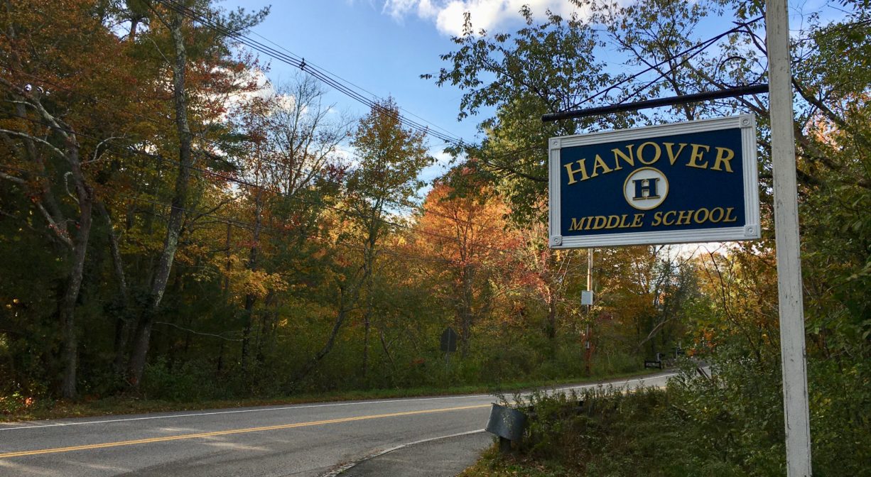
Parking: Park along the edge of the driveway at Hanover Middle School, and cross Whiting Street to the well-marked trailhead. Additional parking and pedestrian access at the Hanover Branch Rail Trail at 1409 Hanover Street (Route 139). Parking is also available at Hanover Middle School, when school is not in session.
Cost: Free
Trail Difficulty: Easy, Medium
Facilities:
Benches and boardwalks. Observation deck on Cushing Brook Marsh. Bridge over Cushing Brook.
Dogs: Dogs must remain on leash. Always clean up after your dog!
Boat Ramp: No
ADA Access: No
Scenic Views: Yes
Waterbody/Watershed: Cushing Brook (North River watershed)