
183 Wampatuck Street, Pembroke, MA, USA
Pembroke Town Manager: 781-293-3844
https://www.pembroke-ma.gov/town-beaches
Owned By: Town of Pembroke
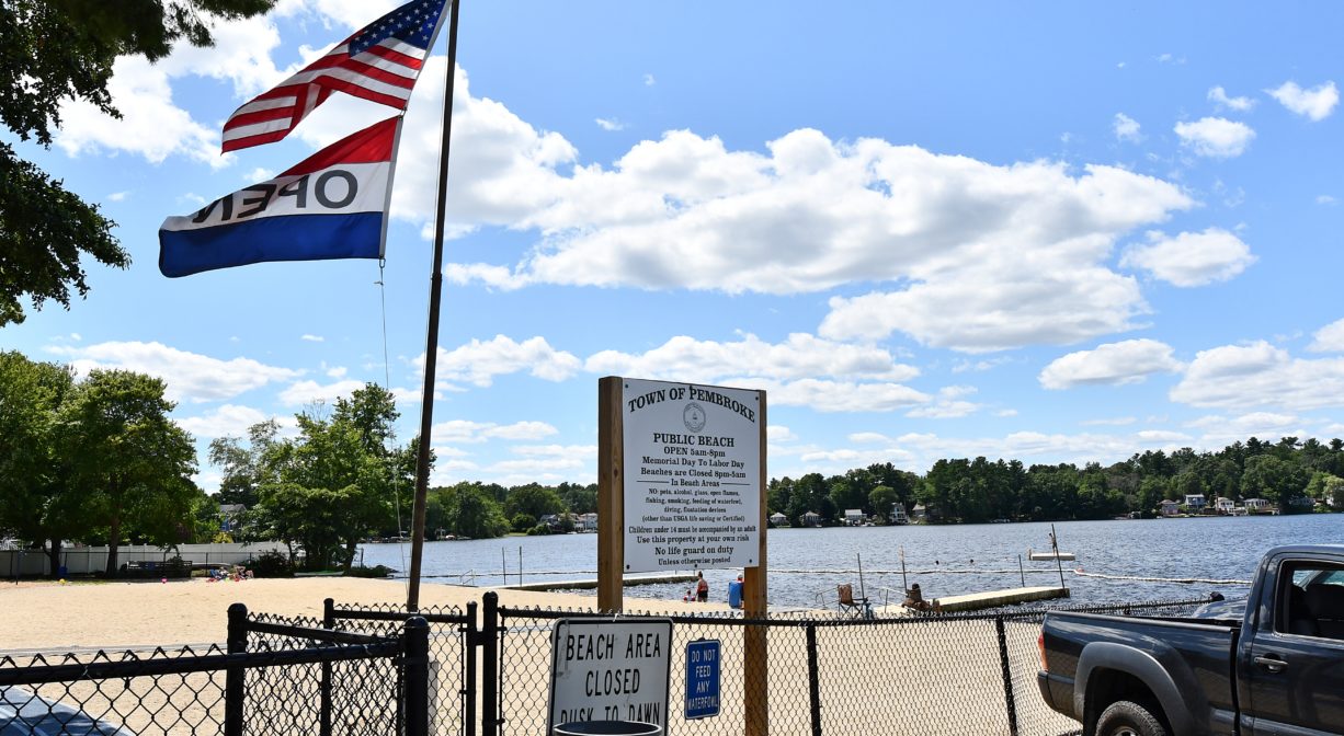
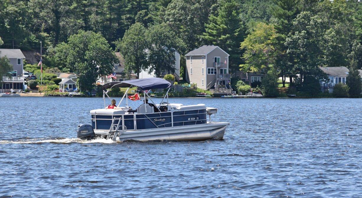
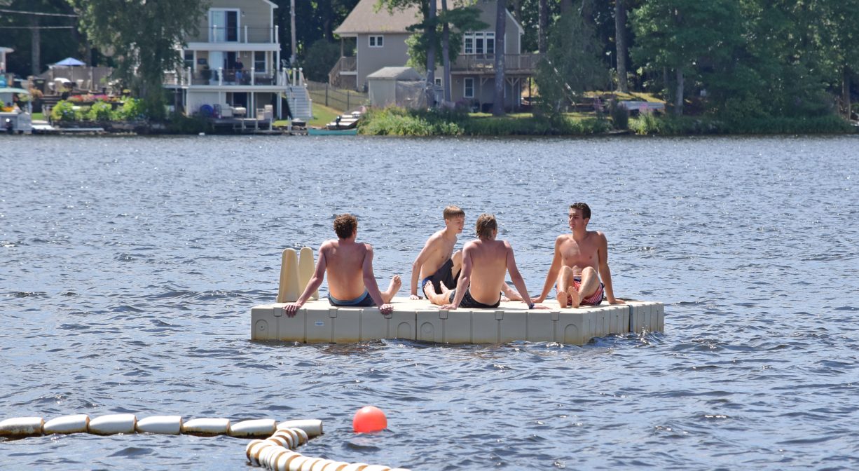
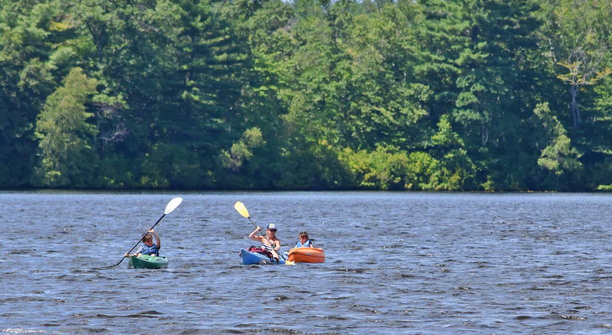
The Oldham Pond Town Landing provides public access to the 189-acre pond for swimming, paddling, and small motorboats — for residents and non-residents. Fishing is permitted, but not in the beach area. Winter activities here include ice skating and ice fishing. Motor boaters: be advised that numerous rocky shoal areas within the pond are not marked on depth maps. Jet skis are prohibited.
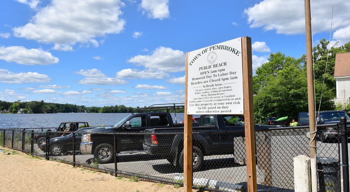
Oldham Pond is one of the Great Ponds of Massachusetts. Defined as a natural body of water larger than 10 acres, a Great Pond is held in trust by the state for public use. Before visiting, review town-wide beach regulations on the town website.
FISHING ADVISORY: It’s important to know that some of our freshwater fisheries are contaminated with mercury, PFAS and/or other concerning substances. The Massachusetts Department of Public Health maintains an online database with up-to-date advisories regarding fish consumption, sorted by location. We recommend you consult this valuable resource when planning a fishing excursion.
Features
Oldham Pond is also sometimes known as Monument Pond. It takes its name from a prominent Pembroke family who built a home on its shores in the late 1690s. In the early 1900s, one of the town ice houses was located on Oldham Pond. Summer cottages sprang up around the pond in the 20th century. According to Pembroke: Ancient Trails to the 21st Century 1712-2012 in 1935, Camp Pembroke, an all-girls summer camp, was established on the former Oldham Family farm by Eli and Bessie Cohen.
In addition to Camp Pembroke, which continues to operate every summer, the 3.45 miles of Oldham Pond shoreline are heavily developed with year-round houses. Monument Island and two smaller islands stand within the pond.
For centuries, the Pembroke Ponds were home to the Mattakeeset, a band of the Massachuseuk (or Massachusett) Native American tribe. They named their settlement Namassakeesett, or “Place of Much Fish,” and set up a fishing weir at the outlet of Furnace Pond.
Wampatuck (also known as Wompatuck, White Goose and White Deer) was Chief Sachem of the Mattakeesett. He maintained a lodge just off the pathway between Furnace and Oldham Ponds. This spot — on a promontory jutting into Furnace Pond — was later named Sachem’s Point in his honor. The restaurant Towne Tavern is now located there.
Wampatuck began conveying his lands to European settlers in the 1640s or 1650s (although “conveying” is a relative term, since the Europeans and Native Americans held distinctly different views on the notion of land ownership vs. use or stewardship). In a transaction known as the Major’s Purchase, today’s Pembroke and Hanson — was transferred to the Europeans in 1662. However 1,000 acres of this area, directly abutting the ponds, was retained as property of Wampatuck and his descendants. Queen Patience, granddaughter of Wampatuck, retained significant acreage on Furnace Pond, but sold it to European settlers before her death in 1788.
Please bear in mind that Native American cultures often favor oral histories to written ones. Much of what’s recorded about the history of the South Shore is from the perspective of European settlers. It’s not the whole story. To learn more about local Native American tribes, we encourage you to interact with their members. The Massachusett tribe at Ponkapoag and the Mattakeeset band of the Massachusett share information on their websites.
For more information about Oldham Pond, follow the Pembroke Watershed Association.
Habitats and Wildlife
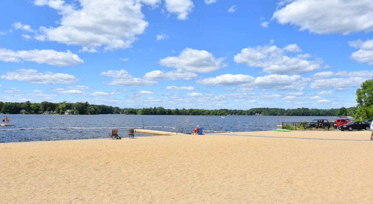
The 189-acre Oldham Pond is located mostly in Pembroke, but a portion of it is in Hanson. It has 3.45 miles of shoreline, and an average depth of 10 feet, with a maximum of 15 feet. Some of the fish commonly found here include largemouth bass, chain pickerel, pumpkinseed, white and yellow perch, bluegill, white sucker, banded killifish, brown bullhead, golden shiner, black crappie, American eel and alewife.
Alewife herring spawn here and at Furnace Pond. They swim all the way upstream from the ocean to mate, returning every year via the North River and Herring Brook. There is a fish ladder at the Furnace Pond Dam, and a fishway between Furnace and Oldham Ponds, to facilitate their passage.
Water flows into Oldham Pond from streams, cranberry bogs and wetlands. From there, it continues south into Furnace Pond, then downstream to Herring Brook. Herring Brook joins with the Indian Head River at a place on the Pembroke/Hanover town line called The Crotch, to form the North River. From there the North River flows for 10 miles through the towns of Hanover, Pembroke, Marshfield, Norwell, and Scituate. It empties into the Atlantic Ocean between Third and Fourth Cliffs, draining approximately 59,000 acres along the way.
Historic Site: No
Park: No
Beach: Yes
Boat Launch: Yes
Lifeguards: Lifeguards in season.
Size: 235 acres, including the pond
Hours: 5am to 8pm (Memorial Day to Labor Day), or Dawn to Dusk
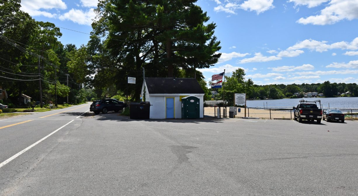
Parking: Paved on-site parking lot. No trailer parking.
Cost: Free
Facilities:
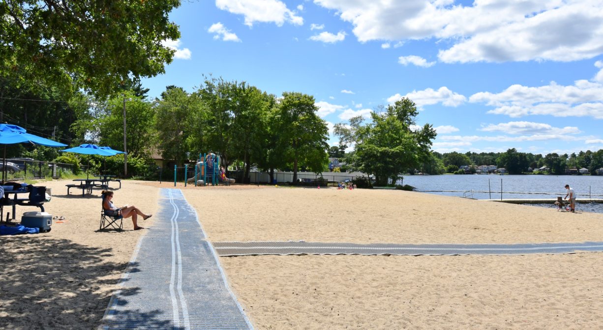
Concrete boat ramp, fishing piers, seasonal swimming beach with lifeguards, picnic tables, playground, porta-potty. Geocache location.
Dogs: No
Boat Ramp: Yes
ADA Access: Yes
Scenic Views: Yes
Waterbody/Watershed: Herring Brook / North River watershed