
339 King St, Cohasset, MA 02025, USA
Town of Cohasset: 781-383-4100
Owned By: Town of Cohasset
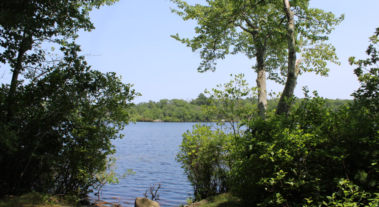
The Pape Reservation features a half mile of woodland trails along the western edge of Lily Pond, Cohasset’s drinking water reservoir. The trail extends past several rocky outcroppings as well as a vernal pool. Direct trail access to the Brass Kettle Conservation Area, immediately adjacent.
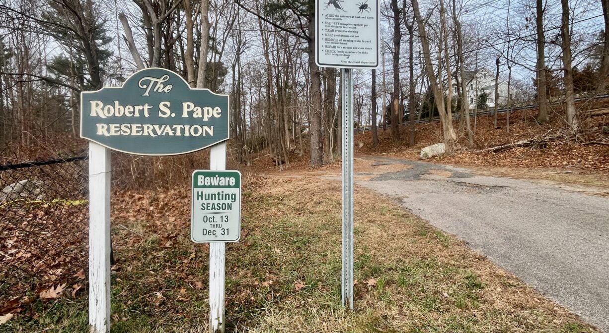
HUNTING: Hunting is allowed, in season, by licensed persons in compliance with Massachusetts law. Please be sure to understand state and local hunting guidelines before proceeding. Non-hunters, be mindful of hunting seasons, and wear bright orange if you’re entering the property during those times. Hunting is not permitted on Sundays.
Features
The Town of Cohasset set aside this land in 1990 and 1993, to protect its drinking water supply. The purchase was funded in part by the Cohasset Conservation Trust, as well as with proceeds from the sale of the Olde Salt House and a contribution from Mrs. A. Week Cook.
Prior to European contact, a band of the Massachusett Native American tribe maintained a village in what is now Cohasset. It was known as Quonahassit — often translated as “long rocky place.” In 1614, while exploring what was known then as the New World, Captain John Smith (1580-1631) landed in “Quonahassit Harbor” to trade for furs. The Quonahassit village was probably in the vicinity of today’s Elm Street, a summer camp for fishing, and for growing corn, beans and squash. The village moved inland during the winter for shelter, and to hunt for deer, turkey and other wildlife. A widespread plague decimated the Quonahassit population shortly after Smith’s visit.
To learn more about local Native American tribes, we encourage you to interact with their members. The Mattakeeset band of the Massachusett and the Massachusett tribe at Ponkapoag share information on their websites.
Trail Description
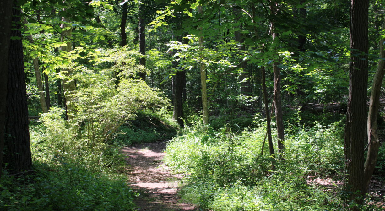
Look for the Pape Reservation sign along the driveway of the Cohasset Water Treatment Plant. A wide trail leads through the woods, along the edge of Lily Pond. The trail is well-maintained, but there are some steep areas, as well as a section with a lot of rocks and/or roots.
After 0.14 miles, there is a triangle intersection. If you continue straight on the Lily Pond Trail, you can walk for another half mile or so along a ridge above the pond, and later at water level. Toward the end of the trail, there are some beautiful water views.
From this trail, you can also access the Brass Kettle Trail, which is an out-and-back. At the triangle, an additional option is to turn right onto the Lily Pond Trail. This leads for about 0.25 miles into the Brass Kettle Conservation Area, where you can access the Great Lot Trail, either (right) to a small parking area on King Street, or (left) through the Brass Kettle property to Whitney & Thayer Woods.
Habitats and Wildlife
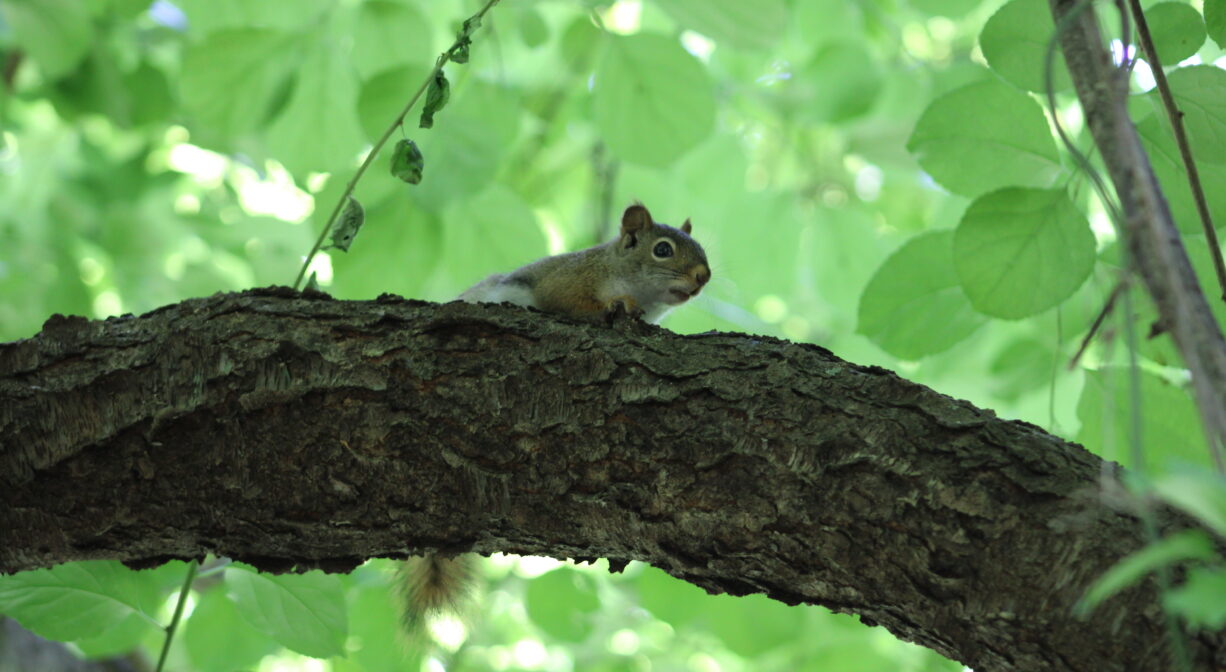
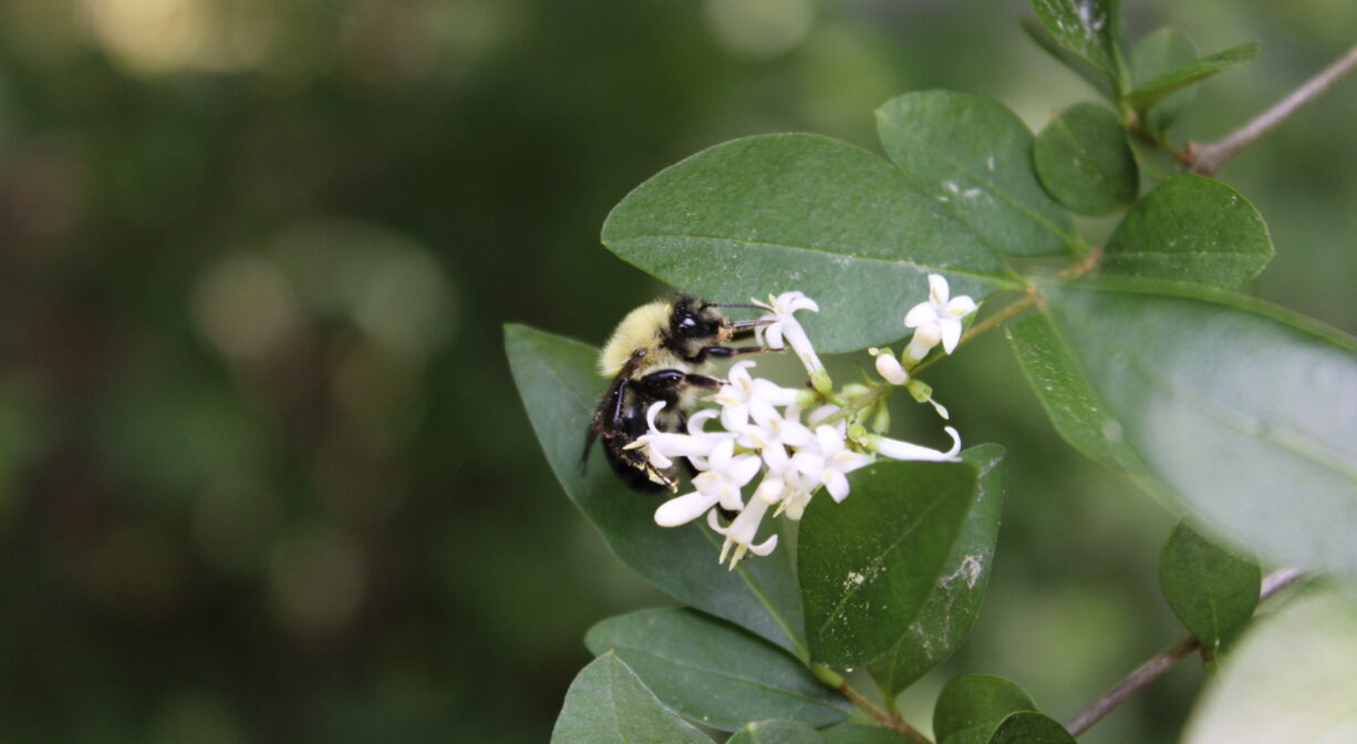
The woodlands here are mostly pine, oak, maple, beech, hemlock, and holly. There are numerous rocky outcroppings, many covered with moss and/or lichen.
Lily Pond provides the Town of Cohasset’s drinking water. Brass Kettle Brook flows through it and eventually joins with the Aaron River, which flows into the Gulf River in North Scituate. The Gulf River empties into the ocean at Cohasset Harbor. We encourage you to follow and support The Gulf Association.


Historic Site: No
Park: No
Beach: No
Boat Launch: No
Lifeguards: No
Size: 11 acres
Hours: Dawn to Dusk
Parking: Limited parking at the Cohasset Water Treatment Plant at 339 King Street. Pedestrian access via Brass Kettle Conservation Area (small parking area between 265 and 279 King Street).
Cost: Free
Trail Difficulty: Easy, Medium
Dogs: Dogs must remain on leash. Always clean up after your dog!
Boat Ramp: No
ADA Access: No
Scenic Views: Yes
Waterbody/Watershed: Brass Kettle Brook (Gulf River watershed)