
380 Chief Justice Cushing Hwy, Cohasset, MA 02025, USA
http://www.thetrustees.org/places-to-visit/south-of-boston/whitney-thayer-woods.html
Owned By: The Trustees
Whitney & Thayer Woods, owned by The Trustees, features 824 acres of woodland with 10 miles of trails, plus access to several other properties. There is so much to see and explore here, including several intriguing glacial erratics! Trails connect to Weir River Farm, Turkey Hill, Wompatuck State Park, the Whitney Spur Rail Rail, and the Town of Cohasset’s Brass Kettle Conservation Area.
HUNTING: Bow Hunting (only) is allowed at Whitney and Thayer Woods to a small group of selected and proficient hunters from October 1st to December 31st. Please contact the property owner for details. Hunting is not permitted on Sundays.
Features
After the decline of agriculture in this area, but before the arrival of the subdivision, much of Whitney and Thayer Woods was dedicated to equestrian pursuits. Henry Whitney purchased some of the former-farms and created the bridle paths and carriage roads that are still in existence today. It’s easy to imagine a horse-drawn buggy making its way along some of the wider trails. The Whitney Woods Association, a horseback-riding group, eventually took ownership of 600 acres. In 1933 this was donated to The Trustees, as was – a decade later — additional acreage to the west, owned by the Thayer family. Land acquisition from various sources continued as late as 1999.
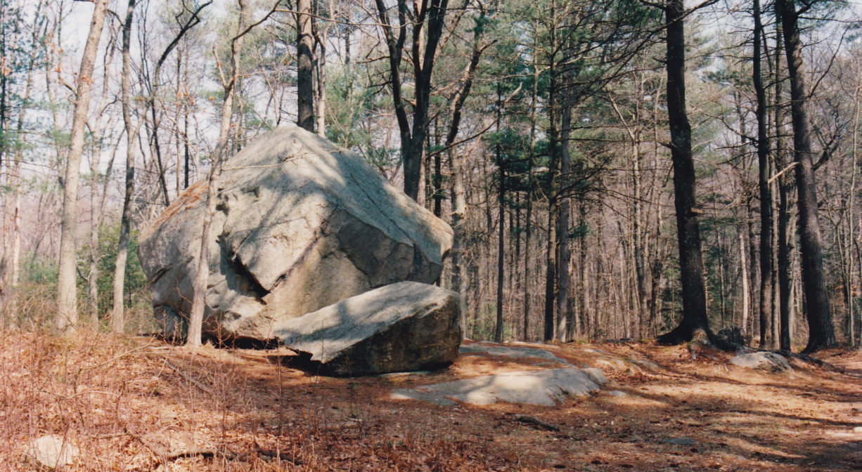
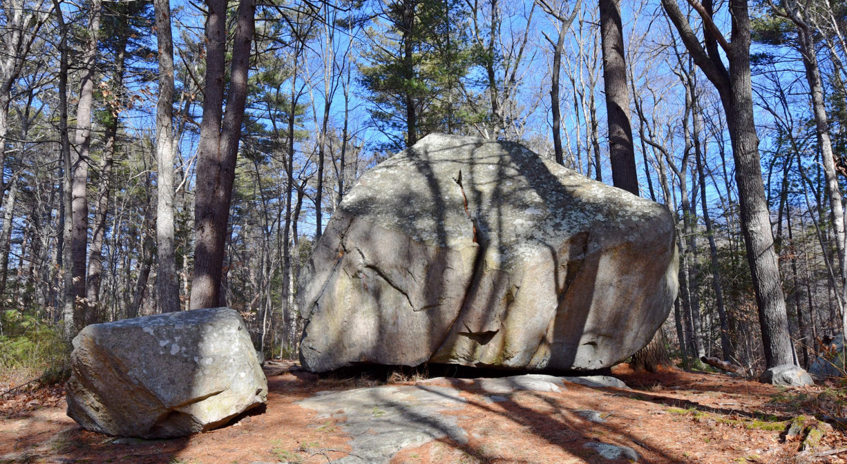
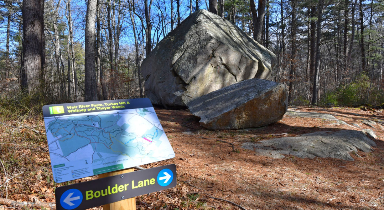
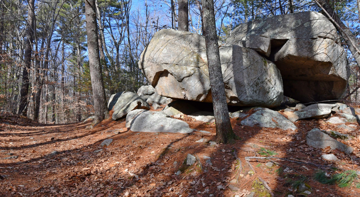
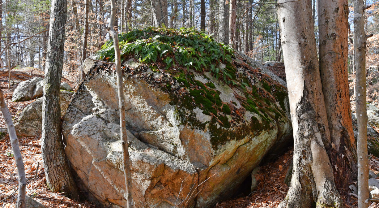
Highlights from the entrance across from Sohier Street include the very large Bigelow Boulder, left behind by a glacier, now a striking sight in the middle of the woods. Also Ode’s Den, a large grouping of rocks named for Theodore “Ode” Pritchard, who lived among them after he lost his home in 1830, and the Milliken Memorial Path (see trail info). Throughout the property, there are also a number of old stone walls.
Prior to European contact, a band of the Massachusett Native American tribe maintained a village in what is now Cohasset. It was known as Quonahassit — often translated as “long rocky place.” In 1614, while exploring what was known then as the New World, Captain John Smith (1580-1631) landed in “Quonahassit Harbor” to trade for furs. The Quonahassit village was probably in the vicinity of today’s Elm Street, a summer camp for fishing, and for growing corn, beans and squash. The village moved inland during the winter for shelter, and to hunt for deer, turkey and other wildlife. A widespread plague decimated the Quonahassit population shortly after Smith’s visit.
Please bear in mind that Native American cultures often favor oral histories to written ones. Much of what’s recorded about the history of the South Shore is from the perspective of European settlers. It’s not the whole story. To learn more about local tribes, we encourage you to interact with their members. The Mattakeeset band of the Massachusett and the Massachusett tribe at Ponkapoag share information on their websites.
Trail Description
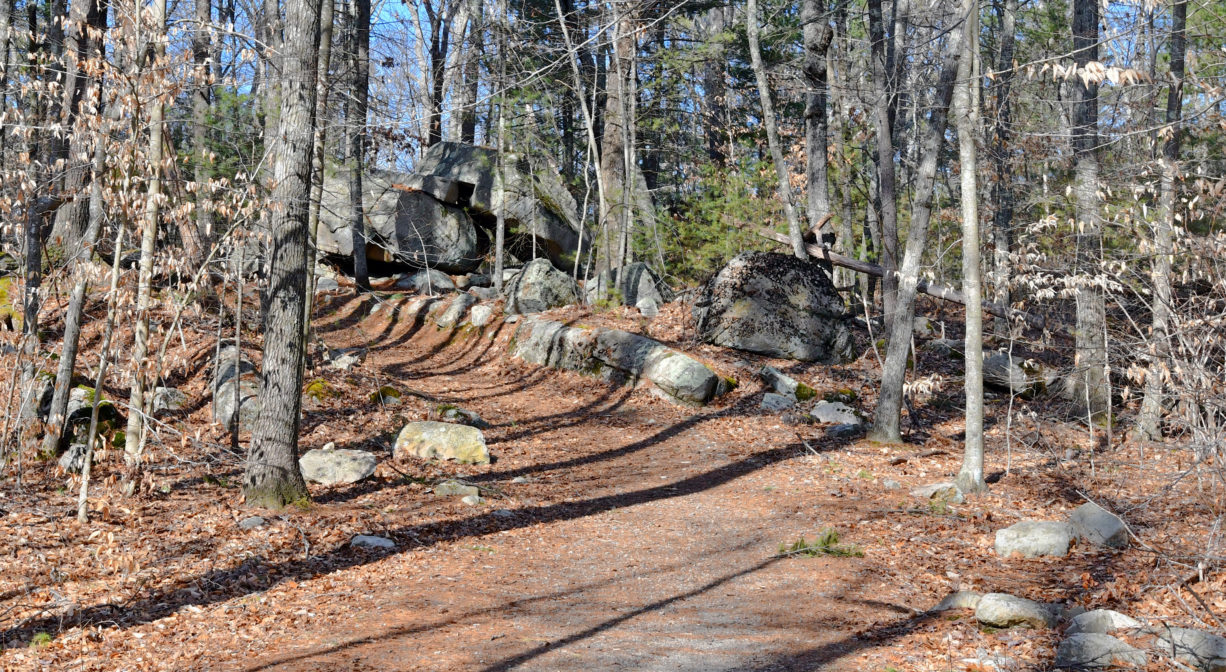
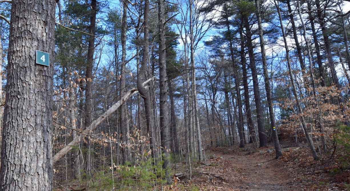
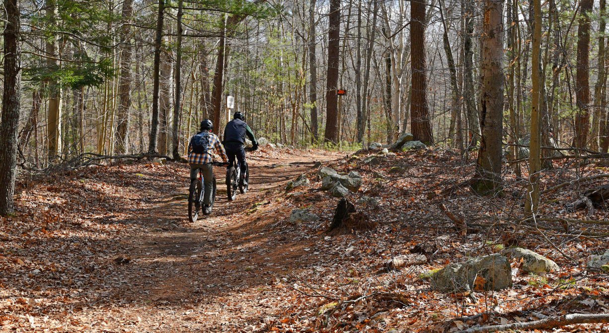
The 10 miles of trails at Whitney and Thayer Woods connect to Weir River Farm, Turkey Hill, Wompatuck State Park, the Whitney Spur Rail Trail, and the Town of Cohasset’s Brass Kettle Conservation Area. Many of these trails are old carriage roads – wide, clear, shady, and well-trod. They are very well-marked with easy-to-see blazes and maps at most intersections. This extensive trail network lies within the largest contiguous tract of open space on the South Shore – nearly 5,000 acres in all.
Don’t miss the Milliken Memorial Path, a “wild garden” lined with rhododendrons and azaleas that was created in the late 1920s by Mabel Minott Milliken. Be sure to take a map from the kiosk at the entrance. All intersections are numbered and marked for ease of navigation. Many, but not all, of the trails within Whitney and Thayer Woods permit mountain biking and horseback riding.
For a 1-hour hike, consider the Blue Loop, which involves mostly flat, wide trails, and passes by the Bigelow Boulder and numerous other glacial erratics. Be advised that sometimes a section of this loop is closed, obliging the visitor to backtrack or seek an alternate, rockier route along a side trail.
For a longer excursion (2 hours), take the main trail (marked in blue) from the parking lot, not the (also blue) Bancroft Trail. At the end of Boulder Lane, take the Whitney Road (yellow) to Ayer’s Lane (red). Turn left on Ayer’s Lane, and follow it until the trail forks. Choose the yellow fork, which leads to the Milliken Memorial Path (yellow), and stay on it for a long time (along the way, you will cross Brass Kettle Brook twice, and also pass a trail into Wompatuck State Park). Choose the white-blazed side trail to investigate the very rocky but intriguing Ode’s Den, and then when you emerge from Ode’s Den at Rooster Rock, continue on the white-blazed trail all the way back to the Bigelow Boulder, and the parking area. Be advised that the white trails generally feature rockier, sometimes-steep terrain.
Habitats and Wildlife
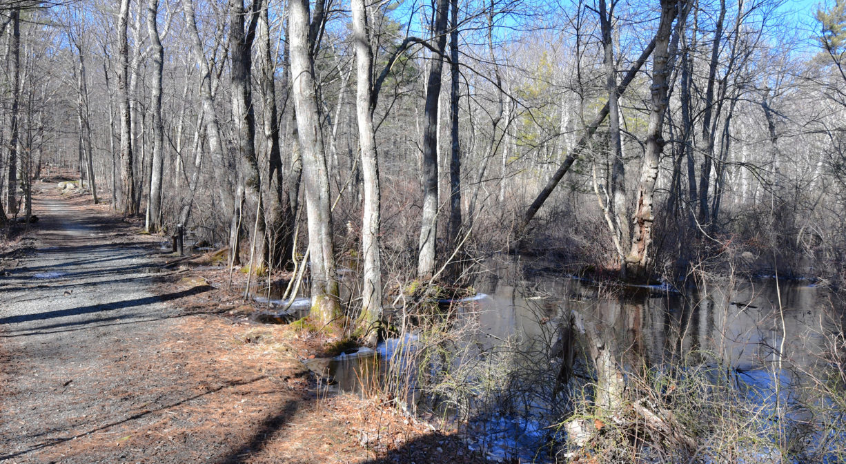
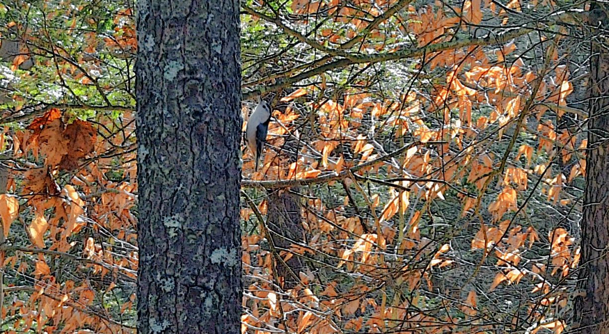
The property is primarily woodlands, with numerous glacial erratic boulders and rocky outcroppings. These forests used to be farmland, so the hardwoods growing now are relatively recent. Look for oak, pine, beech, maple, birch, hemlock, and holly. Streams, glacial erratic boulders, and vernal pools are among the many features. There is a grove of holly in a remote spot between Turkey Hill Lane and One Way Lane. The Milliken Memorial Path features rhododendrons, azaleas, and occasional lady slippers.
Brass Kettle Brook flows through the southern portion of the property. It flows into Lily Pond in Cohasset, which feeds Bound Brook. Bound Brook flows into the Gulf River, which then empties into the Atlantic Ocean at Cohasset Harbor.
We encourage you to follow and support the Gulf Association.


Historic Site: No
Park: No
Beach: No
Boat Launch: No
Lifeguards: No
Size: 824 acres
Hours: Dawn to Dusk
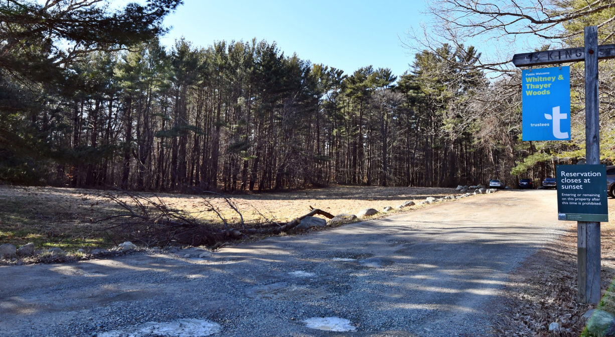
Parking: On-site parking at 380 Chief Justice Cushing Highway (Route 3A) in Cohasset, across from Stop & Shop. There is a second entrance on Route 3A in Hingham, across from Side Hill Road, plus access and parking on Turkey Hill Road in Hingham.
Cost: Free
Trail Difficulty: Easy, Medium
Facilities:
Bridges, benches, maps and informational kiosks. Geocache locations.
Dogs: Dogs must be leashed at all times. Always clean up after your dog!
Boat Ramp: No
ADA Access: No
Scenic Views: Yes
Waterbody/Watershed: Brass Kettle Brook (Gulf River watershed)