
170 Glenrose Ave, Braintree, MA 02184, USA
Braintree Electric Light Department: 781-348-2353
Owned By: Town of Braintree
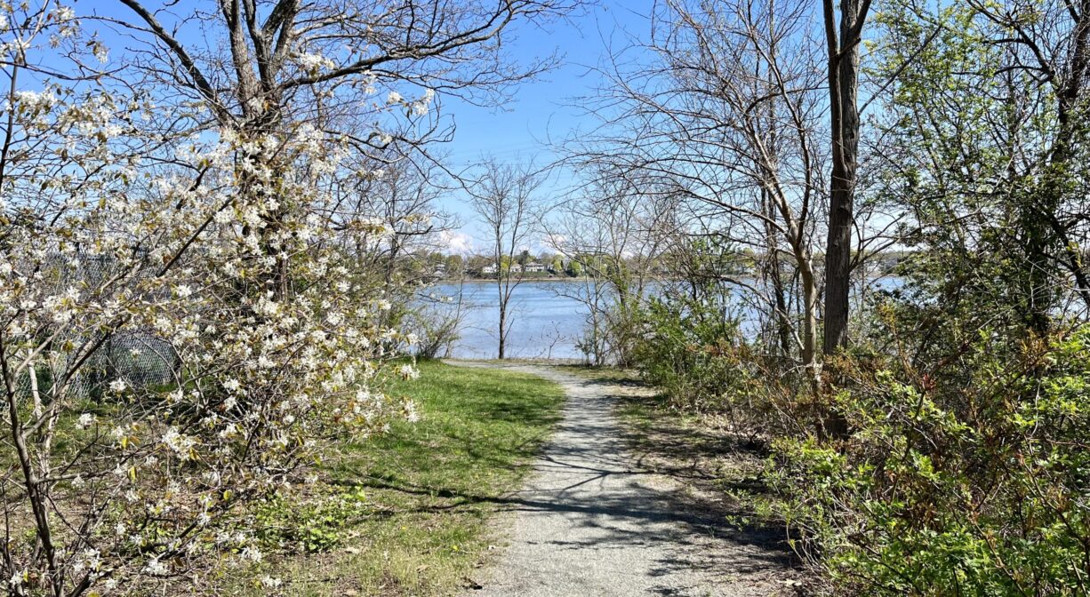
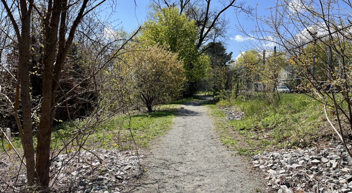
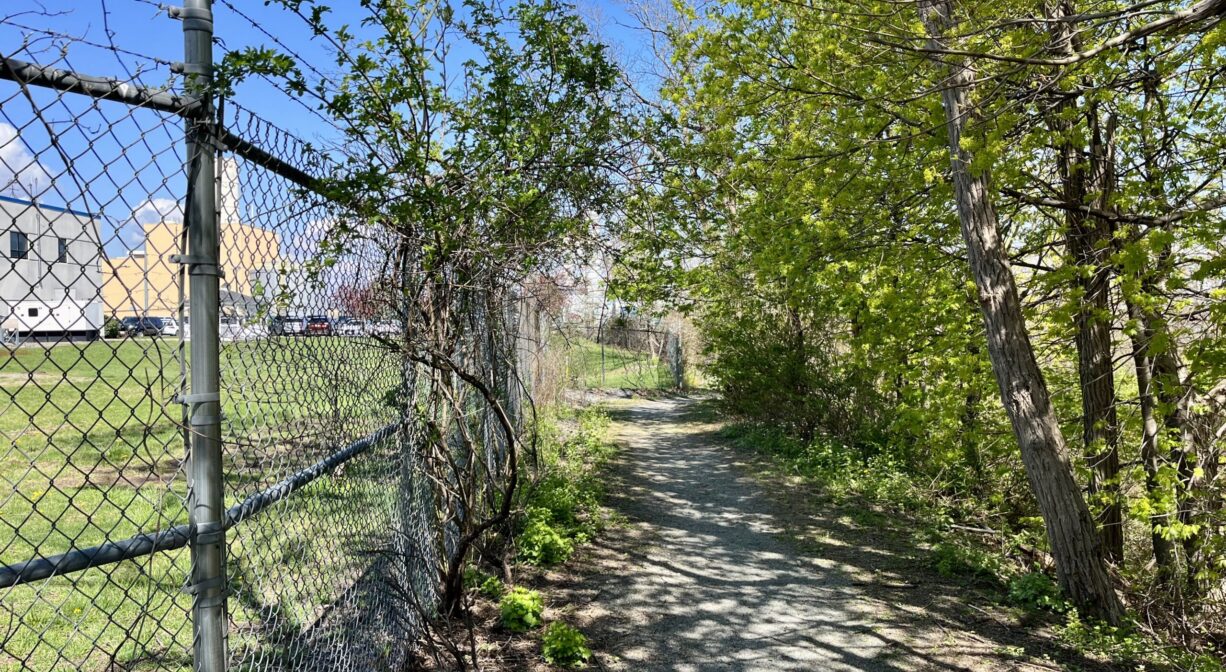
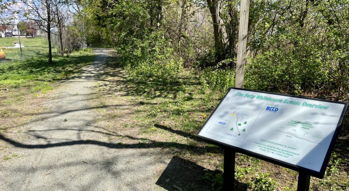
The 0.13-mile gravel Patty Whitehouse Scenic Overview Trail, located next to the Braintree Electric Light Department, offers beautiful views of the Fore River.
Hunting is not allowed on this property.
Features
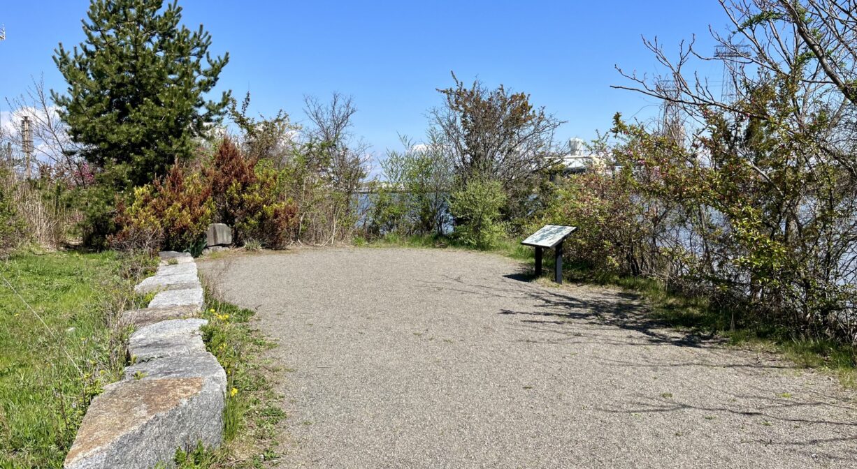
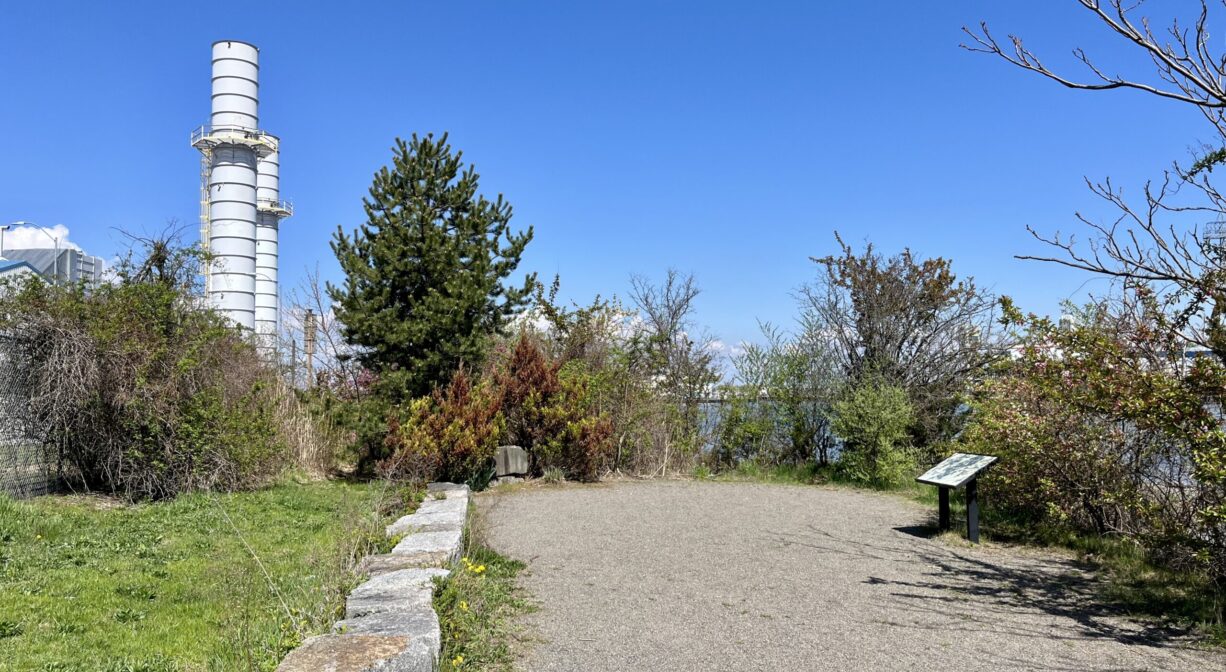
This ADA-accessible walkway was constructed by Braintree Electric Light Department, in honor of Patricia Whitehouse, a strong advocate for the Fore River.
This land is within the region of the Massachusett (or Massachuseuk). To learn more about local Native American tribes, we encourage you to interact with their members. The Massachusett tribe at Ponkapoag shares information on its website.
Trail Description
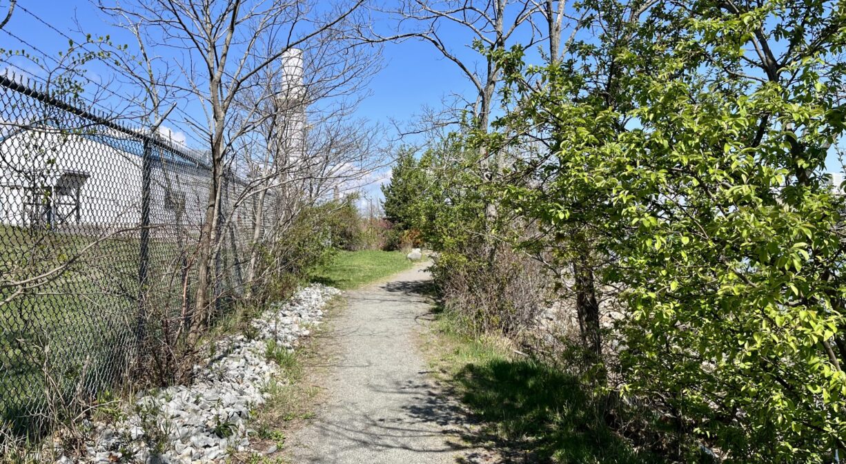
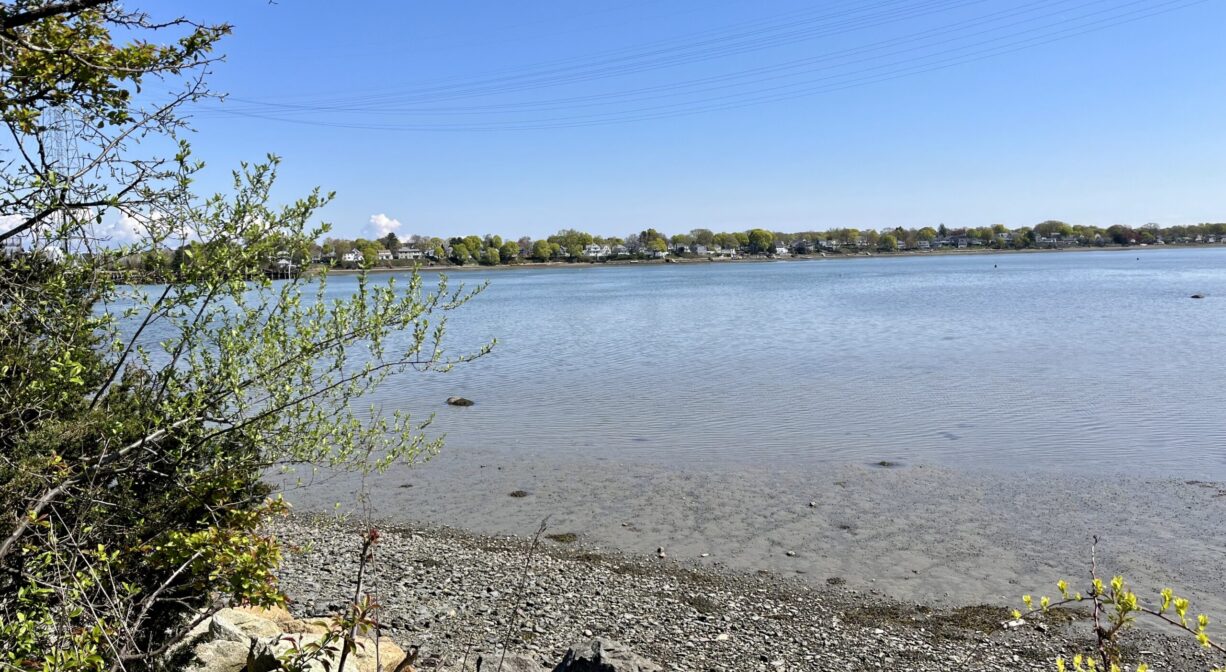
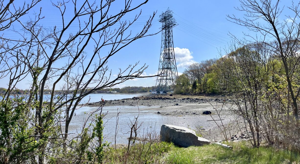
Look for the trailhead on Glenrose Avenue, to the east of the Braintree Electric Light Department. The gravel trail leads down a moderately sloping hill, with occasional railings, for 0.13 miles, to an overlook on the Fore River. At the overlook, there is some interpretive signage as well as a gorgeous view!
For a longer walk, park at Smith Beach, about 0.4 miles away, and follow Vinedale Road and Glenrose Avenue to the trailhead.
Habitats and Wildlife
The trail extends through a grassy area, with some oaks, maple, and sumac. The overlook offers views of the Fore River.
The Fore River serves as the boundary line between the towns of Weymouth and Braintree. It flows for about 3 miles, into Quincy, where it meets Town River, and then flows for another 2 miles into Hingham Bay. In its final few miles, the Fore River is nearly a mile wide in some places.
Follow the Fore River Watershed Association more information about the Monatiquot and Fore Rivers.
Historic Site: No
Park: Yes
Beach: No
Boat Launch: No
Lifeguards: No
Size: 0.13 mile
Hours: Dawn to Dusk
Parking: Very limited roadside parking. Additional parking at Smith Beach.
Cost: Free
Trail Difficulty: Easy
Facilities:
Trash receptacle, interpretive signage, Geocache location.
Dogs: Dogs must remain on leash. Always clean up after your dog!
Boat Ramp: No
ADA Access: Yes
Scenic Views: Yes
Waterbody/Watershed: Fore River