
151 Old Farm Rd, Hanover, MA 02339, USA
Owned By: Town of Hanover
Hanover’s Pine Island is not actually an island. This 20-acre conservation property offers about a mile of pleasant walking trails through meadow and forest. It is bordered by the Pine Island Swamp. Extend your walk by also visiting the Plain Street Trails, in the same neighborhood.
Hunting is not permitted on this property.
Features
This land is within the region of the Massachusett (or Massachuseuk). To learn more about local Native American tribes, we encourage you to interact with their members. The Massachusett tribe at Ponkapoag and the Mattakeeset band of the Massachusett share information on their websites.
According to John S. Barry’s A Historical Sketch of the Town of Hanover, a Native American family led by a couple known as King Dick and Queen Daphne lived on Pine Island (no date is given). A Native American burial ground is located on this property as well. According to Barry, prior to a September 1815 gale, the funeral mounds could be distinctly seen, but all traces have since disappeared.
Trail Description
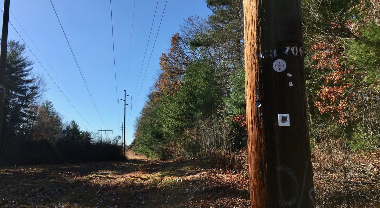
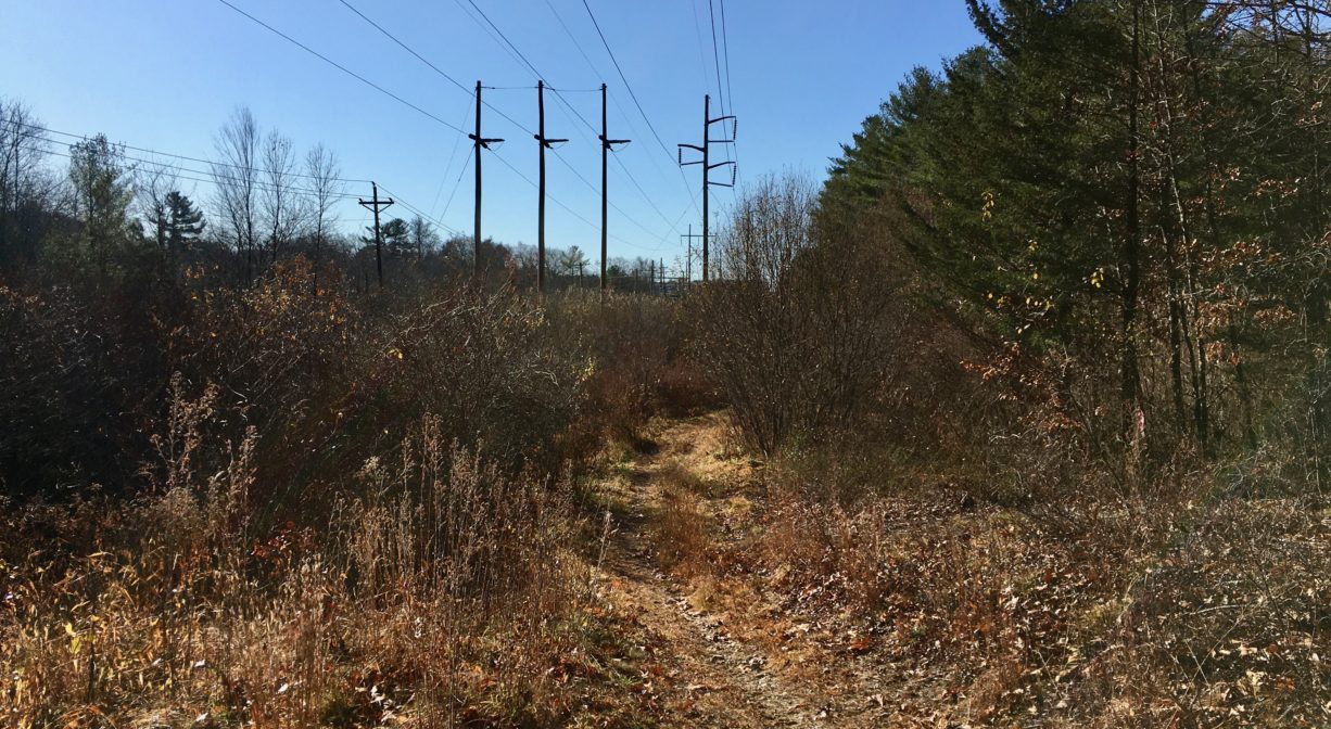
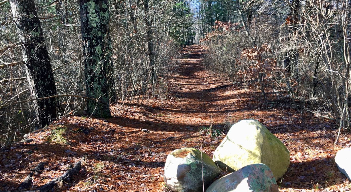
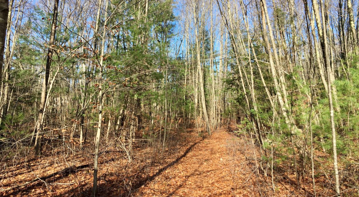
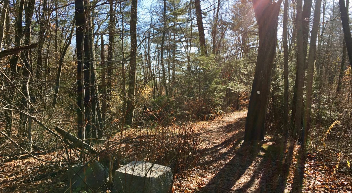
From the trailhead near 155 Old Farm Road, the trail, blazed with green Hanover Conservation markers, zigzags through the woods and eventually emerges in an open meadow. You can continue along a power easement for another half mile to another intersection with Old Farm Road, closer to Plain Street, and then return to your starting point by following Old Farm Road itself.
Habitats and Wildlife
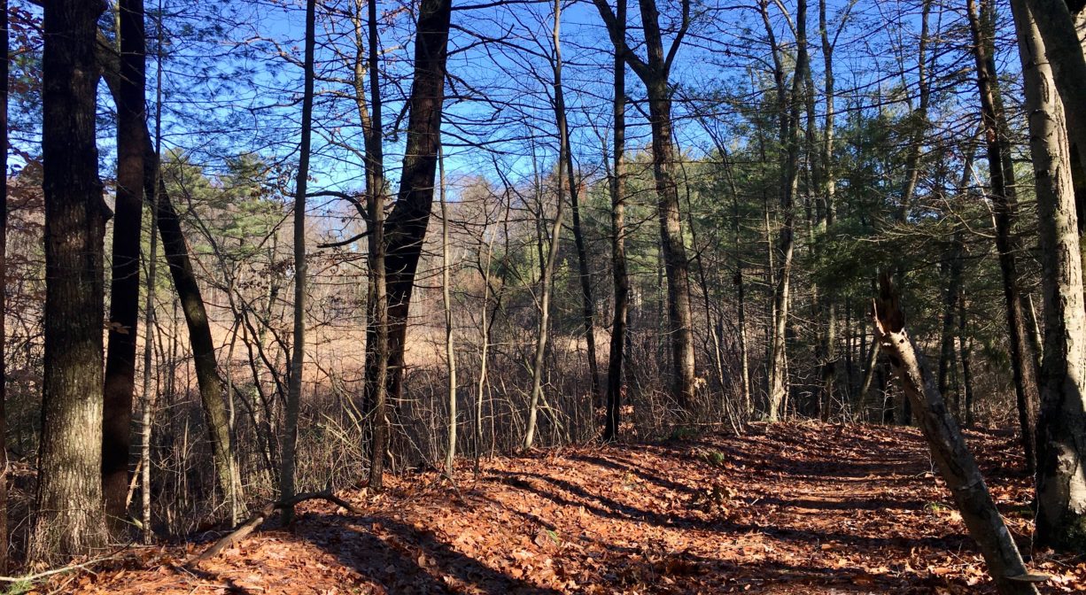
This area contains wetlands as well as some upland forest. Trees include pine, oak, birch and holly. The streams and swamps in this area drain to the Drinkwater River.
According to Martha Campbell’s Remembering Old Abington, the name “Drinkwater River” is said to be an Anglicized version of the original Native American name for the stream, Nannumackeuitt, “which meant that a hollow stem had to be used as a straw when sucking up water from this shallow, sluggish stream.” However in A Historical Sketch of the Town of Hanover, John S. Barry indicates that the name derives from the occasional of a new sawmill opening a short distance upstream of Forge Pond, near Ellis’s Bridge, after the original mill was burned down in 1676 during King Philips’ War. After “cold water, instead of spirituous liquors, was furnished as a beverage,” the term “Drinkwater” emerged.
The Drinkwater River merges with French’s Stream to form the Indian Head River. The Indian Head River forms the boundary between Hanover and Hanson, and merges with Pembroke’s Herring Brook, a short distance downstream of Ludden’s Ford Park, to form the North River at a spot called The Crotch. The North River flows 12 miles through Pembroke, Hanover, Norwell, Marshfield and Scituate, eventually making its way to Massachusetts Bay and the Atlantic Ocean.
Historic Site: No
Park: No
Beach: No
Boat Launch: No
Lifeguards: No
Size: 20 acres
Hours: Dawn to Dusk
Parking: Limited roadside parking at two different Old Farm Road trailheads.
Cost: Free
Trail Difficulty: Easy
Dogs: Dogs must remain on leash. Always clean up after your dog.
Boat Ramp: No
ADA Access: No
Scenic Views: Yes
Waterbody/Watershed: (Drinkwater River) North River watershed