
244 Plain St, Hanover, MA 02339, USA
Owned By: Town of Hanover
Hanover’s Plain Street Trails extend for about 2 miles through 65 acres of woods and wetlands. Continue your walk by visiting the Pine Island Trail, in the same neighborhood.
Hunting is not permitted on this property.
Features
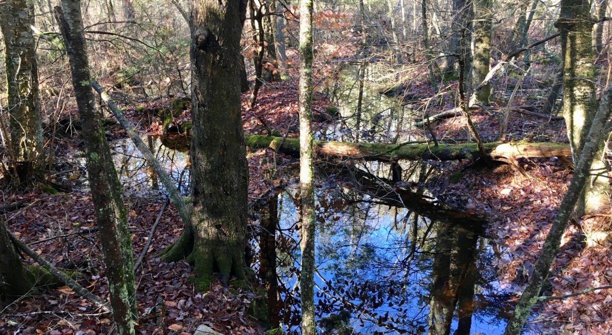
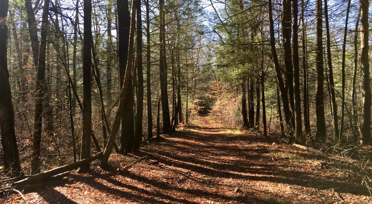
Similar to the currently-closed Hanover Fireworks conservation parcel, and the Old Rockland Fireworks Loop in Hanover’s Forge Pond Park, this property was once home to a fireworks manufacturing plant. A network of diked trails reveals its industrial past.
According to an article by Doug Thomson entitled “The Plain Street Property,” during World War II, most of Plain Street was closed to the public. On both sides of the street, the National Fireworks Company constructed Pilgrim Ordnance, a magnesium manufacturing plant. The paths and roads within the property connected the company’s numerous small buildings. The location was chosen, in part, because the swamp land could contain the extreme fire hazard of magnesium production. The military also briefly used the location to house prisoners of war. Soon after the war ended, the military closed the plant and sold the property.
This land is within the region of the Massachusett (or Massachuseuk). To learn more about local Native American tribes, we encourage you to interact with their members. The Massachusett tribe at Ponkapoag and the Mattakeeset band of the Massachusett share information on their websites.
Trail Description
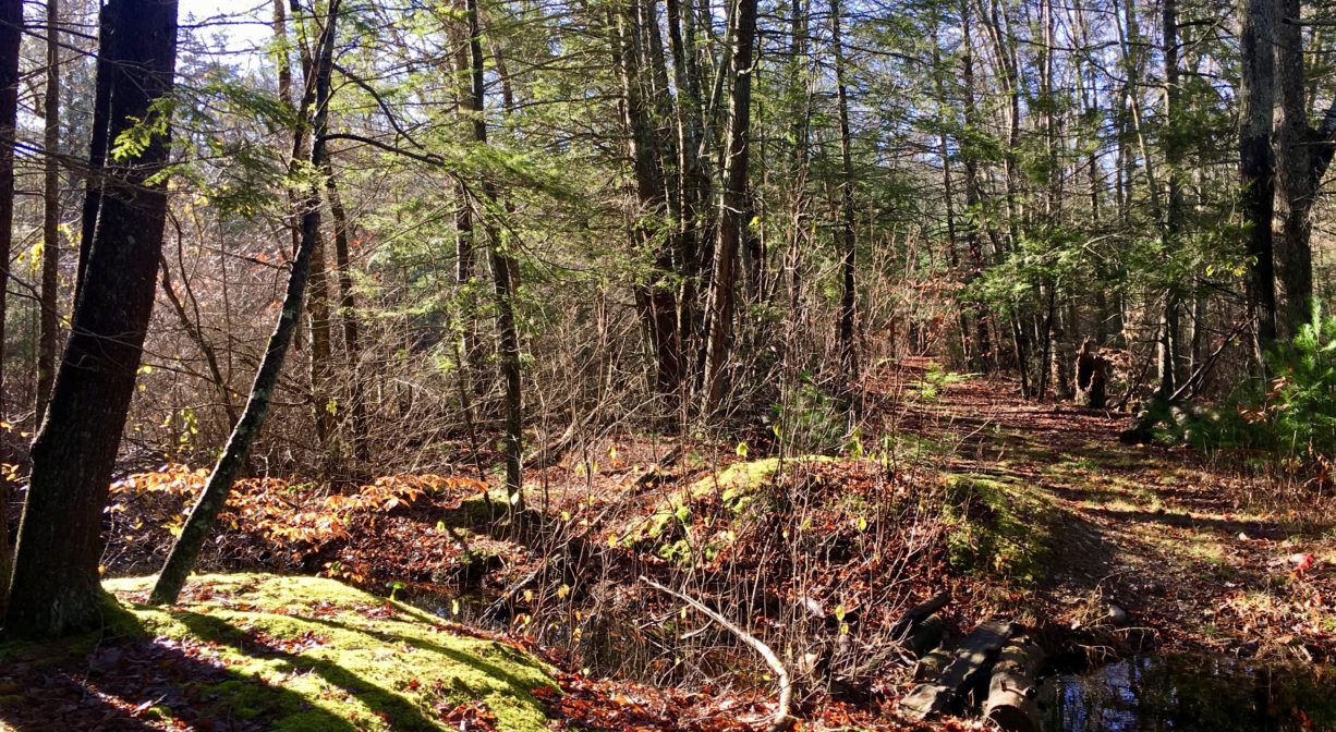
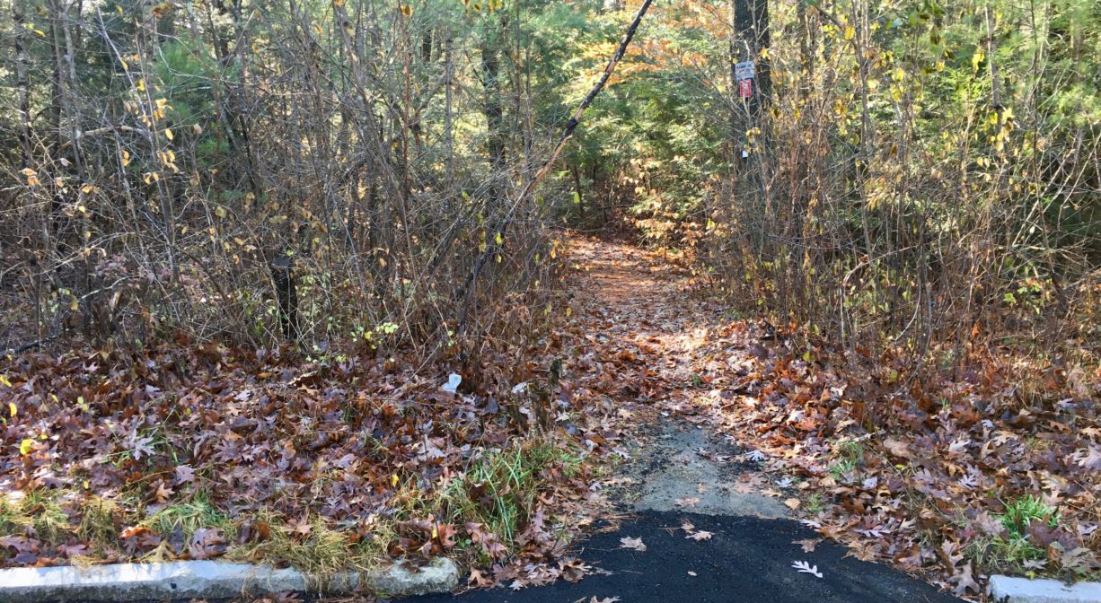
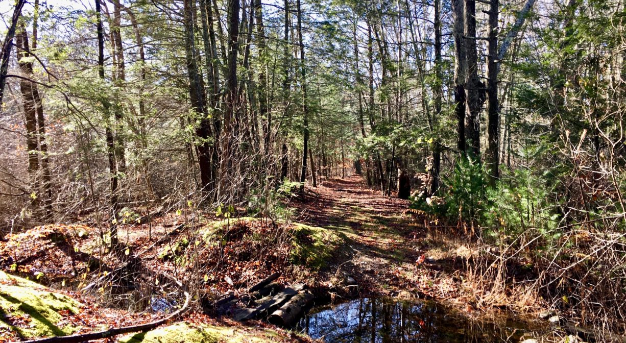
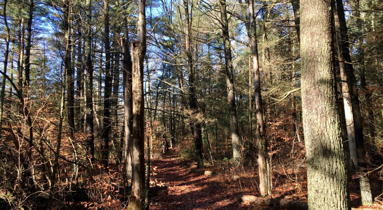
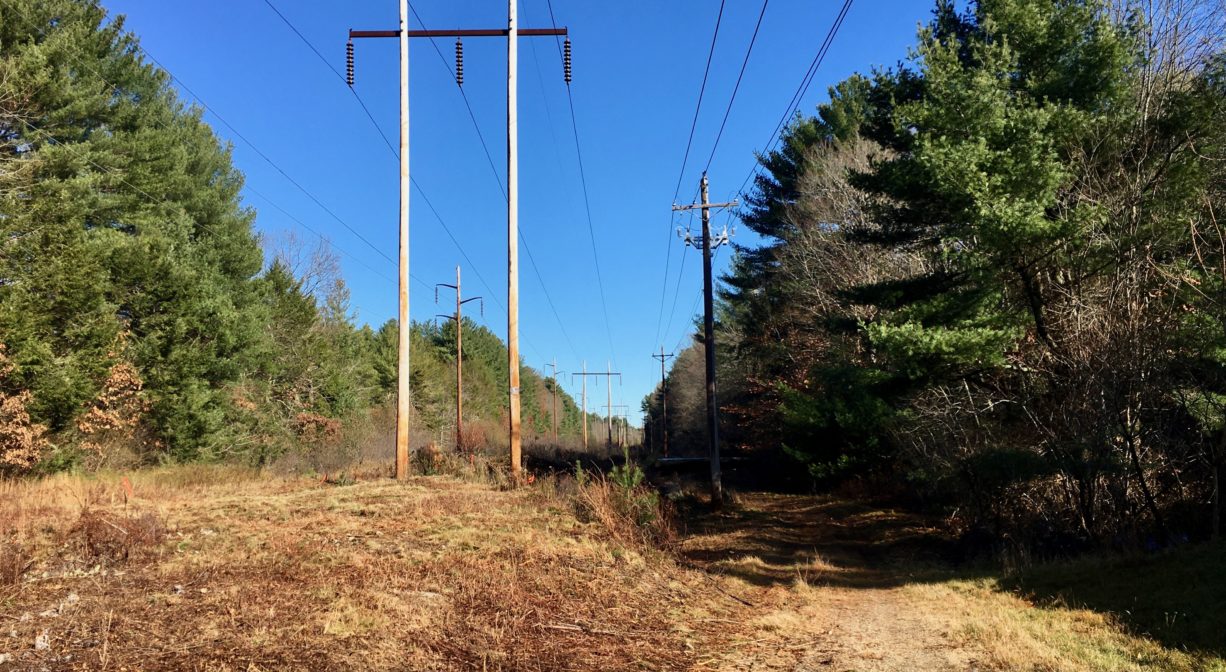
This property features about 2 miles of intersecting trails. The main trail, which is relatively wide, follows an old road, while the spur trails are narrower. From the trailhead on Old Farm Road, the main trail leads along a power easement and then into the woods. There is a loop blazed with green and red Hanover Conservation markers, plus spur trails to Colonial Drive, Tucker Road, Aspen Drive, and Fair Acres Drive.
Habitats and Wildlife
This area contains wetlands as well as some upland forest. Trees include pine, oak, beech, birch and hemlock. The streams and swamps in this area drain to Bailey’s Brook, a tributary to the Drinkwater River.
According to Martha Campbell’s Remembering Old Abington, the name “Drinkwater River” is said to be an Anglicized version of the original Native American name for the stream, Nannumackeuitt, “which meant that a hollow stem had to be used as a straw when sucking up water from this shallow, sluggish stream.”
The Drinkwater River merges with French’s Stream within Hanover’s Forge Pond Park to form the Indian Head River. The Indian Head River is the boundary between Hanover and Hanson. It merges with Pembroke’s Herring Brook, a short distance downstream of Ludden’s Ford Park, to form the North River at a spot called The Crotch. The North River flows 12 miles through Pembroke, Hanover, Norwell, Marshfield and Scituate, eventually making its way to Massachusetts Bay and the Atlantic Ocean.

Historic Site: No
Park: No
Beach: No
Boat Launch: No
Lifeguards: No
Size: 65 acres
Hours: Dawn to Dusk
Parking: Pedestrian access with roadside parking on Old Farm Road, Fair Acres Drive, Aspen Drive, Tucker Road, and Colonial Drive.
Cost: Free
Trail Difficulty: Easy
Facilities:
Geocache location.
Dogs: Dogs must remain on leash. Please clean up after your pet!
Boat Ramp: No
ADA Access: No
Scenic Views: Yes
Waterbody/Watershed: Bailey's Brook (North River watershed)