Owned By: NSRWA
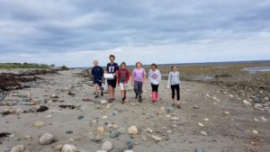
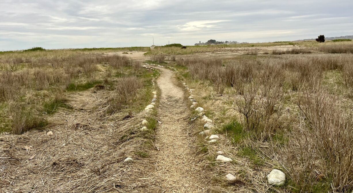
Scituate’s Preble Property, a 50-acre parcel of marsh and barrier beach, was deeded to the NSRWA in 1975. The marsh protects the nesting grounds for the piping plover. There is pedestrian access via a path at the corner of Collier and Moreland Roads, but no public parking. A 0.12-mile walkway that leads to The Spit. Best access is during low tide.
Features
The Preble Family deeded this property to the North and South Rivers Watershed Association in 1975.
This land is within the region of the Massachusett (or Massachuseuk). To learn more about local Native American tribes, we encourage you to interact with their members. The Mattakeeset band of the Massachusett, and the Massachusett tribe at Ponkapoag, both share information on their websites.
Trail Description
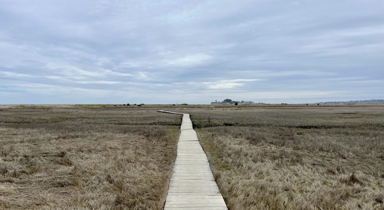
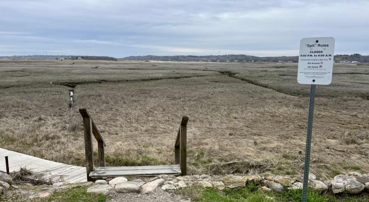
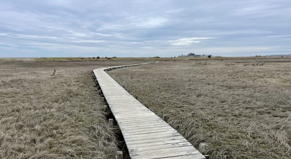
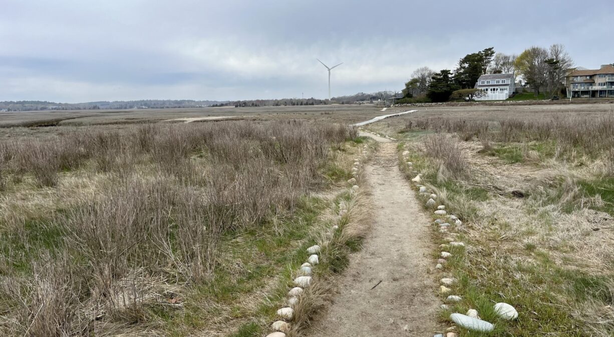
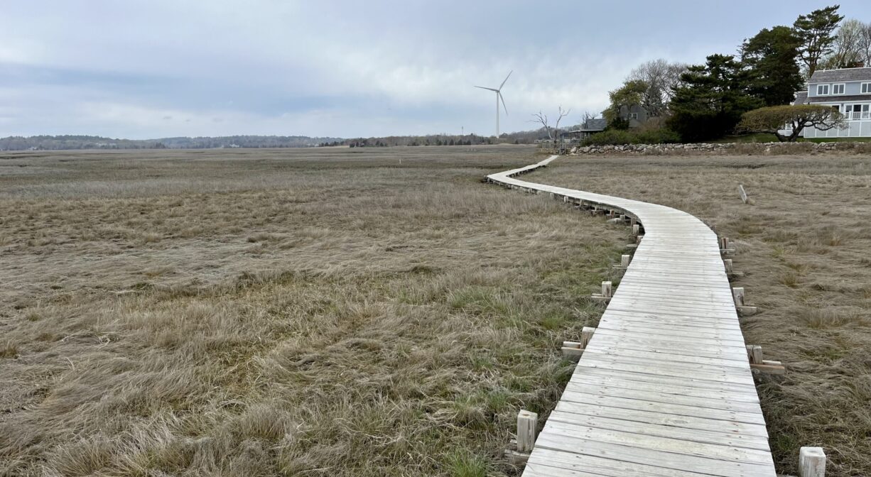
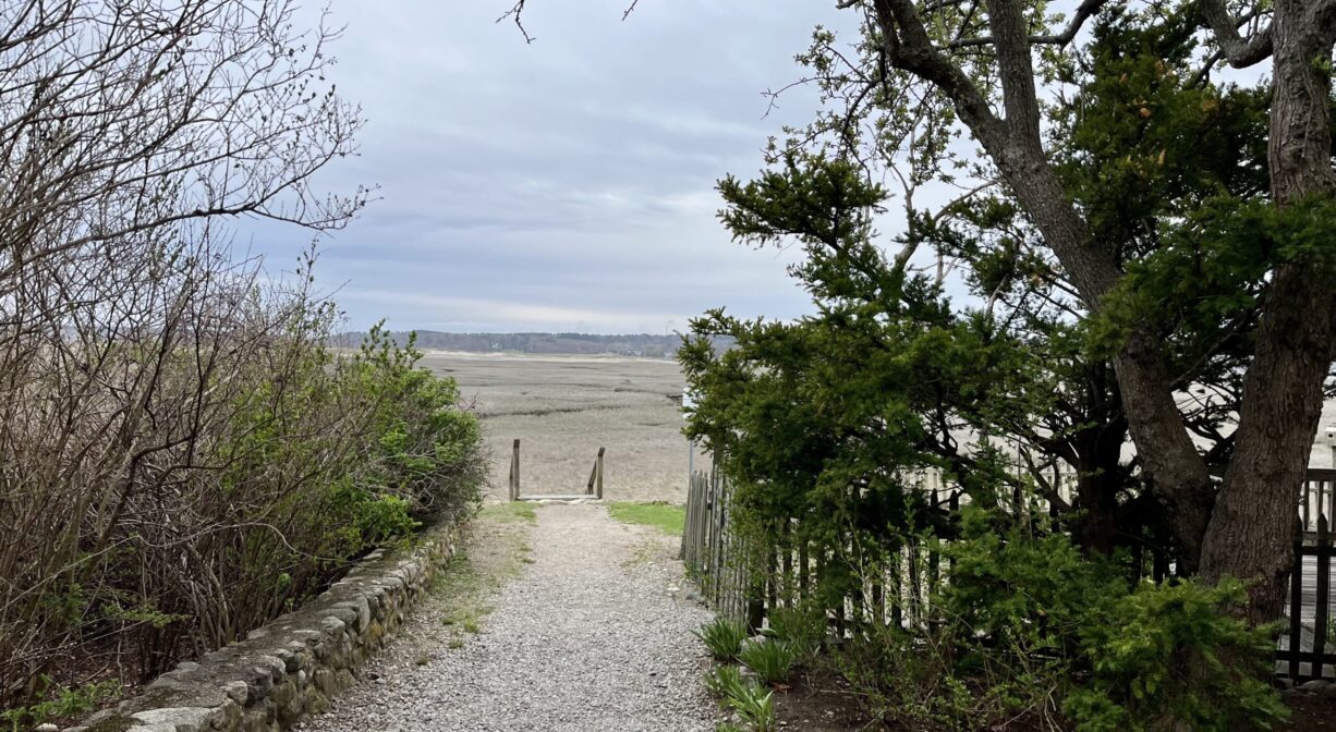
Parking is not available on site. Pedestrians, look for the driveway at 78 Moorland Road, which leads to a short staircase and a 0.12-mile boardwalk across the marsh. Follow the boardwalk and trail to The Spit, but make sure you go at low tide or you’ll get your feet wet! At higher tides, the trail is usually flooded.
Habitats and Wildlife
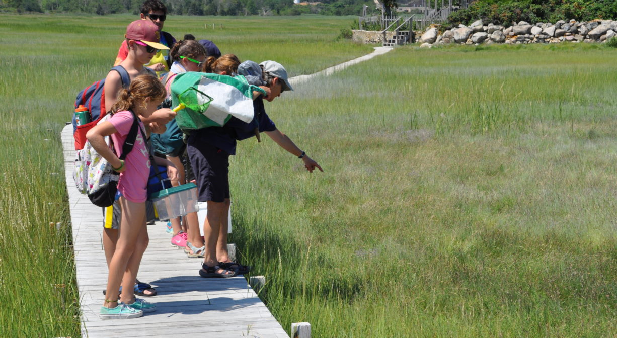
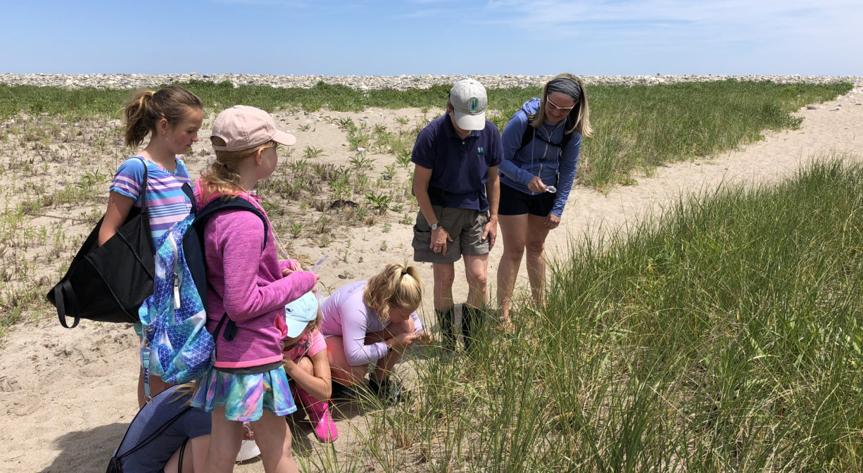
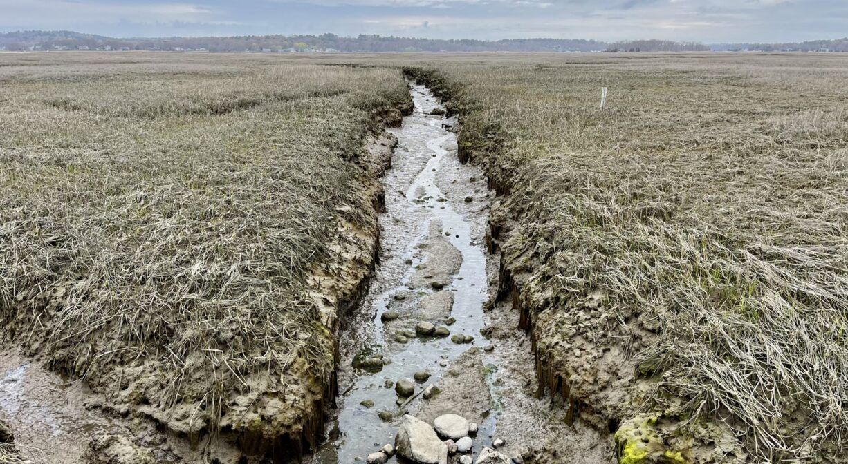
Many native species thrive in the salt marsh. Fish enter the North River through New Inlet (the river mouth) and travel up creeks into the Preble Property. The presence of fish attracts many bird species, such as blue heron and osprey, who hunt for fish as they travel upriver. The Preble Property within the watershed of the North River.
Approximately 10 miles in length, the North River begins at the confluence of the Indian Head River (Hanover) and Herring Brook (Pembroke). From there it flows through the towns of Hanover, Pembroke, Marshfield, Norwell, and Scituate. It empties into the Atlantic Ocean between Third and Fourth Cliffs, draining approximately 59,000 acres along the way.

Historic Site: No
Park: No
Beach: No
Boat Launch: No
Lifeguards: No
Size: 50 acres
Hours: Dawn to Dusk
Parking: No public parking.
Cost: Free
Trail Difficulty: Easy
Facilities:
Boardwalk.
Dogs: No
Boat Ramp: No
ADA Access: No
Scenic Views: Yes
Waterbody/Watershed: North River