
Owned By: Town of Scituate
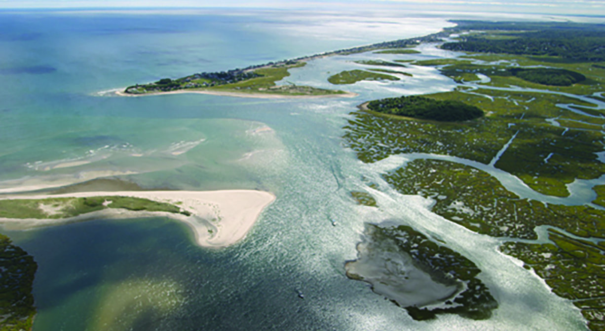
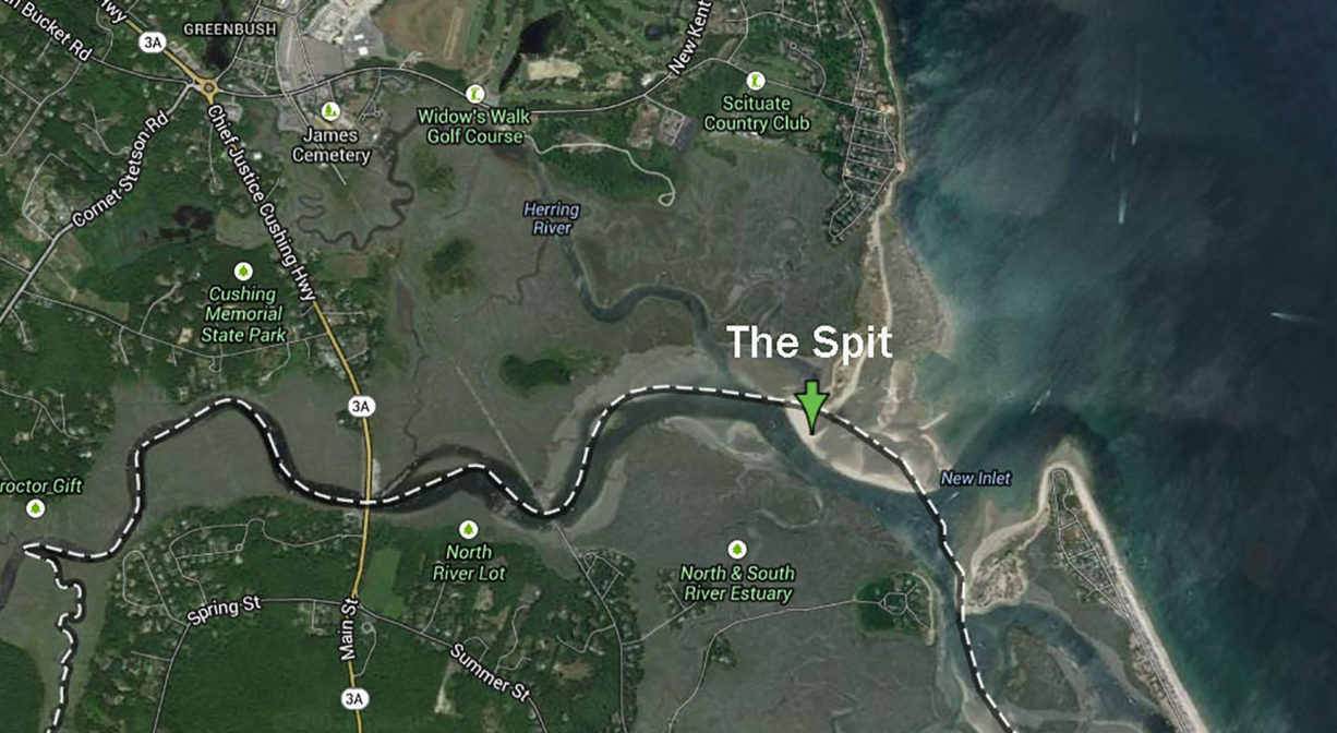
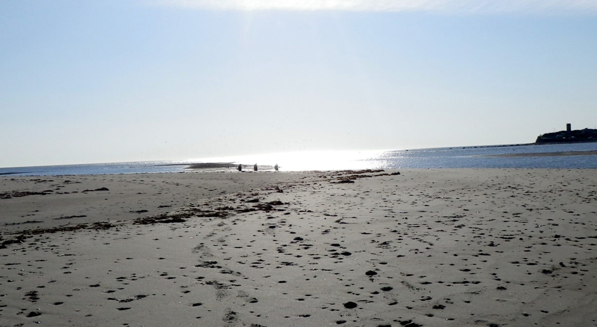
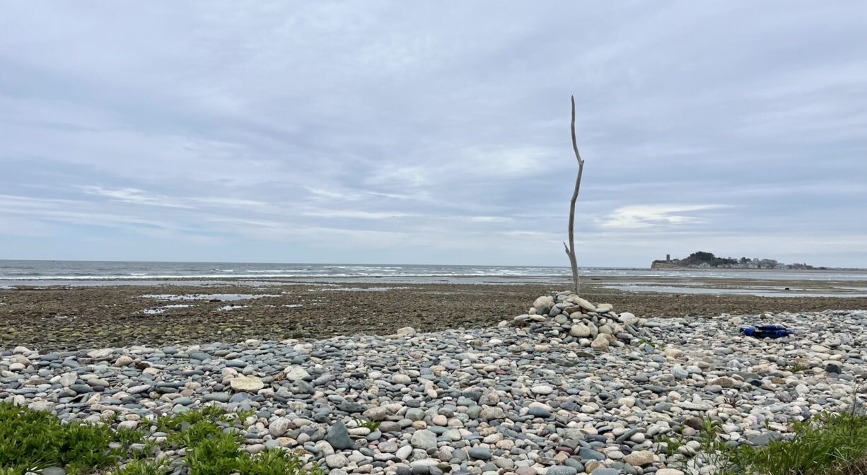
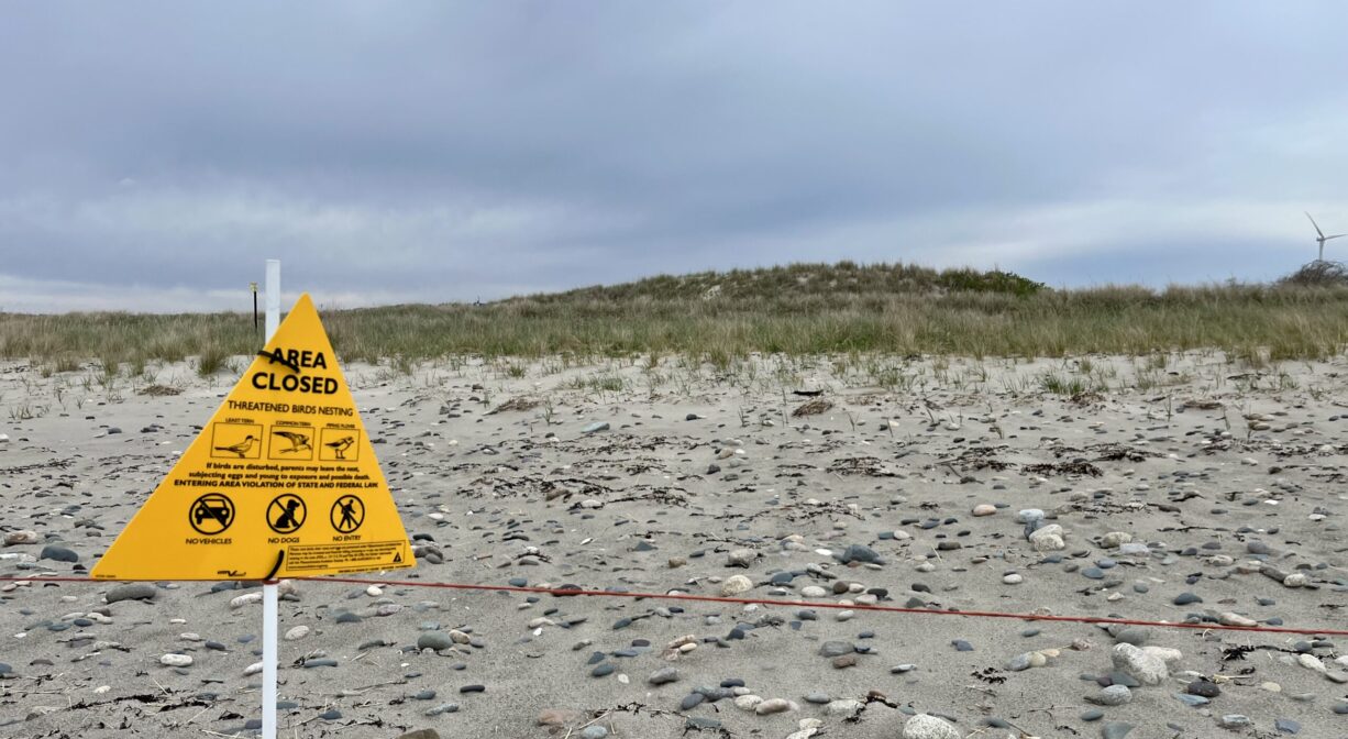
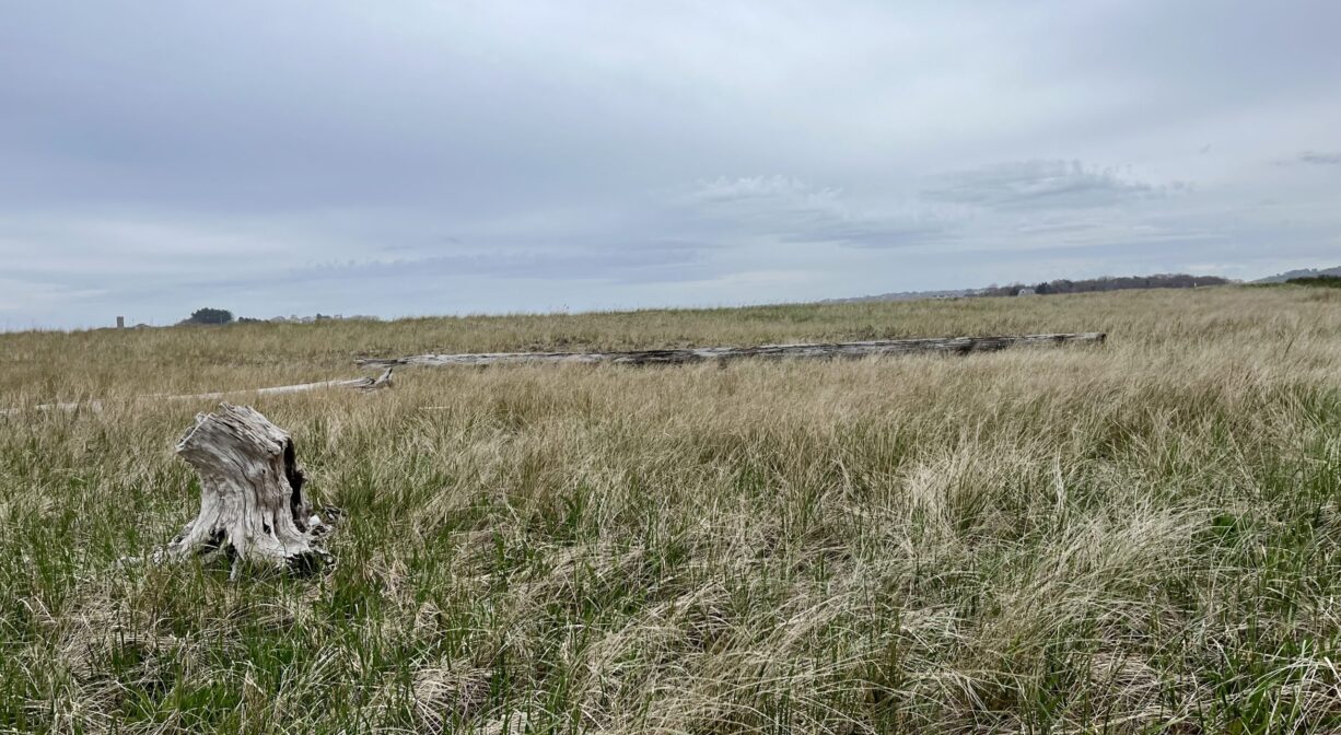
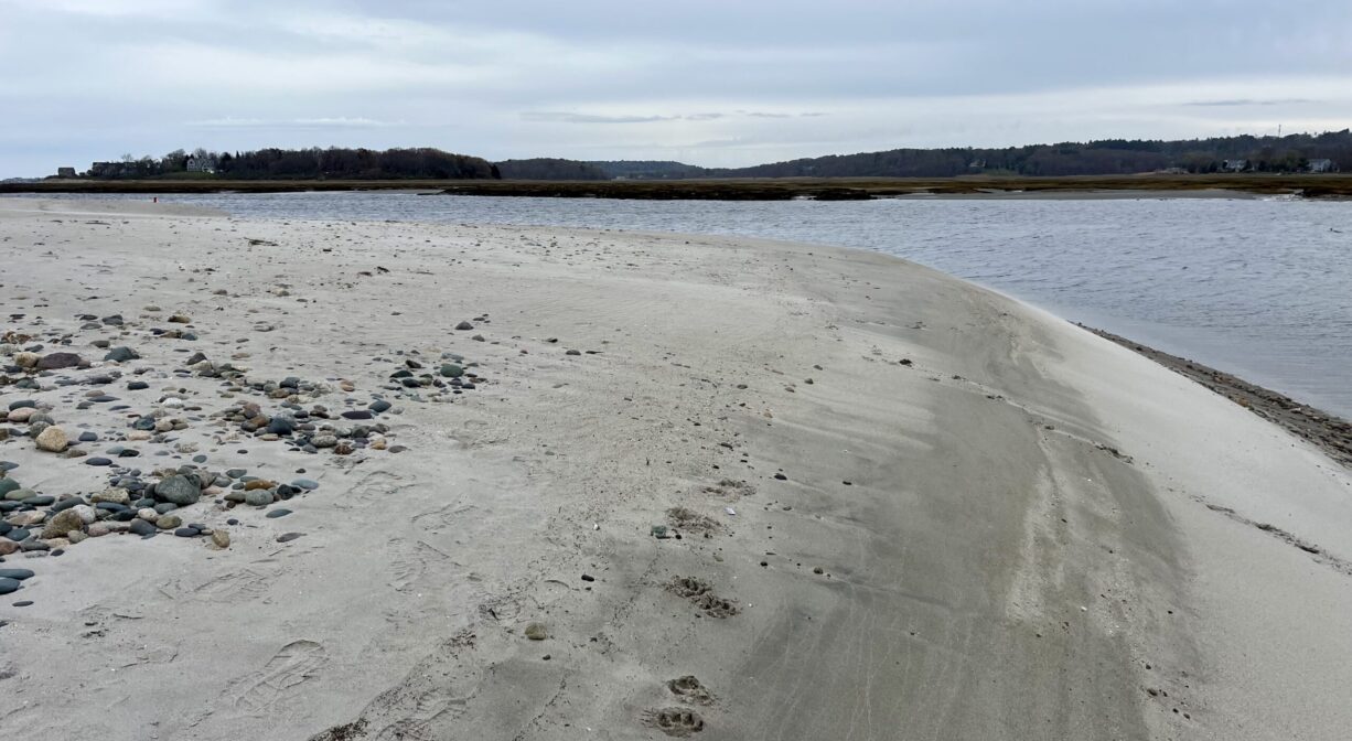
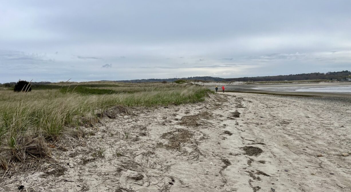
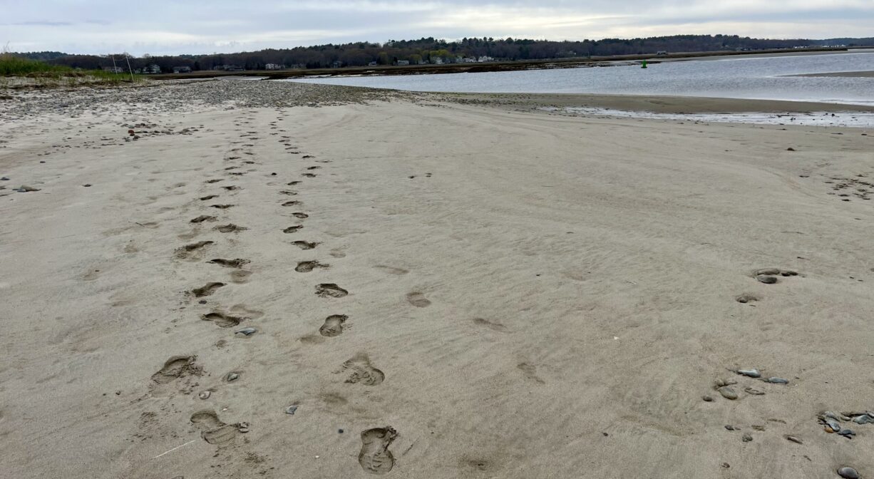
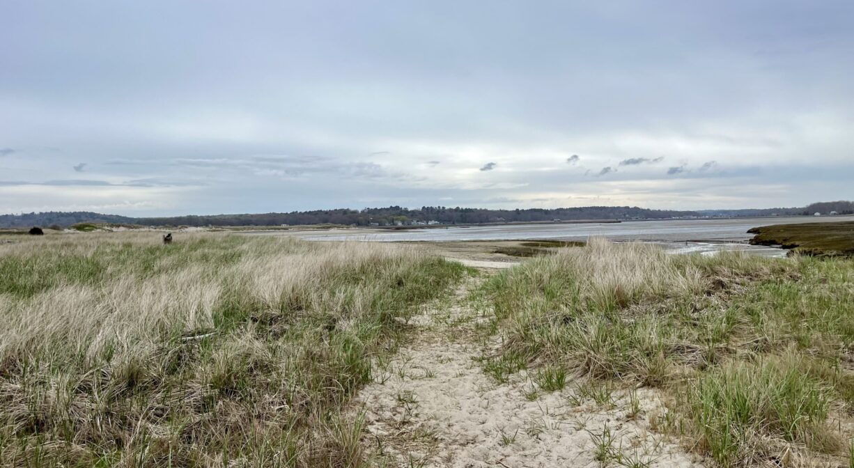
The Spit is located at the mouth of the North River in Scituate, at the southern edge of Third Cliff. A small barrier island overwashed by tides, it is especially popular during summer low tides, which allow more room to park a beach chair or blanket. The wide, flat, sandy terrain of The Spit is habitat for the Least Tern and the endangered Piping Plover. Please respect and avoid their marked nesting areas.
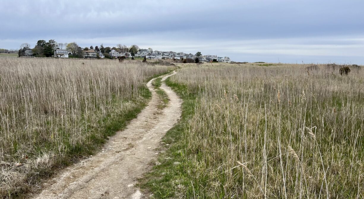
The Spit is accessible by boat, or on foot via a trail/boardwalk from the Preble Property on Third Cliff. (Please note: public parking is not available.)
ALERT FROM HARBORMASTER (June 2025): Attention boaters transiting the South River. A recent survey shows significant shoaling at the entrance into the South River, the shoaling as depicted on the survey starts at the entrance into the South River; near Green buoy #9. The shoaling continues towards South River Red buoy #2. This area was last dredged in 2019. However, significant shoaling has returned. The Towns of Marshfield and Scituate are working with federal agencies and state delegations to seek the needed funding to assist with this hazard to navigation. Mariners should use extreme caution when transiting this area and avoid transiting within 2 hours either side of the low tide. Larger drafted vessels may need additional tide to safely pass.
SHELLFISHING: The shellfish beds in both the North and South Rivers are now closed for the season. They are typically open from November 1 to May 31st. Please visit our Shellfishing page for maps and permit info.
FISHING ADVISORY: It’s important to know that some of our freshwater fisheries are contaminated with mercury, PFAS and/or other concerning substances. The Massachusetts Department of Public Health maintains an online database with up-to-date advisories regarding fish consumption, sorted by location. We recommend you consult this valuable resource when planning a fishing excursion.
SWIMMING: Massachusetts routinely checks water quality at public swim spots and shares the data in an online database. Save this link so you can check water quality before you go.
Features
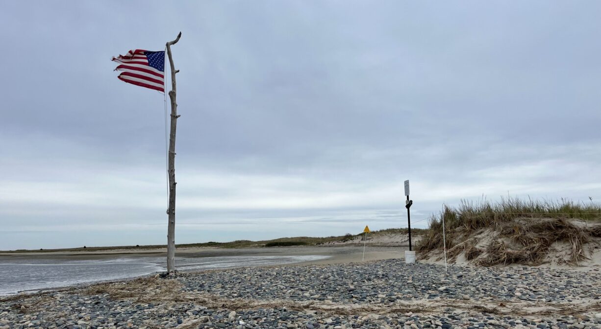
Boats often drop anchor at this beautiful sandy beach, which is a sand spit that also goes by the name Sandy. On summer weekends, The Spit can be extremely crowded, but it’s much less populated on weekdays. Due to strong currents, paddleboarding, canoeing and kayaking are not recommended. To learn more about The Spit, check out this 7-minute video by David Larkin.
It’s hard to imagine now, but prior to the 1898 Portland Gale, which created a new mouth for the North River at this spot (New Inlet), a barrier beach and roadway connected Third and Fourth Cliffs.
This land is within the region of the Massachusett (or Massachuseuk). To learn more about local Native American tribes, we encourage you to interact with their members. The Mattakeeset band of the Massachusett and the Massachusett tribe at Ponkapoag share information on their websites.
Trail Description
A boardwalk extending from the adjacent Preble Property leads through the marsh and eventually to The Spit. For pedestrian access, follow the path that begins at the corner of Collier and Moreland Roads, on Third Cliff in Scituate. No public parking is available. The boardwalk begins between two houses and continues for about a tenth of a mile to The Spit.
Habitats and Wildlife
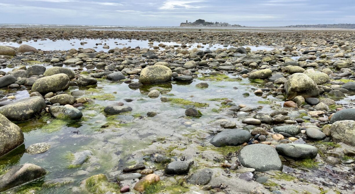
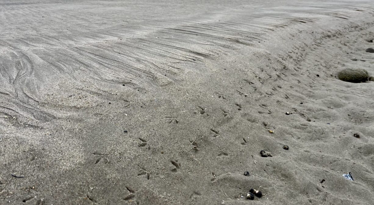
The Spit is located near the mouth of the North River. It is a barrier beach with an extensive salt marsh. Sandpipers abound on the inner mud flats. Also look for false angelwing shells. Piping plovers are a threatened shore bird species that inhabit beaches and dunes in Massachusetts and surrounding states. Massachusetts has the largest breeding population. Mass Audubon protects their nesting sites on The Spit in the spring, and also protects nesting sites for terns. Striped bass and other fish species are popular around The Spit, since it is a dual river mouth.
The North River, approximately 10 miles in length, begins at the confluence of the Indian Head River (Hanover) and Herring Brook (Pembroke). From there it flows through the towns of Hanover, Pembroke, Marshfield, Norwell, and Scituate. It empties into the Atlantic Ocean between Third and Fourth Cliffs, draining approximately 59,000 acres along the way.
Historic Site: No
Park: No
Beach: Yes
Boat Launch: No
Lifeguards: No
Size: 160 acres (at low tide)
Hours: Dawn to Dusk
Parking: Primarily accessed by boat. There is no public parking close to The Spit.
Cost: Free
Trail Difficulty: Easy
Facilities:
Geocache location.
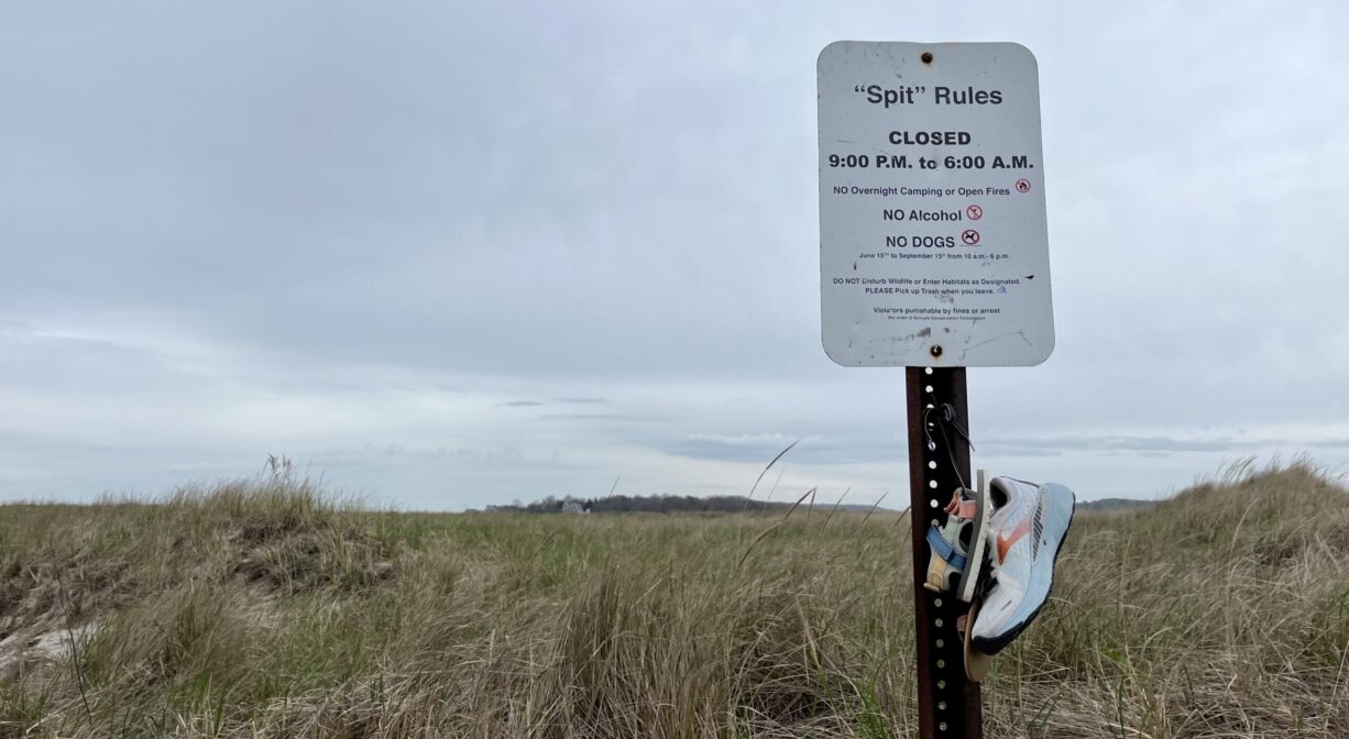
Dogs: Dogs are not allowed June 15th - September 15th. Leashed dogs are allowed in the off season. Always clean up after your dog!
Boat Ramp: No
ADA Access: No
Scenic Views: Yes
Waterbody/Watershed: North River