
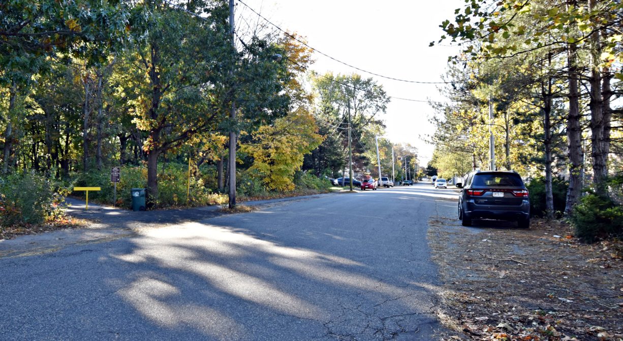
638 Market St, Rockland, MA 02370, USA
Town of Rockland: 781-871-1874
Owned By: Massachusetts Department of Conservation & Recreation (DCR)
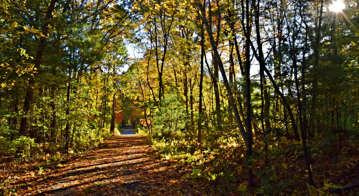
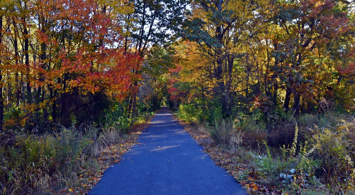
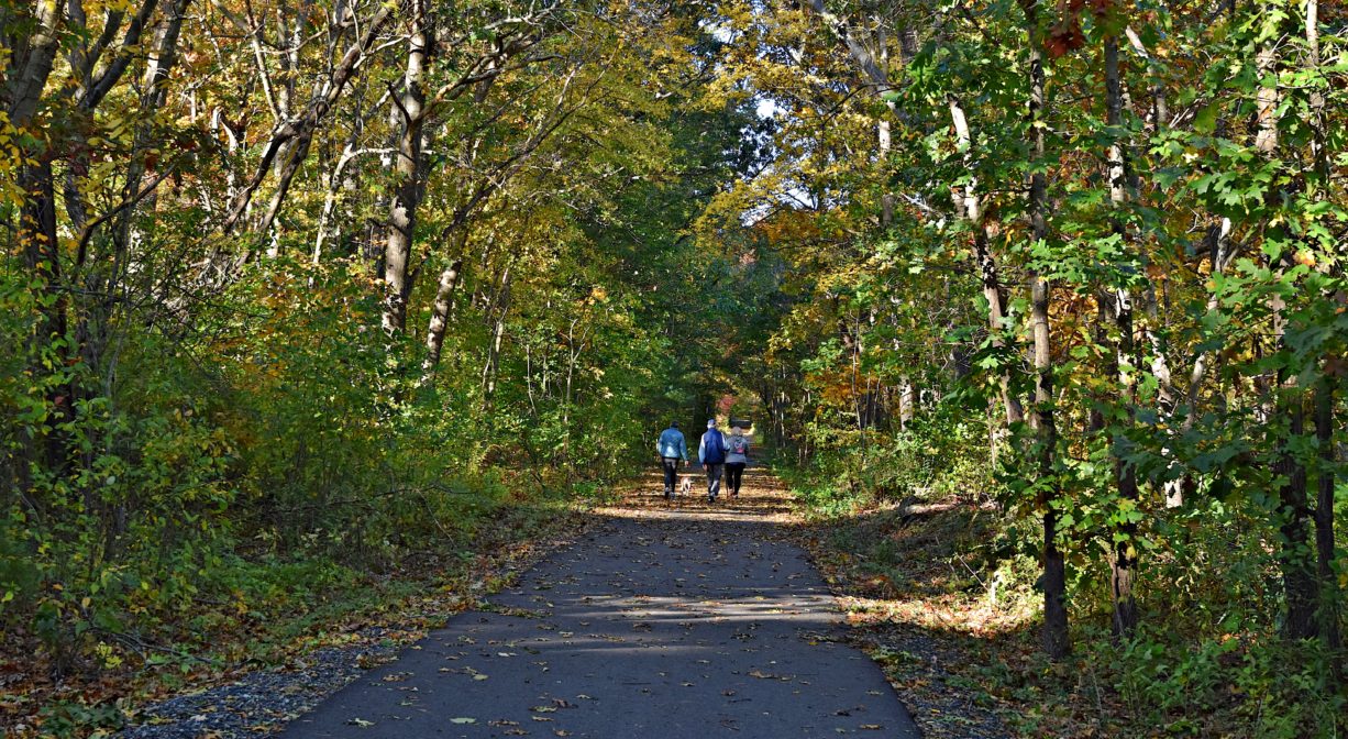
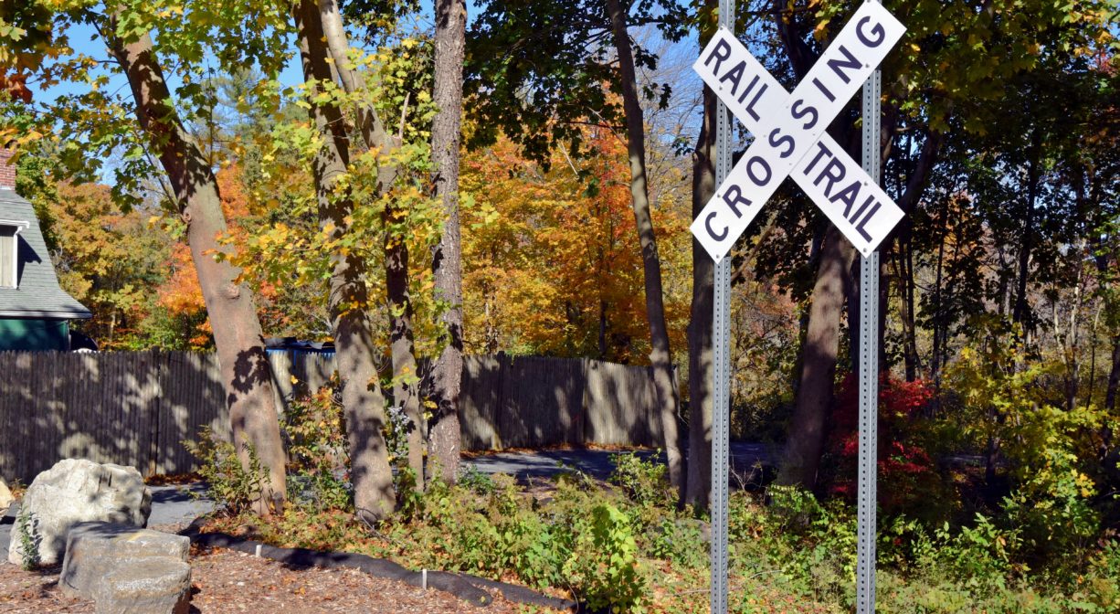
The 3.5-mile paved Rockland Rail Trail extends from West Hanover, through Rockland, to North Abington. Ideal for walking and bicycling, it offers numerous access points. Wheelchair- and stroller-friendly. Also see listing for Hanover Branch Rail Trail.
Features
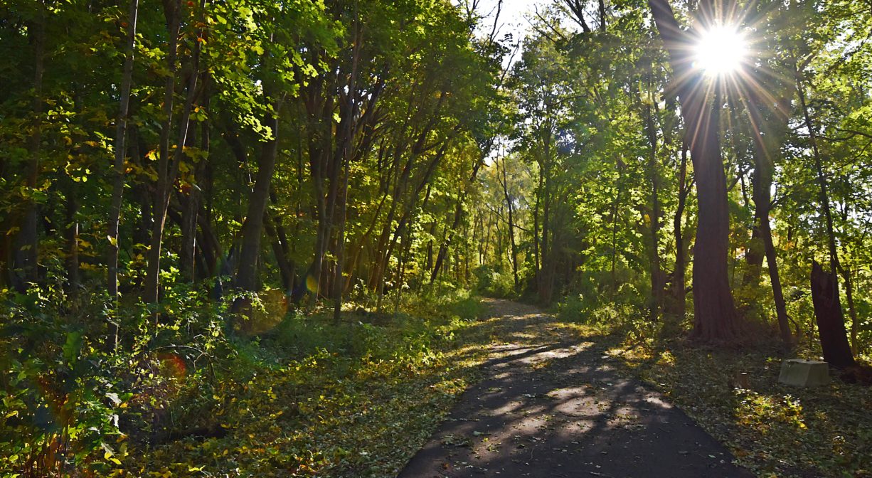
The Rockland Trail Trail, also known as the Hanover Branch Rail Trail, extends from West Hanover, through Rockland, to Monroe Street in North Abington. Because it is fully paved, it can be used not only by hikers and cyclists, but also people who use walkers, wheelchairs, and strollers.
The Hanover Branch Railroad once extended for 7.8 miles from Hanover Four Corners, through South and West Hanover, across Rockland, to North Abington, where it connected with the Old Colony Railroad to Plymouth. Incorporated in 1846, and constructed over the next 20 years, it officially opened for service in 1868.
Edward Young (E. Y.) Perry — a businessman, Justice of the Peace, and abolitionist — operated a tack factory in South Hanover, and was largely responsible for the creation of the railway. According to Martha Campbell’s Remembering Old Abington, it was his idea, and he financed it, operated it and provided business for it. He also owned a general store (now Myette’s) and constructed the building in South Hanover that for many years housed a series of a shoe factories – Goodrich, Cochran, and Shanley — and later the Clapp Rubber Company. The railway facilitated the transport of materials and finished products to and from these and other enterprises. While freight handling was its primary source of revenue, it also offered passenger service.
The Old Colony Railroad absorbed the Hanover Branch in 1887. In 1893, the New York, New Haven and Hartford Railroad took over the lease. The railroad continued to operate well into the 20th century. In 1969, after Penn Central purchased it, the track were torn up from West Hanover to Hanover Four Corners. In 1973, the Massachusetts MBTA took over what remained of the line.
The effort to convert the railway to a walking trail began in 1999, as part of Rockland’s Master Plan. A top priority was the development of open and recreational space. The towns of Rockland and Hanover worked together to acquire two Greenways Grants from the Commonwealth of Massachusetts. A land swap related to the re-establishment of the Greenbush Line (Hingham, Cohasset, and Scituate) transferred the land from the MBTA to the Massachusetts Department of Conservation and Recreation, with oversight by the National Park Service.
The Rockland Open Space Committee worked with Iron Horse Preservation Society to remove the ties, and tracks, and to grade the land for trail use. Since opening to the public, it has become a much-loved and well-used community resource. In 2023, the Town of Hanover began constructing an extension to the trail in West Hanover.
Other sections of the former Hanover Branch railroad have been converted into walking trails. There is a section at Luddens Ford Park in Hanover, along the Indian Head River to the Hanson line, and another section near the Hanover Senior Center. These are overseen by the Town of Hanover, as conservation land.
This land is within the region of the Massachuseuk (or Massachusett) Native American tribe. According to Martha Campbell’s Remembering Old Abington, the original town of Abington included today’s Abington and Rockland as well as most of Whitman. In the 1660s, European settlers from Weymouth began establishing homesteads within the town. While the settlers came from Massachusetts Bay Colony, the land was part of Plymouth Colony. All of the 18 original land grants were along the Satucket Path, a trail established by Native Americans that extended from Wessagusset in North Weymouth to Robbins Pond in East Bridgewater.
To learn more about local Native American tribes, we encourage you to interact with their members. The Mattakeeset band of the Massachusett, and the Massachusett tribe at Ponkapoag, both share information on their websites.
Trail Description
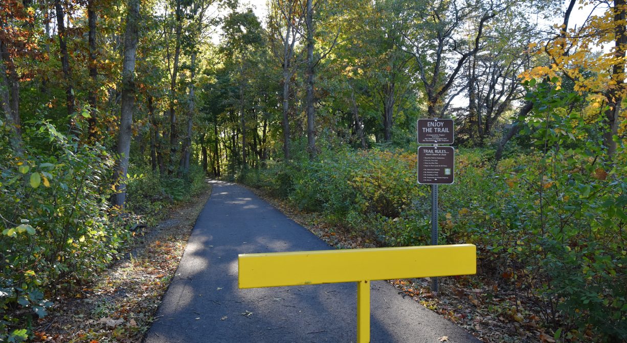
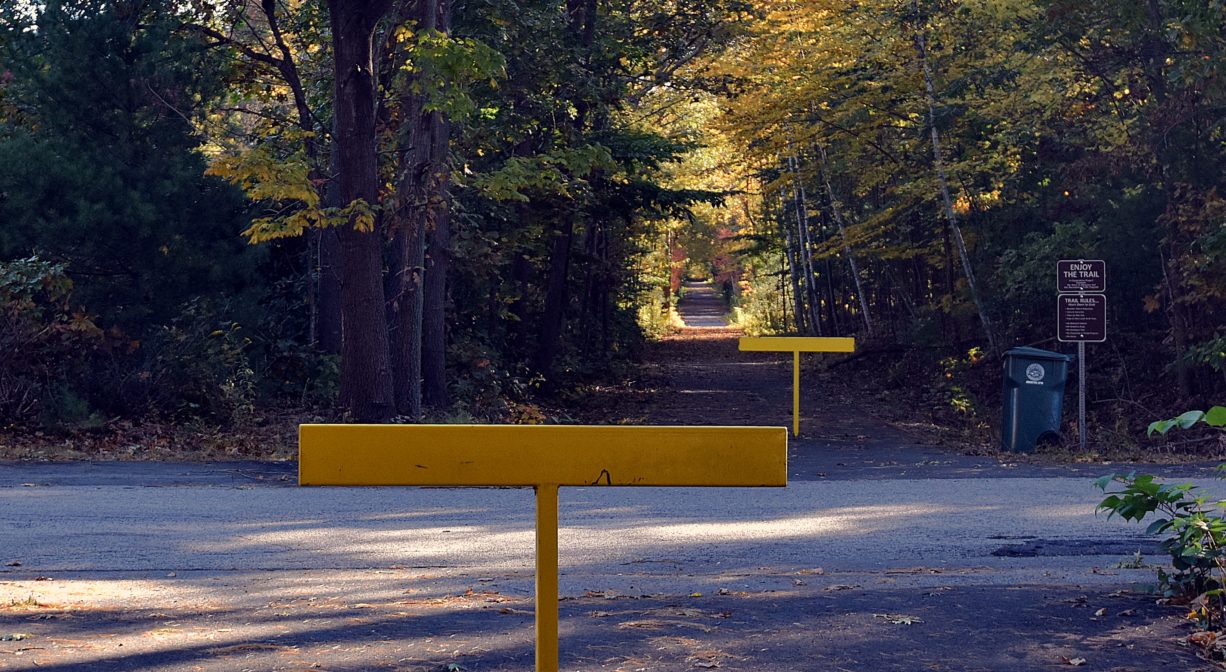
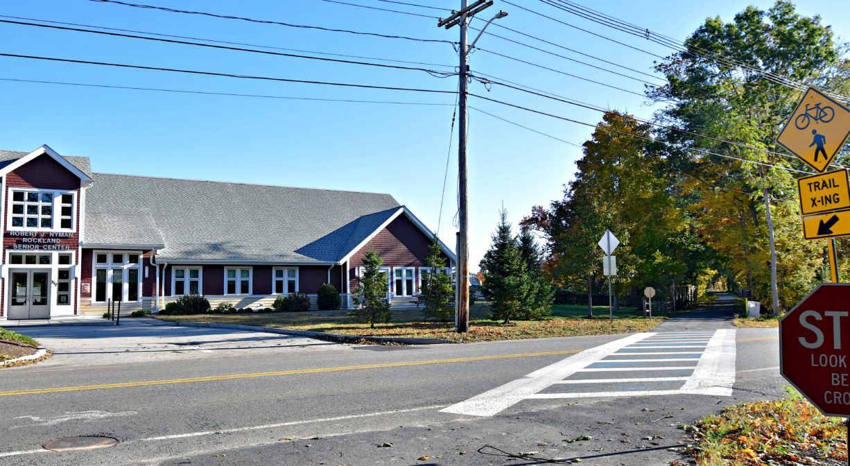
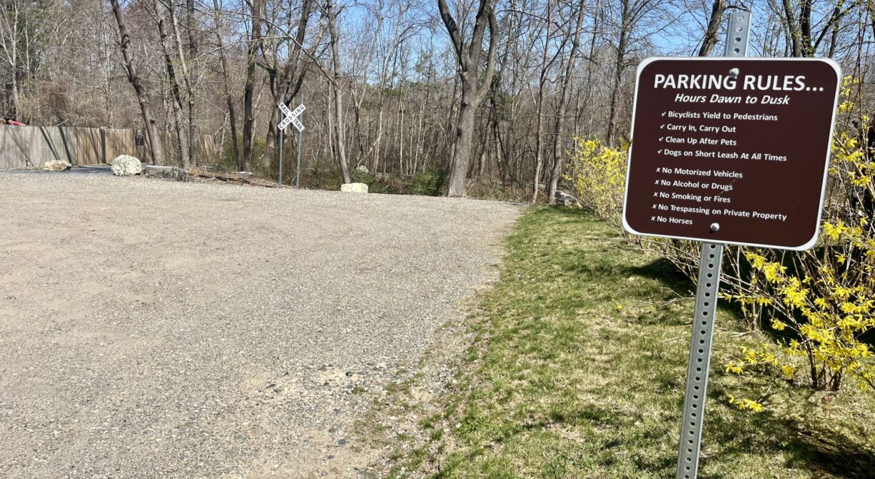
The trail is paved, 10 feet wide, and 3 miles long. The primary access point on the eastern side of Rockland is a parking area at 638 Market Street. There is also access at the Rockland Police Department at 500 Market Street, and in West Hanover, on Hanover Street. (See listing for Hanover Branch Rail Trail.)
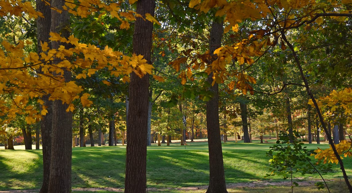
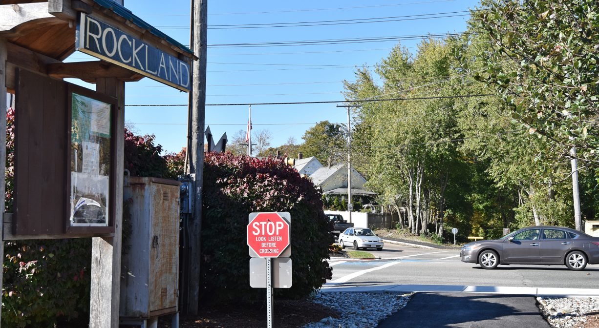
There is a road crossing at the Rockland Police Department, marked with a yellow metal gate that permits individuals to pass, but not cars. The trail is very easy to follow. Each time it crosses a road, a crosswalk and signage give trail users the right of way. Still, it’s important to proceed with caution through all intersections. Some of them are relatively quiet, but others involve major roadways such as Routes 139 and 123. Heading west, the trail continues through residential areas and eventually passes by Rockland’s Senior Center, the Rockland Golf Course, and Rockland High School. It continues into Abington, crossing Charles Street and ending at Monroe Street.
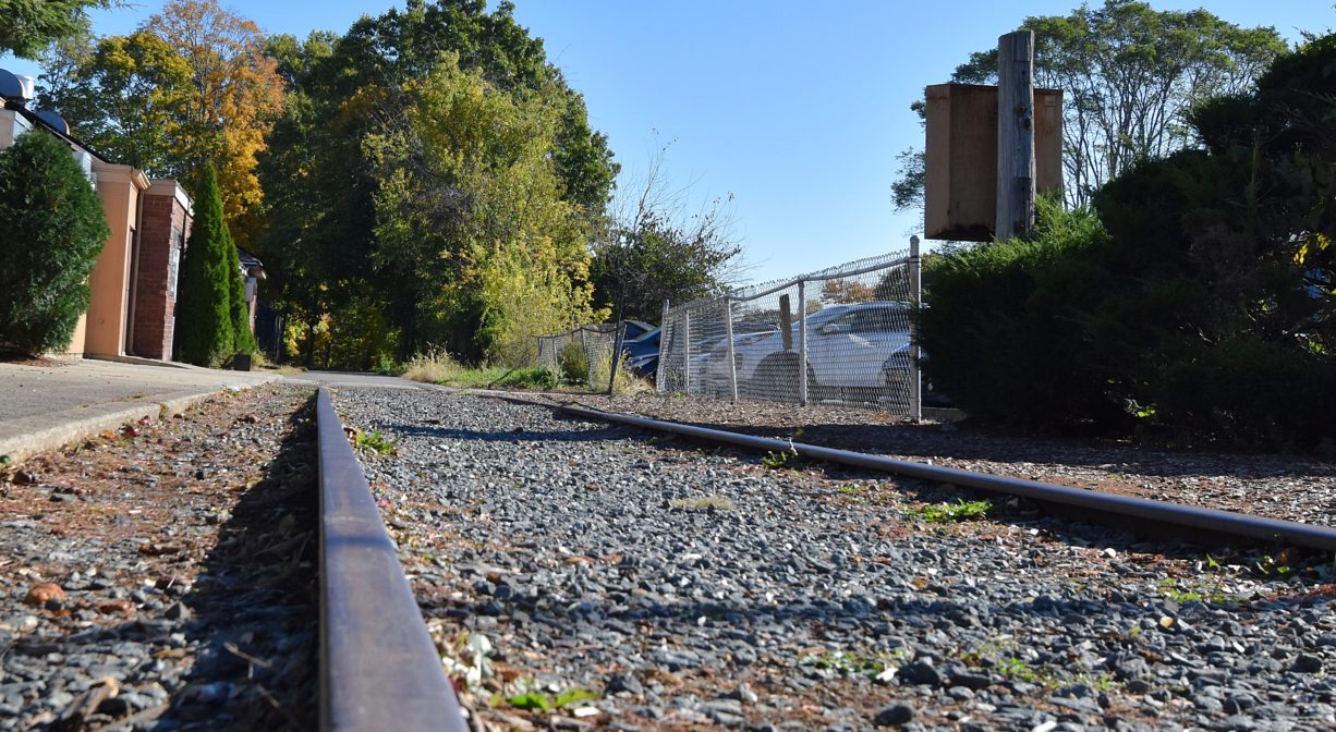
Don’t miss the section of original rails, and the informational kiosk, at the Union Street crossing.
Trail Rules: Cyclists must yield to pedestrians. Clean up after your pets. Horses and motorized vehicles are prohibited, as are fires, alcohol and smoking.
Habitats and Wildlife
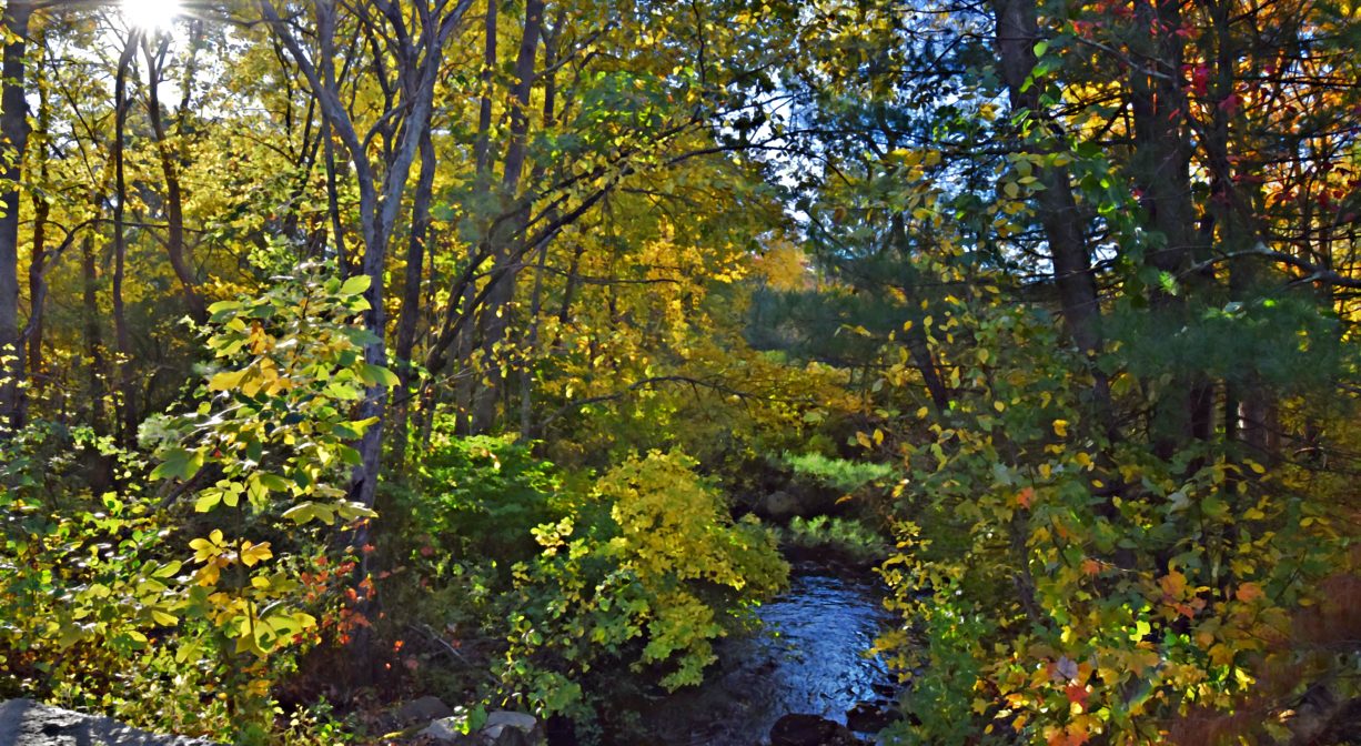
The trail is lined with pine, oak, maple and beech. It passes over French’s Stream, which is one of the sources of the North River. French’s Stream flows through Weymouth and Rockland into Hanover, where it joins the Drinkwater River, eventually becoming the Indian Head River. The Indian Head River joins Herring Brook in Pembroke and Hanover to form the North River, which flows 12 miles through Hanover, Pembroke, Norwell, Marshfield, and Scituate, to the Atlantic Ocean.


Historic Site: No
Park: No
Beach: No
Boat Launch: No
Lifeguards: No
Size: 3.5 miles
Hours: Dawn to Dusk
Parking: Parking lot at 638 Market Street. Additional parking and access at the Hanover Branch Rail Trail, 1409 Hanover Street (Route 139), Hanover.
Cost: Free
Trail Difficulty: Easy
Facilities:
Informational kiosk at Union & East Water Streets. Geocache location.
Dogs: Dogs must be kept on a short leash at all times. Please clean up after your pet!
Boat Ramp: No
ADA Access: Yes
Scenic Views: Yes
Waterbody/Watershed: French's Stream (North River watershed)