
Tindale Bog & Beach, Hanover, MA, USA
Owned By: Town of Hanover
Tindale Bog is a 16-acre property with a small pond and an adjacent woodland trail network. It borders a Well Protection Zone, and links directly to an approx. 3-mile trail network with the Hanover Senior Center, the Myrtle Street Fields / Ceurvels Park, and the Nava-Stasiluk Conservation Area. A segment of the trail here is part of a former railroad bed.
Hunting is not allowed on this property.
FISHING ADVISORY: It’s important to know that some of our freshwater fisheries are contaminated with mercury, PFAS and/or other concerning substances. The Massachusetts Department of Public Health maintains an online database with up-to-date advisories regarding fish consumption, sorted by location. We recommend you consult this valuable resource when planning a fishing excursion.
Features
The small pond here was created in Colonial times, by damming a stream. In the summer it tends to grow thick with water lilies. There is a bench beside the pond, inviting quiet contemplation.
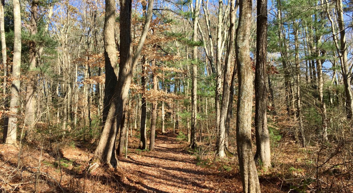
This trail network includes a 0.4-mile section of the former Hanover Branch Railroad. The Hanover Branch Railroad extended 7.8 miles from Hanover Four Corners, through South and West Hanover, across Rockland, to North Abington, where it connected with the Old Colony Railroad to Plymouth. Incorporated in 1846, and constructed over the better part of the next 20 years, it officially opened for service in 1868.
E. Y. Perry — a businessman, Justice of the Peace, and abolitionist — operated a large tack factory in South Hanover, and was largely responsible for the creation of the railway. He also owned a general store (now Myette’s) and constructed the building in South Hanover that for many years housed a series of a shoe factories – Goodrich, Cochran, and Shanley — and part of the Clapp Rubber Company. The railway facilitated the transport of materials and finished products to and from these and other businesses, but also offered passenger service. The Old Colony Railroad absorbed the Hanover Branch in 1887. In 1893, the New York, New Haven and Hartford Railroad took over the lease.
For thousands of years, the land that encompasses what is now Hanover was inhabited by indigenous people. Circa 1617, there was a major outbreak of disease from European settlers that decimated an estimated 90% of the native population in New England, including the Massachusett and Wampanoag tribes that inhabited this area. There are still descendants of these original inhabitants living on the South Shore today, and they are known as the Mattakeesett Tribe of the Massachusett Indian Nation, the Massachusett Tribe at Ponkapoag, the Herring Pond Wampanoag and the Mashpee Wampanoag.
Trail Description
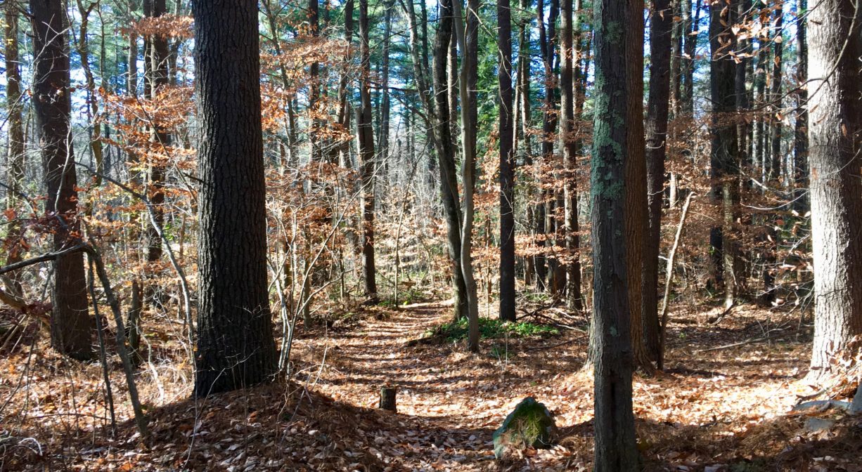
Start at the parking area for the Nava-Stasiluk Trail, near 526 Center Street, and look for the former railroad bed that crosses Center Street nearby. (You can simply cross Center Street to find it, or follow the green-blazed trail through the woods.) Follow the railroad bed south to access the Tindale Bog area. There are a few intersecting red-blazed trails that extend from the railroad bed into the woods. One of these leads to a small shallow pond. There are two additional pedestrian access points to this property: one on Broadway (follow the red Hanover Conservation blazes), and one on Cross Street (follow the green blazes). Both are fairly close to the pond.
The Nava-Stasiluk Conservation Area also connects with trails that lead to the Hanover Senior Center and the Myrtle Street Fields / Çeurvels Park.
Habitats and Wildlife
The woods here are primarily pine, but there is also some maple, birch and beech. The waters of the Tindale Bog area drain into the Indian Head River, to the south. There are some wetlands on the property and also a vernal pool.
The Indian Head River rises from the Drinkwater River and Factory Pond in West Hanover. It forms the boundary between Hanover and Hanson, and merges with Pembroke’s Herring Brook, a short distance downstream of Ludden’s Ford Park, to form the North River at a spot called The Crotch. The North River flows 12 miles through Pembroke, Hanover, Norwell, Marshfield and Scituate, eventually making its way to Massachusetts Bay and the Atlantic Ocean.


Historic Site: No
Park: No
Beach: No
Boat Launch: No
Lifeguards: No
Size: 16 acres
Hours: Dawn to Dusk
Parking: Use the parking lot for the Nava-Stasiluk Conservation Area, near 526 Center Street.
Cost: Free
Trail Difficulty: Easy
Facilities:
A bench overlooks the pond. Geocache location.
Dogs: Dogs must remain on leash. Always clean up after your dog!
Boat Ramp: No
ADA Access: No
Scenic Views: Yes
Waterbody/Watershed: Indian Head River (North River watershed)