
Thompson Pond & Twin Ponds Trail System, 104-194 Spruce St, Abington, MA 02351, USA
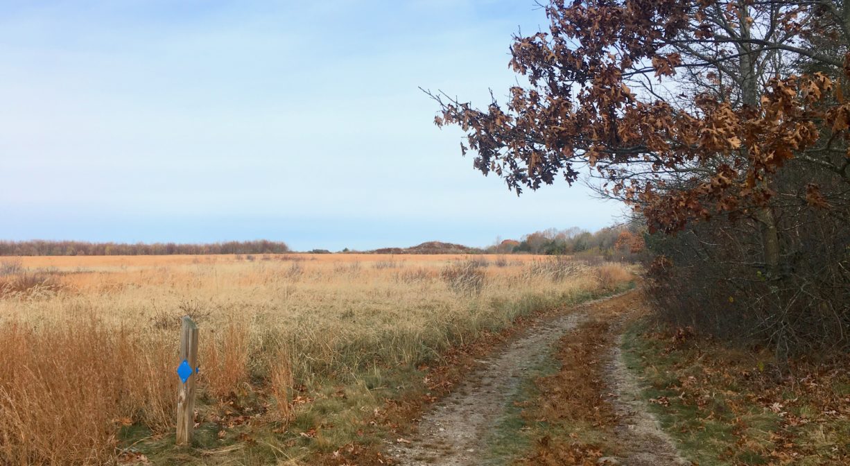
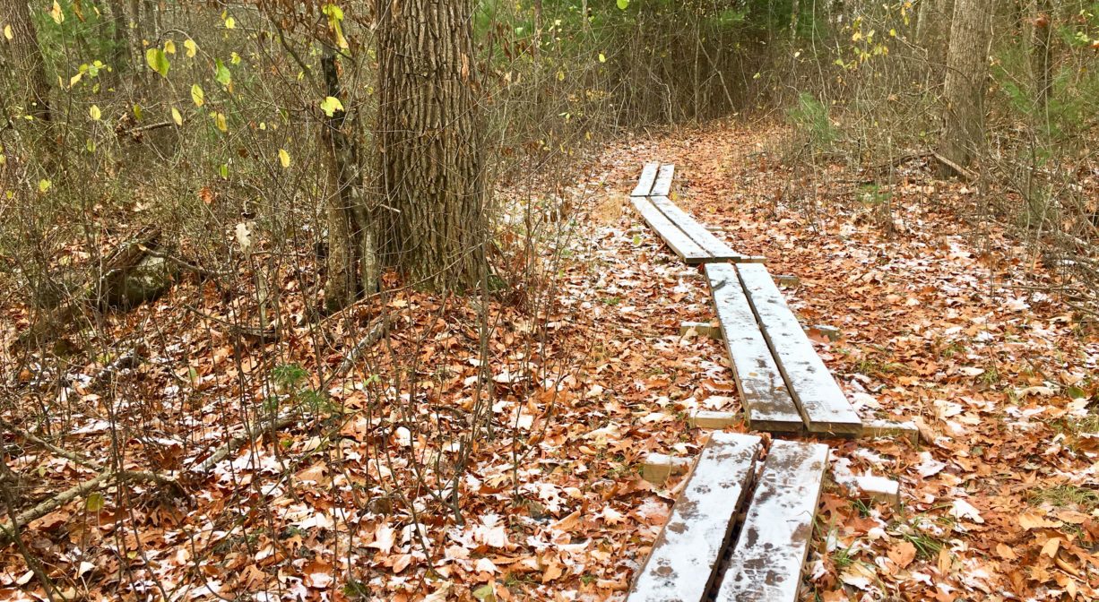
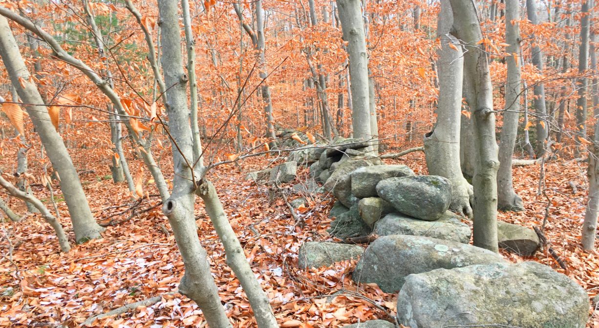
The Twin Ponds Trail extends for nearly two miles, first at the edge of a meadow, and then through the woods, crossing the east branch of French’s Stream. It features three distinct loops, and such amenities as a footbridge, occasional plank boardwalks, and a wildlife observation area, plus glimpses of rocky outcroppings and old stone walls. It is located on the site of the former South Weymouth Naval Air Station, and shares a parking area with the Thompson Pond Trail.
Features
The land through which the Twin Ponds Trail extends was part of the South Weymouth Naval Air Station for many years. Naval Air Station South (NAS) Weymouth was commissioned on this site in March 1942, however construction work began in the late fall of 1941, a few months before the United States entered World War II. Originally the base operated blimp combat patrols. During the Battle of the Atlantic, blimps based here helped protect U.S. ships from German submarines.
The base was downgraded to a Naval Air Facility after WWII. The blimp hangars were repurposed as storage for war surplus naval aircraft. In 1949, the base was redesigned as a Naval Auxiliary Landing Field. In 1950, after the closure of NAS Squantum in Quincy, South Weymouth became the new home of the Navy and Marine Air Reserve training program. Between 1951 and 1953, three new runways were constructed, and other improvements were made to support the reserves. One blimp hangar was demolished at this time. The other remained in place until November 1966.
In December 1953 the base was recommissioned as a Naval Air Station. It remained a reserve training base throughout the Cold War era, and also hosted the Naval Air Development Unit (NADU), a secretive research & development command. NADU aircraft provided flight testing support for military research.
After the end of the Cold War in 1991, NAS South Weymouth was among many military bases nationwide that were selected for closure. The last aircraft took off from the base in September 1996, and the official closure took place on September 30, 1997.
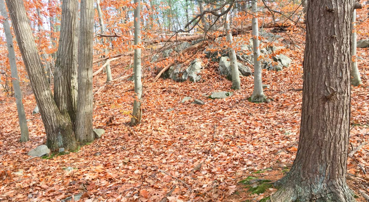
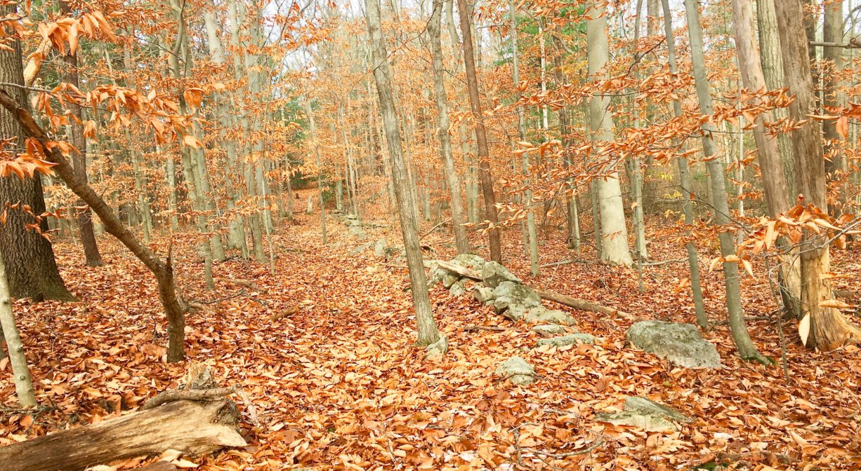
Looking north from the trailhead, the open field before you seems vast. It’s not hard to imagine the runways that existed here in decades past. There are numerous rocky outcroppings within this property. There are also several old stone walls, visible from the trails. Before it was a military base, this property was a hog farm.
This land is within the region of the Massachusett (or Massachuseuk). To learn more about local Native American tribes, we encourage you to interact with their members. The Mattakeeset band of the Massachusett, and the Massachusett tribe at Ponkapoag, both share information on their websites.
Trail Description
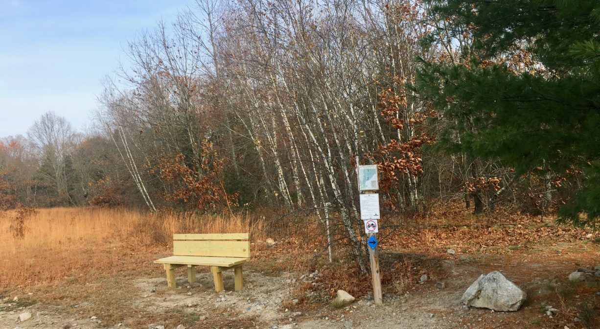
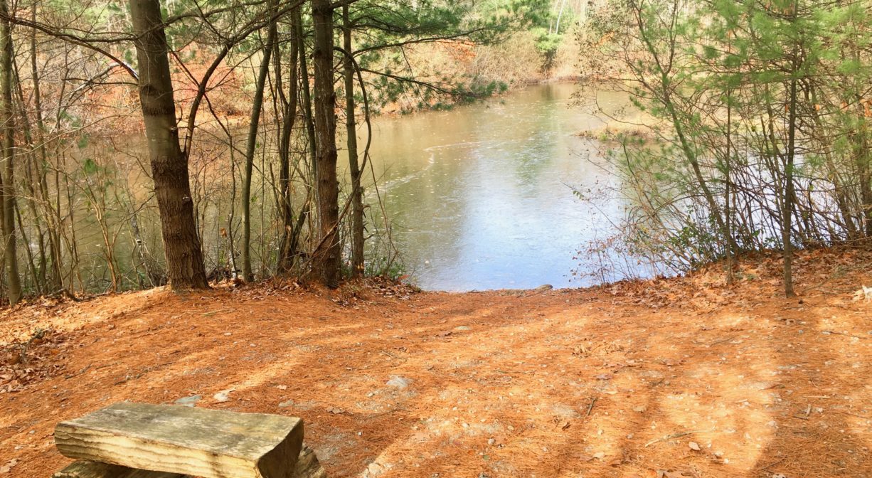
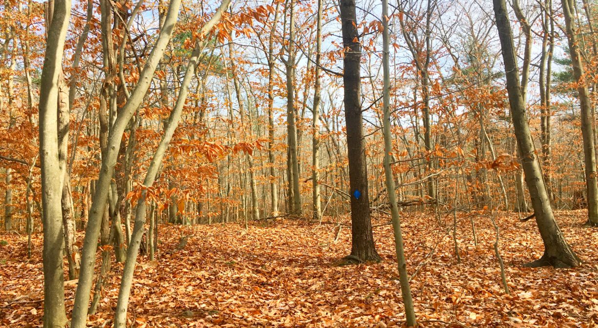
The trail was created by the Wildlands Trust. It begins by heading north through the meadow. The Thompson Pond Trail veers off to the left. To remain on the Twin Ponds Trail, follow the blue blazes. The trail takes a sharp turn to the east (right) and enters the woods. It crosses over the East Branch of French’s Stream, and also past two ponds (the Twin Ponds). It continues through the woods with occasional plank boardwalks that traverse wetlands. ATV use is prohibited.
Some of the trails are wide, flat cart paths, others are narrower footpaths. There are three loops within this trail network. It will be helpful to carry a map. Step with care, especially in the autumn when fallen leaves cover the trail. The rocky outcroppings create uneven terrain. The total trail distance is 1.9 miles. Extend your walk by visiting the Rockland Town Forest, across the street, and just a few steps down the road.
Habitats and Wildlife
The forest here is comprised primarily of pine, oak, beech, and hemlock, with some holly, birch and cedar. Please be mindful of poison ivy. Some species known to exist on this property are American kestrel (a small hawk), great blue heron, wood duck, spotted sandpiper, river otter, painted turtle, white-tailed deer, coyote, and eastern meadowlark. At dusk, listen for the “Who cooks for you? Who cooks for you-all?” call of the barred owl.
The East Branch of French’s Stream flows through this property. Farther south, in the Rockland Town Forest, if flows together with the West Branch of French’s Stream. The stream continues south, and then southeast, into Hanover. On the outskirts of Forge Pond Park in Hanover, it flows into the Drinkwater River. The Drinkwater River continues to flow southeast of Forge Pond, into Factory Pond. From there, the waterway turns east and is known as the Indian Head River. It joins Herring Brook in Pembroke and Hanover to form the North River, which flows 12 miles through Hanover, Pembroke, Norwell, Marshfield, and Scituate, to the Atlantic Ocean.


Historic Site: No
Park: No
Beach: No
Boat Launch: No
Lifeguards: No
Hours: Dawn to Dusk
Parking: Limited on-site parking on Spruce Street in Rockland.
Cost: Free
Trail Difficulty: Easy, Medium
Facilities:
Benches. Informational kiosk near the parking area. Geocache location.
Dogs: Dogs must remain on leash. Please clean up after your pet!
Boat Ramp: No
ADA Access: No
Scenic Views: Yes
Waterbody/Watershed: French's Stream (North River watershed)