
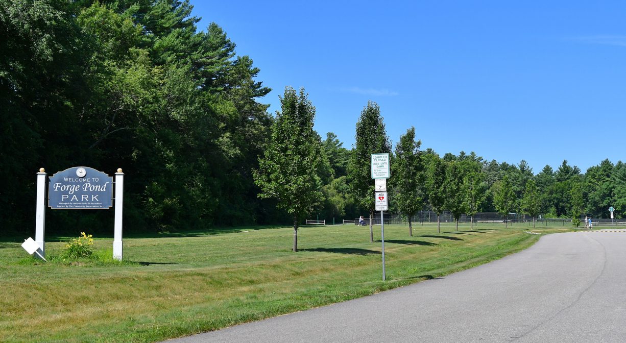
Forge Pond Park, 245 King St, Hanover, MA 02339, USA
https://www.hanover-ma.gov/parks-and-recreation/pages/forge-pond-park
Owned By: Town of Hanover
Forge Pond Park is a 40-acre athletic complex in Hanover with a 6+ mile network of paved and woodland walking trails. Canoe/kayak access to Forge Pond. Seasonal ice skating. Stroller-friendly.
Please respect the “Trail Closed” signs. Directly across King Street from Forge Pond Park is the Hanover Fireworks trail system — easily confused with the Old Rockland Fireworks Loop trail, adjacent to Forge Pond Park on the Rockland side. The Hanover Fireworks property is closed due to unexploded ordinance within its boundaries that is in the process of being detonated and/or removed. In earlier times, the Hanover Fireworks served as a manufacturer of defense weapons. Heavy metals, contaminated soil/water, and unexploded ordinance make the property very unsafe for visitors.
HUNTING: Hunting is not permitted on this property. However, please note that hunting is allowed on the adjacent Clark Bog and Summer Street Conservation Lands, in season, by licensed persons in compliance with Massachusetts law. Please be sure to understand state and local hunting guidelines before proceeding. Non-hunters, be mindful of hunting seasons, and wear bright orange if you’re entering the property during those times. Hunting is not permitted on Sundays.
FISHING ADVISORY: It’s important to know that some of our freshwater fisheries are contaminated with mercury, PFAS and/or other concerning substances. The Massachusetts Department of Public Health maintains an online database with up-to-date advisories regarding fish consumption, sorted by location. We recommend you consult this valuable resource when planning a fishing excursion.
Features
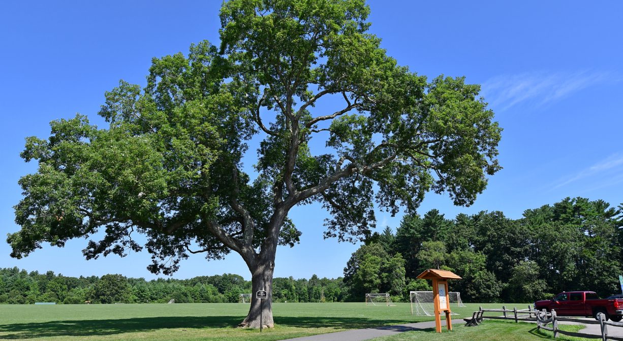
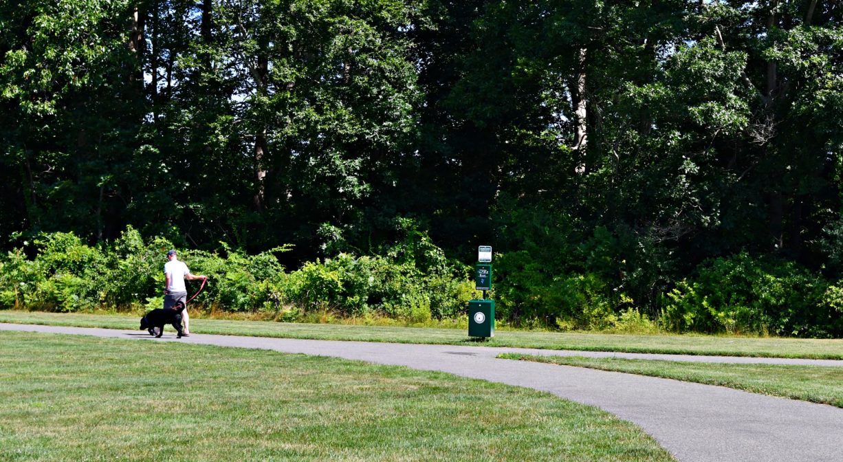
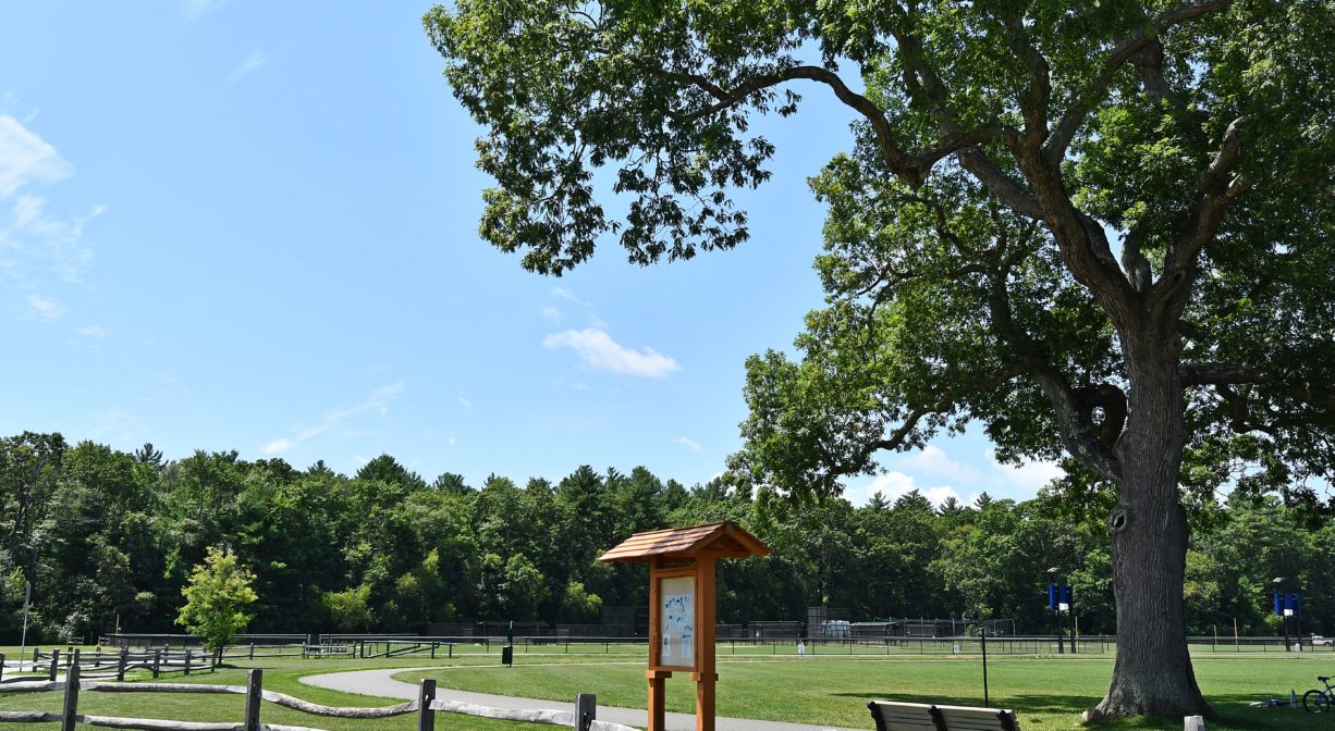
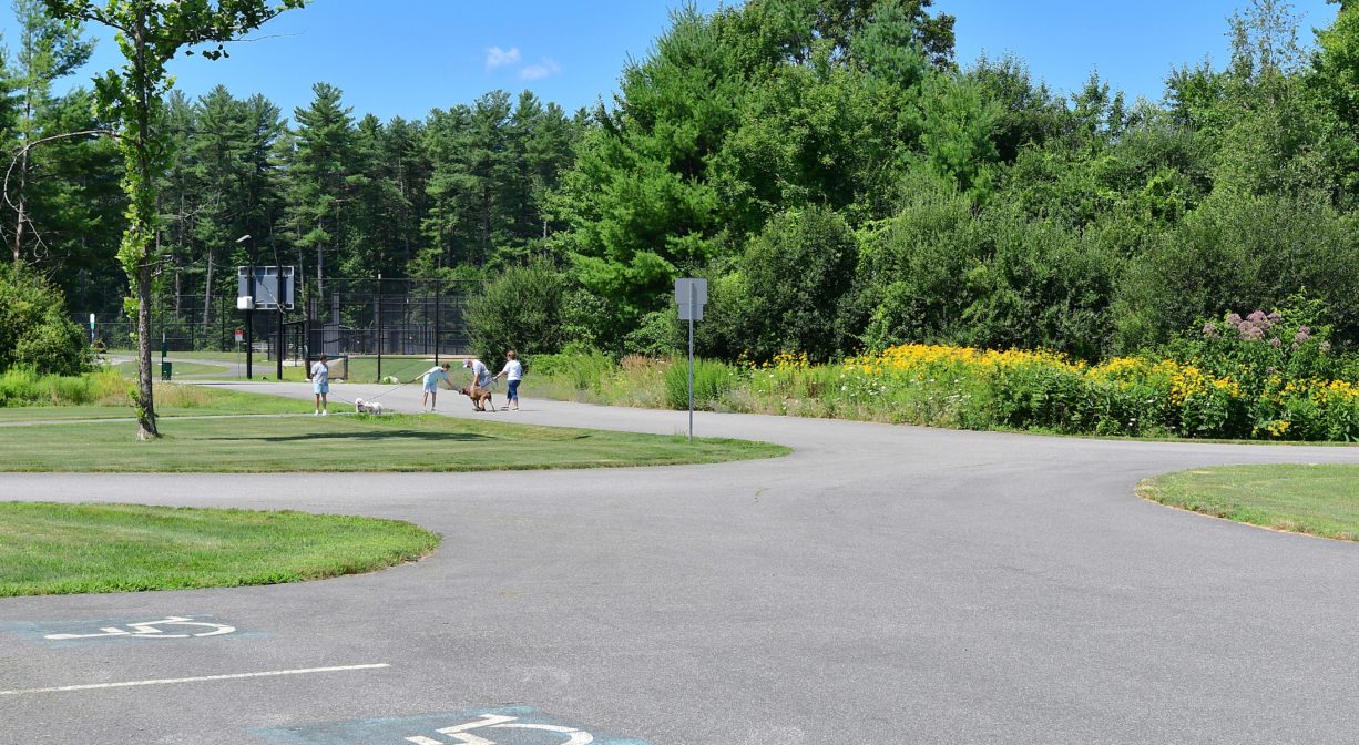
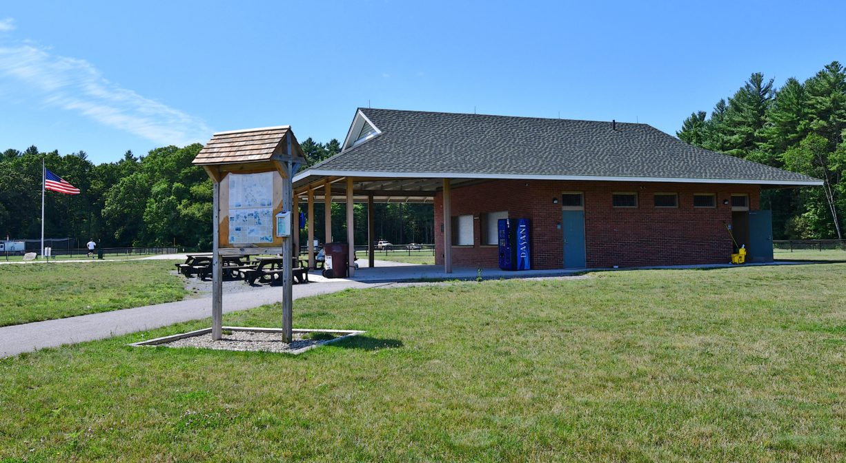
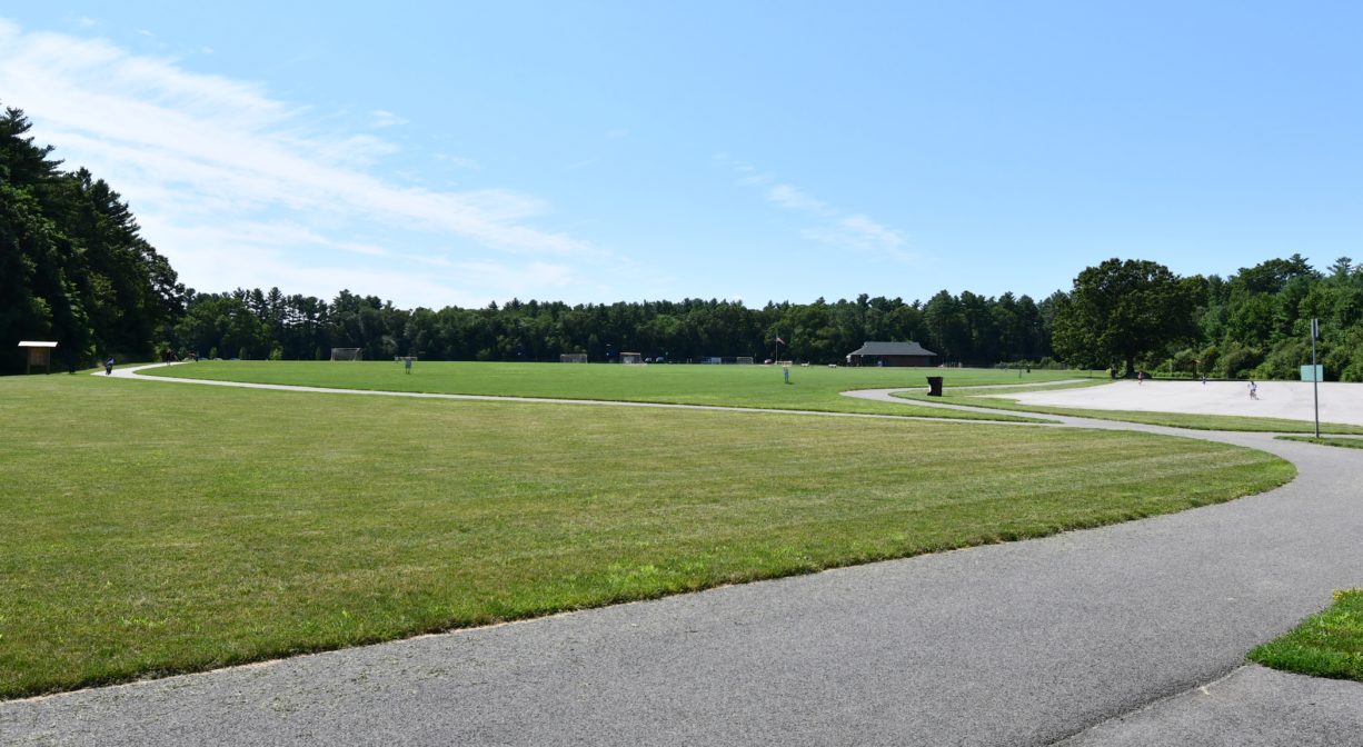
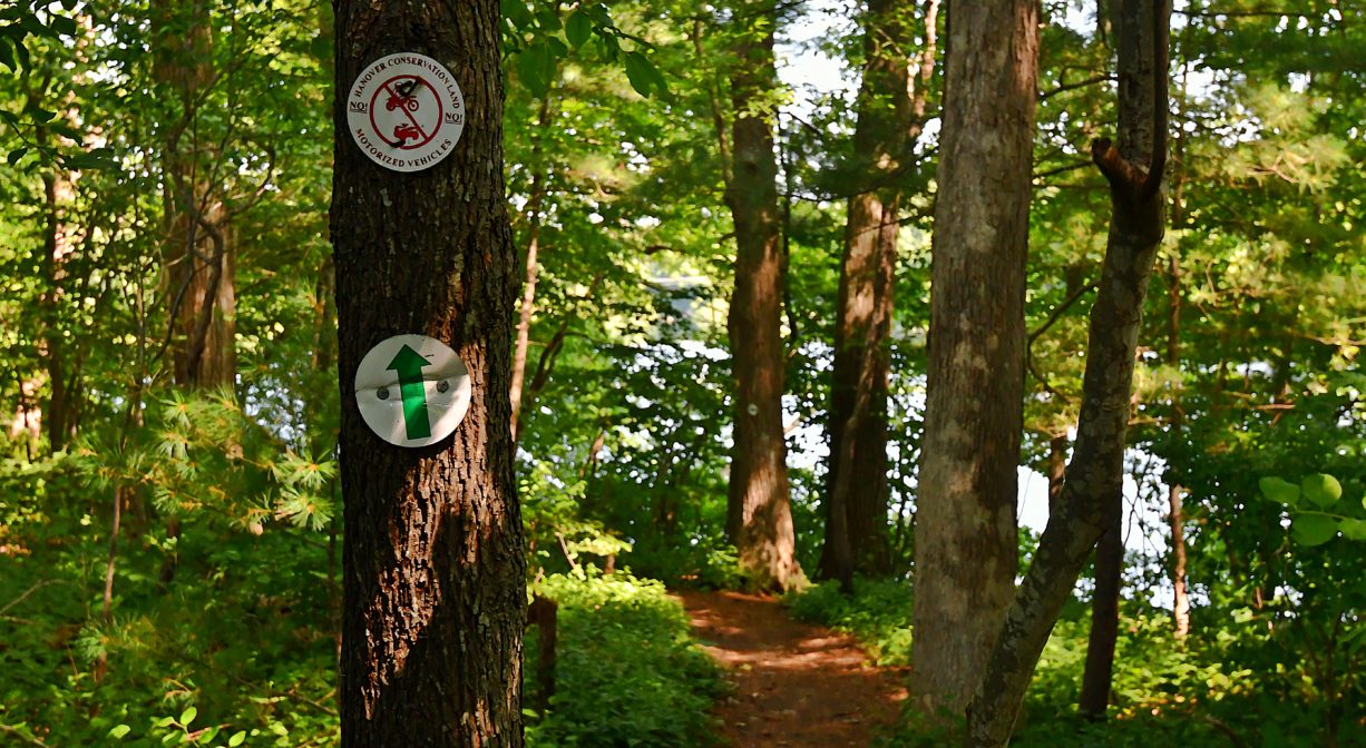
At first glance, Forge Pond Park (established in 2014) appears only to be an athletic complex, with three baseball fields, three softball fields, three multi-use fields, and a pavilion/concession stand. However the park offers considerably more! A wide, paved, 1-mile trail extends around the perimeter, ideal for walking, jogging, bicycling (especially with youngsters), dog walking, and wheelchair use. In addition, small green signs mark the access points for several trails through the woods and along the water — including Forge Pond Trail, French’s Stream Trail, Clark Bog Trail, the Summer Street Conservation Lands, and Old Rockland Fireworks Loop Trail. In total, there are 6.2 miles of trails.
WATER ACCESS: Toward the rear of the property, adjacent to Parking Lot E, you’ll find a gravel ramp for canoes and kayaks, providing access to Forge Pond. The pond itself offers a quiet spot for paddling. There are two dams to be aware of — one at the outlet of Forge Pond, and another farther downstream. Local knowledge indicates that the first dam can be run (although beware of debris in the water) and the second dam should be lined, as it presents a greater drop. Beyond the dams, the water is flat until it flows into Factory Pond, and then a portage is required in order to continue on the Indian Head River. Due to contamination and unexploded ordinance, paddling is not permitted in Factory Pond at this time.
The Drinkwater River flows through Forge Pond which, like most of our local ponds, was created not by nature, but by the construction of a dam. The dam at the southern end of the pond was probably erected around 1710, when a company known both as the Drinkwater Iron Works, and Mighill’s Works, was established. Mr. Mighill manufactured iron from bog ore, which he dug at Cricket Hole near Third Herring Brook, as well as in the wetlands near Dam Brook. Several other owners succeeded Mighill. Cannon were cast here during the American Revolution.
In 1816, Chas. & Orrin Josselyn, Timothy Rose and Calvin Bates, among others, erected a new forge on this dam. Besides the forge there was also a grist mill, a sawmill, a boxboard mill and a shingle mill, all owned by the same company. Later a company known as Bates & Holmes took over the operation, and with 5 employees, made bar iron and 50-60 tons of anchors annually. Edwin Barstow was the last anchor maker in town, here, in the 1880s. By 1889, Charles Stetson was operating a machine shop on the property, making rubber hose covering and electric light wires.
This land is within the region of the Massachusett (or Massachuseuk). To learn more about local Native American tribes, we encourage you to interact with their members. The Mattakeeset band of the Massachusett and the Massachusett tribe at Ponkapoag share information on their websites.
According to Martha Campbell’s Remembering Old Abington, the name “Drinkwater River” is said to be an Anglicized version of the original Native American name for the stream, Nannumackeuitt, “which meant that a hollow stem had to be used as a straw when sucking up water from this shallow, sluggish stream.” However in A Historical Sketch of the Town of Hanover, John S. Barry indicates that the name derives from the occasional of a new sawmill opening a short distance upstream of Forge Pond, near Ellis’s Bridge, after the original mill was burned down in 1676 during King Philips’ War. After “cold water, instead of spirituous liquors, was furnished as a beverage,” the term “Drinkwater” emerged.
Trail Description
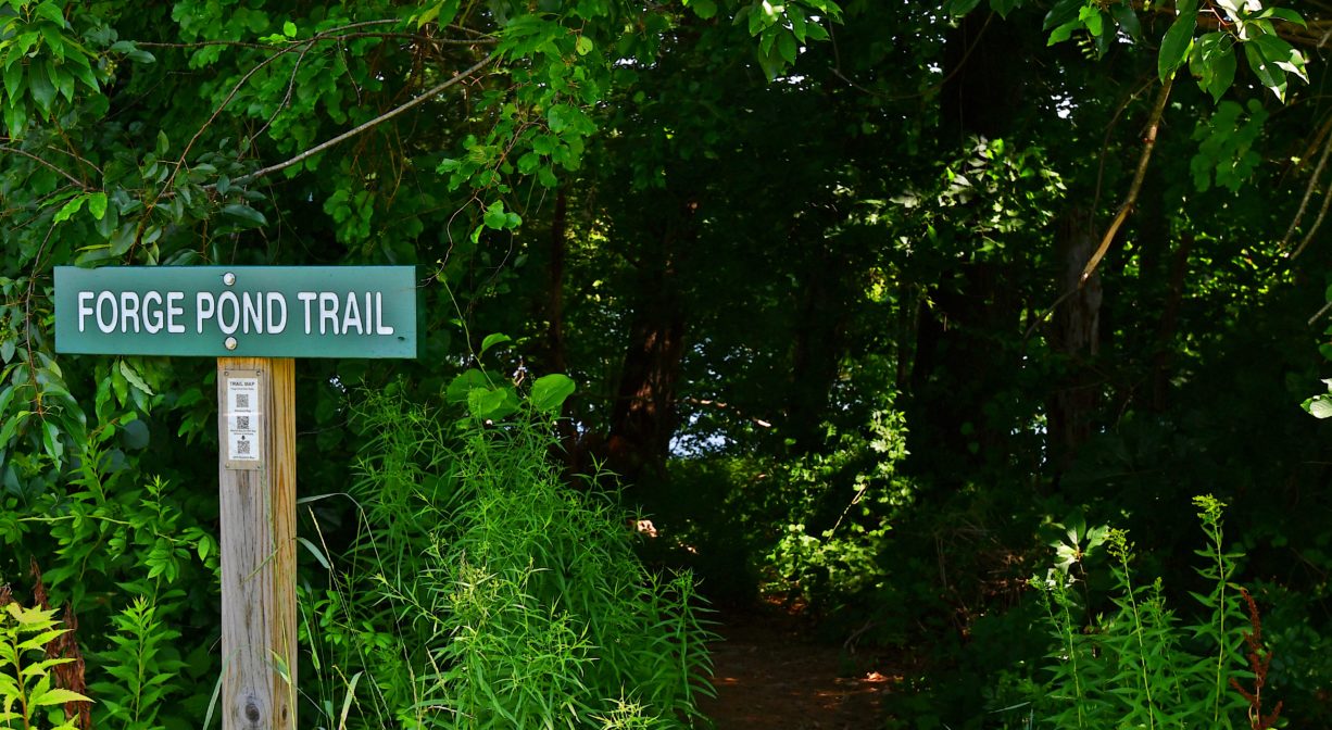
The Forge Pond Trail extends for 0.22 miles through the woods along Forge Pond, with some short spur trails to the water’s edge. A large green sign near Parking Lot A marks the trailhead. Also accessible from Parking Lot E and the French’s Stream Trail. In addition, a wide, paved, 1-mile trail extends around the perimeter of the property. This trail is ideal for walking, wheelchair use, and bicycling (especially with young families).
Please see separate listings for more details on:
• French’s Stream Trail
• Clark Bog Trail
• Summer Street Conservation Lands
• Old Rockland Fireworks Loop Trail
Habitats and Wildlife
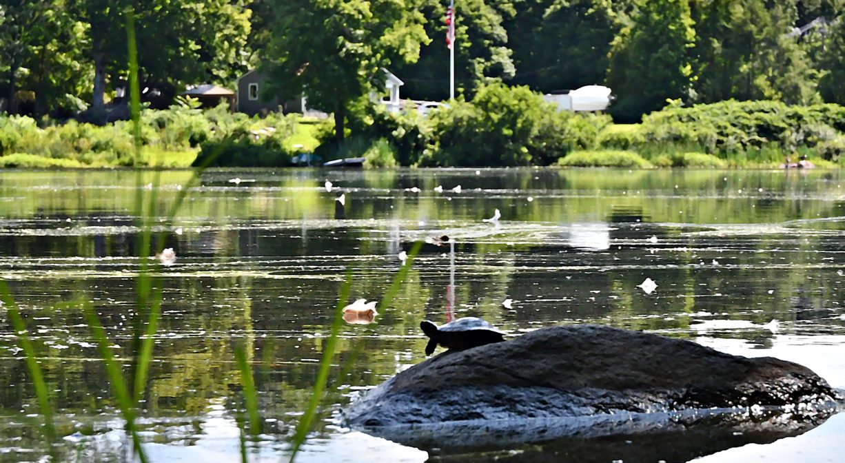
Grassy athletic fields surrounded by a forest of pine, oak, maple and birch trees. Forge Pond and French’s Stream border the park on three sides. The Forge Pond Trail extends through a forest of pine, beech, oak and sassafras, with ferns and sweet pepper bush. Swans and Canada geese may be spotted on the pond.
French’s Stream and the Drinkwater River flow together just upstream of Forge Pond. The Drinkwater River continues to flow southeast of Forge Pond, into Factory Pond. The Indian Head River rises from the Drinkwater River and Factory Pond in West Hanover. It forms the boundary between Hanover and Hanson, and merges with Pembroke’s Herring Brook, a short distance downstream of Ludden’s Ford Park, to form the North River at a spot called The Crotch. The North River flows 12 miles through Pembroke, Hanover, Norwell, Marshfield and Scituate, eventually making its way to Massachusetts Bay and the Atlantic Ocean.
Historic Site: No
Park: Yes
Beach: No
Boat Launch: Yes
Lifeguards: No
Size: 40 acres
Hours: Dawn to Dusk
Parking: Several large, paved, on-site parking areas at 245 King Street, Hanover, accommodating 150 vehicles altogether.
Cost: Free
Trail Difficulty: Easy
Facilities:
Numerous benches, portable toilets, bicycle rack, informational kiosks, trash, recycling, and pet waste receptacles. Baseball/softball fields with bleachers, multi-use athletic fields. The pavilion (limited, seasonal hours) has a concession area with picnic tables. Geocache location.
Dogs: Dogs must remain on leash. Always clean up after your dog!
Boat Ramp: No
ADA Access: Yes
Scenic Views: Yes
Waterbody/Watershed: Forge Pond, French's Stream, Drinkwater River (North River watershed)