
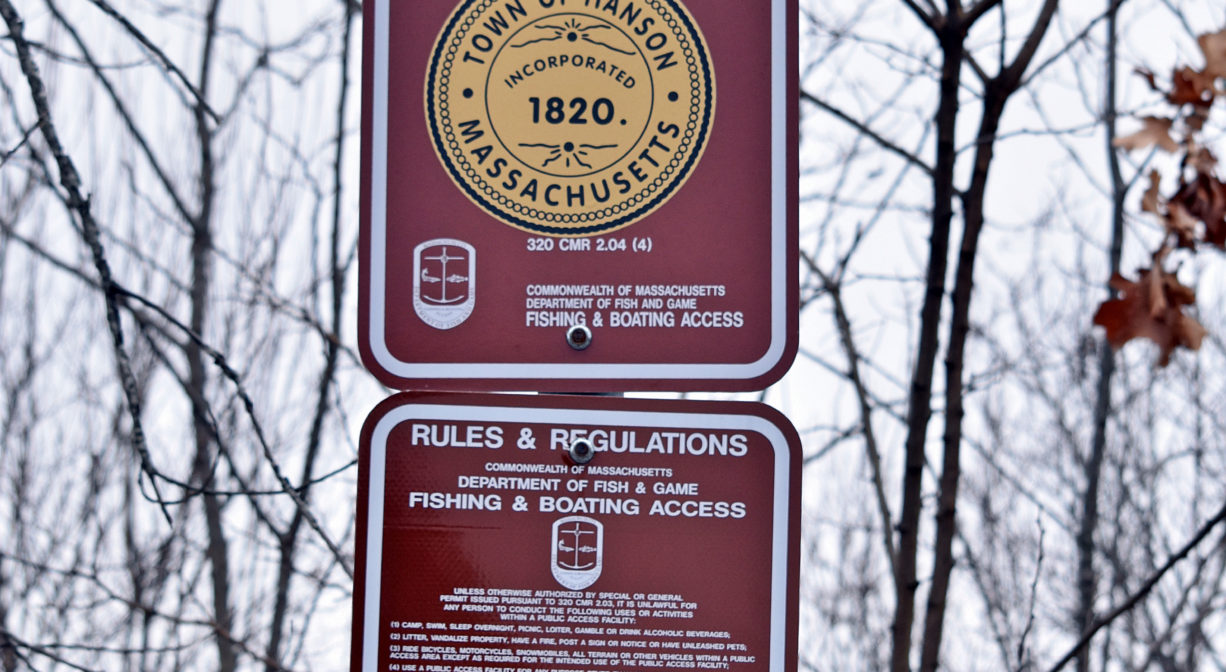
542 Liberty St, Hanson, MA 02341, USA
Hanson Town Hall: (781) 293-5186
Owned By: Town of Hanson
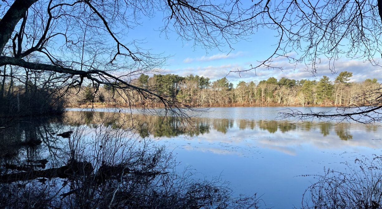
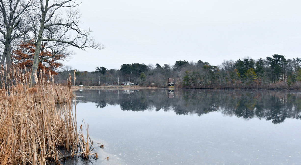
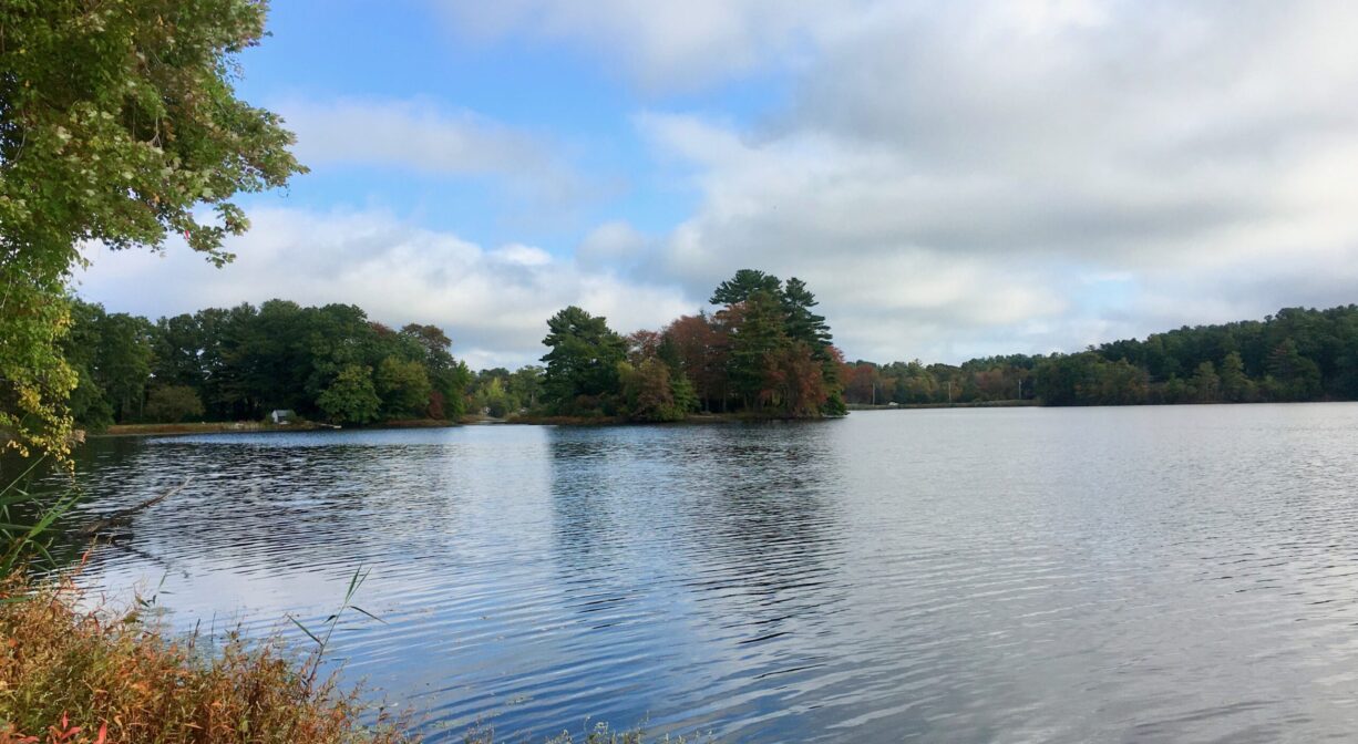
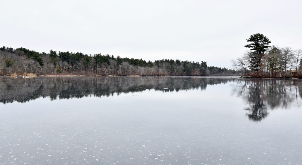
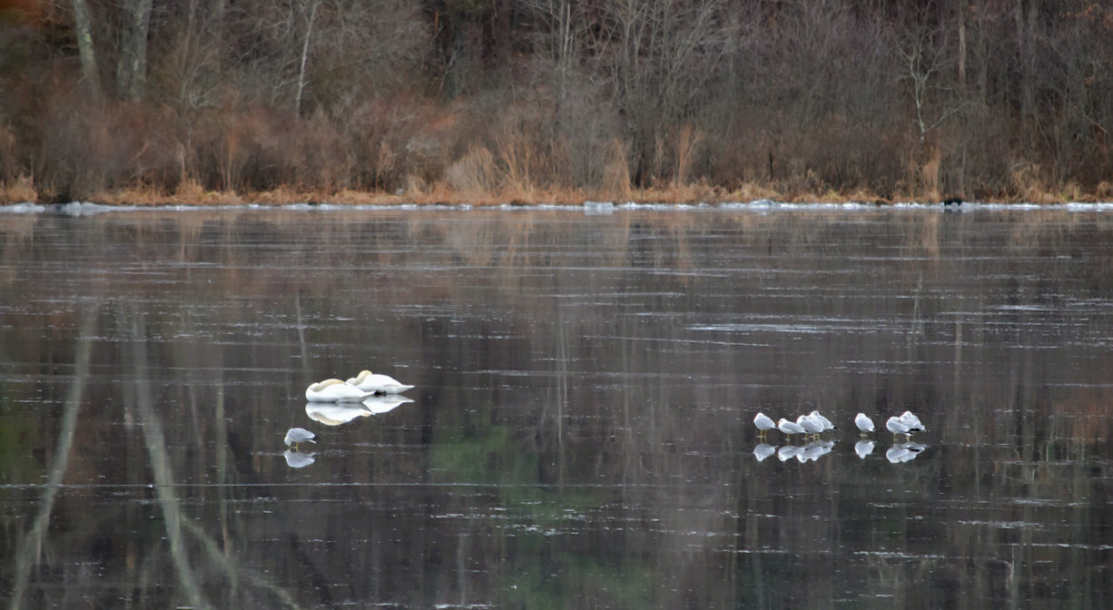
Located next to the Hanson Town Hall, Wampatuck Pond is suitable for fishing, paddling and seasonal ice skating. The property features a ramp with water access for small boats. Swimming is not permitted. The island within the pond is privately owned. For trail access, visit Veterans Memorial Town Forest – Hanson, immediately adjacent.
FISHING ADVISORY: It’s important to know that some of our freshwater fisheries are contaminated with mercury, PFAS and/or other concerning substances. The Massachusetts Department of Public Health maintains an online database with up-to-date advisories regarding fish consumption, sorted by location. We recommend you consult this valuable resource when planning a fishing excursion.
Hunting is not allowed on this property.
Swimming is not permitted.
Features
A beautiful backdrop for Hanson’s Town Hall, this manmade pond is bordered by a small park, a cemetery, residential areas, and the Hanson Veterans Memorial Town Forest. It is sometimes known as Raised Great Pond or Town Hall Pond. For most of the 20th century, Camp Wampatuck, a summer sleep-away camp, was located on the shoreline.
This land is within the region of the Massachusett (or Massachuseuk) Native American tribe. The Mattakeeset band of the Massachusett lived for thousands of years in the North River watershed. Their village included most of today’s Pembroke and Hanson. Wampatuck Pond is named for the Chief Sachem of the Mattakeeset, Josias Wompatuck (also spelled Wampatuck).
To learn more about local Native American tribes, we encourage you to interact with their members. The Massachusett tribe at Ponkapoag and the Mattakeeset band of the Massachusett share information on their websites.
Trail Description
The adjacent Veterans Memorial Town Forest offers some hiking trails along the edge of the pond. Also, the Bonney Hill Trail, on the other side of the pond, offers additional trails.
Habitats and Wildlife
The pond’s water quality is impaired due to noxious aquatic plants. It is not suitable for swimming.
Indian Head Brook, a major tributary to the Indian Head River, flows through the pond. The Indian Head River forms the boundary between Hanover and Hanson, and merges with Pembroke’s Herring Brook, a short distance downstream of Ludden’s Ford Park, to form the North River at a spot called The Crotch. The North River flows 12 miles through Pembroke, Hanover, Norwell, Marshfield and Scituate, eventually making its way to Massachusetts Bay and the Atlantic Ocean.


Historic Site: No
Park: No
Beach: No
Boat Launch: Yes
Lifeguards: No
Size: 62 acres
Hours: Dawn to Dusk
Parking: Limited on-site parking for cars and trailers at 542 Liberty Street.
Cost: Free
Facilities:
Concrete launch ramp for small power boats, canoes & kayaks. Picnic tables, informational kiosk and signage.
Dogs: Dogs must remain on leash. Always clean up after your dog!
Boat Ramp: Yes
ADA Access: No
Scenic Views: Yes
Waterbody/Watershed: Indian Head Brook (North & South Rivers watershed)