66R7+WQ Scituate, MA, USA
https://cohassetconservationtrust.org/properties/properties-a-g/bassing-beach/
Owned By: Cohasset Conservation Trust
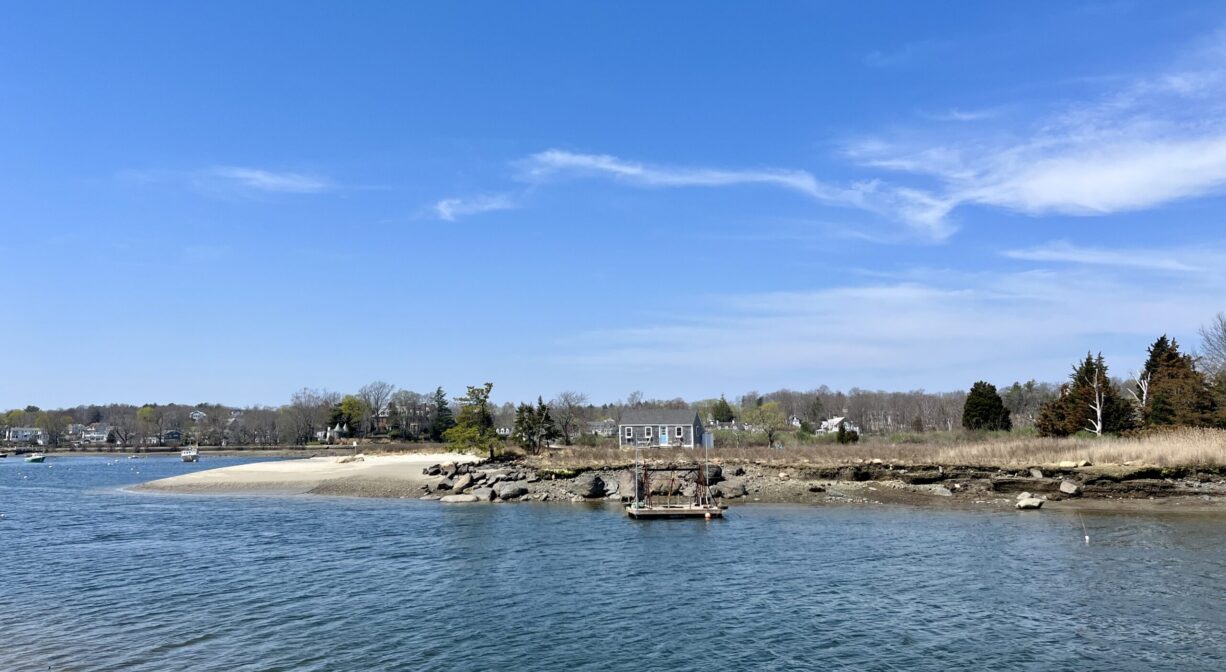
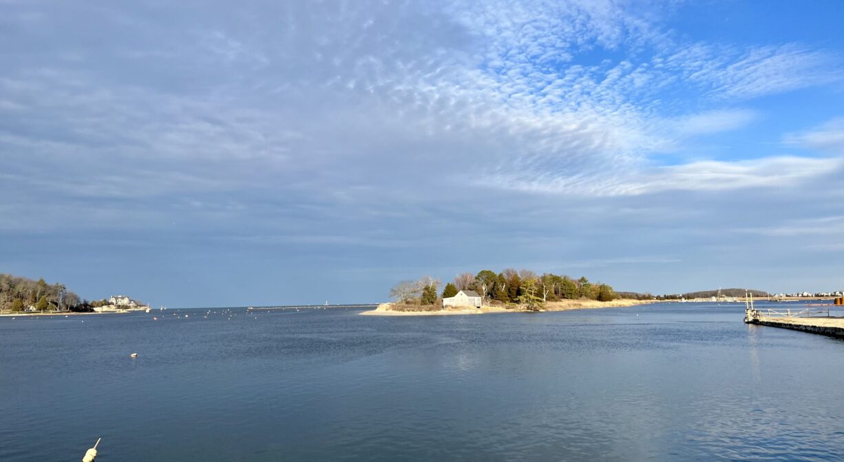
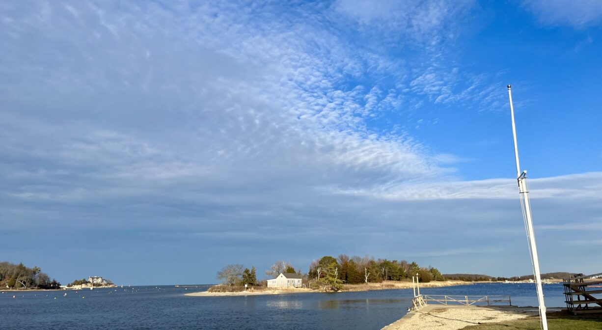
Bassing Beach is a 3/4 mile-long barrier beach that extends into the Gulf River from Scituate and defines the northwest side of Cohasset Harbor. It is only accessible by boat. It is open to the public for passive recreation — including swimming, fishing, paddling and general beach-going.
The cottage is available for short-term rental. Please respect the privacy of the cottage tenants.
Boat access from Cohasset Mariners Park. Visible across the water from Government Island.
It’s important to know that some of our fisheries are contaminated with mercury, PFAS and/or other concerning substances. The Massachusetts Department of Public Health maintains an online database with up-to-date advisories regarding fish consumption, sorted by location. We recommend you consult this valuable resource when planning a fishing excursion.
Features
According to the Cohasset Conservation Trust, Bassing Beach was established in 1968, when 400 Cohasset residents “contributed funds toward the purchase of 12.5 acres from Parker and Nancy Schofield. In 1972, the Schofields granted the Trust another 3 parcels of beach, salt marsh and one cottage. It became known as Bassing Beach because of the longtime tradition of fishing for bass from this spot.
Long before the arrival of European settlers, the Gulf River was inhabited by members of the Massachusett tribe, who maintained a village on the eastern shore of the river, as well as in Scituate Harbor. To learn more about local Native American tribes, we encourage you to interact with their members. The Mattakeeset band of the Massachusett, and the Massachusett tribe at Ponkapoag, both share information on their websites.
Beginning around 1640, the Conihasset River (Gulf River) and Cohasset Harbor served as boundary line between the Plymouth and Massachusetts Bay colonies.
Habitats and Wildlife
Bassing Beach is located on the Gulf River at Cohasset Harbor. It features beach, salt marsh and some upland forest. It is bounded on the south by Bailey Creek and a tidal creek called Four Score Ditch.
The Gulf River originates in North Scituate. Joined by Musquashcut Brook and Bound Brook, it empties into the Atlantic Ocean at Cohasset Harbor.
Historic Site: No
Park: No
Beach: Yes
Boat Launch: No
Lifeguards: No
Size: 3/4 mile
Hours: Dawn to Dusk
Parking: Parking is available at Government Island and at the Cohasset Mariners Park on Parker Avenue, both in Cohasset. A Cohasset Sticker is required.
Cost: Free
Facilities:
No facilities. Please take all trash with you when you go. Geocache location.
Dogs: No
Boat Ramp: No
ADA Access: No
Scenic Views: Yes
Waterbody/Watershed: Gulf River