
75 Peach St, Braintree, MA 02184, USA
Town of Braintree: 781-794-8000
Owned By: Town of Braintree
The 85-acre Braintree Town Forest features a 3.5-mile trail network, plus views of Cranberry Brook. It is located in Braintree Highlands. Motorized vehicles are prohibited.
Hunting is not allowed on this property.
Features
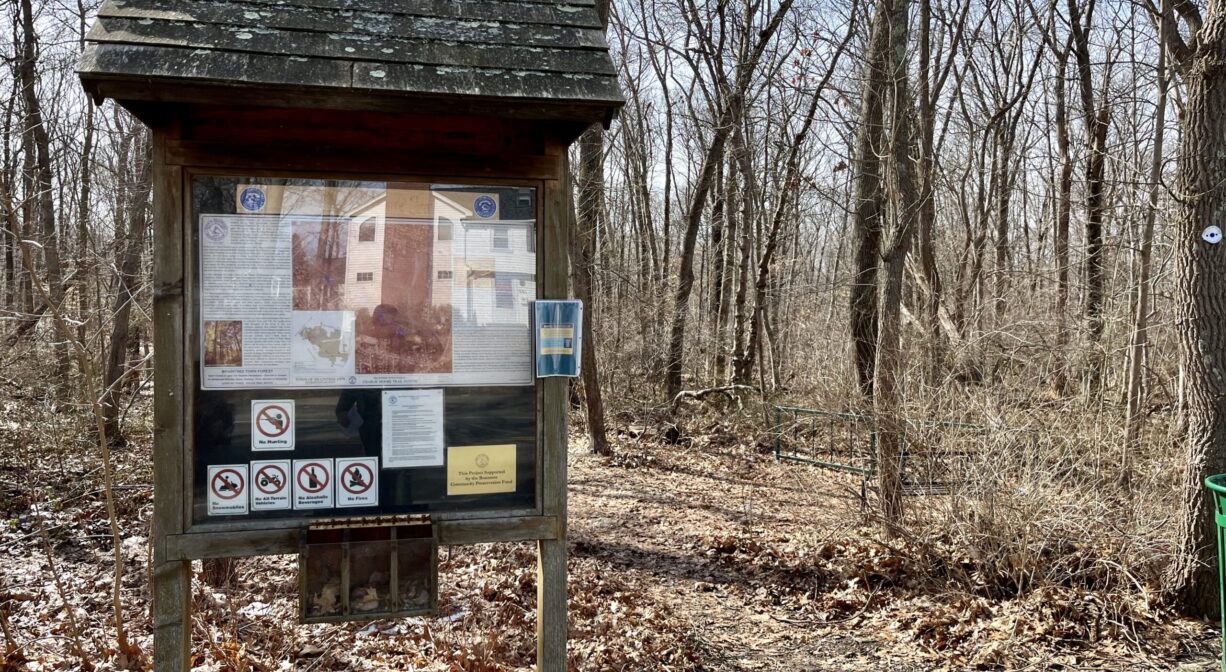
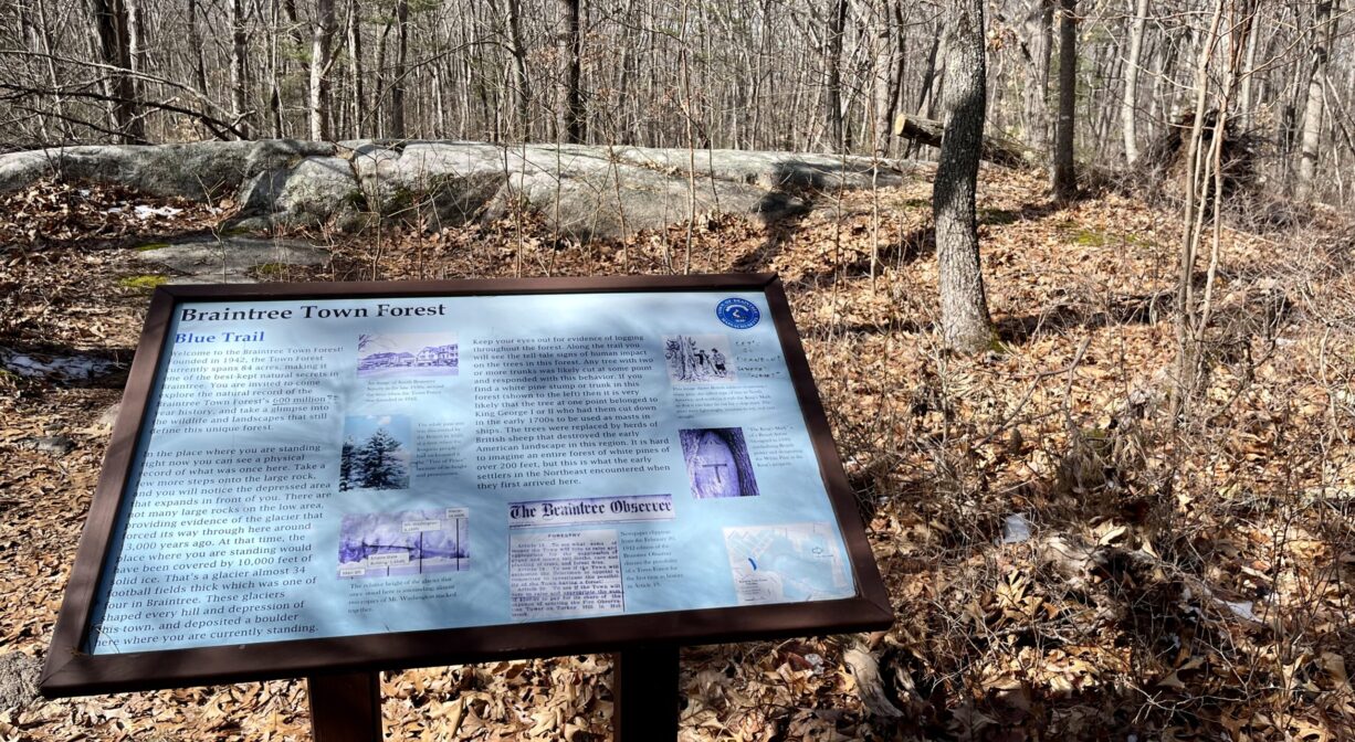
The Braintree Town Forest was established by Braintree Town Meeting in 1938, for open space and forestry. In 2011, the trails were dedicated to Charlie Moore, a long-time member of the Town Forest Committee. According to the Braintree Trail Guide, District 6 Councilor Dan Clifford and the Public Works Department were instrumental in revitalizing the Town Forest trails, and Moore was a dedicated steward of the forest.
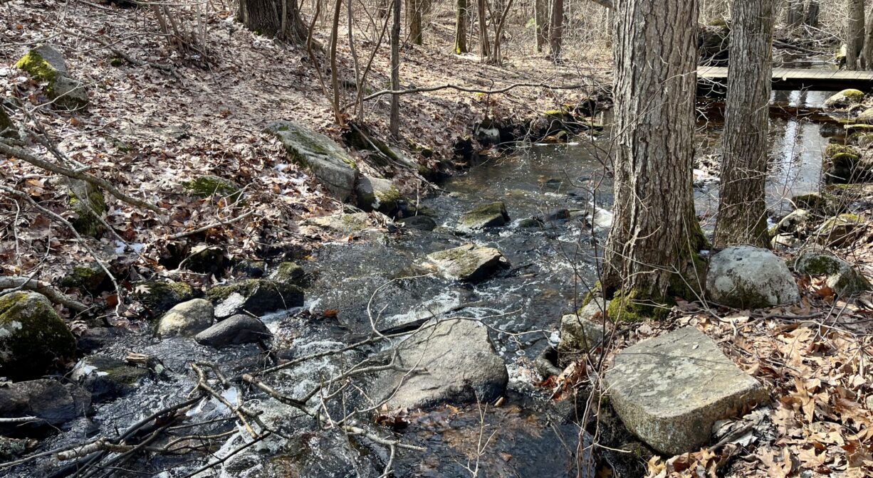
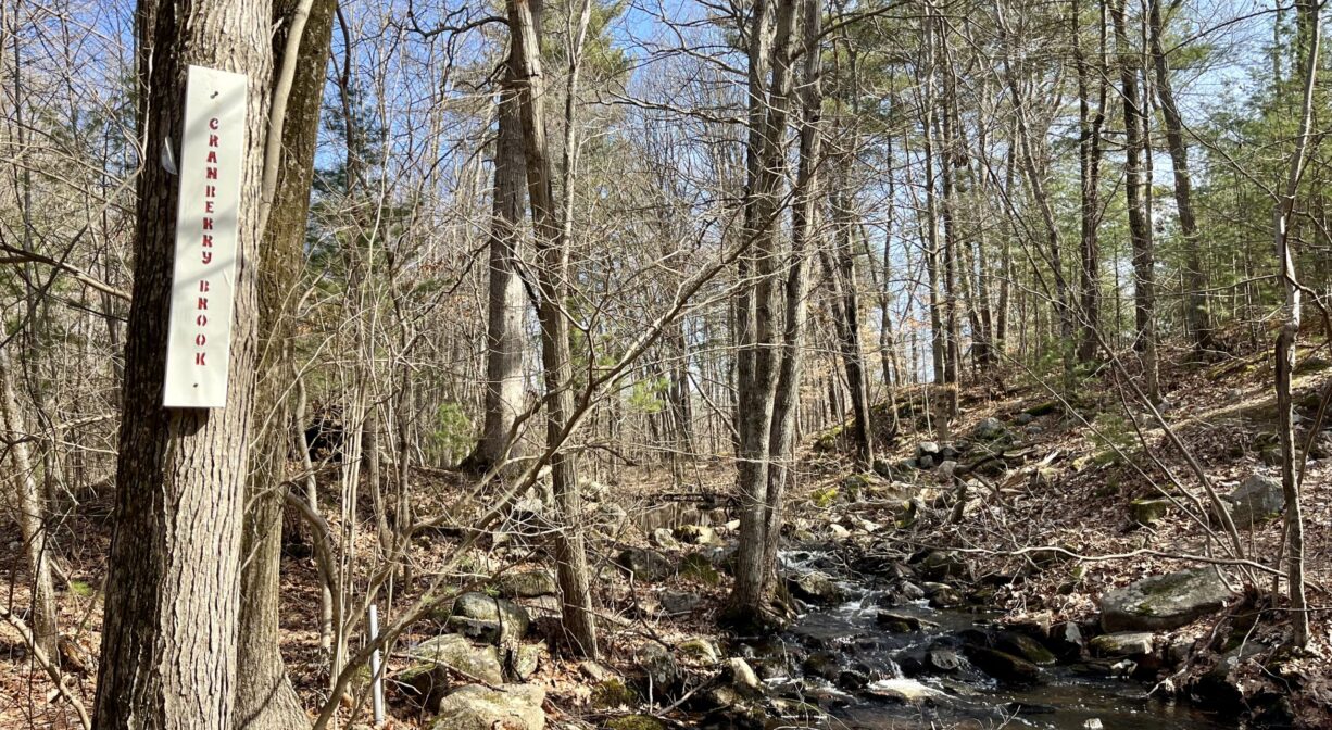
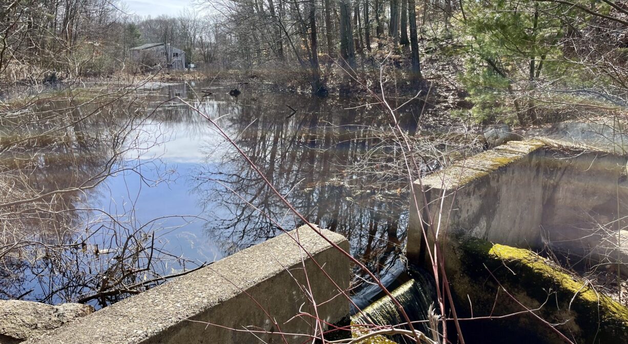
There are two dams along Cranberry Brook within the Town Forest and one more in Cranberry Pond Conservation Area nearby — indications that this area was once used for milling or manufacturing. According to interpretive signage within the property, the lower dam in the Town Forest was probably Ludden’s Mill, established in 1795. The other two were likely retention dams. Cranberry Brook is also known as Horse Brook.
This land is within the region of the Massachusett (or Massachuseuk). To learn more about local Native American tribes, we encourage you to interact with their members. The Massachusett tribe at Ponkapoag shares information on its website.
Trail Description
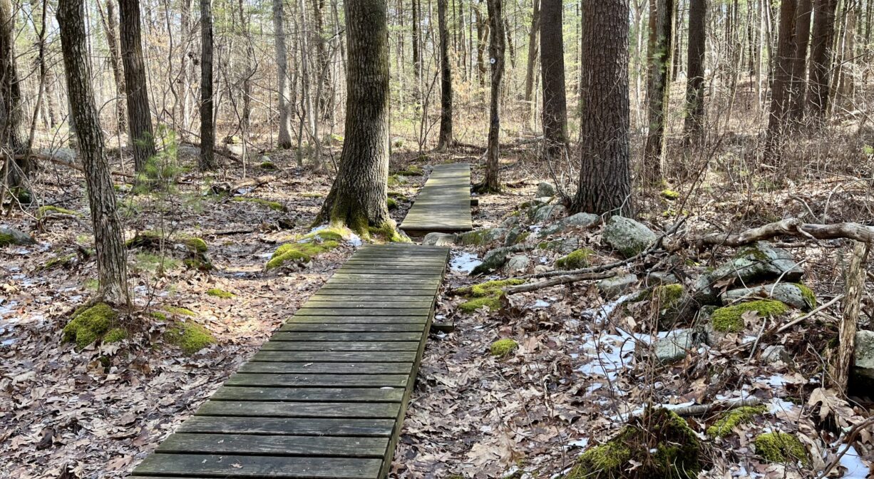
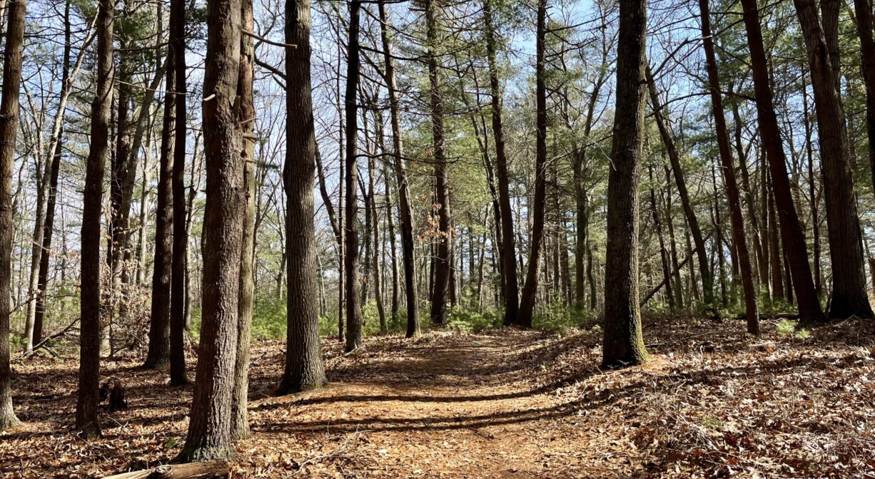
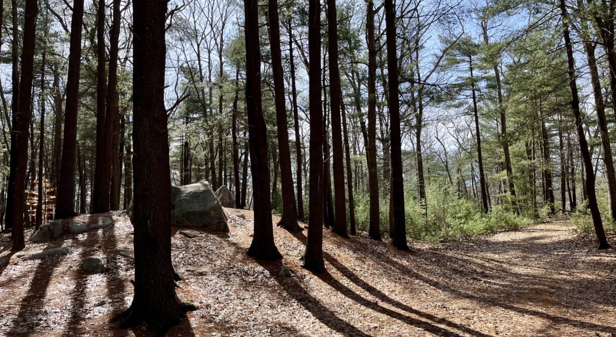
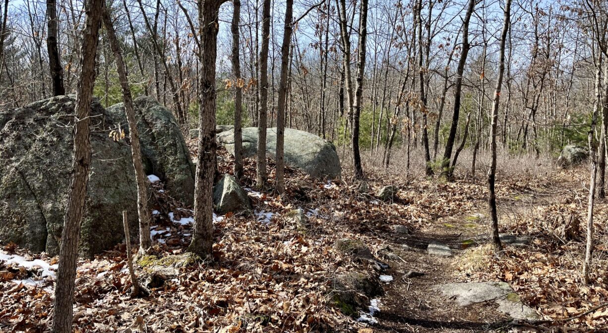
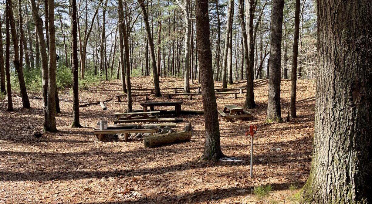
Look for the informational kiosk on Peach Street, which marks the main trailhead. From there you can access the 3.5-mile, color-coded trail network. The trails are well-marked, well-tended, and easy to follow. The blue trail leads from the parking area to all of the other trails. The orange trail features an intriguing rocky area and intersects with the yellow trail. Both the red and green trails offer close-up views of Cranberry Brook. The trails are relatively flat, although there are some occasional elevations and uneven spots. There is picnic area on the red trail, in a pleasant pine grove, with several picnic tables.
Additional pedestrian access from Marisa Drive, Wildwood Ave. and Sheraton Ave.
Habitats and Wildlife
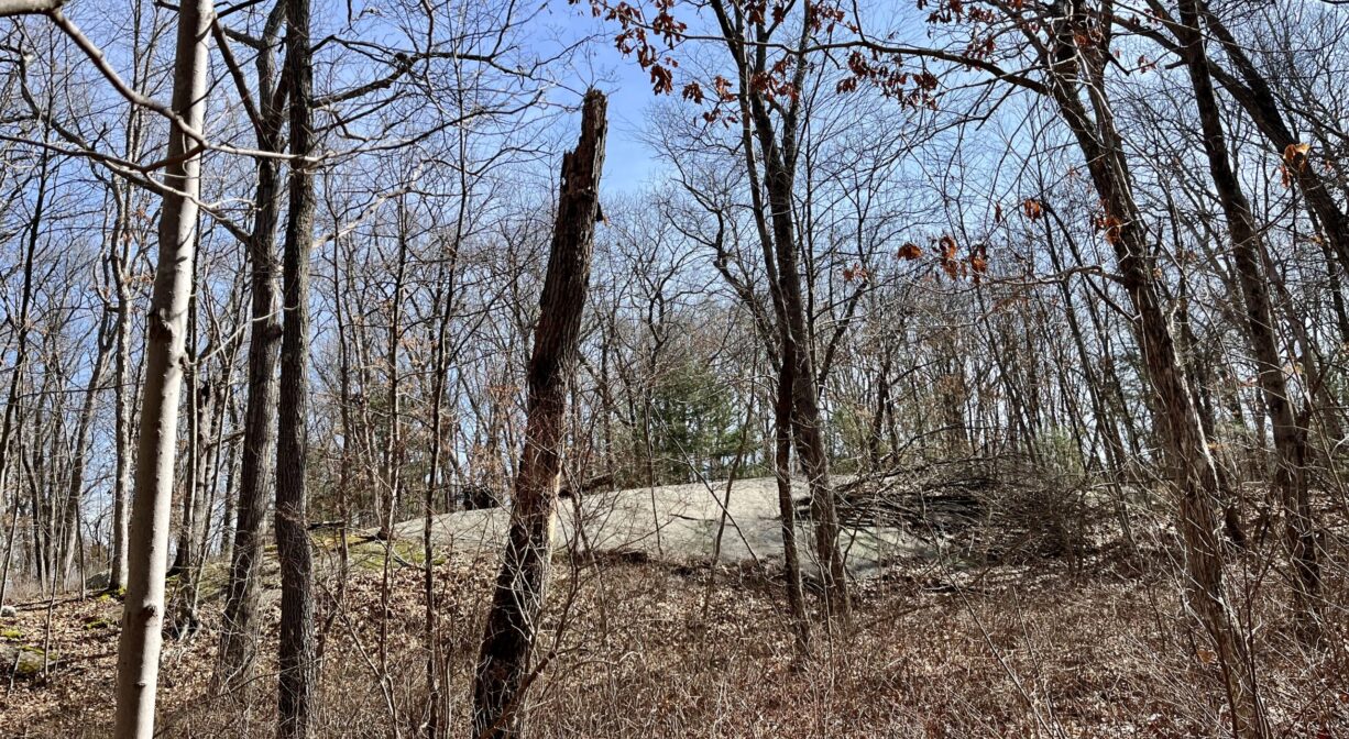
The forest here is mostly oak and pine, with some beech, American holly and sassafras. Here and there, you’ll find glacial erratics and rocky outcroppings.
Cranberry Brook flows through the property, and is bordered by wetlands. In 1983, the 1050-acre Cranberry Brook watershed was established as an Area of Critical Environmental Concern (ACEC), designated by the Secretary of Environmental Affairs for its unique and significant natural resources. It includes 157 acres of wetlands, as well as a pond, a brook, two quaking bogs, a marsh, and wooded swamps.
Cranberry Brook originates in Holbrook, near the Town Forest and flows north through Braintree’s Cranberry Pond Conservation Area before turning west to enter the Braintree Town Forest. After passing under Route 37, it flows into the Cochato River. Farther downstream, within the Braintree Municipal Golf Course, the Cochato and Farm Rivers flow together to form the Monatiquot River.
The Monatiquot River flows northeast for 4.9 miles before merging with Smelt Brook to form the Fore River. The Fore River serves as the boundary between the towns of Weymouth and Braintree. It flows for about 3 miles, into Quincy, where it meets Town River, and then flows for another 2 miles into Hingham Bay. In its final few miles, the Fore River is nearly a mile wide in some spots.
Historic Site: No
Park: No
Beach: No
Boat Launch: No
Lifeguards: No
Size: 85 acres
Hours: Dawn to Dusk
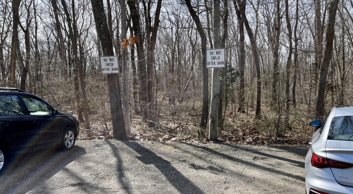
Parking: Limited on-site parking at 75 Peach Street.
Cost: Free
Trail Difficulty: Easy, Medium
Facilities:
Informational kiosk, interpretive signage, boardwalks, picnic tables, trash receptacles, benches.
Dogs: Dogs must remain on leash. Always clean up after your dog!
Boat Ramp: No
ADA Access: No
Scenic Views: Yes
Waterbody/Watershed: Cranberry Brook (Fore River watershed)