
Eutaw Ave, Braintree, MA 02184, USA
Braintree Planning & Community Development: 781-794-8230
Owned By: Town of Braintree
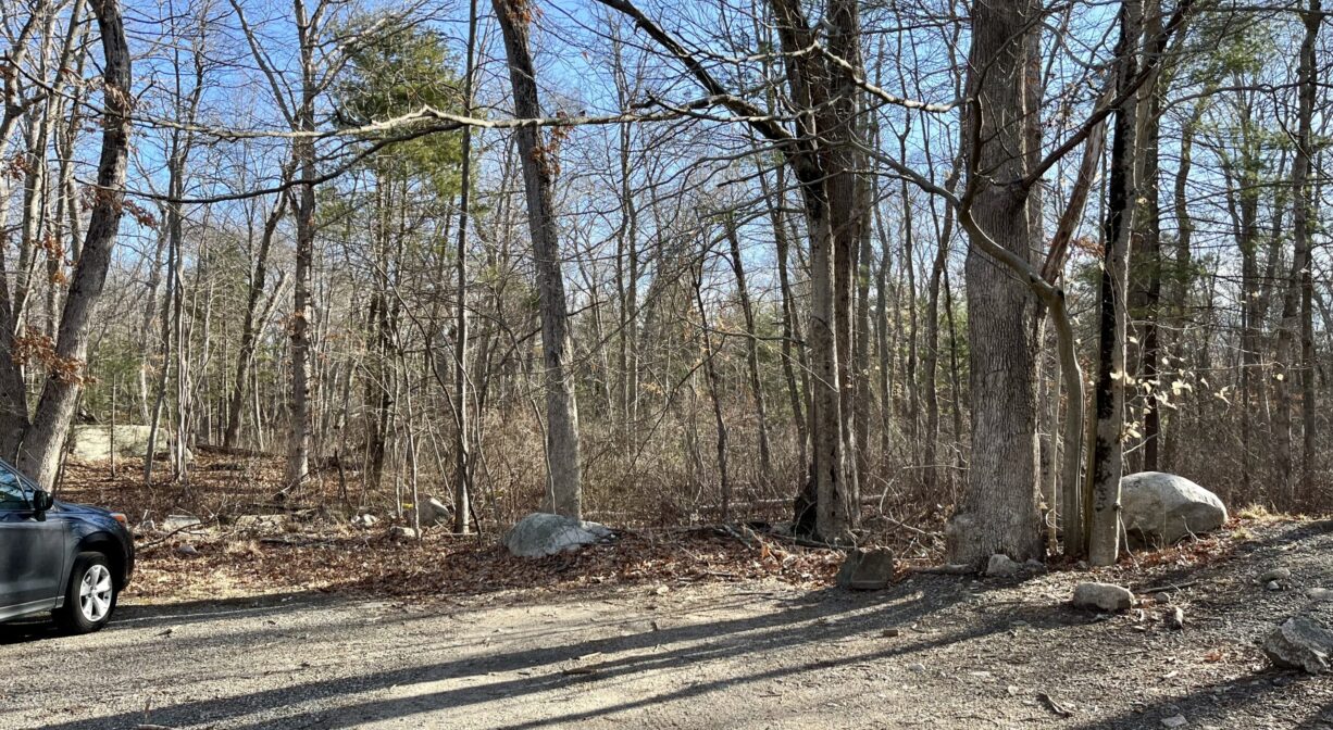
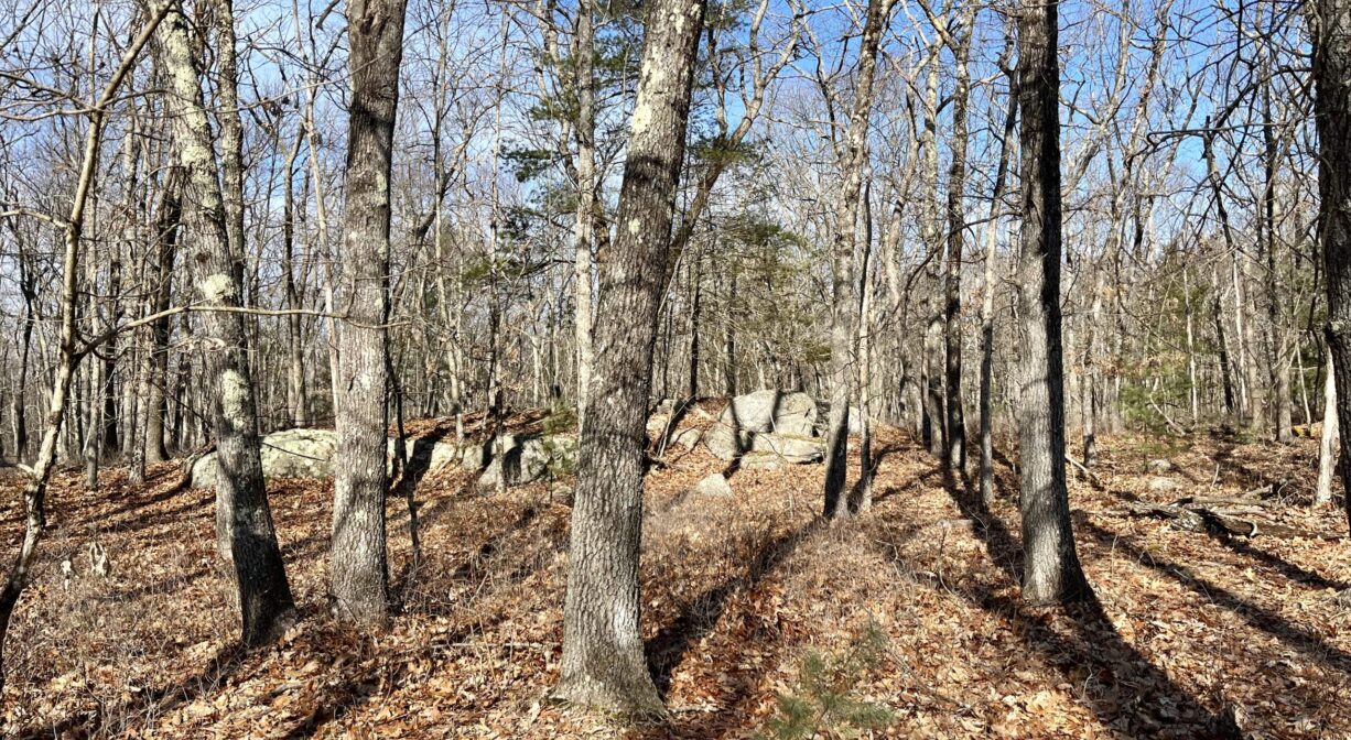
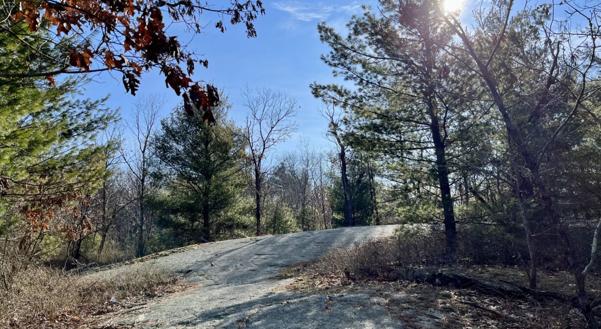
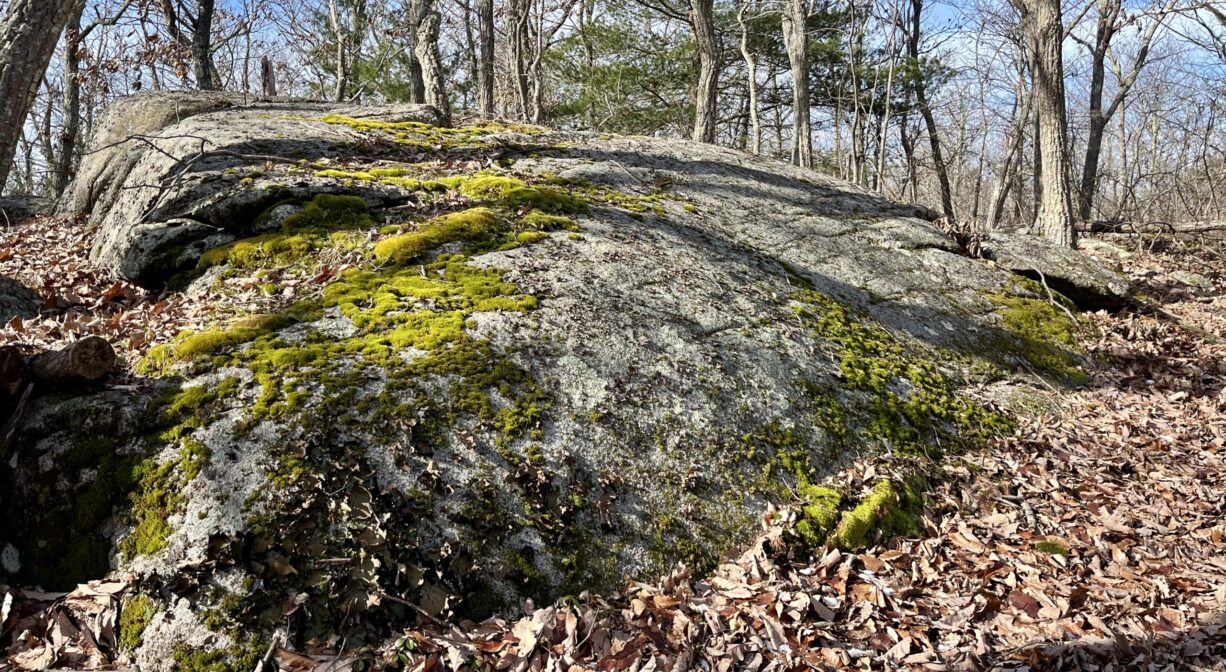
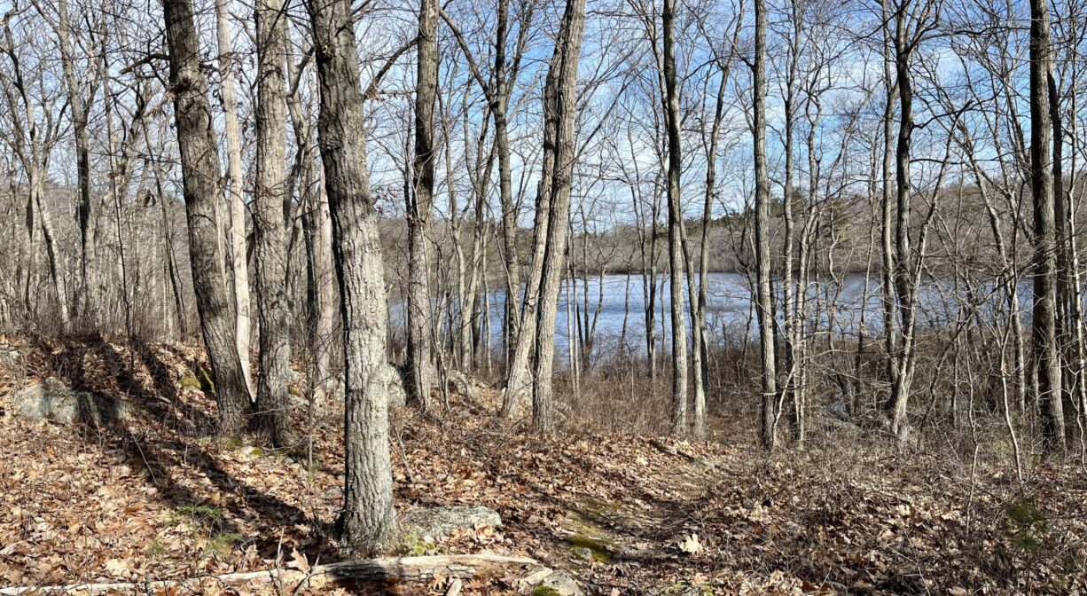
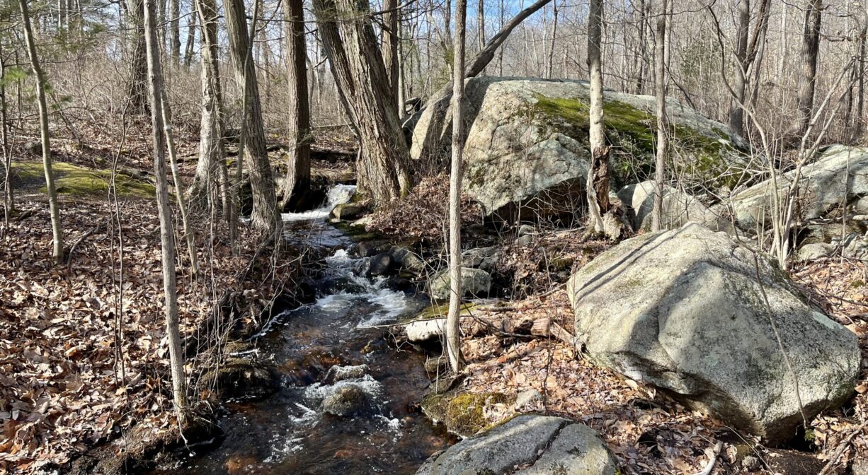
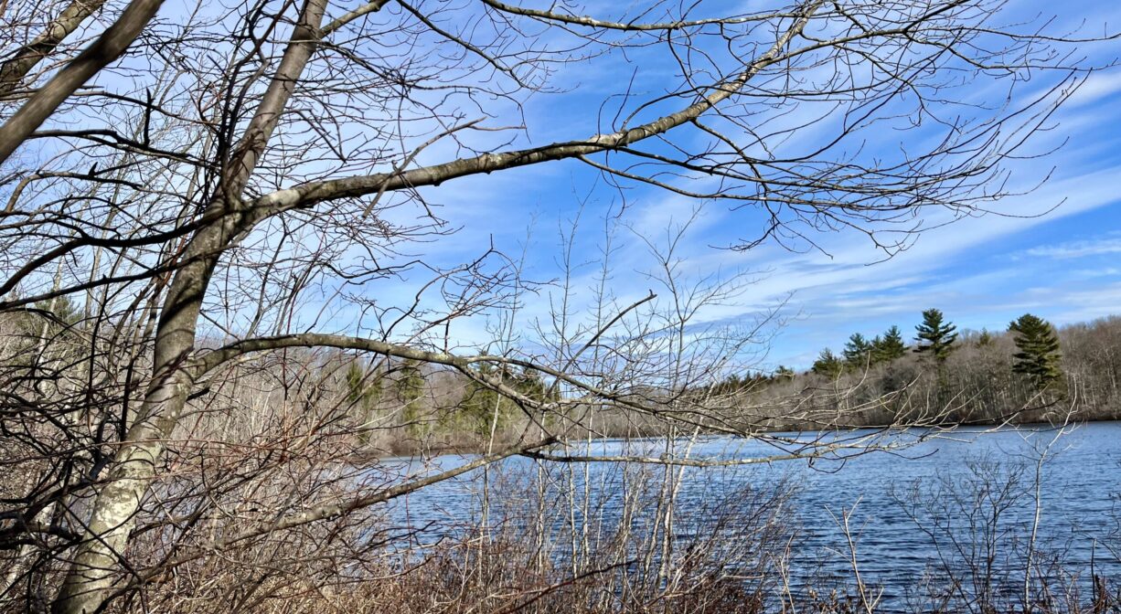
The Cranberry Pond Conservation Area is a 140-acre wooded property on the Braintree-Holbrook line. It features 2 miles of trails, plus views of Cranberry Pond and Cranberry Brook. The landscape is scattered with rocky outcroppings and glacial erratic boulders, plus at least one old stone wall. It is adjacent to Braintree’s Devon Woods Open Space Area. Trail access to the Holbrook Town Forest.
Hunting is not allowed on this property.
Features
The Cranberry Pond Conservation Area was acquired by the Town of Braintree as conservation land in 1965.
This land is within the region of the Massachuseuk (or Massachusett) Native American tribe. To learn more about local Native American tribes, we encourage you to interact with their members. The Massachusett tribe at Ponkapoag shares information on its website.
Trail Description
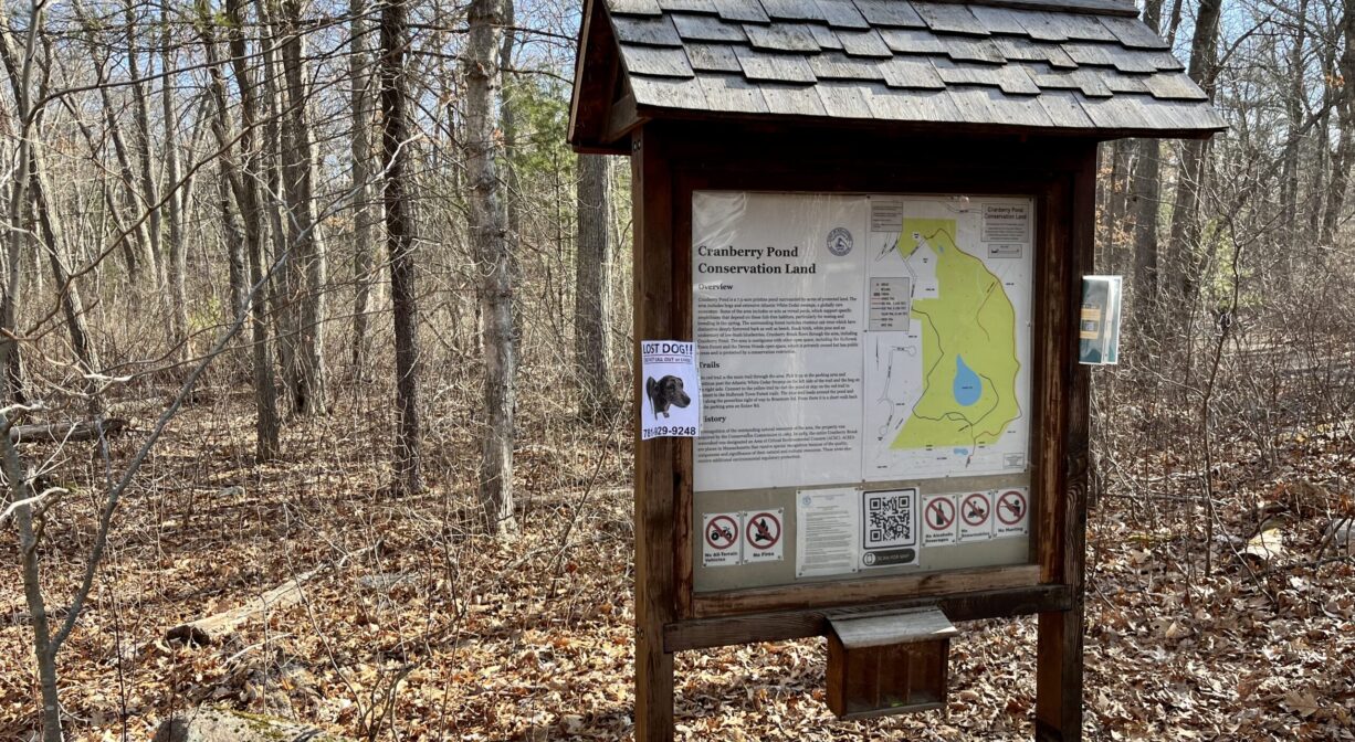
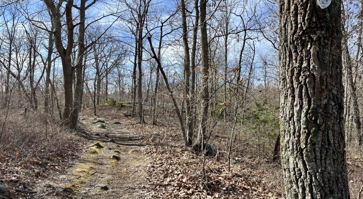
There are trailheads on Eutaw Road and Hillsdale Road. Look for the informational kiosk at the Eutaw Road entrance, where you can access a long loop trail, blazed in red. It skirts the eastern perimeter of the property and connects with the Holbrook Town Forest. From this loop, there are additional, shorter trails (blue, yellow, orange, green), most of which offer close-up views of Cranberry Pond.
The red trail eventually connects with the blue trail, which skirts the western perimeter of the property, and ends at the Hillsdale Road entrance. Return to your starting place with a short neighborhood walk down Braemore and Hillsdale Roads.
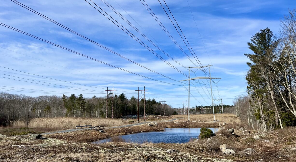
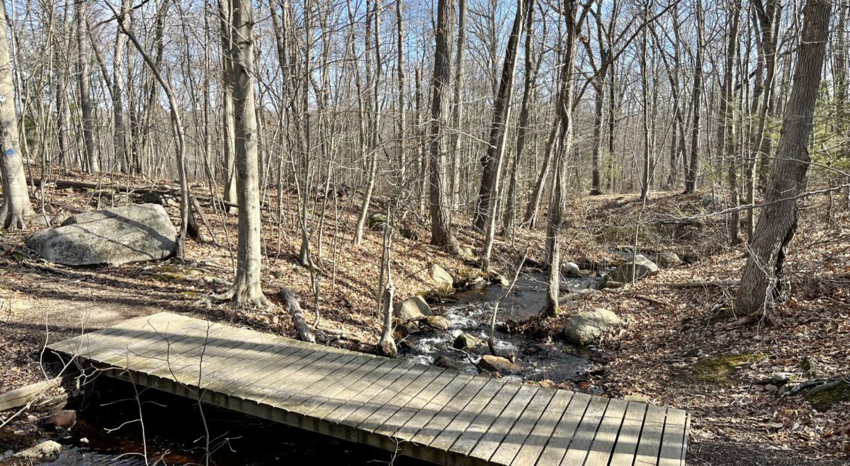
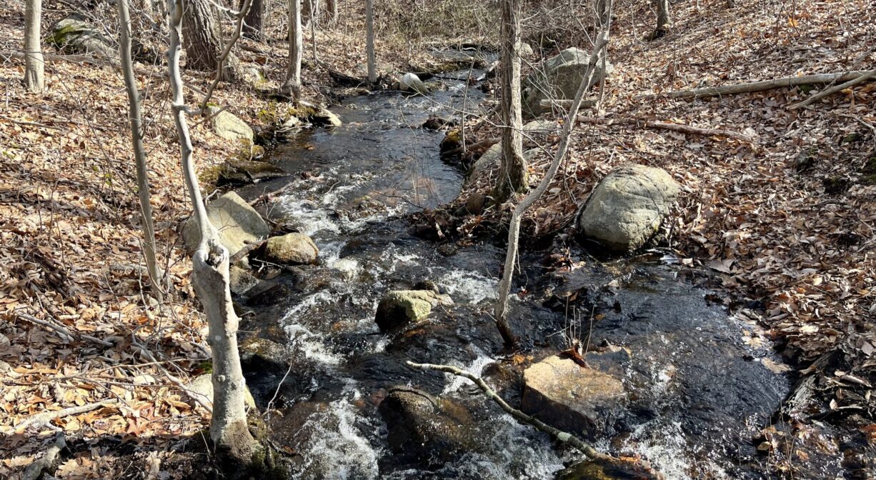
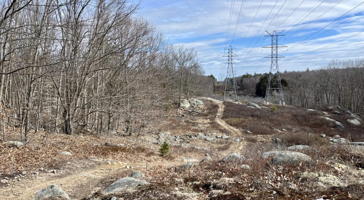
There are 2 miles of trails here, traversing rolling forest hills, sandy power easements, and wetlands, with the occasional bridge or boardwalk. The trail crosses Cranberry Brook twice. While the trails are mostly color-coded and blazed, they are sometimes difficult to follow. We recommend carrying a trail map.
Habitats and Wildlife
Cranberry Pond itself is relatively small (7.5 acres), compared with the overall size of this property. Around the pond are vernal pools, bogs and Atlantic white cedar swamps. The forest is primarily chestnut oak, along with beech, black birch, white pine and some low-bush blueberries.
Cranberry Brook flows through the property, and is bordered by wetlands. In 1983, the 1050-acre Cranberry Brook watershed was established as an Area of Critical Environmental Concern (ACEC), designated by the Secretary of Environmental Affairs for its unique and significant natural resources. It includes 157 acres of wetlands, as well as a pond, a brook, two quaking bogs, a marsh, and wooded swamps.
Cranberry Brook originates in Holbrook, near the Town Forest, and flows north through Braintree’s Cranberry Pond Conservation Area before turning west to enter the Braintree Town Forest. After passing under Route 37, it flows into the Cochato River. Farther downstream, within the Braintree Municipal Golf Course, the Cochato and Farm Rivers flow together to form the Monatiquot River.
The Monatiquot River flows northeast for 4.9 miles before merging with Smelt Brook to form the Fore River. The Fore River serves as the boundary line between the towns of Weymouth and Braintree. It flows for about 3 miles, into Quincy, where it meets Town River, and then flows for another 2 miles into Hingham Bay. In its final few miles, the Fore River is nearly a mile wide in some places.
Historic Site: No
Park: No
Beach: No
Boat Launch: No
Lifeguards: No
Size: 140 acres
Hours: Dawn to Dusk
Parking: Limited on-site parking on Eutaw Road and Hillsdale Road.
Cost: Free
Trail Difficulty: Easy, Medium
Facilities:
Informational kiosk.
Dogs: Dogs must remain on leash. Always clean up after your dog!
Boat Ramp: No
ADA Access: No
Scenic Views: Yes
Waterbody/Watershed: Cranberry Brook (Fore River watershed)