
Holbrook Town Forest-Sodergren Enterance, Wiggins, Holbrook, MA 02343, USA
Town of Holbrook: (781) 767-4313
Owned By: Town of Holbrook
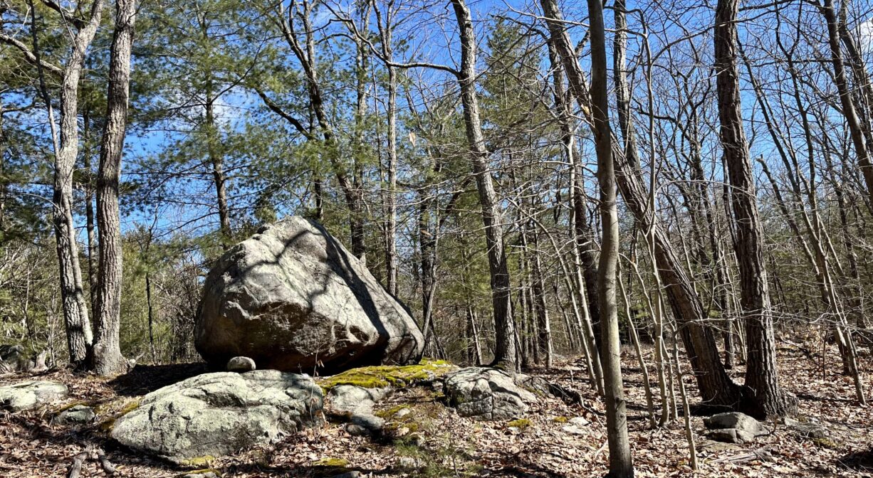
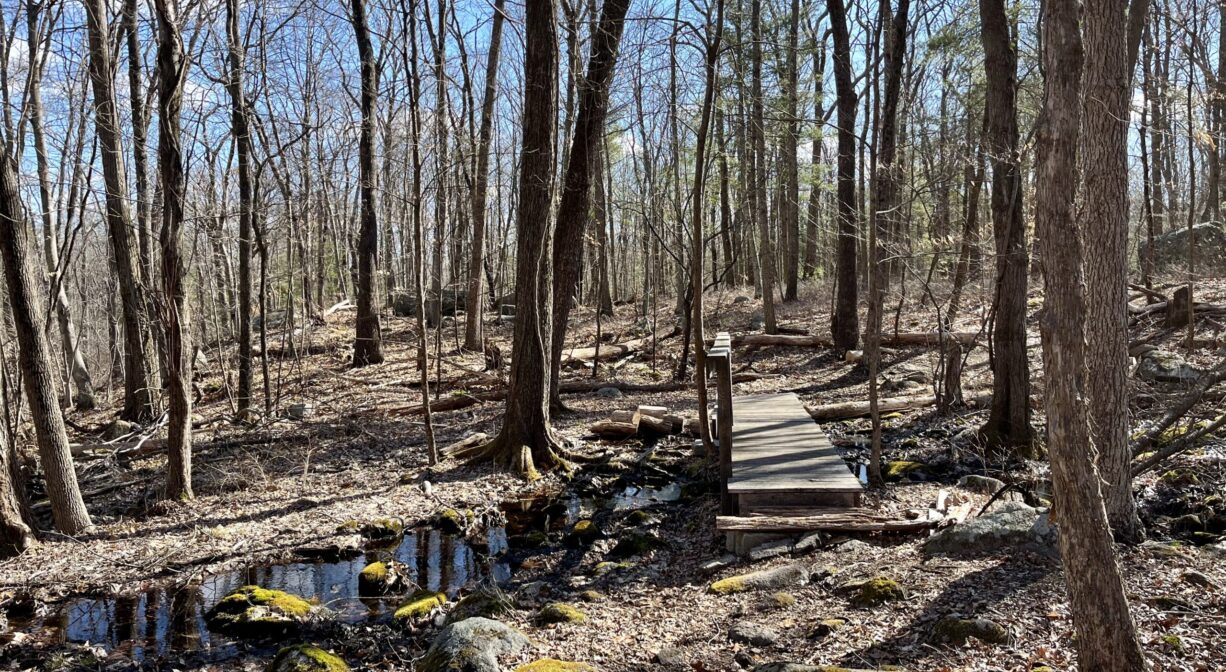
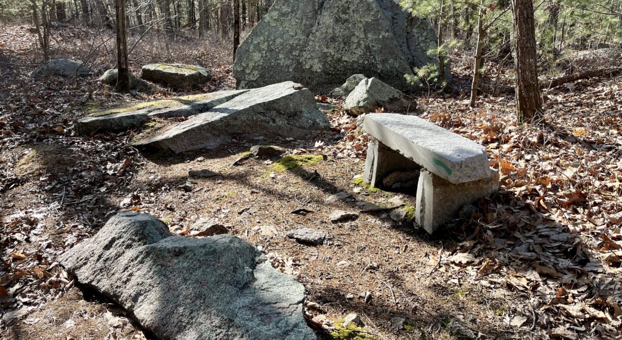
The Holbrook Town Forest features 115 acres of woodlands and forested wetlands, with 3 miles of well-marked and well-tended trails, plus views of Hemlock Brook. In addition, there are numerous glacial erratic boulders, vernal pools, and the occasional rocky outcropping. Don’t miss Turtle Head Rock and the Garden of the Gods. Links directly to Braintree’s Cranberry Pond Conservation Area.
HUNTING: Hunting is allowed, in season, by licensed persons in compliance with Massachusetts law. Please be sure to understand state and local hunting guidelines before proceeding. Non-hunters, be mindful of hunting seasons, and wear bright orange if you’re entering the property during those times. Hunting is not permitted on Sundays.
Features
Holbrook Town Forest was established in 1955, on undeveloped land.
This land is within the region of the Massachusett (or Massachuseuk). To learn more about local Native American tribes, we encourage you to interact with their members. The Massachusett tribe at Ponkapoag and the Mattakeeset band of the Massachusett share information on their websites.
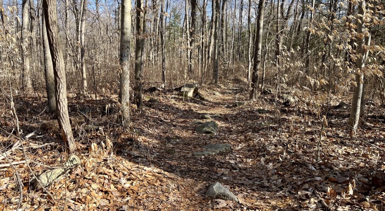
Trail Description
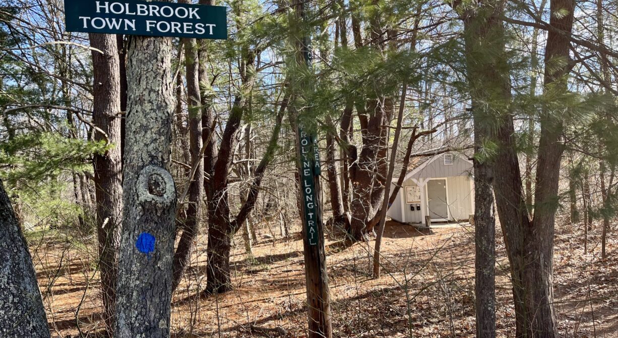
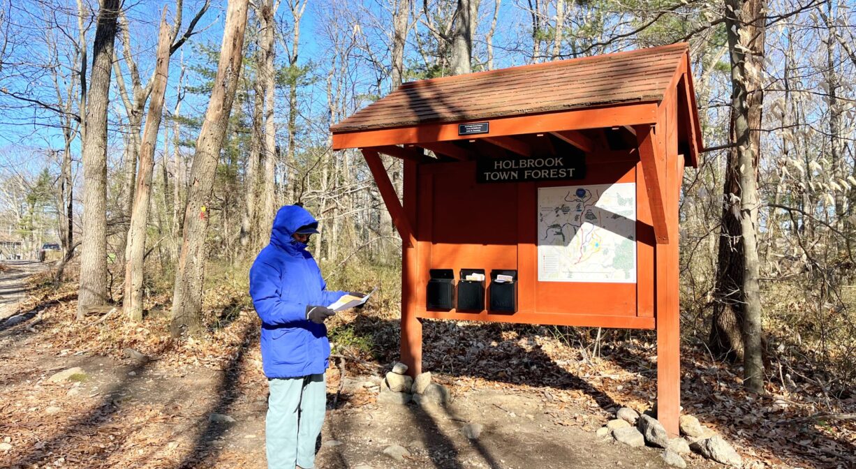
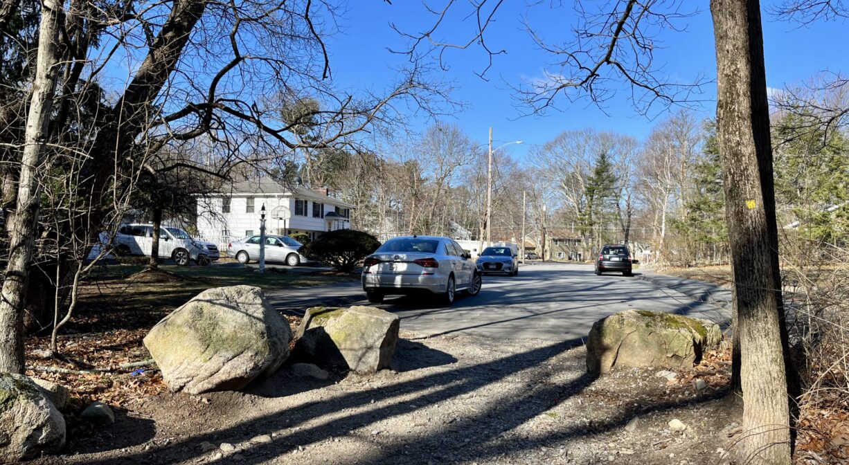
Trailheads with roadside parking at the end of Park Drive, at 75 Pine Street, and at 255 Pine Street.
The Wiggins Trail, blazed in red, runs south to north from the Park Drive entrance to the boundary of Braintree’s Cranberry Pond Conservation Area, where you can continue your hike.
The Long Trail, blazed in blue, runs west to east from the Carolyn Long entrance at 255 Pine Street. It intersects with the Wiggins Trail in 2 places. It also intersects with the yellow-blazed Diman Trail, which extends north & south.
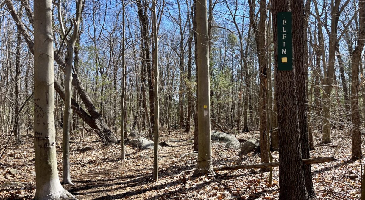
The Elfin Pond Trail, blazed in yellow, is best accessed from the Wiggins Trail, a short distance north of the Park Drive trailhead. It extends around Elfin Pond, a large vernal pool.
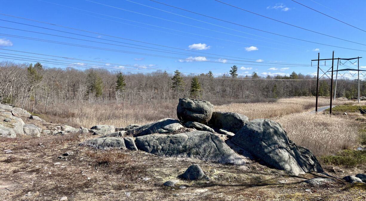
The Boundary Trail, blazed in orange, begins at the 75 Pine Street trailhead, passes by Elfin Pond, and continues to the northern property boundary (where you’ll find a utility easement and some captivating views).
Habitats and Wildlife
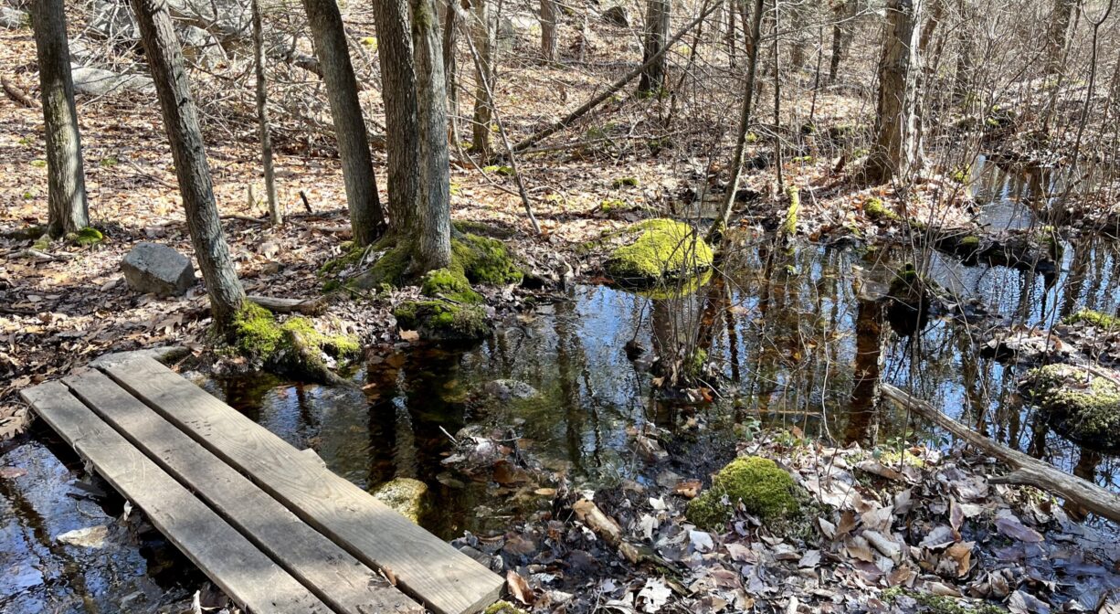
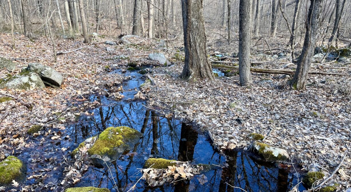
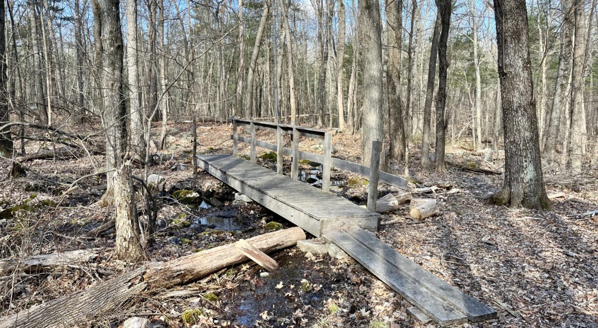
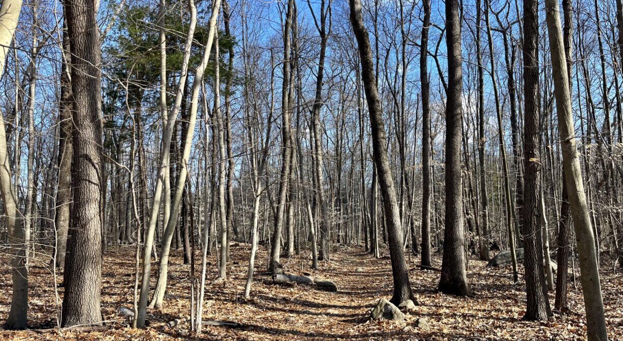
The woodlands here are made up of oak, beech, maple, sassafras, hemlock and pine. The terrain is often rocky. There are numerous glacial erratic boulders and an occasional rocky outcropping. The trails feature at least 3 stream crossings. Look for lady slippers in the spring, and wild blueberries in the summer.
Hemlock Brook, a tributary to Cranberry Brook, flows through the property. In 1983, the 1050-acre Cranberry Brook watershed was established as an Area of Critical Environmental Concern (ACEC), designated by the Secretary of Environmental Affairs for its unique and significant natural resources. It includes 157 acres of wetlands, as well as a pond, a brook, two quaking bogs, a marsh, and wooded swamps.
Cranberry Brook originates in Holbrook, near the Town Forest, and flows north through Braintree’s Cranberry Pond Conservation Area before turning west to enter the Braintree Town Forest. After passing under Route 37, it flows into the Cochato River. Farther downstream, within the Braintree Municipal Golf Course, the Cochato and Farm Rivers flow together to form the Monatiquot River.
The Monatiquot River flows northeast for 4.9 miles before merging with Smelt Brook to form the Fore River. The Fore River serves as the boundary line between the towns of Weymouth and Braintree. It flows for about 3 miles, into Quincy, where it meets Town River, and then flows for another 2 miles into Hingham Bay. In its final few miles, the Fore River is nearly a mile wide in some places.
Historic Site: No
Park: No
Beach: No
Boat Launch: No
Lifeguards: No
Size: 115 acres
Hours: Dawn to Dusk
Parking: Trailheads with roadside parking at the end of Forest Drive, and at 255 Pine Street.
Cost: Free
Trail Difficulty: Medium
Facilities:
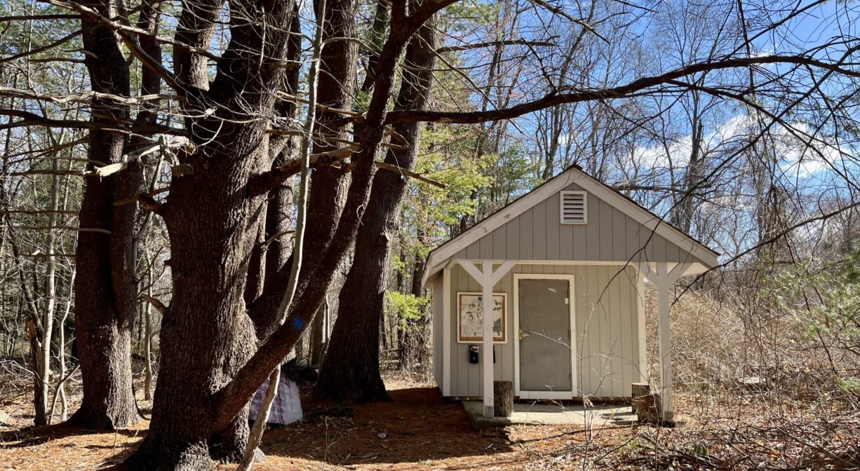
Informational kiosk with maps, wooden bridges.
Dogs: Dogs must remain on leash. Please clean up after your pet!
Boat Ramp: No
ADA Access: No
Scenic Views: Yes
Waterbody/Watershed: Hemlock Brook, Cranberry Brook (Fore River watershed)