Cherry Ln, Duxbury, MA 02332, USA
Owned By: Town of Duxbury
Duxbury’s Cherry Lane Bogs offers about a mile of wide, flat trails around cranberry bogs. The property also features open fields, ponds and wetlands, plus access to Island Creek Pond for fishing. Directly adjacent to Round Pond Conservation Area.
It’s important to know that some of our freshwater fisheries are contaminated with mercury, PFAS and/or other concerning substances. The Massachusetts Department of Public Health maintains an online database with up-to-date advisories regarding fish consumption, sorted by location. We recommend you consult this valuable resource when planning a fishing excursion.
Features
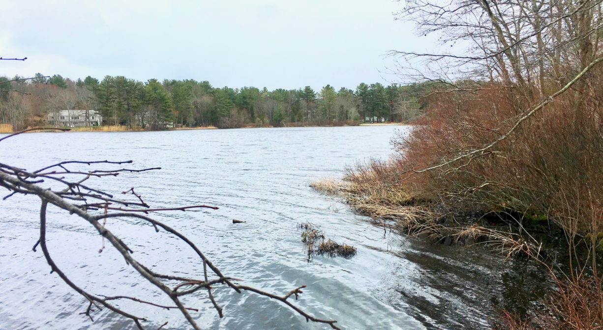
This secluded property offers access to Island Creek Pond, where there once was a herring fishery. In 1702, when the first dam was constructed on Island Creek, it was required that the builder ensure passage for herring. In the decades to follow, the town appointed men to keep the waterways clear, and to restrict the days and times when herring could be caught. However by the mid-1800s, after industry had come to Island Creek, the herring fishery was forgotten. Dams from a grist mill, a sawmill, a foundry and a tack factory restricted passage and the fishery died out.
Fortunately this lapse did not last long. In 1877, the pond was restocked with alewives and salmon, and the work of keeping the brook clear recommenced, with a fish ladder constructed below Mill Pond in 1907. Efforts to keep fish ladders in working order have continued sporadically since then. For example, the county fire authority constructed a control dam on the creek in the 1930s to increase the size of the pond for water supply, effectively shutting out migratory fish. But in the 1960s and early 2000s, fish ladders were repaired and sluice ways were constructed to allow fish to pass through.
This land is within the region of the Patuxet Wampanoag tribe, who for centuries have inhabited the area around the Jones River now known as Duxbury, Kingston and Plymouth. To learn more about local Native American tribes, we encourage you to interact with their members. The Mashpee Wampanoag and the Herring Pond Wampanoag share information on their websites.
Trail Description
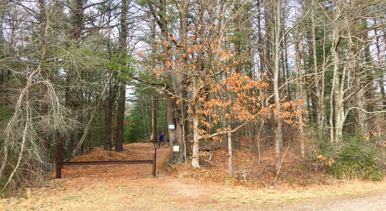
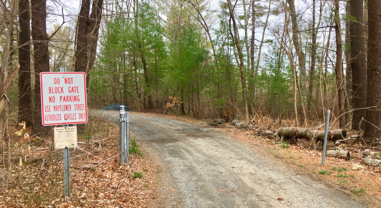
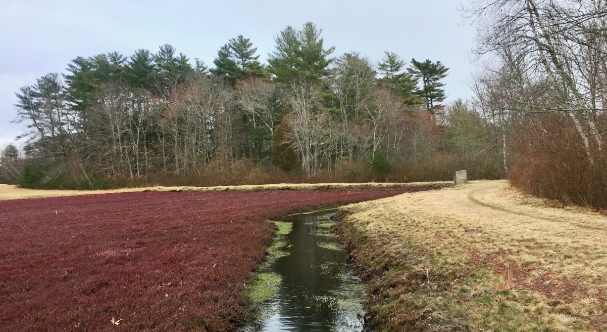
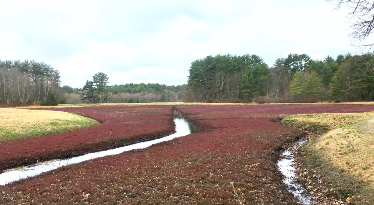
Pedestrian access from Cherry Lane leads directly to a 1-mile network of dirt/gravel roads surrounding the cranberry bogs. However there is no public parking on Cherry Lane, so many visitors access this property from the white and red trails at Round Pond Conservation Area. A portion of the Bay Circuit Trail runs through this property. It is marked with white blazes.
Direct access to Island Creek Pond (for anglers and small boats) is available at Crocker Memorial Park, on Tobey Garden Street in Duxbury.
Habitats and Wildlife
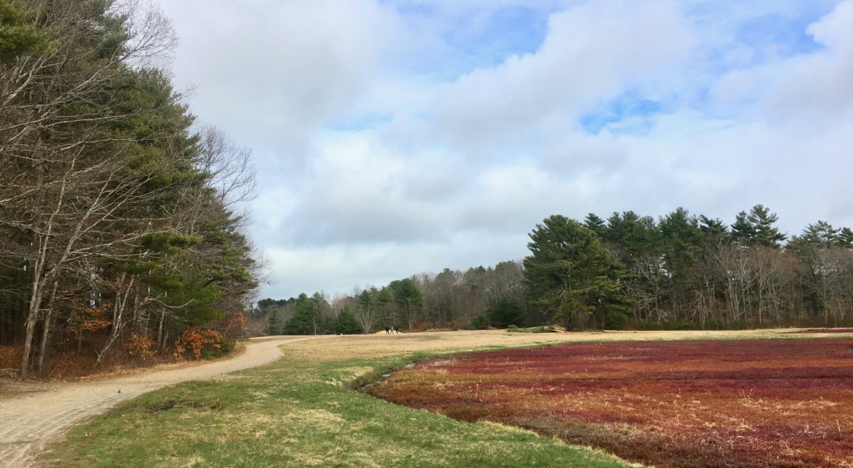
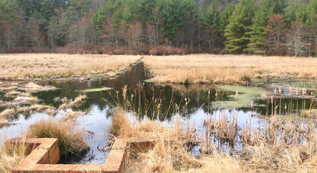
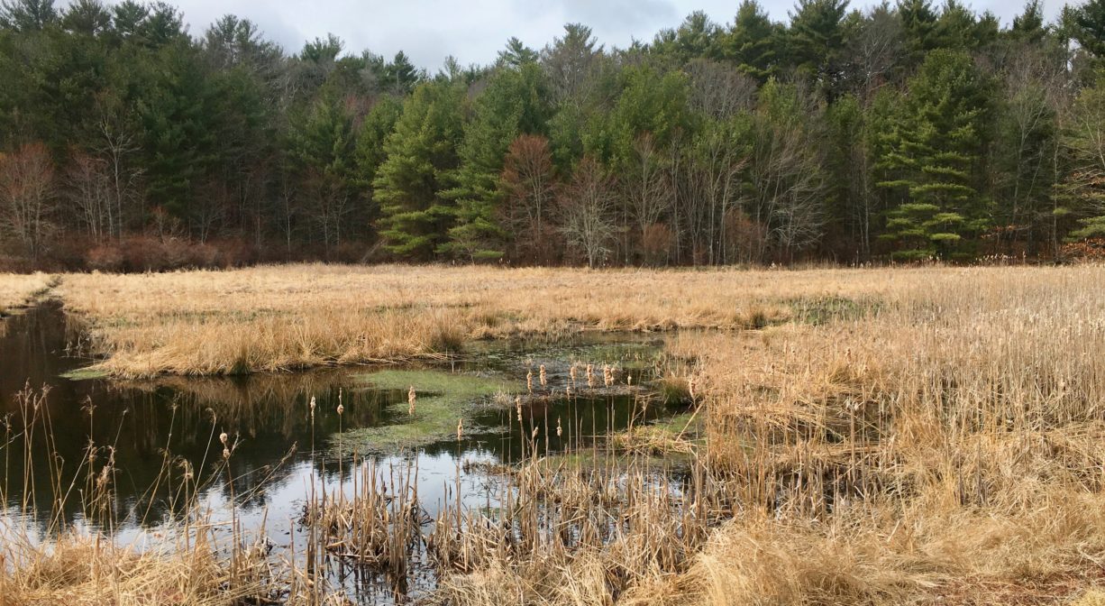
This property is made up mostly of 2 large cranberry bogs and a small pond, surrounded by dirt/gravel roads, and bordered by open fields, woods and wetlands. The woods include oak, beech, birch, and pine, with some red maple swamp and plenty of greenbrier.
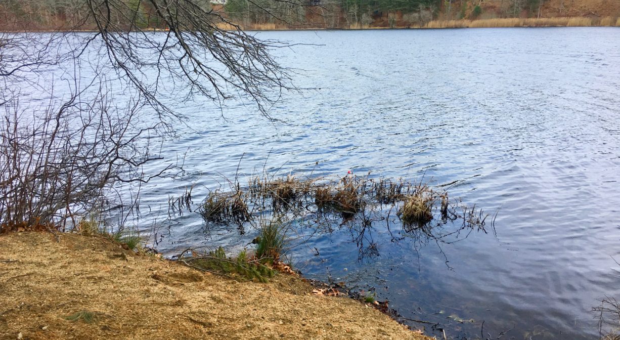
The 35-acre Island Creek Pond is directly adjacent; there is a small clearing on the pond that would suit anglers. It is about 0.75 miles in length and 0.5 miles in width, with a depth no greater than 8 feet. Fed by natural springs, Island Creek flows south for two miles through Mill Pond, under Route 3A (Tremont Street), and into Kingston Bay at Hicks Point.
There is a sluice way downstream of Elm Street and a fish ladder downstream of Tremont Street to facilitate the migration of anadromous fish. Alewife and blueback herring, as well as rainbow smelt, swim upstream to spawn in Island Creek Pond. Other fish commonly found here include largemouth bass, pickerel, yellow perch, sunfish, shad, and crappie.
Historic Site: No
Park: No
Beach: No
Boat Launch: No
Lifeguards: No
Size: 7 acres
Hours: Dawn to Dusk
Parking: Limited on-site parking on Mayflower Street. Pedestrian access from Cherry Lane.
Cost: Free
Trail Difficulty: Easy
Facilities:
Geocache location.
Dogs: Dogs must remain on leash or under control at all times. Scoop the poop!
Boat Ramp: No
ADA Access: No
Scenic Views: Yes
Waterbody/Watershed: Island Creek watershed