
480 Mayflower St, Duxbury, MA 02332, USA
Owned By: Town of Duxbury
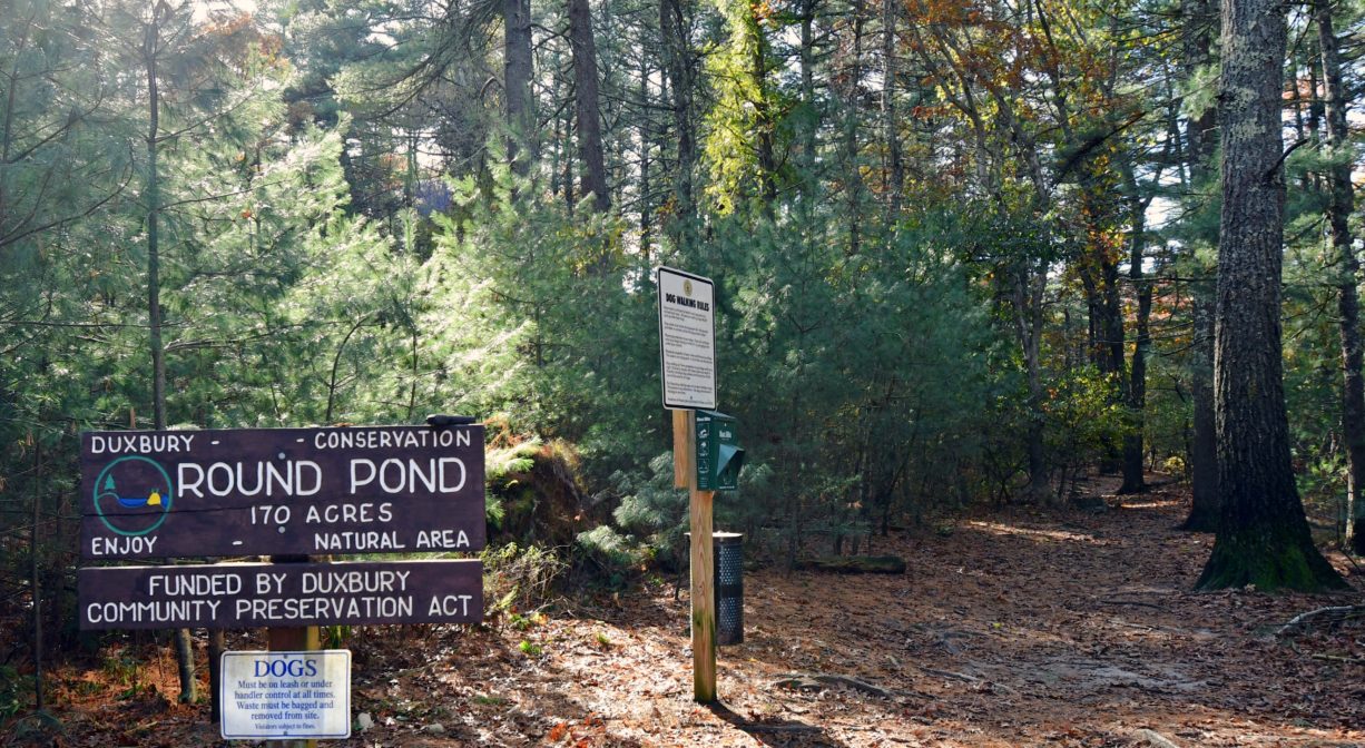
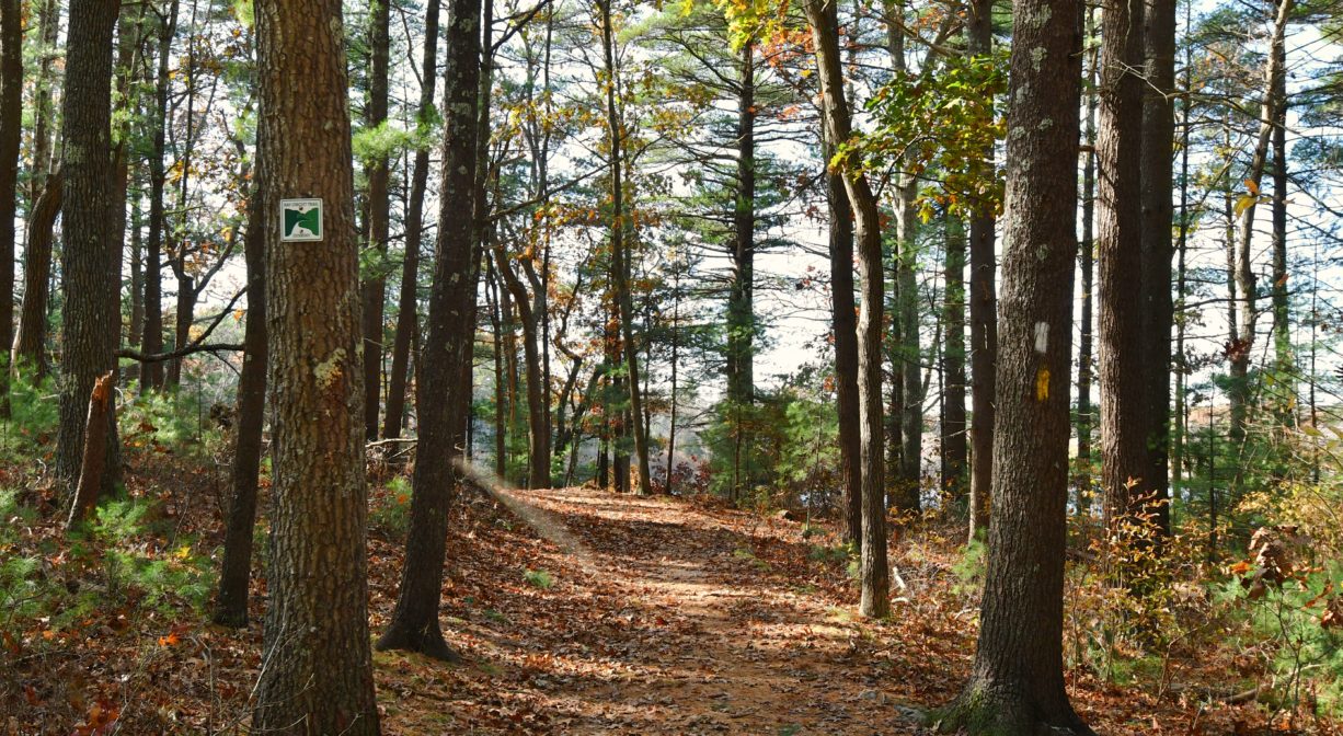
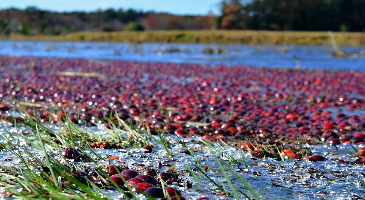
Round Pond Conservation Area is a 232-acre property in Duxbury with 3 miles of intersecting trails, including a section of the Bay Circuit Trail. The property features a kettle hole pond surrounded by pine and oak forest, as well as the David Cutler Forest. Many trails are suitable for horseback riding. The 7-acre Cherry Lane Bogs offer about a mile of wide, flat trails around cranberry bogs. The property also features open fields, ponds and wetlands, plus access to Island Creek Pond for fishing.
Hunting is not allowed on these properties.
Other trails nearby include: Frederick B. Knapp Town Forest, North Hill Marsh Wildlife Sanctuary, Waiting Hill Preserve, and Green’s Harbor Path & Kettle Hole Loop.
FISHING ADVISORY: It’s important to know that some of our freshwater fisheries are contaminated with mercury, PFAS and/or other concerning substances. The Massachusetts Department of Public Health maintains an online database with up-to-date advisories regarding fish consumption, sorted by location. We recommend you consult this valuable resource when planning a fishing excursion.
Features
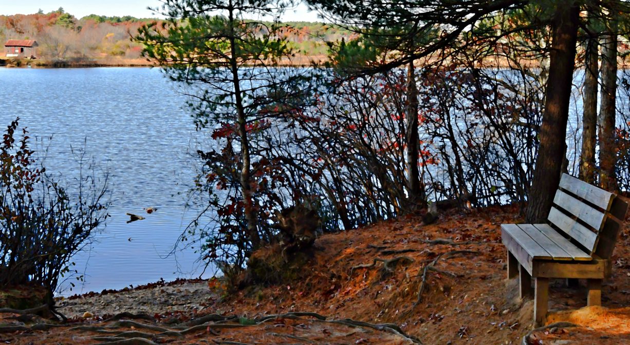
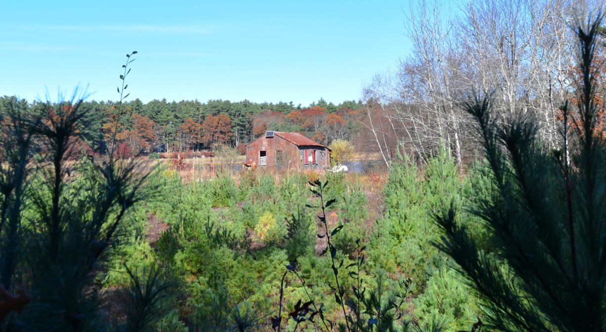
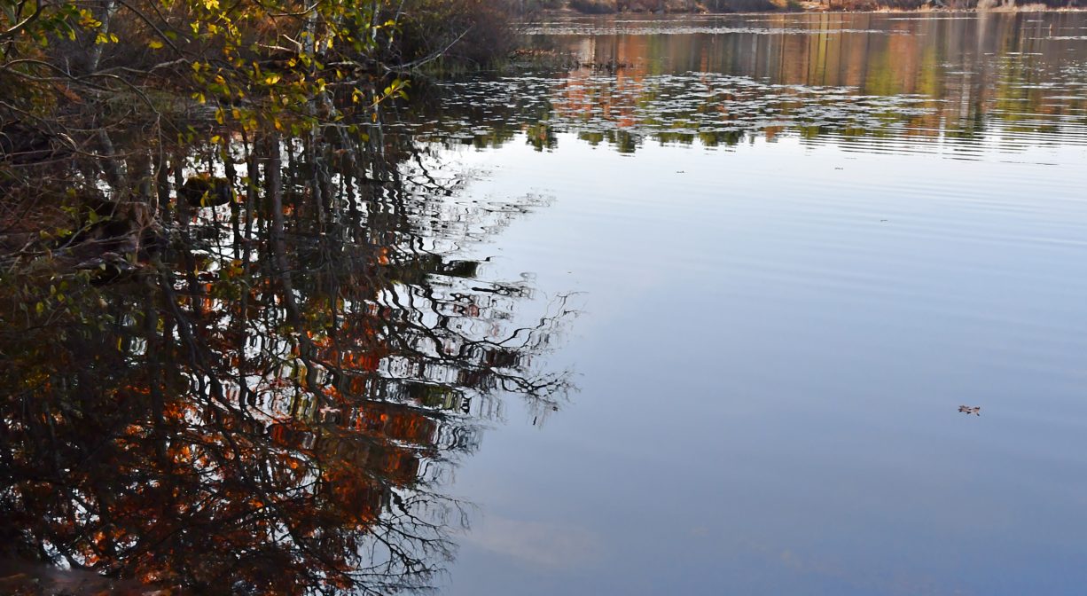
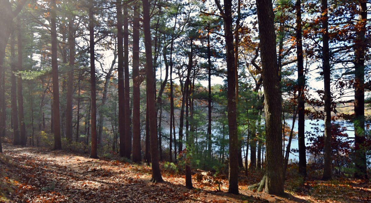
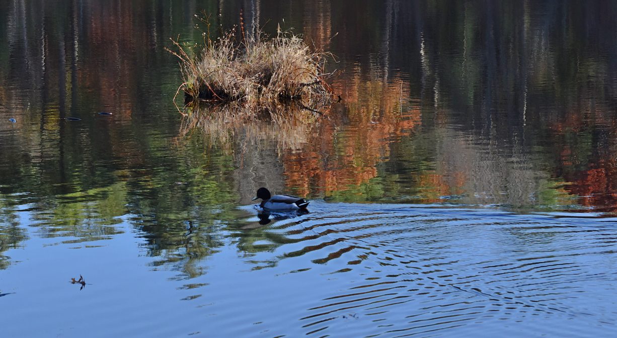
Round Pond is much more than just a pond. The property’s namesake – a 18,000-year old kettle hole — lies at its center. Pine and oak woods surround the pond, and contain a number of intersecting, well-marked trails, some of which traverse wetlands via boardwalk. There are other surface waters nearby too – active cranberry bogs and reservoirs, other ponds, and even a small lake. The Round Pond Conservation Area also includes the David Cutler Forest, named for the conservationist and owner/editor of the Duxbury Clipper, a local newspaper.
In the 1880s, Round Pond was known as Cole’s Pond, and was the site of the Merry Family’s ice house. During the winter, ice from the pond was cut into blocks and stored nearby, with sawdust for insulation. Amazingly, this kept the ice intact into the spring and summer, when it was delivered to private homes. The ice operation continued into the 1940s, after which refrigerators rendered it obsolete.
The property’s “icy” history goes much farther back, though. Kettle hole ponds are formed by melting glaciers, and this one dates back to about 10,000 BCE. Natural ponds such as this are unusual in our area. Most of the South Shore’s ponds were formed as a result of the industrial damming of our rivers, first to run saw and grist mills . . . and then (later) for factories.
As far back as the 1890s, the Duxbury Rural and Historical Society (DRHS) began protecting and preserving the area around the pond, purchasing a total of almost 50 acres to use for carriage rides and as a picnic area. The current trails were opened decades later, in 1986, the result of a joint effort by the Rural and Historical Society and Mass Audubon, which maintains the adjacent wildlife sanctuary at North Hill Marsh. Today, the DRHS holdings are partnered with those owned by the Town of Duxbury, creating more than 170 acres of conservation land between Round Pond, Pine Lake, and Island Creek Pond.
The secluded Cherry Lane Bogs offer access to Island Creek Pond, where there once was a herring fishery. In 1702, when the first dam was constructed on Island Creek, it was required that the builder ensure passage for herring. In the decades to follow, the town appointed men to keep the waterways clear, and to restrict the days and times when herring could be caught. However by the mid-1800s, after industry had come to Island Creek, the herring fishery was forgotten. Dams from a grist mill, a sawmill, a foundry and a tack factory restricted passage and the fishery died out.
Fortunately this lapse did not last long. In 1877, the pond was restocked with alewives and salmon, and the work of keeping the brook clear recommenced, with a fish ladder constructed below Mill Pond in 1907. Efforts to keep fish ladders in working order have continued sporadically since then. For example, the county fire authority constructed a control dam on the creek in the 1930s to increase the size of the pond for water supply, effectively shutting out migratory fish. But in the 1960s and early 2000s, fish ladders were repaired and sluice ways were constructed to allow fish to pass through. In 2026 NSRWA assisted the Town of Duxbury with a herring count to track current fish populations.
Prior to European contact, the Mattakeeset band of the Massachuseuk (or Massachusett) Native American tribe lived for thousands of years in the North River watershed. Their village included most of today’s Pembroke and Hanson. Meanwhile the Patuxet band of the Wampanoag tribe inhabited the Jones River watershed, and the area now known as Kingston, Plymouth and Duxbury. This property lies within the upper portion of the South River watershed — right between those two territories. It’s possible that both tribes utilized the area. To learn more about local Native American tribes, we encourage you to interact with their members. The Mashpee Wampanoag, the Herring Pond Wampanoag, the Mattakeeset band of the Massachusett, and the Massachusett tribe at Ponkapoag all share information on their websites.
Trail Description
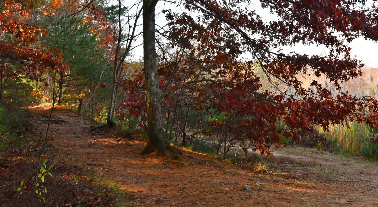
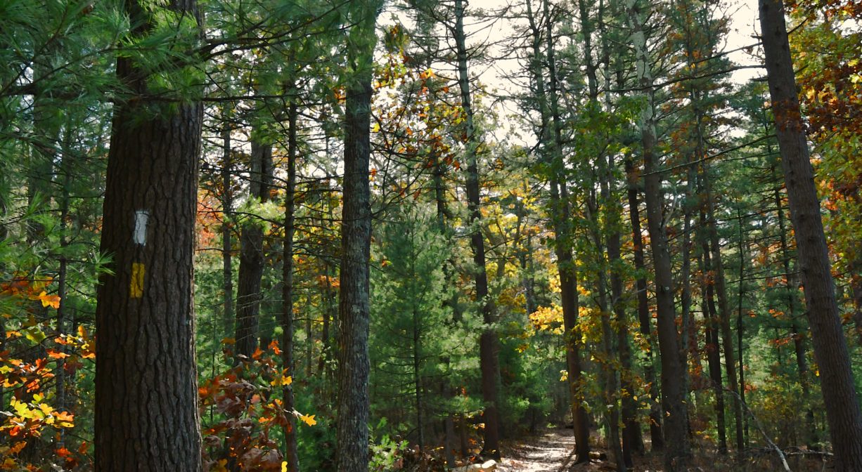
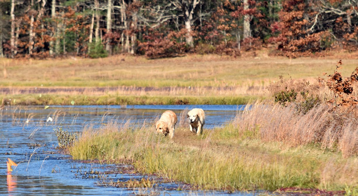
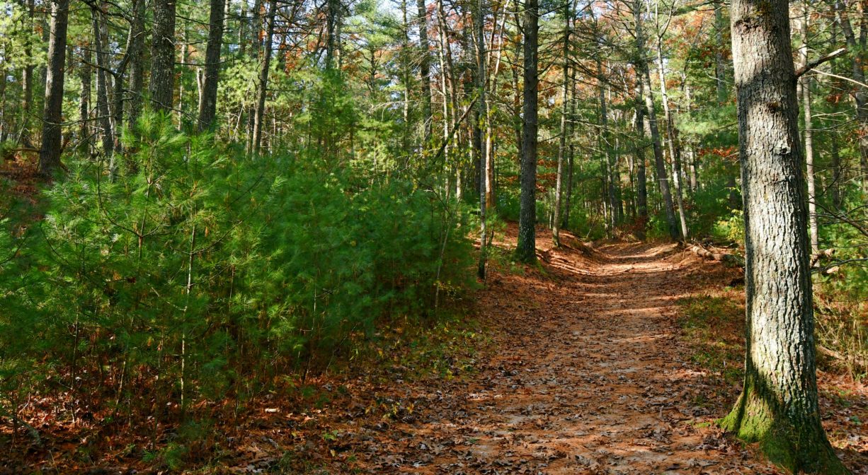
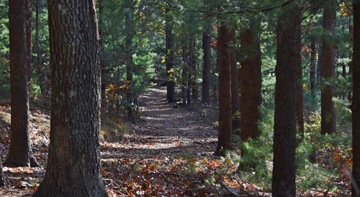
Round Pond features an extensive network of color-blazed, intersecting trails. Some lead through the woods, others encircle cranberry bogs. Many are wide enough to accommodate two or more people. This is a popular place for dog walkers. Download a property map to help you find your way around.
Pedestrian access from Cherry Lane leads directly to a 1-mile network of dirt/gravel roads surrounding the cranberry bogs. However there is no public parking on Cherry Lane, so many visitors access this property from the white and red trails at Round Pond Conservation Area. A portion of the Bay Circuit Trail runs through this property. It is marked with white blazes.
Across Mayflower Street is an even larger greenspace, comprised of the Knapp Town Forest, North Hill Marsh Wildlife Sanctuary, and Waiting Hill Preserve.
Direct access to Island Creek Pond (for anglers and small boats) is available at Crocker Memorial Park, on Tobey Garden Street in Duxbury.
Habitats and Wildlife
This property is diverse. The upland forest is composed primarily of white pine and red oak, with an ample understory of blueberry, fern, and teaberry. In mid-spring, look for lady slippers. The wetland portions of the property are primarily red maple swamp, with alder, sagebrush, and native azalea. The cranberry bogs provide even more variety, attracting wildlife and helping to maintain the town’s water supply. Wildlife commonly found here include white-tailed deer, fox, raccoons and opossums. Look for birds such as osprey, red-tailed hawks, egrets, and great blue herons, plus chickadees, tufted titmice, bluebirds, cardinals and cedar waxwings.
Round Pond is a kettle pond — a shallow, sediment-filled body of fresh water formed by retreating glaciers or draining floodwaters. It is also one of the sources of the South River. The South River originates deep in Duxbury, and winds unobtrusively through the woods for several miles. Although one can view it from Route 3, and also from both the South River Bog and the Camp Wing Conservation Area, it remains a narrow and mostly un-navigable stream until just below Veterans Memorial Park. From there it flows through South River Park, behind the playground of South River School, and under the Willow Street and Francis Keville Bridges. Wider at that point, and navigable at most tides, its course winds through the marshes as it runs parallel to Route 139, all the way to Rexhame. From there the river turns northward. It flows for 3 miles between Humarock and the mainland to Fourth Cliff, where it joins the North River at its outlet to the sea.
The Cherry Lane Bogs property is made up mostly of 2 large cranberry bogs and a small pond, surrounded by dirt/gravel roads, and bordered by open fields, woods and wetlands. The woods include oak, beech, birch, and pine, with some red maple swamp and plenty of greenbrier. The 35-acre Island Creek Pond is directly adjacent; there is a small clearing on the pond that would suit anglers. It is about 0.75 miles in length and 0.5 miles in width, with a depth no greater than 8 feet. This is an entirely different watershed. Fed by natural springs, Island Creek flows south for two miles through Mill Pond, under Route 3A (Tremont Street), and into Kingston Bay at Hicks Point.
There is a sluice way downstream of Elm Street and a fish ladder downstream of Tremont Street to facilitate the migration of anadromous fish. Alewife and blueback herring, as well as rainbow smelt, swim upstream to spawn in Island Creek Pond. Other fish commonly found here include largemouth bass, pickerel, yellow perch, sunfish, shad, and crappie.

Historic Site: No
Park: No
Beach: No
Boat Launch: No
Lifeguards: No
Size: 232 acres
Hours: Dawn to Dusk
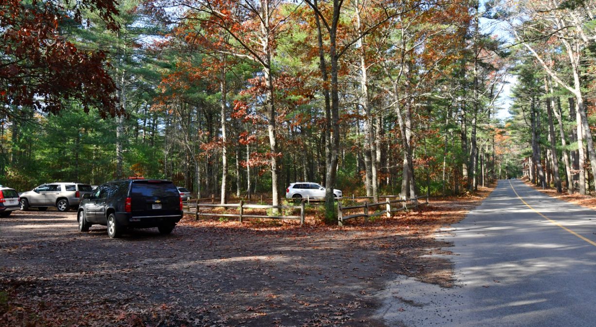
Parking: Limited on-site parking on Mayflower Street. Pedestrian access from East Street and Cherry Lane.
Cost: Free
Trail Difficulty: Easy
Facilities:
Occasional benches and boardwalks, informational kiosk. Geocache location.
Dogs: All dogs shall be effectively restrained and controlled by a chain or leash, or otherwise under the immediate and effective control of a handler, or confined to a motor vehicle. Each person who owns, possesses or controls a dog shall remove and properly dispose of any feces left by his/her dog. For current rules see: https://www.town.duxbury.ma.us/animal-control
Boat Ramp: No
ADA Access: No
Scenic Views: Yes
Waterbody/Watershed: South River watershed and Island Creek watershed