
1103 Main St, Hingham, MA 02043, USA
Hingham School Dept. (781) 741-1500
Owned By: Town of Hingham
The 31-acre Hingham Middle School property offers a 1-mile trail system with woodland seating, an intriguing rocky area, vernal pools, and several views of Accord Brook. The trail begins at the back of the school and connects to Main Street. Along the way, you’ll cross the historic Gardner’s Bridge. The property also features tennis courts and athletic fields. It is also known as the South Junior High School Area.
Hunting is not allowed on this property.
Extend your walk by visiting Marchesiani Farmlands and the McKenna Marsh Conservation Area, with trail access just up the road.
Features
This land is within the region of the Massachusett (or Massachuseuk). To learn more about local Native American tribes, we encourage you to interact with their members. The Massachusett tribe at Ponkapoag and the Mattakeeset band of the Massachusett share information on their websites.
Trail Description
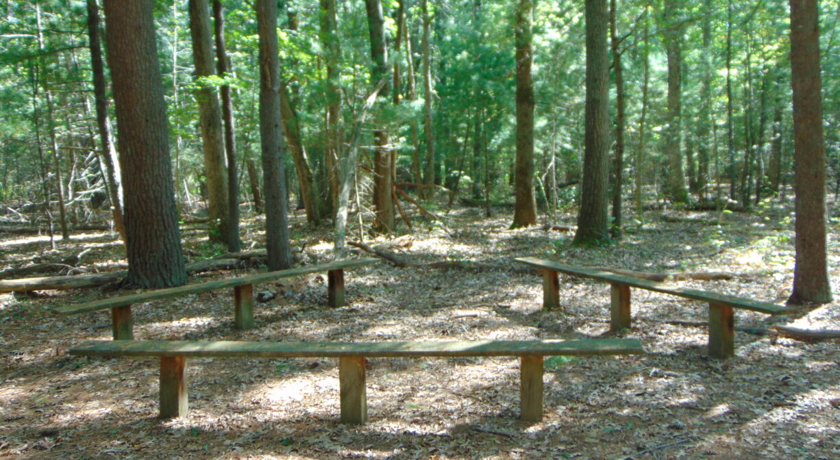
Look for the trailhead behind the school, just before Door #19. It begins with two pine trees, where the stone walls ends, and extends as a wide path through a pine-oak forest. After about 0.1 mile, the trail arrives at a clearing where there are benches and picnic tables. The trail makes a short loop through the clearing and arrives at an intersection. Go straight to return to the school, or bear right on a narrower trail, blazed in red.
The blazes on this trail are faint, and the trail can be difficult to follow. After another 0.13 mile, it arrives at another cluster of benches, somewhat overgrown with brush. You can hear Accord Brook, and you’ll soon see it. There are some planks and log bridges over the wetter areas, but guesswork may be required. After another 0.1 mile, you will arrive at the brook. At this time, there is no bridge. Wading through the often-shallow water is possible. (It may be a little too wide to leap over.) Altogether, this section of the trail is about 0.45 miles.
On the other side of the brook, is a very wide and well-established trail. Turn right to enjoy additional views of Accord Brook. The trail in this direction ends at the brook. Or turn left, and follow the wide trail through an intriguing rocky area, past an old foundation, to Main Street. This section of the trail is about 0.25 miles.
Turn left at Main Street, follow the sidewalk for another 0.25 mile, back to the school. Along the way, you’ll cross historic Gardner’s Bridge, were you can enjoy another view of Accord Brook. Or to extend your walk, turn right and proceed to the Marchesiani Farmlands and McKenna Marsh trail system, just up the road.
There are additional views of the brook from a short trail near Door #8. Technically, this trail connects to the intersection above (at 0.45 miles), but it tends to be wet, and involves another, more challenging brook crossing. At this time, it is not recommended.
Habitats and Wildlife
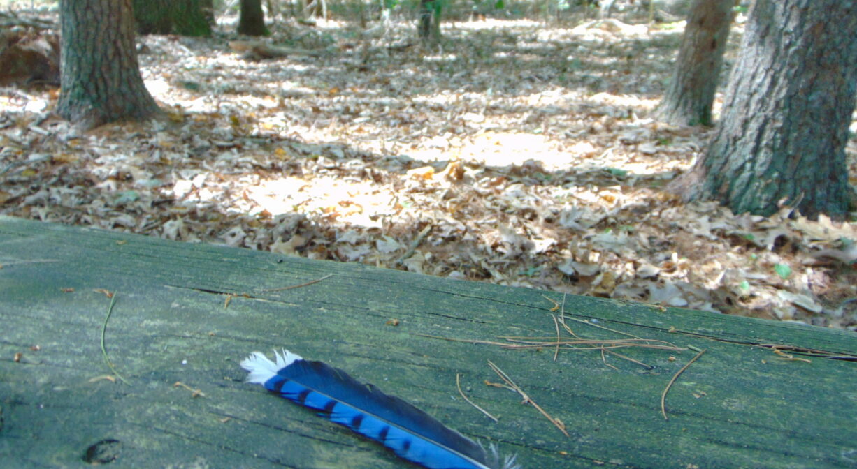
The first section of the trail extends through pine-oak forest, with some scattered beech trees. At the trail approaches Accord Brook, there are more wetland-tolerant species such as maple and sweet pepperbush. Along the trail that leads to Main Street there are white and yellow birch trees and some moss. Look and listen for squirrels, chipmunks, and such birds as blue jays, woodpeckers, chickadees and crows.
Accord Brook flows through this property and eventually into Wompatuck State Park, through Triphammer Pond, to the Weir River. Formed at the confluence of Crooked Meadow River and Fulling Mill Brook, the Weir River flows for a mile or so north through Hingham. Farther downstream, it turns northeast and flows for another 1.4 miles, through Weir River Farm and eventually into Foundry Pond. The Weir River Estuary, designated by the Commonwealth of Massachusetts as an Area of Critical Concern, begins just below the manmade dam at the pond. The mile-wide estuary forms the border between Hingham and Hull, and empties into Hingham Bay. We encourage you to follow and support the Weir River Watershed Association.


Historic Site: No
Park: No
Beach: No
Boat Launch: No
Lifeguards: No
Size: 31 acres
Hours: Dawn to Dusk
Parking: Ample on-site parking at 1103 Main Street. Please restrict trail use to times when school is not in session.
Cost: Free
Trail Difficulty: Easy
Facilities:
Benches, picnic tables.
Dogs: Dogs must remain on leash. Always clean up after your dog! No dogs on athletic fields/tennis courts.
Boat Ramp: No
ADA Access: No
Scenic Views: Yes
Waterbody/Watershed: Accord Brook (Weir River)