
38 Forest St, Norwell, MA 02061, USA
Norwell Conservation: (781) 659-8022
Owned By: Town of Norwell
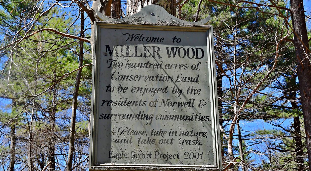
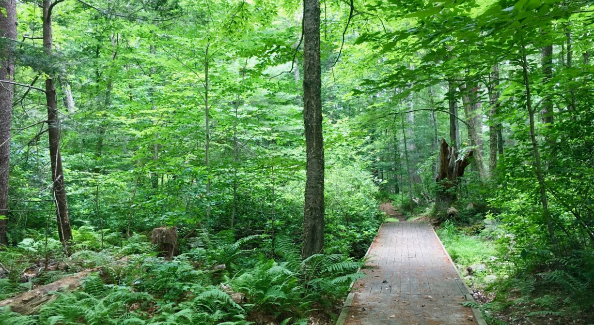
Miller Woods in Norwell is a 47-acre conservation parcel with just over a mile of loop trails and boardwalks through upland and wetlands. In the woods, you’ll see glacial erratic boulders and several old stone walls. Miller Woods is one of many access points to Norwell’s Pathway, a paved bike and walking trail.
HUNTING: Those who hold town-issued permits may use this property for seasonal hunting and trapping. Hunting is not allowed on, or across, any trail. Visit the hunting page on Norwell’s website for details. Non-hunters, be mindful of hunting seasons, and wear bright orange if you’re entering the property during those times. Hunting is not permitted on Sundays.
Features
Miller Woods was originally part of the historic 1835 Cushing Family property at 580 Main Street, which the Cushings used as a summer home. Florence Cushing passed away in 1920, and then in the 1930s, Lillian and Spencer Miller purchased the property. In 1946, Lillian (who was widowed) sold the woodlot on Forest Street to the town for $70,000. Developing it with house lots was not an option, due to the presence of wetlands. It is surrounded by horse farms.
This land is within the region of the Massachusett (or Massachuseuk) Native American tribe. For thousands of years, the land today known as Norwell was inhabited by indigenous people who grew crops, foraged, hunted, and fished in the Assinippi and North River areas. Circa 1617, a major outbreak of disease decimated an estimated 90% of the native population in New England. Descendants of these original inhabitants are living here today. They are known as the Mattakeesett Tribe of the Massachusett Indian Nation, the Massachusett Tribe at Ponkapoag, the Herring Pond Wampanoag, and the Mashpee Wampanoag tribe.
Trail Description
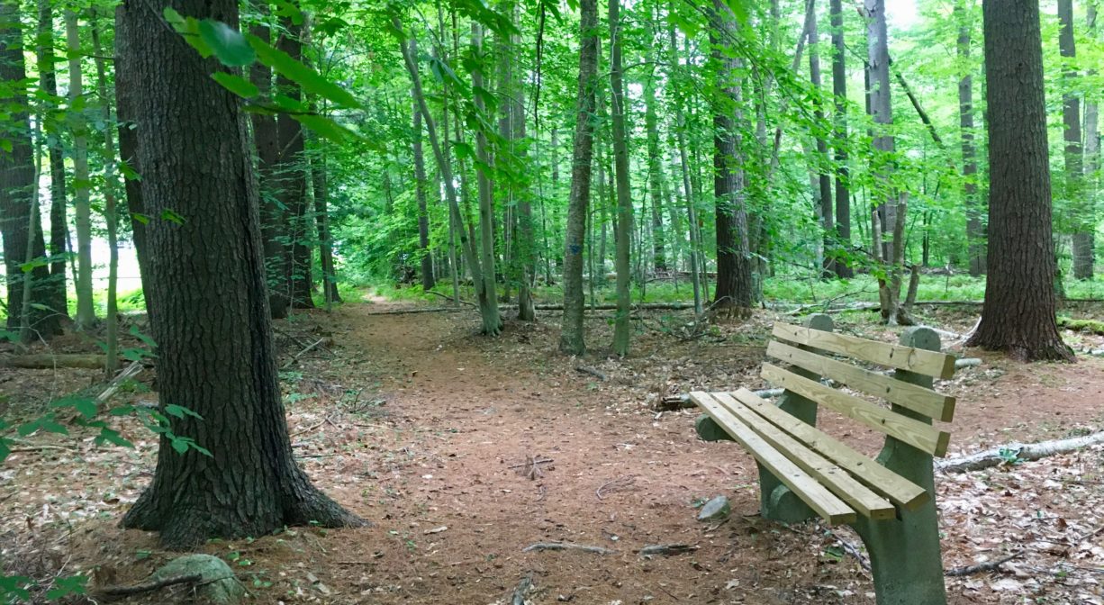
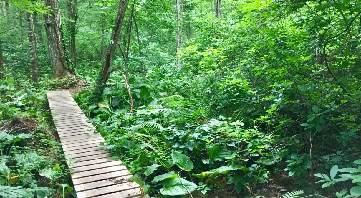
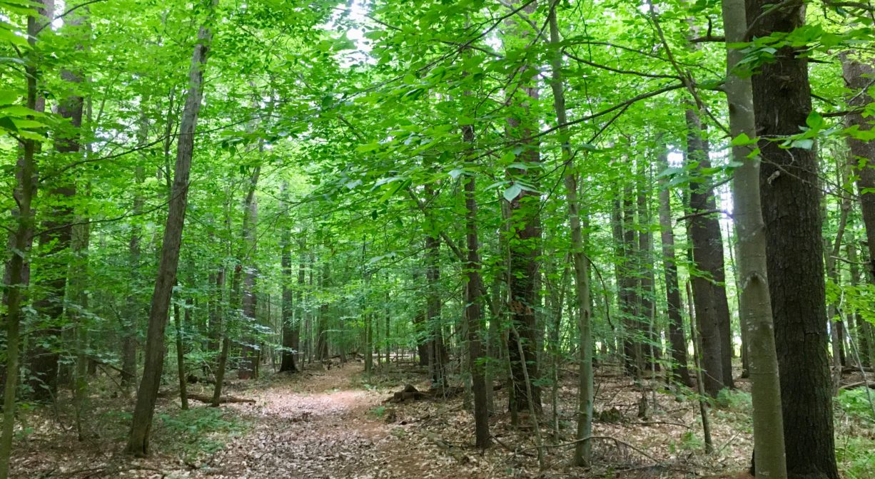
The main trail at Miller Woods is well traveled and well marked. A short distance inside the property you’ll find a wooden sign that explains how to find the loop trail as well as the picnic area. About halfway down the main trail, a bridge crosses a small stream. The main trail connects to a half mile loop trail through a red maple swamp, with numerous boardwalks. All trails are blazed.
Miller Woods borders Jordan’s Lane, a historic cart path that connects Forest Street and Main Street. The trail system connects to this path, creating a broad loop . . . if you can figure out all the correct turns that are required! (Fear not: it’s fairly intuitive, and blazes are well-posted through the confusing areas.) This loop a about a mile total.
Habitats and Wildlife
Miller Woods is a forest made up primarily of pine. There is a hemlock grove close to the parking area on Forest Street and a red maple swamp on the property. You’ll also see birch, holly, oak, and lots of beech, plus numerous ferns and sweet pepper bush. Near the start of the wetlands trail, there is an enormous dead (but still standing) beech tree. There are a few glacial erratics near Jordan Lane. In the wetlands, in the warmer months and especially as dusk approaches, listen for the mating call of spring peepers. Along the trail, you may see fox and turkey. The streams here flow to Second Herring Brook, a tributary to the North River.
Second Herring Brook originates north of Cross Street in Norwell and flows south through Turner Pond and Torrey Pond. Below Torrey Pond, it is joined by Trout Brook. Second Herring Brook continues through Norwell Center and the Norris Reservation, and then empties into the North River.
The North River rises from marshes and springs in Weymouth, Rockland and Hanson. It is approximately 10 miles in length, with its source at the confluence of the Indian Head River (Hanover) and Herring Brook (Pembroke). From there it flows through the towns of Hanover, Pembroke, Marshfield, Norwell, and Scituate to the Atlantic Ocean between Third and Fourth Cliffs, draining approximately 59,000 acres along the way.


Historic Site: No
Park: No
Beach: No
Boat Launch: No
Lifeguards: No
Size: 47 acres
Hours: Dawn to Dusk
Parking: Limited on-site parking at 38 Forest Street.
Cost: Free
Trail Difficulty: Easy
Facilities:
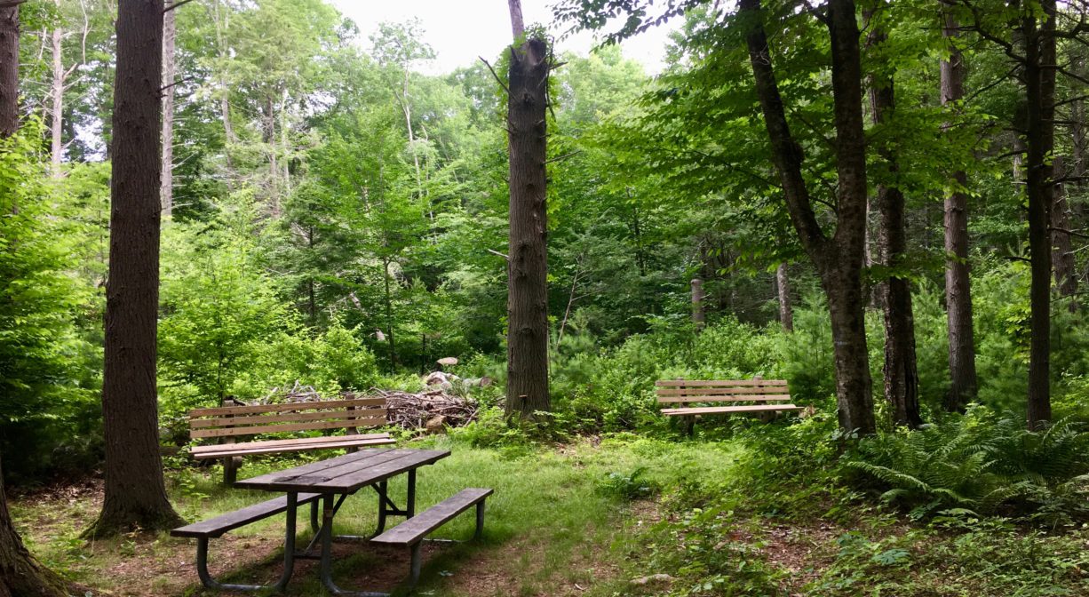
Benches and a picnic table in the hemlock grove close to the parking area. Another bench near Jordan Lane. Geocache location.
Dogs: Dogs must remain on leash. Please clean up after your pet!
Boat Ramp: No
ADA Access: No
Scenic Views: Yes
Waterbody/Watershed: Second Herring Brook (North River watershed)