
Donovan Fields, Circuit St, Norwell, MA 02061, USA
Norwell Pathway Committee: (781) 659-8021
Owned By: Town of Norwell
The Norwell Pathway is a 3.5-mile network of paved walking/cycling trails, sidewalks and boardwalks. It provides an alternative to crossing the town of Norwell on foot or bicycle, and runs parallel to Route 123. Along the way, it connects Norwell High School, Woodworth Memorial Park, Norwell Middle School, Norwell Community Gardens, the Donovan-Wildcat Conservation Area, Miller Woods, Gaffield Park, Norwell Town Center, and the Norris Reservation. It is stroller- and wheelchair-friendly.
Features
The Norwell Pathway is also known as the Bicycle & Pedestrian Path.
This land is within the region of the Massachusett (or Massachuseuk) Native American tribe. For thousands of years, the land today known as Norwell was inhabited by indigenous people who grew crops, foraged, hunted, and fished in the Assinippi and North River areas. Circa 1617, a major outbreak of disease decimated an estimated 90% of the native population in New England. Descendants of these original inhabitants are living here today. They are known as the Mattakeesett Tribe of the Massachusett Indian Nation, the Massachusett Tribe at Ponkapoag, the Herring Pond Wampanoag, and the Mashpee Wampanoag tribe.
Trail Description
New access to the Norwell Pathway from the downtown area was added in the 2020s. Look for the sidewalk by the First Parish Church.
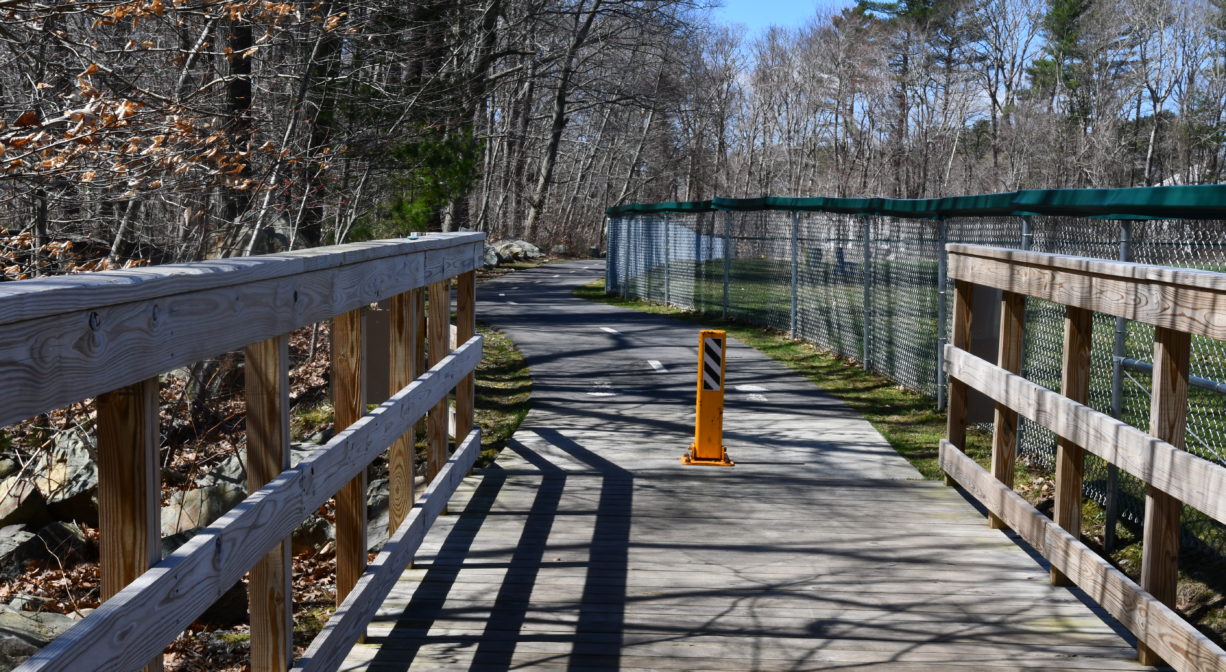
One way to access the Norwell Pathway is from Gaffield Park, the playground at the corner of Forest and River Streets. The Pathway is essentially a sidewalk along Forest Street, but it’s a nice sidewalk! The Pathway crosses Forest Street twice – before Miller Woods and a short distance after it.
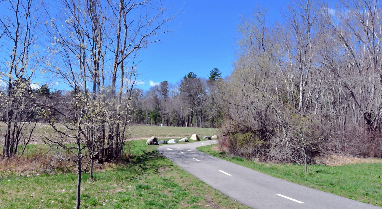
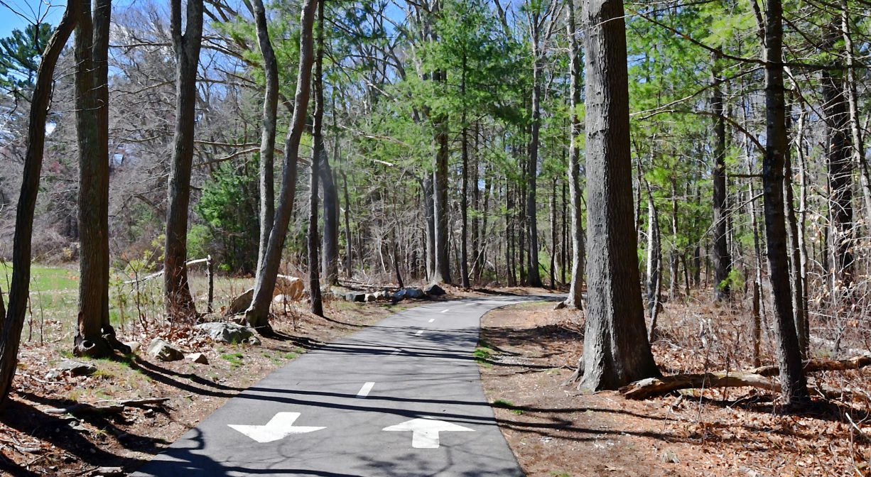
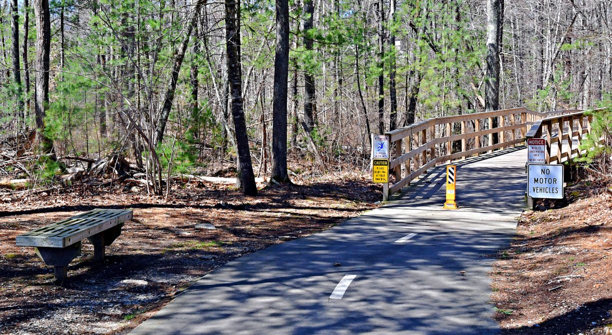
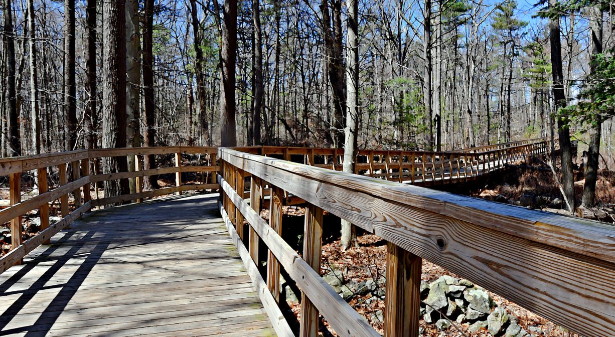
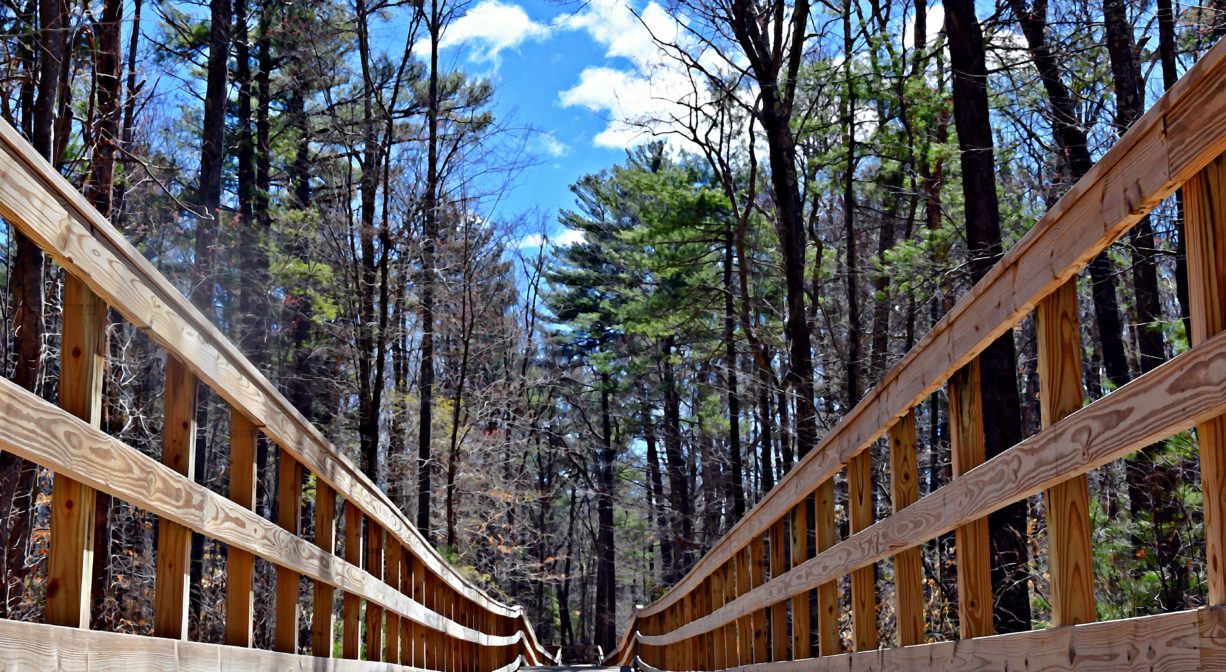
After the intersection with Circuit and Pleasant Streets, it becomes a true cycling and walking trail. Wider than the sidewalk, with marked lanes, The Pathway continues to the Middle School complex. Along the way, it skirts the edge of the Donovan fields and the Norwell Community Gardens, where there is also a large parking area and trail access. Next, it snakes through woods and wetlands, and even over streams (thanks to some beautifully-built boardwalks).
Eventually The Pathway emerges at the far edge of some of the town’s soccer and lacrosse fields, continues past the Transfer Station, and dips back into the woods for its final leg. Additional boardwalks and paved sections lead to Cushing Hill Road, a residential street that intersects with South Street. Across the road and down a short distance is Norwell’s high school/library complex.
Habitats and Wildlife
The Norwell Pathway extends through the watersheds of Third Herring Brook, Margaret’s Brook, and Second Herring Brook, all of which drain to the North River.
The North River, approximately 10 miles in length, begins at the confluence of the Indian Head River (Hanover) and Herring Brook (Pembroke). From there it flows through the towns of Hanover, Pembroke, Marshfield, Norwell, and Scituate. It empties into the Atlantic Ocean between Third and Fourth Cliffs, draining approximately 59,000 acres along the way.


Historic Site: No
Park: No
Beach: No
Boat Launch: No
Lifeguards: No
Size: 3.5 miles
Hours: Dawn to Dusk
Parking: Park at Gaffield Park, Miller Woods, Donovan/Wildcat Conservation Area, Norwell Middle School or Norwell High School.
Cost: Free
Trail Difficulty: Easy
Facilities:
Geocache locations. Boardwalks and occasional benches.
Dogs: Dogs must remain on leash. Always clean up after your dog!
Boat Ramp: No
ADA Access: Yes
Scenic Views: Yes
Waterbody/Watershed: Second Herring Brook and Third Herring Brook (North River watershed)