
80 Market St, Rockland, MA 02370, USA
Owned By: Spring Lake Cemetery
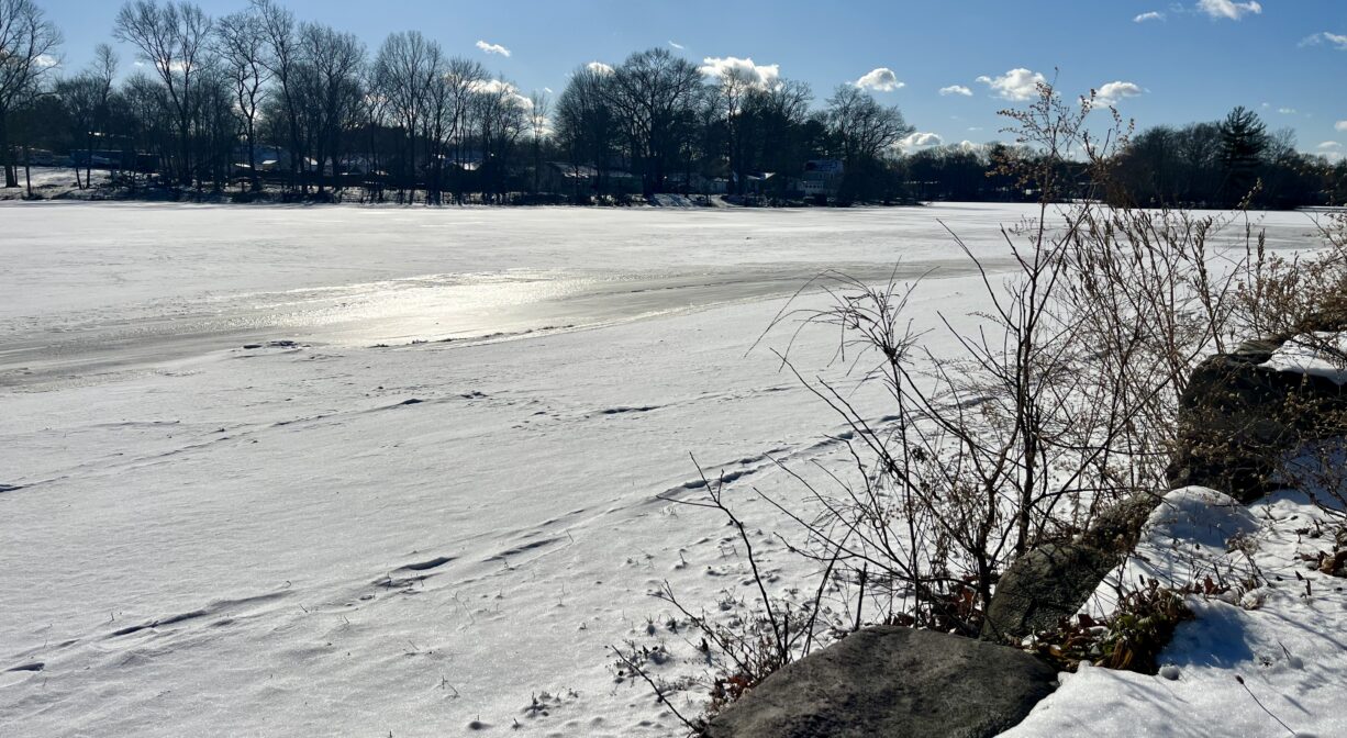
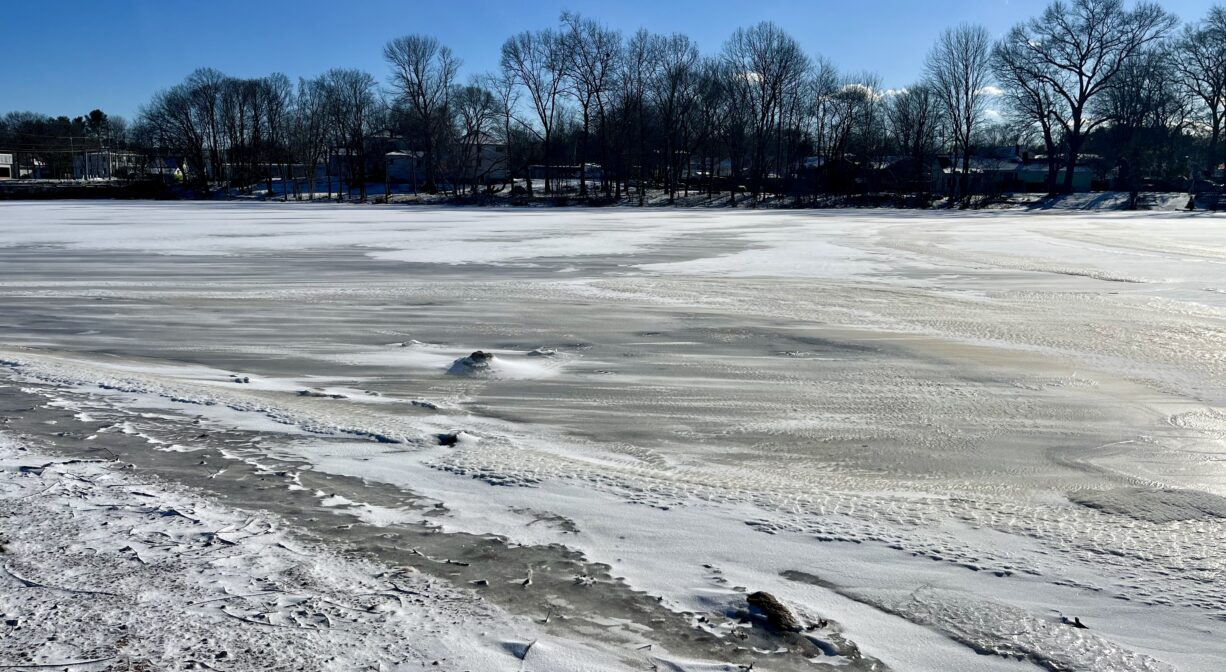
Studley Pond in Rockland is a small pond, suitable for fishing and paddling. It was formed when French’s Stream was dammed for industrial purposes in 1705. Also known as Reed’s Pond, it is located near the town’s commercial center. It is privately owned, but open to the public.
FISHING ADVISORY: It’s important to know that some of our freshwater fisheries are contaminated with mercury, PFAS and/or other concerning substances. The Massachusetts Department of Public Health maintains an online database with up-to-date advisories regarding fish consumption, sorted by location. We recommend you consult this valuable resource when planning a fishing excursion.
Features
The first recorded name of this pond was Silver Lake. Later it was known as Reed’s Pond and Studley’s Pond. It was formed in 1705 when the French brothers dammed French’s Stream and constructed a sawmill on site. In the 1800s, Samuel Reed, an abolitionist, lived beside the pond. His home was a station on the Underground Railroad.
According to Abington’s Dyer Library, the pond was named for Ezekiel Studley, who served as Rockland’s town clerk from 1875 to 1916. In 1901, Gideon Studley erected a box factory on this site. The island within the pond is named for him (Gideon’s Island). Also, in the 1800s, the Tudor Ice Company of Boston harvested ice here and at other local ponds. In the early 20th century, use of the pond became more recreational. There was a pavilion, and swimming was a popular pastime in the summer. This continued into the 1950’s/1960’s, but poor water quality eventually put an end to it.
Fishing remains a common activity here. Paddlers are also welcome. Vestiges of walls, steps and decorative features from prior enterprises can be found along the edges of the pond. The Spring Lake Cemetery is immediately adjacent.
This land is within the region of the Massachuseuk (or Massachusett) Native American tribe. According to Martha Campbell’s Remembering Old Abington, the original town of Abington included today’s Abington and Rockland as well as most of Whitman. in the 1660s, European settlers from Weymouth began establishing homesteads within the town. While the settlers came from Massachusetts Bay Colony, the land was part of Plymouth Colony. All of the 18 original land grants were along the Satucket Path, a trail established by Native Americans that extended from Wessagusset in North Weymouth to Robbins Pond in East Bridgewater.
In her book, Campbell also recounts how Gideon Studley found a Native American stone mortar near the pond, while plowing a cornfield on the site of what is now the parking area for Rockland Plaza.
To learn more about local Native American tribes, we encourage you to interact with their members. The Mattakeeset band of the Massachusett, and the Massachusett tribe at Ponkapoag, both share information on their websites.
Trail Description
No trails, but there is enough shoreline for a short walk.
Habitats and Wildlife
The pond has some oak, maple and hemlock trees along its perimeter. There is a sandy beach-like area, suitable for fishing. Largemouth bass and sunfish are sometimes found here. In season, it’s common to see ducks and geese on the pond. Please do not feed the waterfowl.
Studley is not a natural pond; it’s an impoundment that was formed when French’s Stream was dammed for industrial purposes. French’s Stream flows through the pond, and then continues south into Hanover. On the outskirts of Forge Pond Park, it flows into the Drinkwater River. The Drinkwater River flows through Forge Pond and Factory Pond before turning east and becoming the Indian Head River. It joins Herring Brook in Pembroke and Hanover to form the North River, which flows 12 miles through Hanover, Pembroke, Norwell, Marshfield, and Scituate, to the Atlantic Ocean.


Historic Site: No
Park: Yes
Beach: No
Boat Launch: Yes
Lifeguards: No
Size: 29 acres
Hours: Dawn to Dusk
Parking: Limited on-site parking at 80 Market Street (Route 123). Access road is to the left of the CVS.
Cost: Free
Trail Difficulty: Easy
Facilities:
Benches, geocache location.
Dogs: Dogs must remain on leash. Always clean up after your dog!
Boat Ramp: No
ADA Access: No
Scenic Views: Yes
Waterbody/Watershed: French's Stream (North River watershed)