
192 Chief Justice Cushing Hwy, Hingham, MA 02043, USA
http://www.cohassetconservationtrust.org/turkeyhill.html
Owned By: Managed by The Trustees in cooperation with the Towns of Cohasset and Hingham.
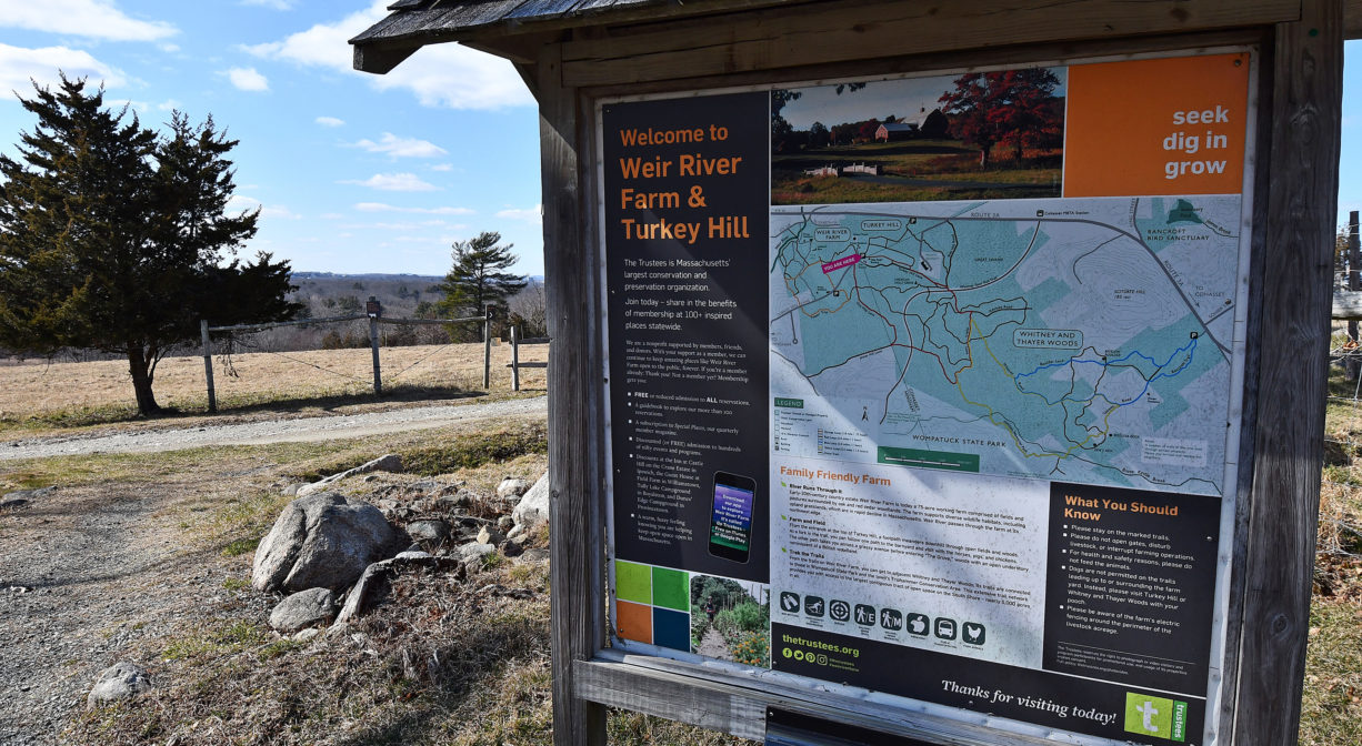
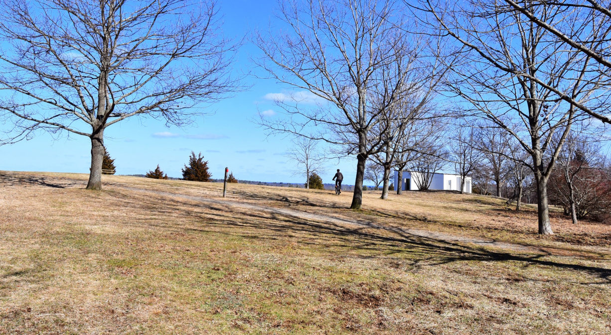
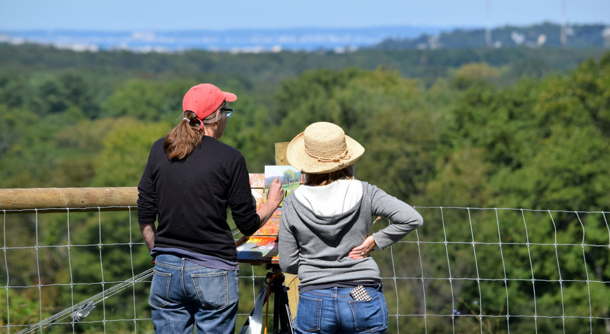
Turkey Hill in Hingham is a 62-acre property managed by both The Trustees and the Cohasset Conservation Trust. Hike or drive to the top of the 187-foot hill for spectacular views of the Boston skyline and the Boston Harbor Islands. The property features several miles of well-marked trails that connect to the Whitney Spur Rail Trail, Weir River Farm and Whitney & Thayer Woods.
Features
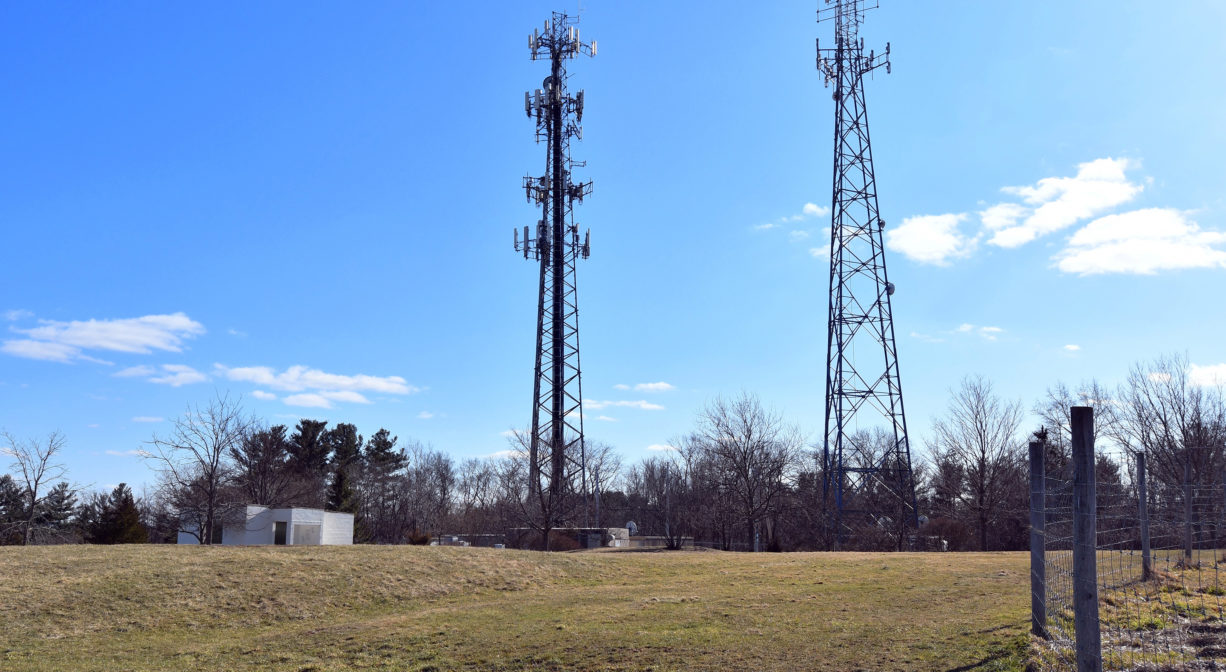
During the Cold War, an anti-missile radar control station (NIKE) was located here. A cinderblock building is all that remains. Beginning in the late 1990s, the Cohasset Conservation Trust worked with The Trustees (formerly Trustees of Reservations) to purchase this property. This was made possible by a state grant, plus funds from private donors.
According to Elizabeth Coatsworth’s South Shore Town, during the War of 1812, citizens of Hingham watched the fight between the British Shannon and the American Chesapeake from this hill. The battle between the two ships took place off the coast of Scituate, with the British prevailing. “Don’t give up the ship!” the last words of Chesapeake Captain James Lawrence, became a rallying cry for the US Navy and are commemorated with a plaque at the Scituate Lighthouse.
This land is within the region of the Massachusett (or Massachuseuk). To learn more about local Native American tribes, we encourage you to interact with their members. The Massachusett tribe at Ponkapoag and the Mattakeeset band of the Massachusett share information on their websites.
Trail Description
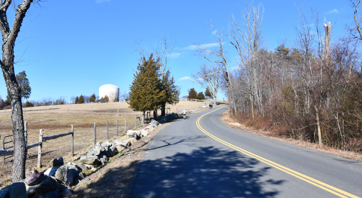
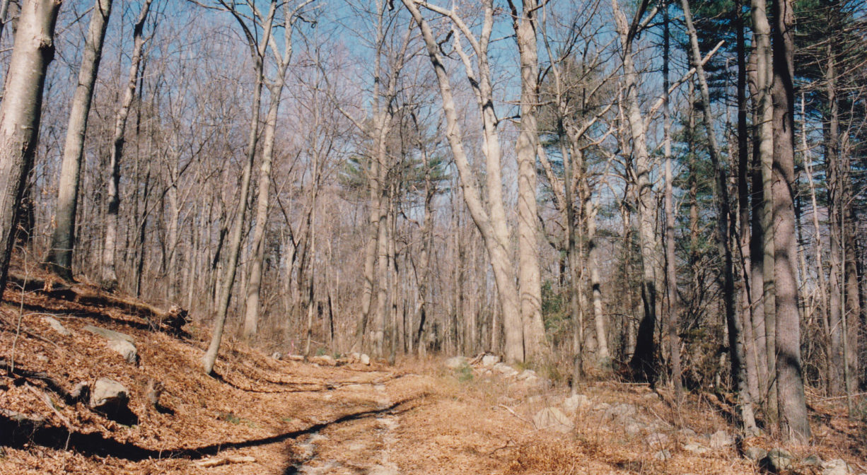
From the Route 3A entrance, you can follow a trail up to the top of the hill (go right at the fork). You can also access the Whitney Spur Rail Trail (Wompatuck State Park) by going left at the fork, and onto Side Hill Road. This trail also connects to Whitney-Thayer Woods, a large Trustees property with 10 miles of carriage roads for hiking. From the top of the hill, near the end of Turkey Hill Road, you can access the trails of Weir River Farm.
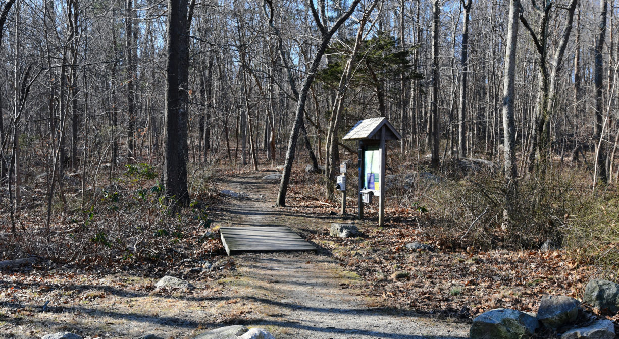
Suggested Hikes: From the parking area on Route 3A, begin at the kiosk, where you’ll find the trailhead. At the first fork, turn right. This steep trail will soon (0.15 miles) bring you to an open, grassy area where you can see much of Turkey Hill. Bear left as you approach the open area, and follow the mowed-grass trail along the edge of the property. When you reach the top, there are two options.
• For a short hike (0.5 mile), look for where the mowed grass path continues past a small concrete building. You can follow this trail all the way around the top of the hill. There are some tree swallow/bluebird nesting boxes along the way that can offering some excellent wildlife viewing in the spring and summer! This trail will eventually bring you back to where you first reached the open field. Head back downhill and bear left at the fork to return to the parking area.
• For a long hike (2 to 2.5 miles, blazed in red), pass through the parking area and head down Turkey Hill Road toward the Weir River Farm buildings. Very soon, you will see a small parking area on the left, as well as a sign for One Way Lane. Follow One Way Lane downhill, and then uphill, and eventually to the intersection with James Hill Lane*. Bear left at this intersection into Whitney & Thayer Woods. The trail continues through the woods, crosses the Whitney Spur Rail Trail, and around to the Ayer’s Lane Trail and Adelaide Road. This curves around to cross the Whitney Spur again, and then there’s an intersection with Side Hill Road and Turkey Hill Lane. The red blazes will lead you up Turkey Hill Lane and out into the open grassy hilltop, and then you can retrace your steps from the top to return to your starting place. Altogether, most of this trail loop is a wide carriage road, but there are occasional hilly sections. Consider extending your walk a bit more by following the white-blazed trail through the American Holly Grove back to One Way Lane. The property features several maps with “You Are Here” markers to assist hikers. Carrying property maps for both Wompatuck State Park and Whitney & Thayer Woods will help immensely.
For a shortcut, if you don’t mind a narrower, rockier trail and rougher terrain, follow Side Hill Road and then watch for the sign that points to the left, to the trail that leads back to the parking area (it may seem like staying on Side Hill Road is the better way to go, but it’s not, unless you’d prefer to walk on Route 3A). Along this route you’ll find a couple of stream crossings, as well as some intriguing rock formations.
* James Hill Lane leads to Leavitt Street in Hingham. It extends for about a half mile from the metal gate on One Way Lane, at the edge of Whitney & Thayer Woods, to #240 Leavitt Street, where there is roadside parking for 3 cars. Along the way is a trail that quickly leads to the NN5 marker in Wompatuck State Park, as well as several rocky outcroppings, old stone walls, a small pond or vernal pool, and some glacial erratic boulders.
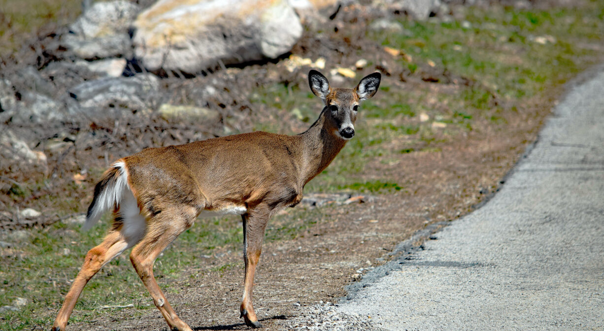
Habitats and Wildlife
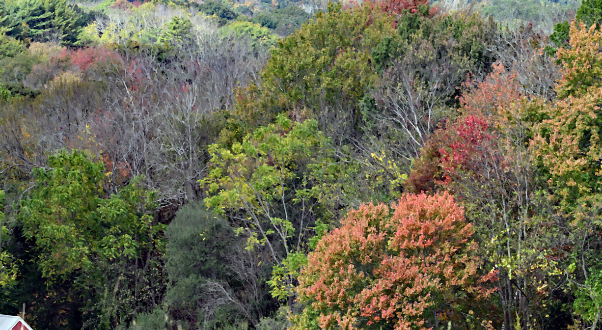
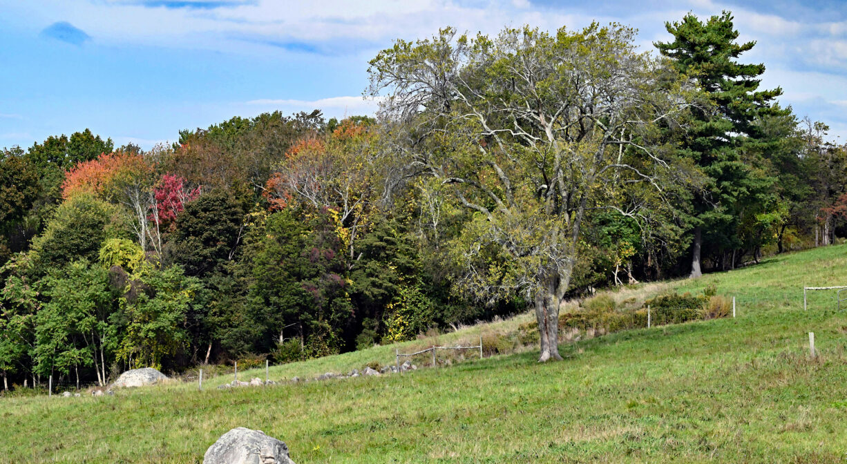
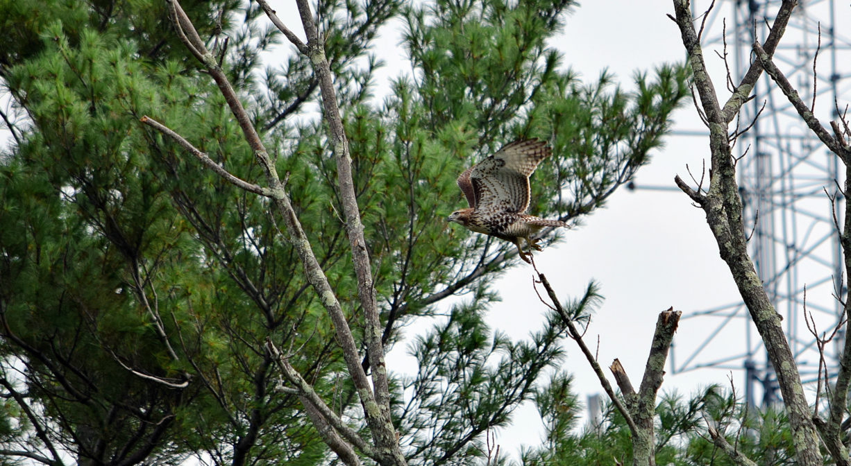
The open fields atop Turkey Hill are mowed annually and otherwise maintained as an ongoing effort to restore grassland birds species, including bobolink and meadowlark. The slopes of the hill are mostly hardwood forest – with maple, oak, and beech, as well as pine and hemlock. There are holly trees along One Way Lane.
Most of this property is part of the Weir River watershed. Formed at the confluence of Crooked Meadow River and Fulling Mill Brook, the Weir River flows north through Hingham, with Tower Brook and Accord Brook joining it in its first mile. It gradually turns northeast and flows for another 1.4 miles, through Weir River Farm and eventually into Foundry Pond. The Weir River Estuary, designated by the Commonwealth of Massachusetts as an Area of Critical Concern, begins just below the manmade dam at the pond. The mile-wide estuary — with numerous acres of undisturbed salt marsh — forms the border between Hingham and Hull, and empties into Hingham Bay. We encourage you to follow and support the Weir River Watershed Association.


Historic Site: No
Park: No
Beach: No
Boat Launch: No
Lifeguards: No
Size: 62 acres
Hours: Dawn to Dusk
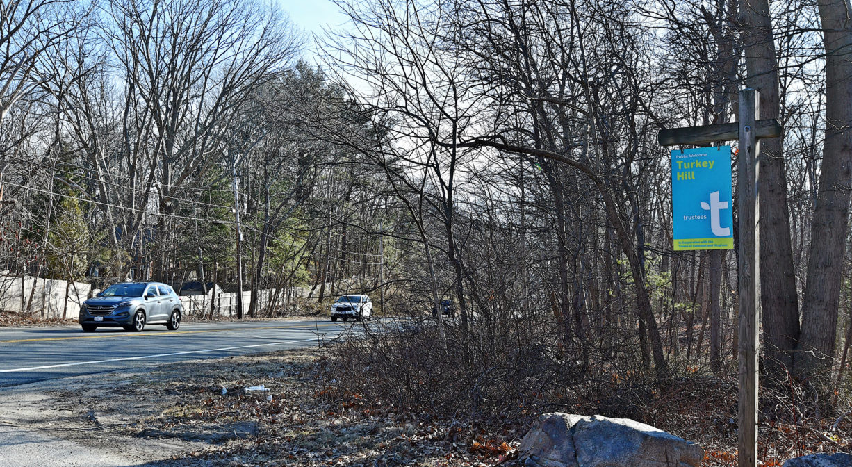
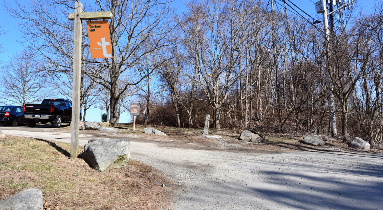
Parking: Parking lots at two locations: on Route 3A in Cohasset (192 Chief Justice Cushing Highway), and in Hingham at the end of Turkey Hill Lane.
Cost: Free
Trail Difficulty: Easy, Medium
Facilities:
Informational kiosks at the parking areas on Route 3A and Turkey Hill Lane.
Dogs: Dogs must remain on leash or under control at all times. Always clean up after your dog!
Boat Ramp: No
ADA Access: No
Scenic Views: Yes
Waterbody/Watershed: Weir River watershed