
Bay Circuit Trail - Trailhead, 797 Indian Head St, Hanson, MA 02341, USA
Hanson Conservation: (781) 294-4119
https://hike.hanson-ma.gov/town-forest.html
Owned By: Town of Hanson
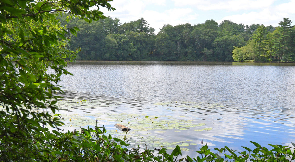
Hanson’s Veterans Memorial Town Forest is a quiet, 35-acre area of woods and wetlands on the shore of Wampatuck Pond. Three footbridges were added in 2021/2022 to facilitate trail access. It offers about 1 mile of trails, including a section of the Bay Circuit Trail.
Hunting is not allowed on this property.
Features
Hanson’s first conservation area (1938), this property was previously known as “Poor Farm.” It is managed by the Town Forest Committee. Overcrowded trees are harvested selectively to improve the longterm health of the forest.
This land is within the region of the Massachusett (or Massachuseuk) Native American tribe. The Mattakeeset band of the Massachusett lived for thousands of years in the North River watershed. Their village included most of today’s Pembroke and Hanson. Wampatuck Pond is named for the Chief Sachem of the Mattakeeset, Josias Wompatuck (also spelled Wampatuck). To learn more about local Native American tribes, we encourage you to interact with their members. The Massachusett tribe at Ponkapoag and the Mattakeeset band of the Massachusett share information on their websites.
Trail Description
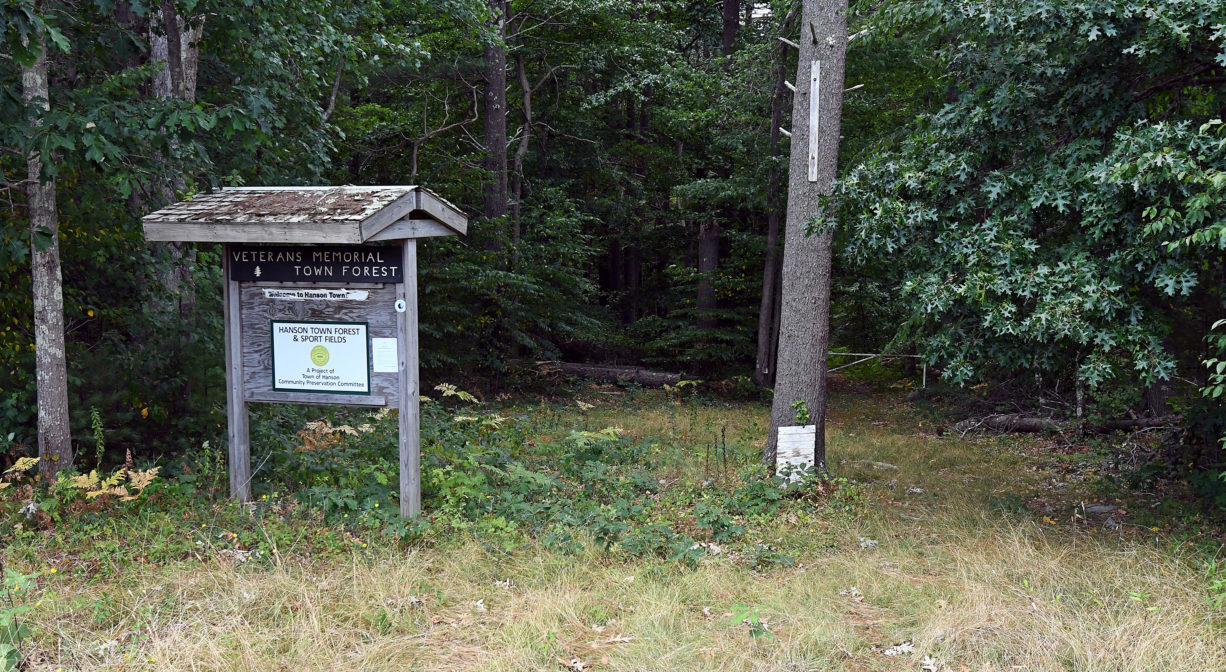
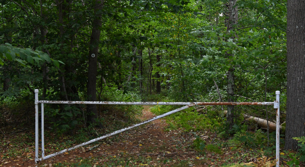
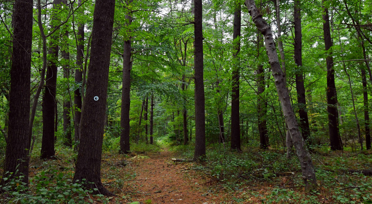
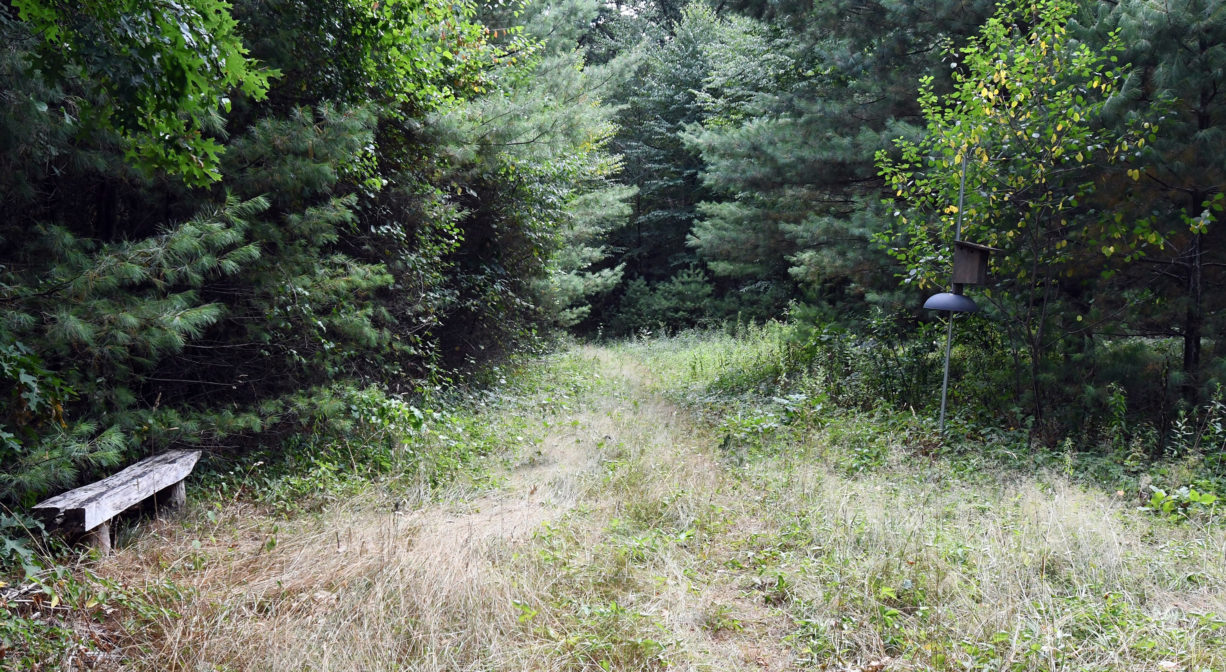
The approximately 1-mile trail network is relatively easy to follow. Some paths are wide, others are narrow, but all are well-trod with few obstacles. A portion of the Bay Circuit Trail, blazed in white, runs through the property. There is a trailhead on Route 58, across the street from the Indian Head School. Look for the informational kiosk. (Park at Botieri Field, the sports complex immediately adjacent to the trailhead.) Trail access is also available at the end of the residential street known as Indian Trail.
Habitats and Wildlife
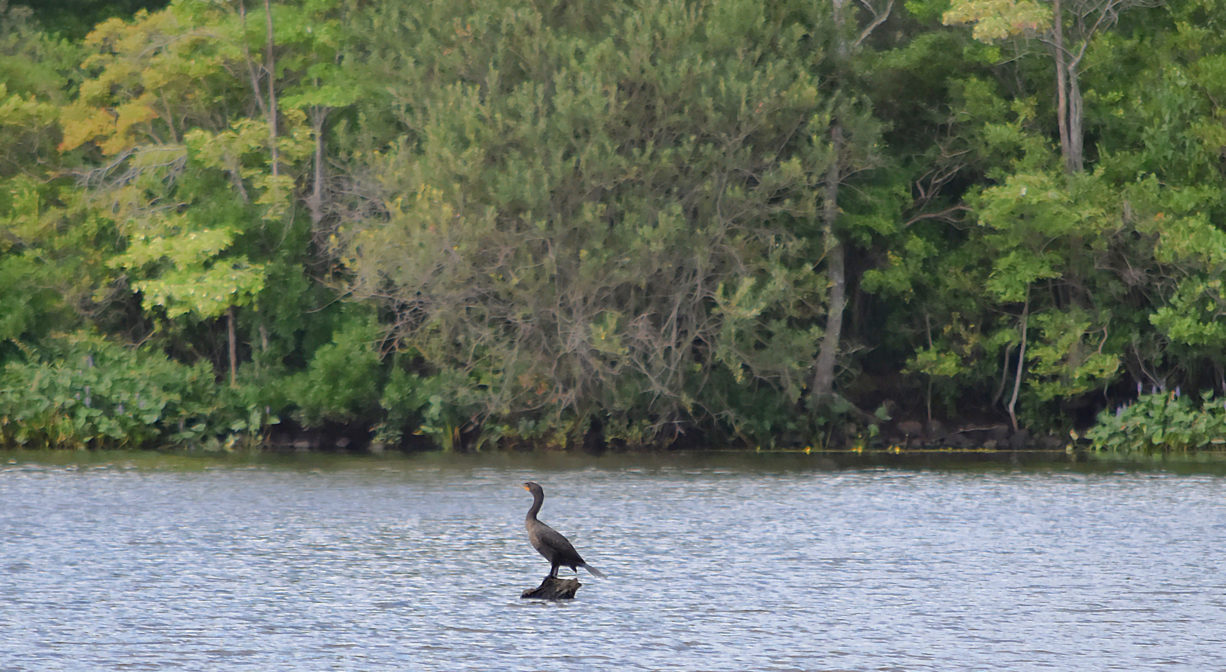
In the woods, you will find pine and oak, as well as maple, beech and holly trees, and also and a remarkably large yellow birch! Other plant life includes ferns and mayflowers. The forest is located directly on Wampatuck Pond. The 62-acre pond is manmade, and Indian Head Brook, a tributary to the Indian Head River, flows through it.
The Indian Head River rises from the Drinkwater River and Factory Pond in West Hanover. It forms the boundary between Hanover and Hanson, and merges with Pembroke’s Herring Brook, a short distance downstream of Ludden’s Ford Park, to form the North River at a spot called The Crotch. The North River flows 12 miles through Pembroke, Hanover, Norwell, Marshfield and Scituate, eventually making its way to Massachusetts Bay and the Atlantic Ocean.


Historic Site: No
Park: No
Beach: No
Boat Launch: No
Lifeguards: No
Size: 35 acres
Hours: Dawn to Dusk
Parking: Park at the Botieri Field/Hanson Skate Park complex on Route 58 (797 Indian Head Street), or at the cul-de-sac at the end of Indian Trail.
Cost: Free
Trail Difficulty: Easy
Facilities:
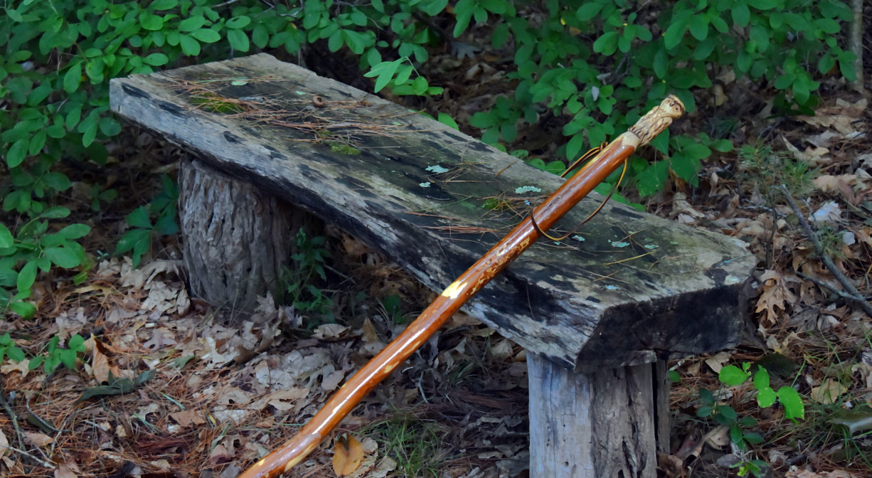
Pond overlook with two benches. Two rough campsites for use by scout groups. Bicycle rack in the parking area.
Dogs: Dogs must remain on leash. Always clean up after your dog!
Boat Ramp: No
ADA Access: No
Scenic Views: Yes
Waterbody/Watershed: Indian Head Brook (North River watershed)